La Clusaz - Col de la Crosatie
Avisos
- High-altitude route: start early, plan time and water, and turn back before early afternoon.
- Residual snow may linger in gullies and on north-facing slopes into early summer: assess current conditions.
- In fog the path across pastures and boulder fields can be hard to follow: rely on waymarks and a map.
6 km
+1168 m
−0 m
4.5 h
Nível físico
Mapa e percurso
Traço GPX — verifique no terreno antes de caminhar
Descrição
Pontos-chave
Partida
La Clusaz · 1660 m
Chegada
Col de la Crosatie · 2829 m
Trilho
S30
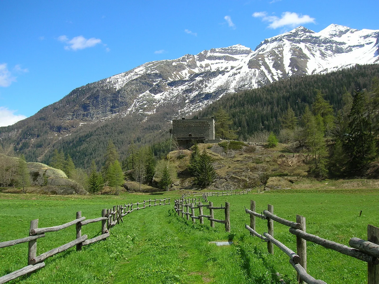
A determined climb from the La Clusaz basin to a high pass in the Valdigne. The route starts at 1660 m, in already-mountainous surroundings where the last conifers alternate with pastures, and gains height steadily up the valley. With +1168 m packed into just 6 km, the gradient is sustained and the route demanding, best tackled with good fitness. As you climb, the woodland thins and gives way to high-altitude meadows and an increasingly rocky setting, up to the final scree slopes that precede the Col de la Crosatie (2829 m). Crossed by the Alta Via No. 2, the pass links the La Salle flank with the Planaval valley and repays the effort with the austere high-mountain scenery that surrounds it. The descent retraces the ascent. Difficulty E.
Estacionamento
Galeria de fotos
Photos are published immediately. JPG/PNG/WebP, max 6 MB.
Flora do trilho
Fauna para observar
AEditado e verificado por Andrea Rama
Fonte dos dados: Catasto Sentieri Regione Autonoma VdA · Open data — DGR 899/2014
Última verificação:
Valle centrale
Trilhos relacionados
Mesmo vale ou percursos semelhantes — mais caminhadas para descobrir.

Valle centrale
Anello del Verrand
2.6 km · +233 m · E — from Château Verrand to Château Verrand (Rhêmes Valley).

Valle centrale
Area giochi Croux - Parleyaz
4.1 km · +476 m · E — from Area giochi Croux to Parleyaz (Central Valley).

Valle centrale
Arlier - Cloutraz (Pontey)
From Arlier (603m) to Cloutraz (1067m) on the Châtillon hillside: 3.5 km E through vineyards, woodland and views over the Dora Baltea.

Valle centrale
Arpilles - Champromenty
2.1 km · +333 m · E — from Arpilles to Champromenty (Lys Valley).