Aymavilles - Torlin
4 km
+848 m
−0 m
3 h
Nível físico
Mapa e percurso
Traço GPX — verifique no terreno antes de caminhar
Descrição
Pontos-chave
Partida
Aymavilles · 770 m
Chegada
Torlin · 1622 m
Trilho
S16
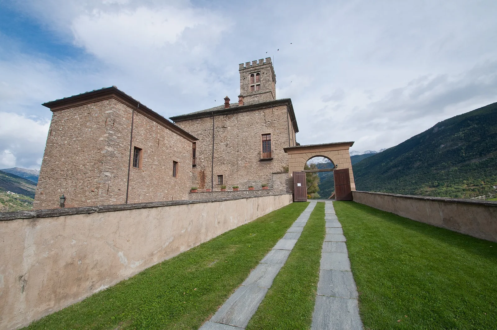
This route in the Val di Cogne links the valley floor at Aymavilles (770 m) to the broad pastures of Torlin (1622 m), gaining 848 m over 4 km. The path follows an ancient track used for centuries by farmers and shepherds moving livestock to summer grazing grounds. The lower section winds through mixed woodland of chestnut, oak and birch before opening onto meadows with widening views of the lower Val di Cogne and the Gran Paradiso massif. Aymavilles is known for its four-towered medieval castle, visible from below during the ascent. The trail is well marked and can be walked from late spring through autumn.
Estacionamento
Galeria de fotos
Photos are published immediately. JPG/PNG/WebP, max 6 MB.
Flora do trilho
Fauna para observar
AEditado e verificado por Andrea Rama
Fonte dos dados: Catasto Sentieri Regione Autonoma VdA · Open data — DGR 899/2014
Última verificação:
Valle centrale
Trilhos relacionados
Mesmo vale ou percursos semelhantes — mais caminhadas para descobrir.

Valle centrale
Anello del Verrand
2.6 km · +233 m · E — from Château Verrand to Château Verrand (Rhêmes Valley).

Valle centrale
Area giochi Croux - Parleyaz
4.1 km · +476 m · E — from Area giochi Croux to Parleyaz (Central Valley).

Valle centrale
Arlier - Cloutraz (Pontey)
From Arlier (603m) to Cloutraz (1067m) on the Châtillon hillside: 3.5 km E through vineyards, woodland and views over the Dora Baltea.

Valle centrale
Arpilles - Champromenty
2.1 km · +333 m · E — from Arpilles to Champromenty (Lys Valley).