La Nouva - Alpeggi Nomenon - Bivacco Gontier
Avisos
- In fog the path across pastures and boulder fields can be hard to follow: rely on waymarks and a map.
- Always check the forecast before setting out: mountain weather changes fast and summer afternoon storms are common.
6.7 km
+1020 m
−0 m
4 h
Nível físico
Mapa e percurso
Traço GPX — verifique no terreno antes de caminhar
Descrição
Pontos-chave
Partida
La Nouva · 1300 m
Chegada
Bivacco Gontier · 2302 m
Trilho
S18
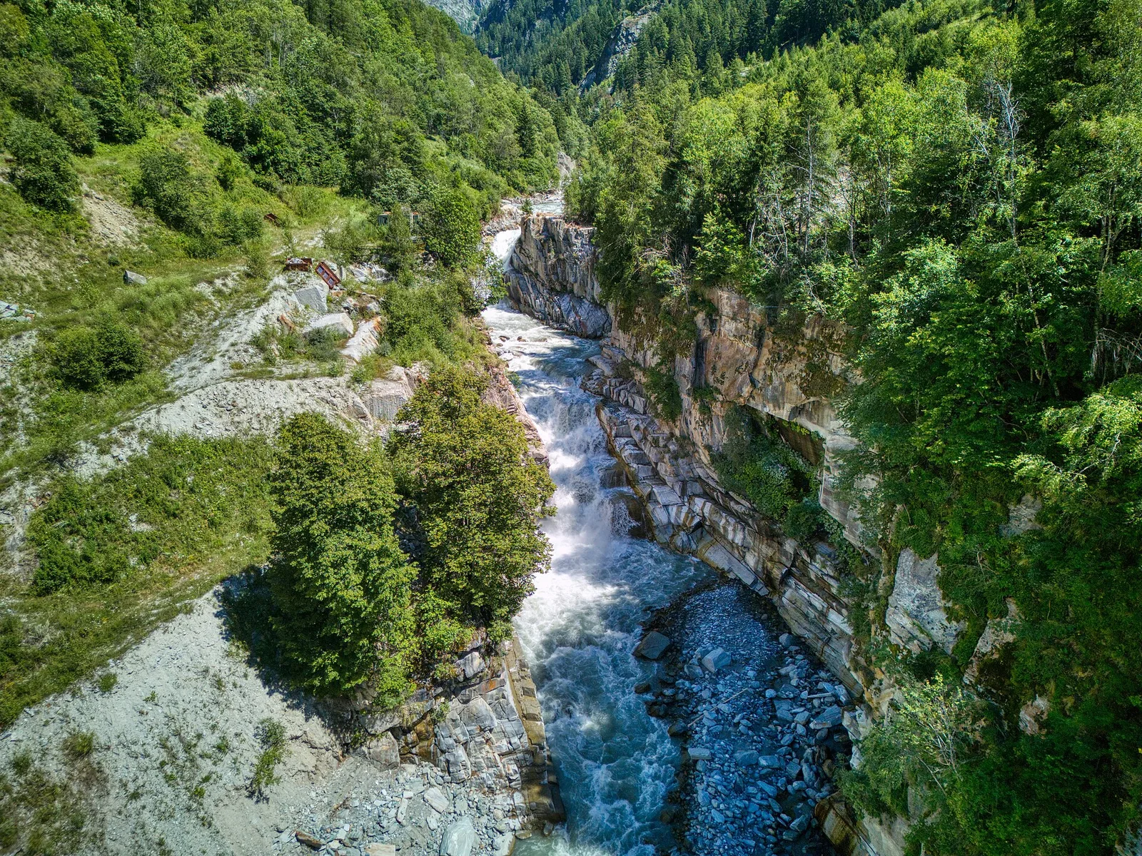
Trail 08_S18 climbs through the Cogne Valley in the municipality of Aymavilles, from La Nouva at 1,300 m through the Alpeggi Nomenon to the Bivacco Gontier at 2,302 m: 6.7 km and 1,020 m of ascent, rated E (CAI scale). The route moves through two distinct landscapes: forested lower slopes giving way to mid-mountain pastures and finally the open high terrain near the bivouac. The registry recommends mid-June to mid-September. The Cogne Valley sits within the Gran Paradiso National Park.
Estacionamento
Galeria de fotos
Photos are published immediately. JPG/PNG/WebP, max 6 MB.
Fauna para observar
AEditado e verificado por Andrea Rama
Fonte dos dados: Catasto Sentieri Regione Autonoma VdA · Open data — DGR 899/2014
Última verificação:
Val di Cogne
Trilhos relacionados
Mesmo vale ou percursos semelhantes — mais caminhadas para descobrir.

Val di Cogne
Alpe Bardoney (incrocio sentieri 12-13G)- Col de l'Arolla
5.3 km · +684 m · EE — from Alpe Bardoney (incrocio sentieri 12-13G) to Col de l'Arolla (Lys Valley).

Val di Cogne
Antiche miniere di ferro di Colonna
3.8 km · +852 m · E — from Moline to Miniere di Colonna (Lys Valley).

Val di Cogne
Arpisson - Col Chasèche
2.3 km · +498 m · E — from Arpisson to Col Chasèche (Lys Valley).

Val di Cogne
Arrivo impianto risalita Chamolé- Tête Noire
1.4 km · +497 m · E — from Arrivo impianto risalita Chamolé to Tête Noire (Lys Valley).