Vedun - Jovençan
6 km
+342 m
−0 m
2.5 h
Nível físico
Mapa e percurso
Traço GPX — verifique no terreno antes de caminhar
Descrição
Pontos-chave
Partida
Vedun · 1519 m
Chegada
Jovençan · 1868 m
Trilho
S4
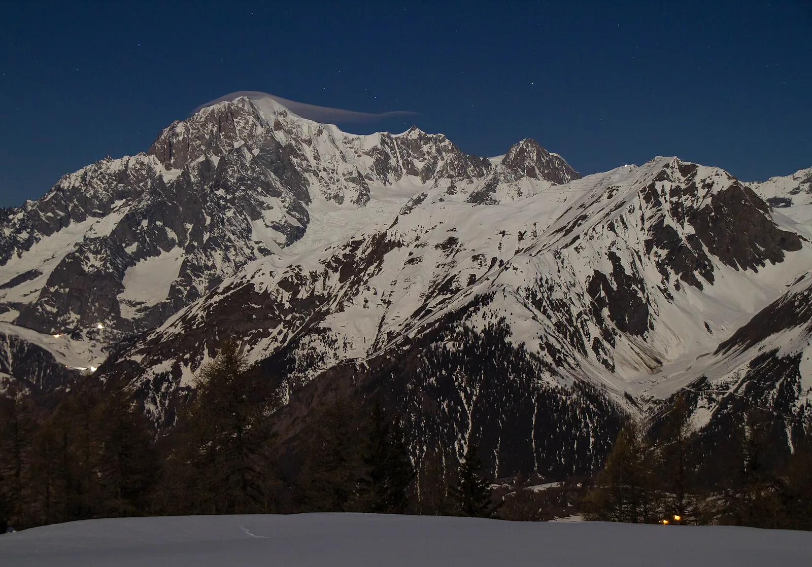
The traverse from Vedun to Jovençan crosses the mid-elevation belt of the Valdigne in the municipality of La Salle, between 1519 and 1868 metres. The 6 km route with 342 metres of ascent develops over open terrain, with the slope facing the Aosta plain and the Mont Blanc massif rising to the north. The environment is that of the Valdigne's historic summer pastures: mid-altitude grasslands, grassy clearings, patches of conifer forest providing shade in the warmer hours. Jovençan at 1868 metres is a departure point for further routes toward the Col de Vertosan and higher terrain. Recommended June to September.
Estacionamento
Galeria de fotos
Photos are published immediately. JPG/PNG/WebP, max 6 MB.
Flora do trilho
Fauna para observar
AEditado e verificado por Andrea Rama
Fonte dos dados: Catasto Sentieri Regione Autonoma VdA · Open data — DGR 899/2014
Última verificação:
Valle centrale
Trilhos relacionados
Mesmo vale ou percursos semelhantes — mais caminhadas para descobrir.

Valle centrale
Anello del Verrand
2.6 km · +233 m · E — from Château Verrand to Château Verrand (Rhêmes Valley).

Valle centrale
Area giochi Croux - Parleyaz
4.1 km · +476 m · E — from Area giochi Croux to Parleyaz (Central Valley).

Valle centrale
Arlier - Cloutraz (Pontey)
From Arlier (603m) to Cloutraz (1067m) on the Châtillon hillside: 3.5 km E through vineyards, woodland and views over the Dora Baltea.

Valle centrale
Arpilles - Champromenty
2.1 km · +333 m · E — from Arpilles to Champromenty (Lys Valley).