High Route 2 — Stage 1: Courmayeur → Rifugio Elisabetta Soldini
Avisos
- Check weather and residual snow early season
- Book huts in peak season
 1 / 3
1 / 315 km
+1406 m
−340 m
6 h
Nível físico
~1698 kcal estimadas
Mapa e percurso
Traço GPX oficial — Região Vale de Aosta / lovevda.it
Descrição
Pontos-chave
Partida
Courmayeur · 1200 m
Chegada
Rifugio Elisabetta Soldini · 2156 m
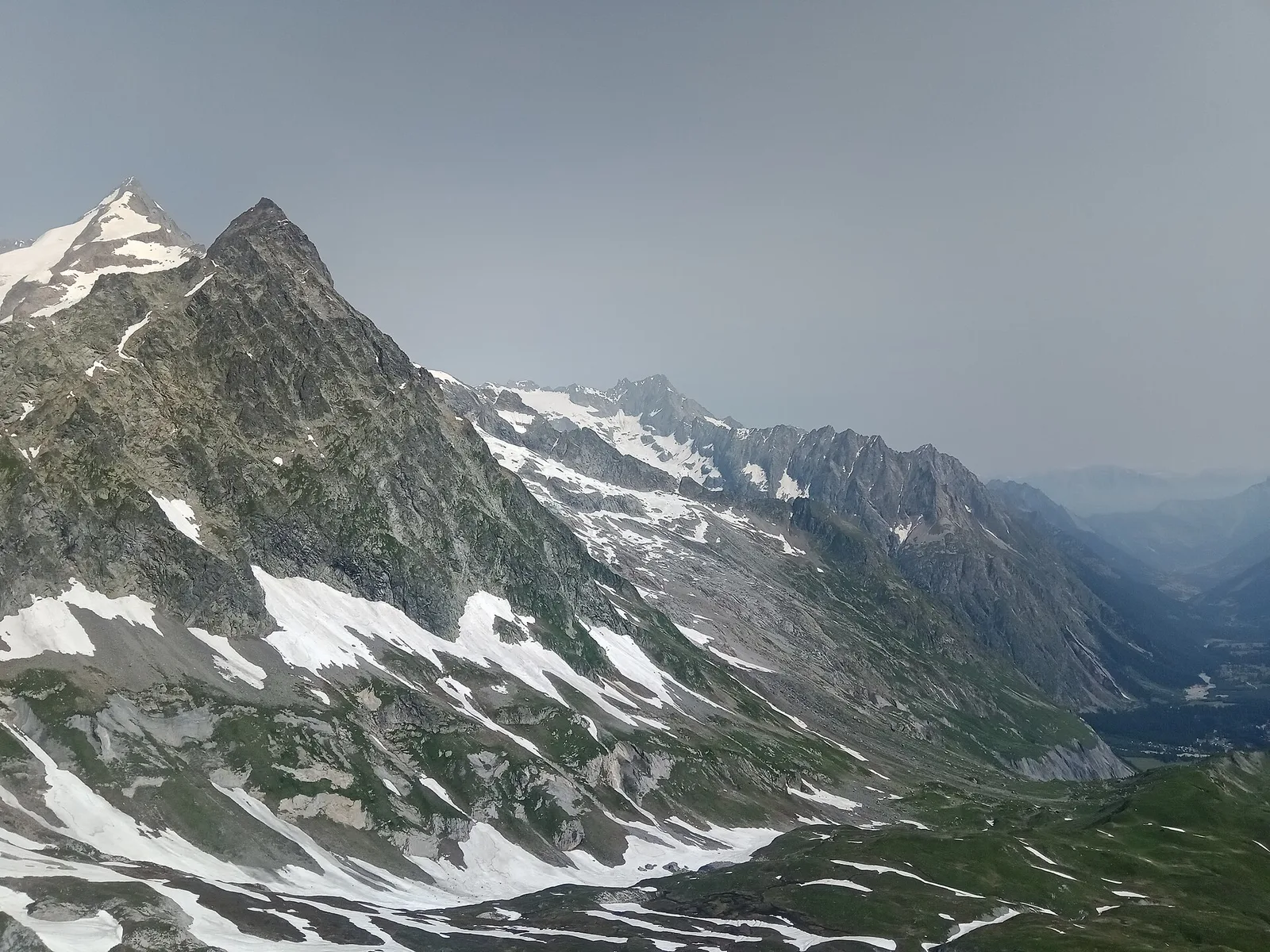
Start in Courmayeur, cross Dolonne and climb to Rifugio Maison Vieille before reaching Lac Combal plateau and Rifugio Elisabetta Soldini. Classic stage with Grandes Jorasses views.
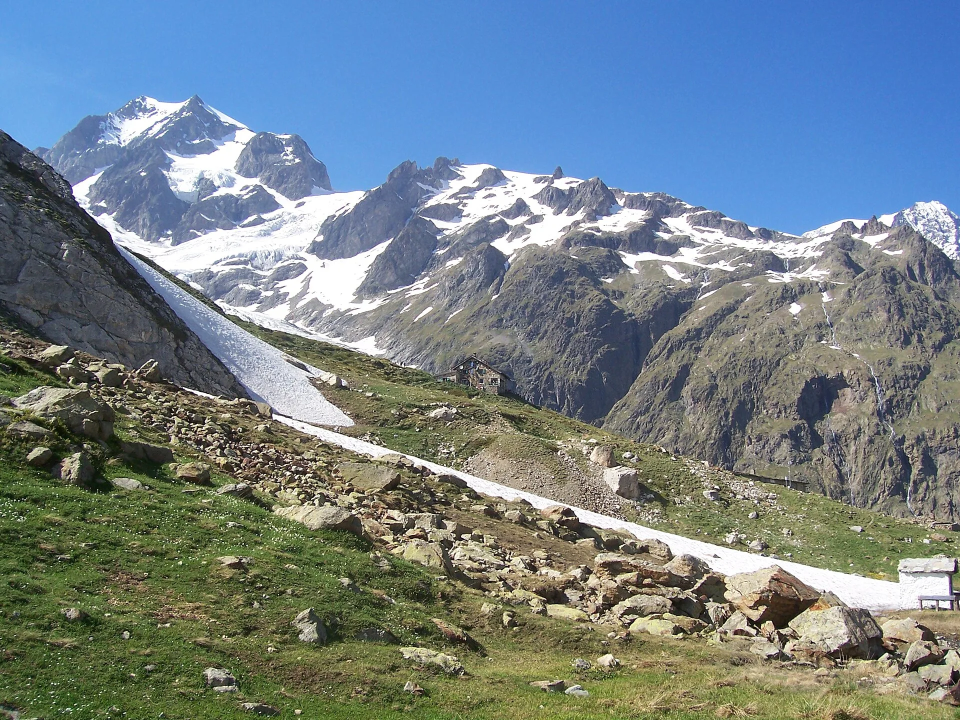
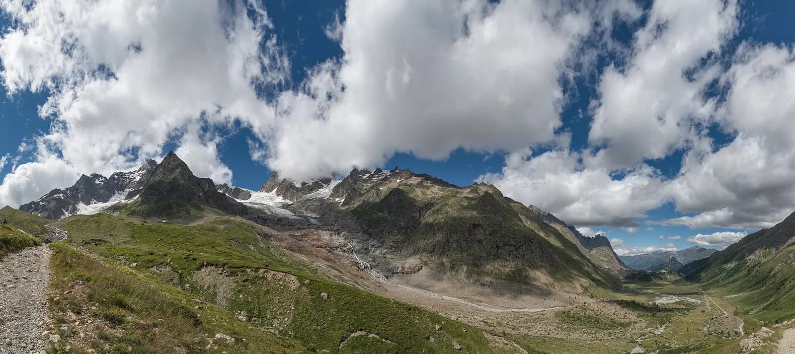
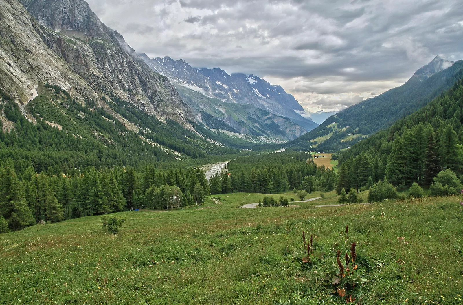
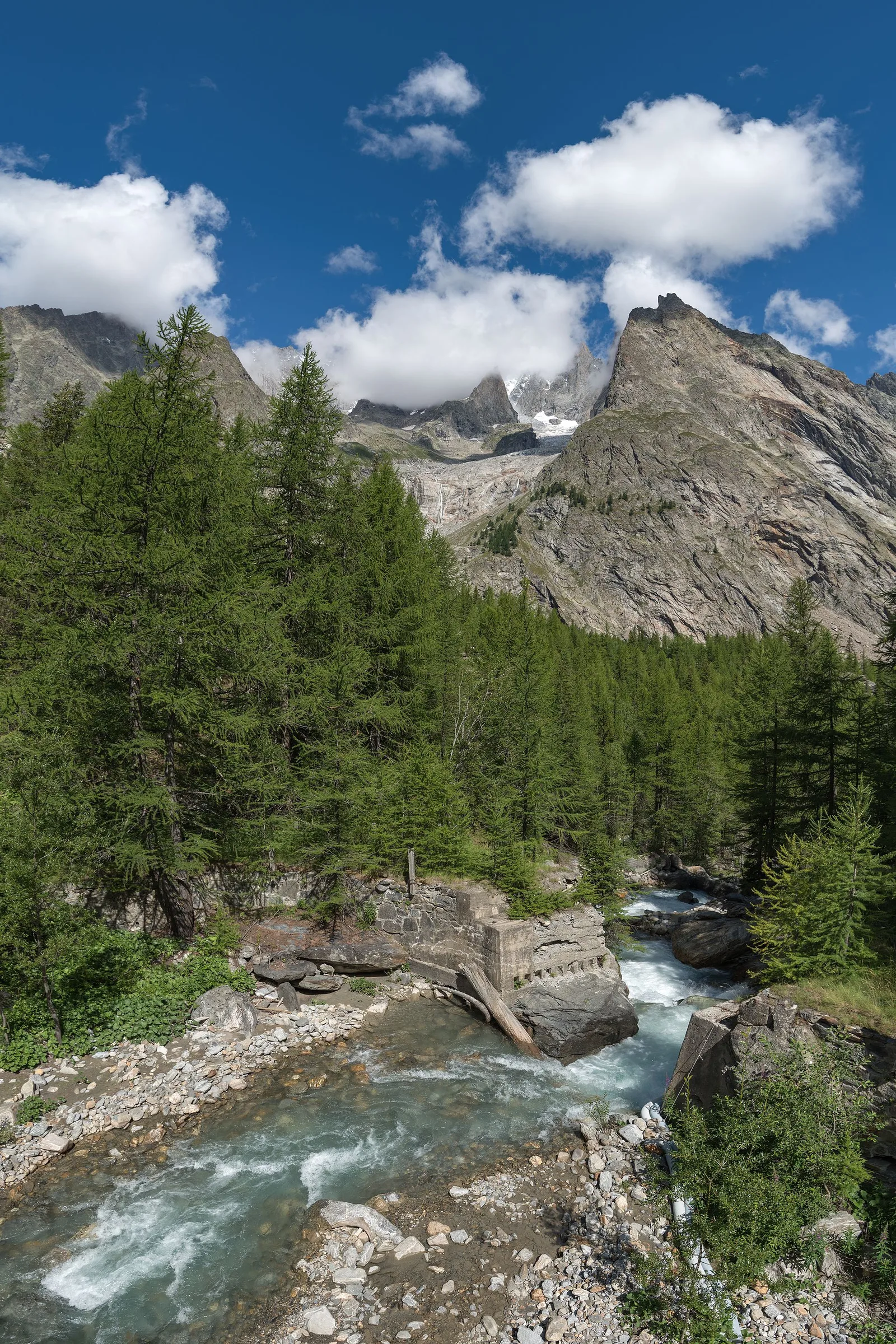
From Courmayeur you enter Val Veny beneath the moraines of the Miage glacier, Italy’s largest debris-covered glacier: its black mantle tells two centuries of glacial retreat. Past Lake Combal the valley opens into the Lex Blanche amphitheatre, dominated by the Pyramides Calcaires, up to Rifugio Elisabetta. Water at Visaille and at the hut; the summer Courmayeur–Visaille shuttle usefully shortens the day.
Pontos-chave
Dolonne
1210 m · 1 km from start
Rifugio Maison Vieille
1956 m · 8 km from start
Lago Combal
2100 m · 12 km from start
Ciências da Terra
Geologia e paisagem
Southern flank of the Mont Blanc massif: Austroalpine basement gneiss and micaschists, Würmian moraines and proglacial deposits in Val Veny. The Brenva Glacier still shapes the valley floor morphology.
História e cultura
Val Veny was a route of pilgrims and smugglers towards the Col de la Seigne; the Notre-Dame de Guérison chapel above the Brenva glacier has been a votive destination since the 18th century.
Pontos de água
Huts and bars in Courmayeur/Dolonne. Springs at Lac Combal; refill at Rifugio Elisabetta.
Como chegar
VITA buses and connections from Aosta; check seasonal timetables at vita.it.
Estacionamento
Parcheggi comunali nei paesi di valle; verificare limitazioni in alta stagione.
Cumes próximos
Refúgios e abrigos
Galeria de fotos
Photos are published immediately. JPG/PNG/WebP, max 6 MB.
Flora do trilho
Etapas adjacentes
AEditado e verificado por Andrea Rama
Fonte dos dados: Catasto Sentieri Regione Autonoma VdA — Alta Via n.2 · Open data — DGR 899/2014
Última verificação:
Val Veny
Trilhos relacionados
Mesmo vale ou percursos semelhantes — mais caminhadas para descobrir.
Val Veny
Tour du Mont Blanc — Stage 13: Rifugio Elisabetta Soldini → Courmayeur
Lac Combal, the Mont Favre balcony and closing the loop in Courmayeur.
Val Veny
Area pic-nic Plan Veny - Lac du Breuillat
3.6 km · +420 m · E — from Area pic-nic Plan Veny to Lac du Breuillat (Great St Bernard Valley).
Val Veny
Area pic-nic Plan Veny - Rifugio Monzino
3.4 km · +997 m · EEA — from Area pic-nic Plan Veny to Rifugio Monzino (Great St Bernard Valley).
Val Veny
Balme - Col d'Arp
8.2 km · +1265 m · E — from Balme to Col d'Arp (Rhêmes Valley).