High Route 2 — Stage 2: Rifugio Elisabetta Soldini → La Thuile
Avisos
- Check weather and residual snow early season
- Book huts in peak season
 1 / 2
1 / 212 km
+456 m
−1169 m
5 h
Nível físico
~1071 kcal estimadas
Mapa e percurso
Traço GPX oficial — Região Vale de Aosta / lovevda.it
Descrição
Pontos-chave
Partida
Rifugio Elisabetta Soldini · 2156 m
Chegada
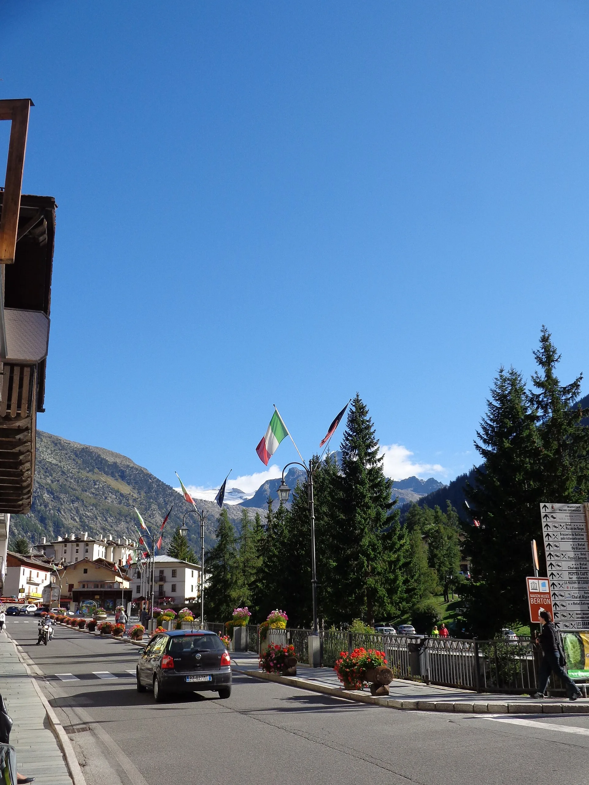
La Thuile · 1440 m
From Elisabetta, descend toward Col des Chavannes (2603 m) and cross Porassey and Orgères before reaching La Thuile valley floor.
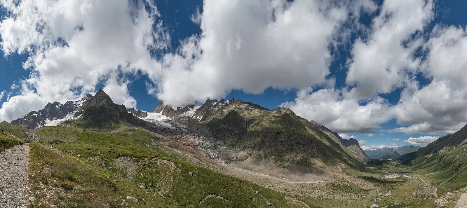
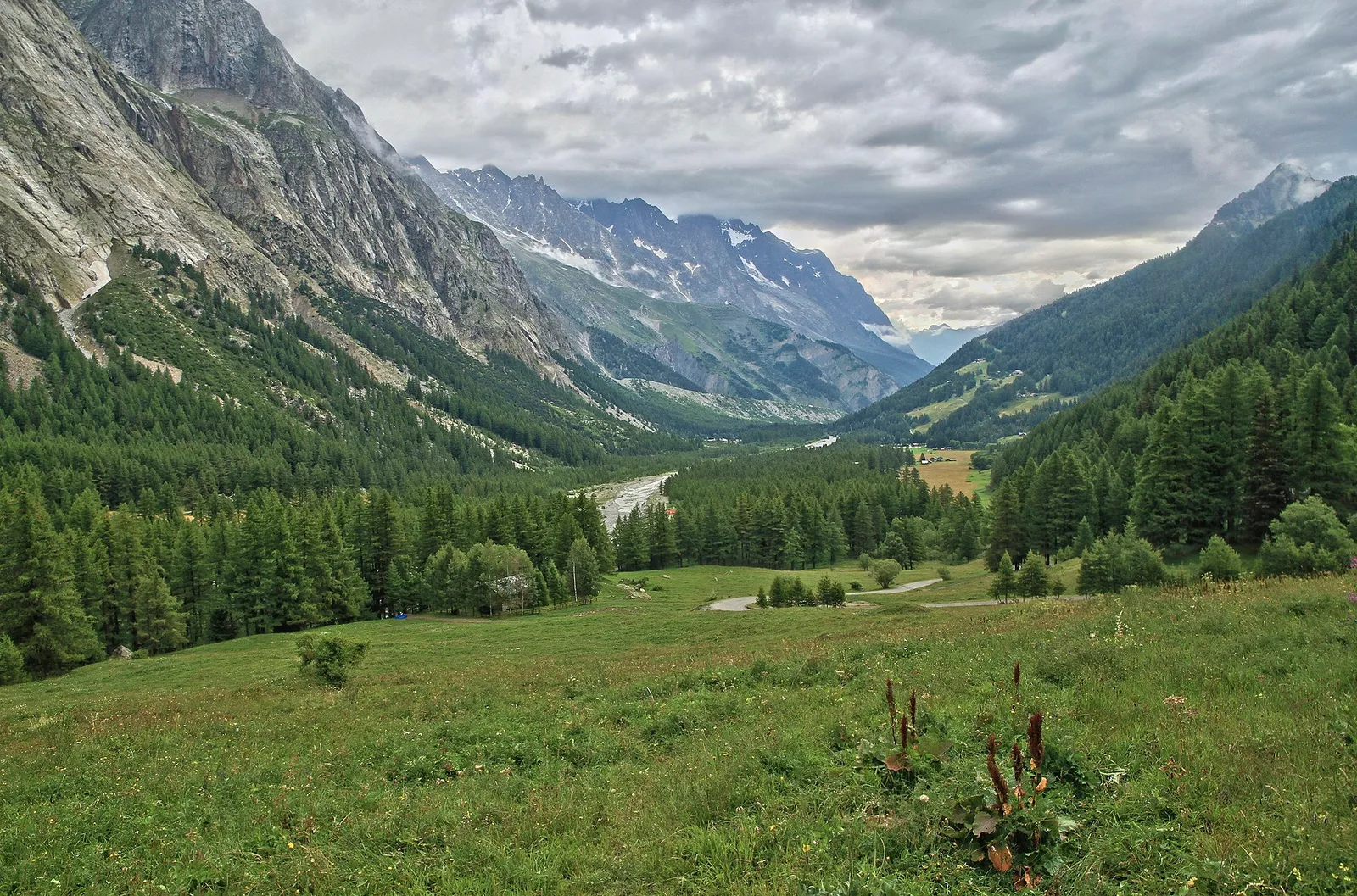
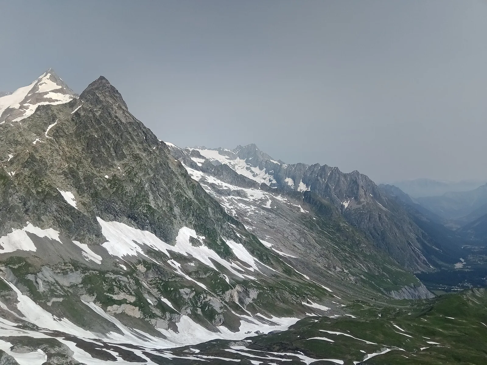
A stage of crests and scenic cols: from the Col Chavannes — the high point, looking from Mont Blanc to the Rutor — you walk down the endless, gentle Chavannes valley among ruined alps and marmots, to the Little St Bernard pass and the descent to La Thuile. No support point for many hours: stock up on water at the hut.
Pontos-chave
Col des Chavannes
2603 m · 4 km from start
Marked AV2 alpine pass
Ciências da Terra
Geologia e paisagem
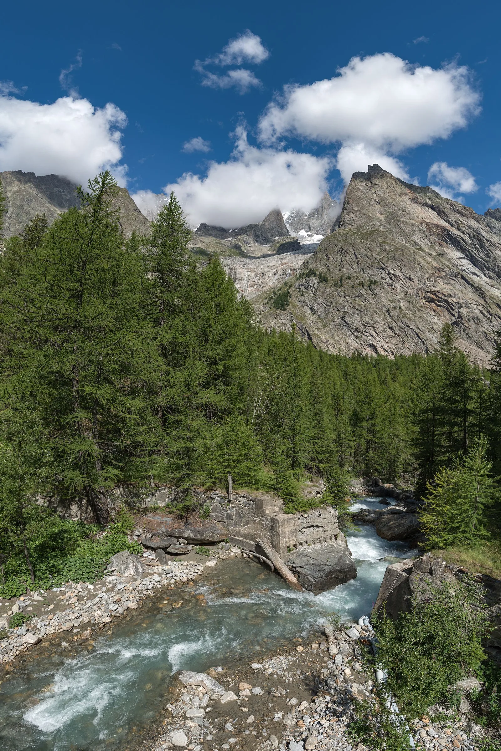
Southern flank of the Mont Blanc massif: Austroalpine basement gneiss and micaschists, Würmian moraines and proglacial deposits in Val Veny. The Brenva Glacier still shapes the valley floor morphology.
História e cultura
At the Little St Bernard an Iron Age stone circle, Roman columns of the Gallic road and the medieval hospice coexist: three thousand years of crossings within a few hundred metres.
Pontos de água
Huts and bars in Courmayeur/Dolonne. Springs at Lac Combal; refill at Rifugio Elisabetta.
Como chegar
VITA buses and connections from Aosta; check seasonal timetables at vita.it.
Estacionamento
Parcheggi comunali nei paesi di valle; verificare limitazioni in alta stagione.
Cumes próximos
Refúgios e abrigos
Galeria de fotos
Photos are published immediately. JPG/PNG/WebP, max 6 MB.
Flora do trilho
Etapas adjacentes
AEditado e verificado por Andrea Rama
Fonte dos dados: Catasto Sentieri Regione Autonoma VdA — Alta Via n.2 · Open data — DGR 899/2014
Última verificação:
Val Veny
Trilhos relacionados
Mesmo vale ou percursos semelhantes — mais caminhadas para descobrir.
Val Veny
Tour du Mont Blanc — Stage 13: Rifugio Elisabetta Soldini → Courmayeur
Lac Combal, the Mont Favre balcony and closing the loop in Courmayeur.
Val Veny
Area pic-nic Plan Veny - Lac du Breuillat
3.6 km · +420 m · E — from Area pic-nic Plan Veny to Lac du Breuillat (Great St Bernard Valley).
Val Veny
Area pic-nic Plan Veny - Rifugio Monzino
3.4 km · +997 m · EEA — from Area pic-nic Plan Veny to Rifugio Monzino (Great St Bernard Valley).
Val Veny
Balme - Col d'Arp
8.2 km · +1265 m · E — from Balme to Col d'Arp (Rhêmes Valley).