Pramotton - Tour Pramotton
1.3 km
+234 m
−0 m
1 h
Nível físico
Mapa e percurso
Traço GPX — verifique no terreno antes de caminhar
Descrição
Pontos-chave
Partida
Pramotton · 319 m
Chegada
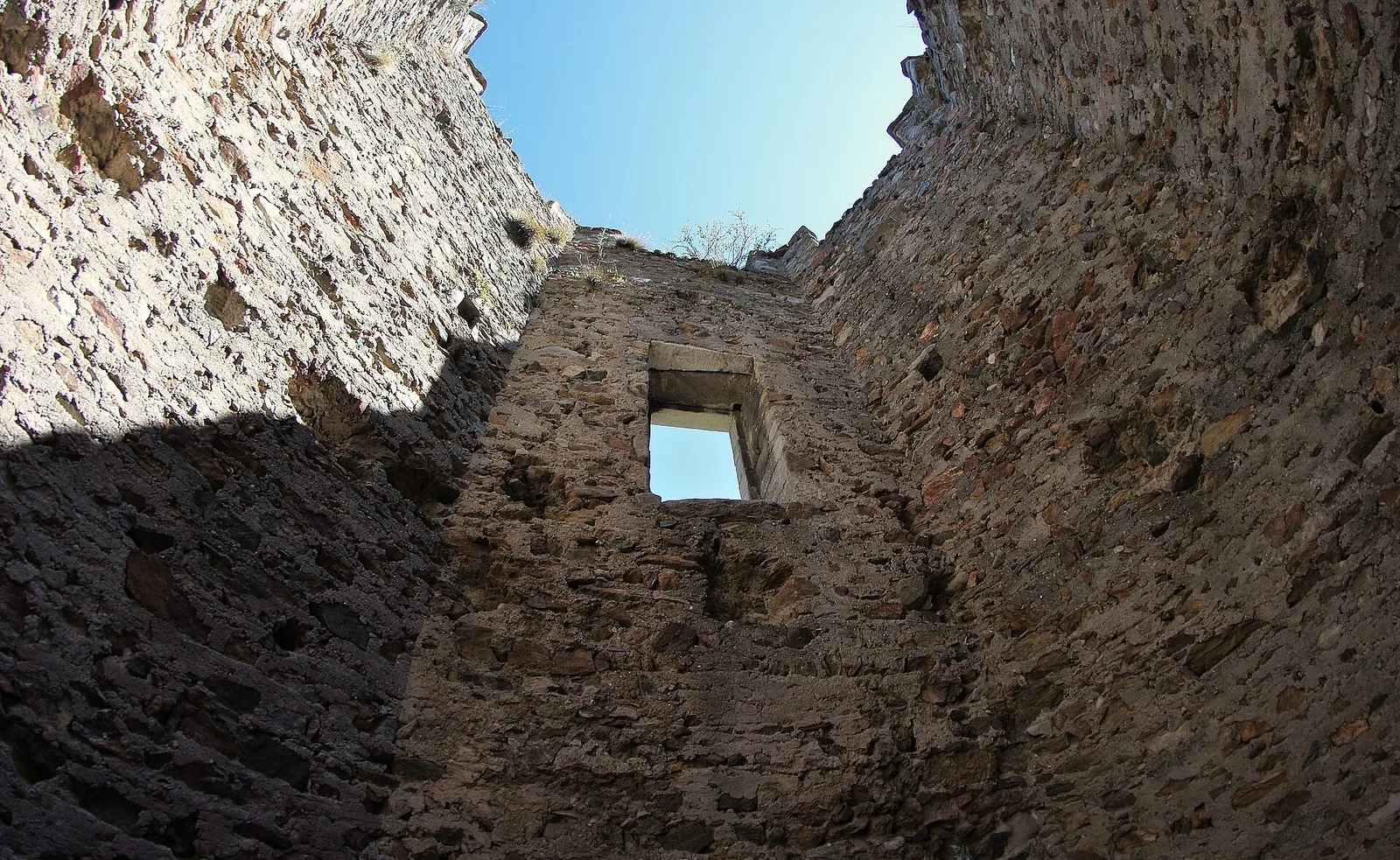
Tour Pramotton · 553 m
Trilho
S1
Pramotton - Tour Pramotton is an official trail from the Aosta Valley trail registry (code 23_S1). The route lies in the municipality of Emarèse, in the Valtournenche. From Pramotton (319 m) to Tour Pramotton (553 m): 1.3 km with +234 m of elevation change, difficulty E (CAI scale). Minimum elevation 319 m, maximum 553 m. Recommended season per registry: maggio, giugno, luglio, agosto, settembre, ottobre (months 6, 7, 8, 9). Waymarking: 1 segnavia recorded in the registry. GPX track and elevation data from Regione Autonoma Valle d'Aosta (open data DGR 899/2014).
Estacionamento
Galeria de fotos
Photos are published immediately. JPG/PNG/WebP, max 6 MB.
AEditado e verificado por Andrea Rama
Fonte dos dados: Catasto Sentieri Regione Autonoma VdA · Open data — DGR 899/2014
Última verificação:
Bassa Valle
Trilhos relacionados
Mesmo vale ou percursos semelhantes — mais caminhadas para descobrir.

Bassa Valle
Arsines - Col Fenetre
A short woodland climb from Arsines, above Arnad, to Col Fenêtre: a scenic pass of the lower Aosta Valley.

Bassa Valle
Bard - Tête de Cou
In the commune of Cogne, Gran Paradiso National Park: a climb toward a high-altitude objective in an environment of exceptional natural quality.

Bassa Valle
Barme - Carogne
1.6 km · +397 m · E — from Barme to Carogne (Valtournenche).

Bassa Valle
Barme - Omens
1.2 km · +284 m · E — from Barme to Omens (Valtournenche).