Comboé (Comboué) - Becca di Nona
4.8 km
+1024 m
−0 m
4 h
Nível físico
Mapa e percurso
Traço GPX — verifique no terreno antes de caminhar
Descrição
Pontos-chave
Partida
Comboé (Comboué) · 2118 m
Chegada
Becca di Nona · 3144 m
Trilho
S10
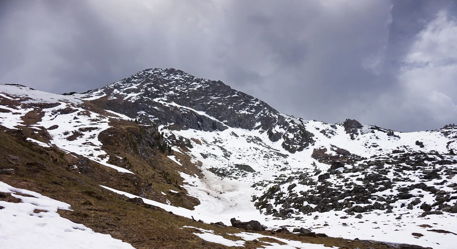
Becca di Nona (3144 m) is the mountain that directly overlooks Aosta: it is seen from the city, and from its summit the whole basin of the regional capital opens up, with the crown of four-thousanders behind. This route (E) starts from the Comboé basin (2118 m), an old alpine pasture set among the slopes, and climbs more than a thousand metres to the top, through high meadows, scree and the steeper final sections before the summit. It is a demanding ascent despite the hiking grade: it calls for fitness, a sure foot and a settled day. The reward is one of the most complete panoramas over the Aosta Valley, from Mont Blanc to the Matterhorn and Gran Paradiso.
Estacionamento
Galeria de fotos
Photos are published immediately. JPG/PNG/WebP, max 6 MB.
Flora do trilho
Fauna para observar
AEditado e verificado por Andrea Rama
Fonte dos dados: Catasto Sentieri Regione Autonoma VdA · Open data — DGR 899/2014
Última verificação:
Valle centrale
Trilhos relacionados
Mesmo vale ou percursos semelhantes — mais caminhadas para descobrir.

Valle centrale
Anello del Verrand
2.6 km · +233 m · E — from Château Verrand to Château Verrand (Rhêmes Valley).

Valle centrale
Area giochi Croux - Parleyaz
4.1 km · +476 m · E — from Area giochi Croux to Parleyaz (Central Valley).

Valle centrale
Arlier - Cloutraz (Pontey)
From Arlier (603m) to Cloutraz (1067m) on the Châtillon hillside: 3.5 km E through vineyards, woodland and views over the Dora Baltea.

Valle centrale
Arpilles - Champromenty
2.1 km · +333 m · E — from Arpilles to Champromenty (Lys Valley).