Vieyes - Alpeggi Nomenon - Bivacco Gontier
4.5 km
+1167 m
−0 m
4 h
Nível físico
Mapa e percurso
Traço GPX — verifique no terreno antes de caminhar
Descrição
Pontos-chave
Partida
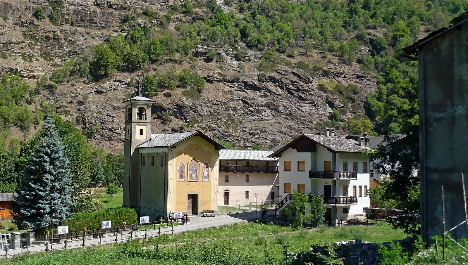
Vieyes · 1150 m
Chegada
Bivacco Gontier · 2302 m
Trilho
S19
Starting from Vieyes (1150 m) in the Val di Cogne, this short but steep route climbs 1167 m in just 4.5 km — one of the sharpest gradients in the valley. The path passes through the Nomenon alpine pastures before reaching the Bivacco Gontier at 2302 m. Wide views over the valley open progressively as the forest gives way to open meadows and high pasture. The near-continuous steepness demands strong legs and a steady rhythm.
Estacionamento
Galeria de fotos
Photos are published immediately. JPG/PNG/WebP, max 6 MB.
Flora do trilho
Fauna para observar
AEditado e verificado por Andrea Rama
Fonte dos dados: Catasto Sentieri Regione Autonoma VdA · Open data — DGR 899/2014
Última verificação:
Val di Cogne
Trilhos relacionados
Mesmo vale ou percursos semelhantes — mais caminhadas para descobrir.

Val di Cogne
Alpe Bardoney (incrocio sentieri 12-13G)- Col de l'Arolla
5.3 km · +684 m · EE — from Alpe Bardoney (incrocio sentieri 12-13G) to Col de l'Arolla (Lys Valley).

Val di Cogne
Antiche miniere di ferro di Colonna
3.8 km · +852 m · E — from Moline to Miniere di Colonna (Lys Valley).

Val di Cogne
Arpisson - Col Chasèche
2.3 km · +498 m · E — from Arpisson to Col Chasèche (Lys Valley).

Val di Cogne
Arrivo impianto risalita Chamolé- Tête Noire
1.4 km · +497 m · E — from Arrivo impianto risalita Chamolé to Tête Noire (Lys Valley).