Avise - Le Pré - Cerellaz
3.7 km
+470 m
−0 m
2 h
Nível físico
Mapa e percurso
Traço GPX — verifique no terreno antes de caminhar
Descrição
Pontos-chave
Partida
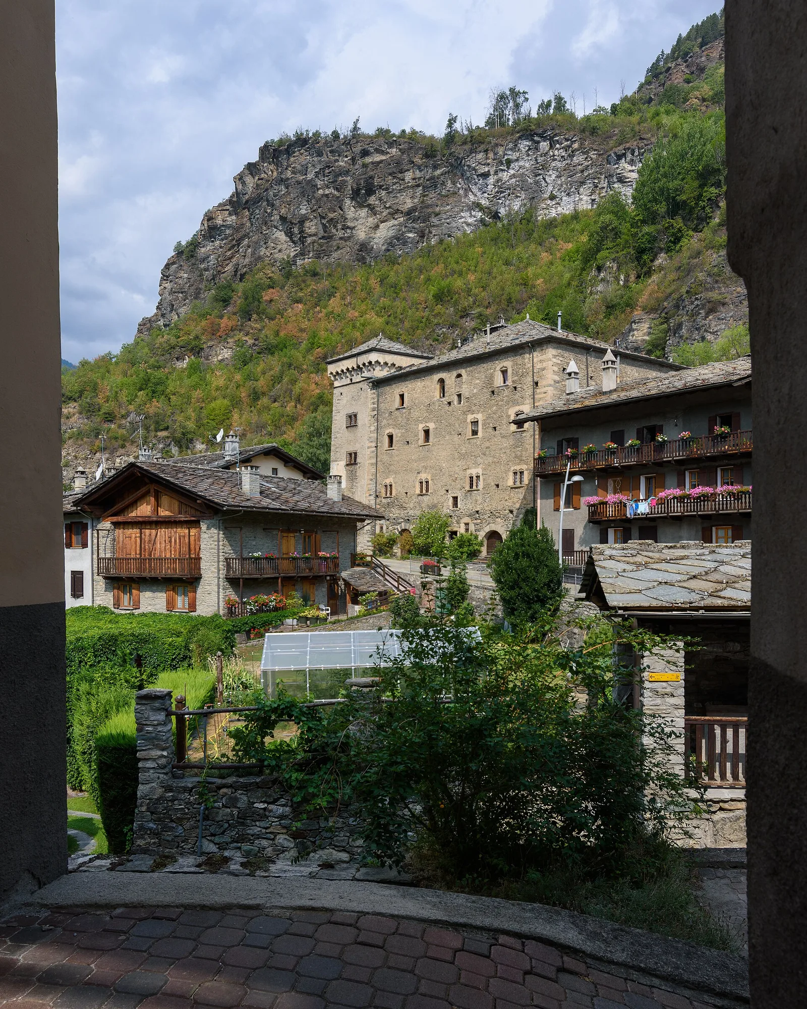
Avise · 782 m
Chegada
Cerellaz · 1250 m
Trilho
S17
Official trail from the Aosta Valley Trail Cadastre in the municipality of Avise, Valle centrale. It runs from Avise (782 m) to Cerellaz (1250 m), covering 3.7 km with +470 m of ascent. Difficulty Hiking (E) on the CAI scale, with an estimated walking time of about 2 h. Recommended period: April, May, June, July, August, September and October.
Estacionamento
Galeria de fotos
Photos are published immediately. JPG/PNG/WebP, max 6 MB.
AEditado e verificado por Andrea Rama
Fonte dos dados: Catasto Sentieri Regione Autonoma VdA · Open data — DGR 899/2014
Última verificação:
Valle centrale
Trilhos relacionados
Mesmo vale ou percursos semelhantes — mais caminhadas para descobrir.

Valle centrale
Anello del Verrand
2.6 km · +233 m · E — from Château Verrand to Château Verrand (Rhêmes Valley).

Valle centrale
Area giochi Croux - Parleyaz
4.1 km · +476 m · E — from Area giochi Croux to Parleyaz (Central Valley).

Valle centrale
Arlier - Cloutraz (Pontey)
From Arlier (603m) to Cloutraz (1067m) on the Châtillon hillside: 3.5 km E through vineyards, woodland and views over the Dora Baltea.

Valle centrale
Arpilles - Champromenty
2.1 km · +333 m · E — from Arpilles to Champromenty (Lys Valley).