Grand Moulin -Navillod - Mognod (Torgnon)
3.1 km
+504 m
−0 m
2 h
Nível físico
Mapa e percurso
Traço GPX — verifique no terreno antes de caminhar
Descrição
Pontos-chave
Partida
Grand Moulin · 1022 m
Chegada
Mognod · 1522 m
Trilho
S6
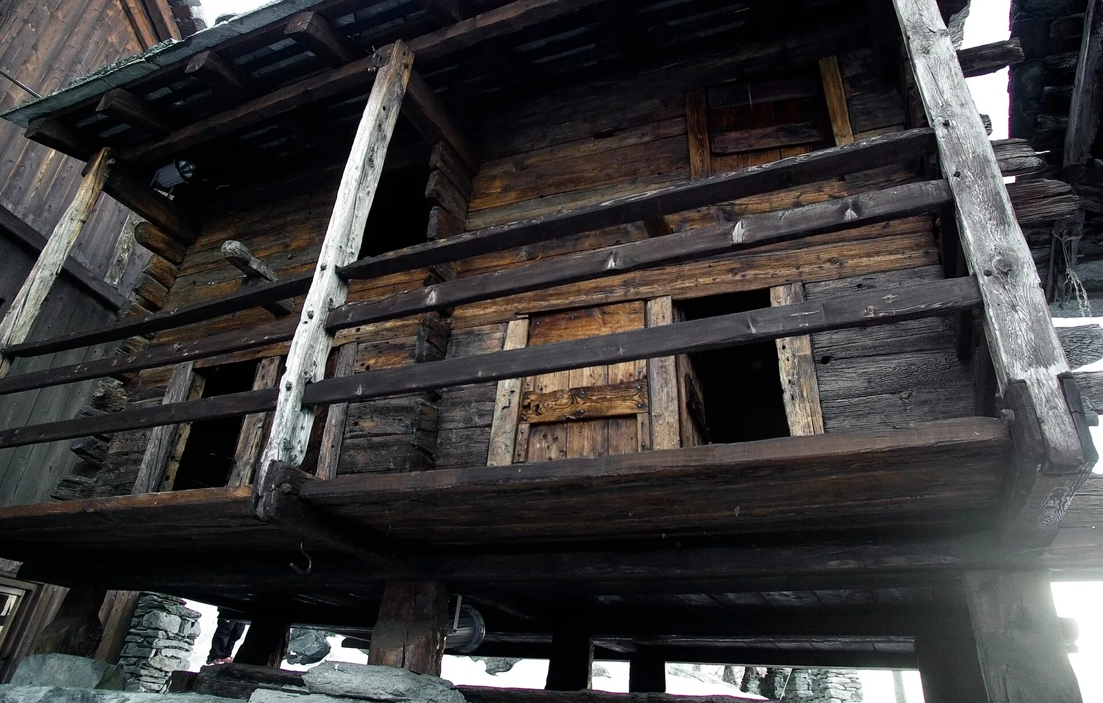
Starting at Grand Moulin (1022 m) in lower Valtournenche, this 3.1 km trail climbs 504 metres to the pastoral hamlet of Mognod (1522 m). The path winds through mixed larch and fir forest, passes old stone farm buildings and opens onto grassy terraces that have been summer grazing land for generations. A quiet, traditional route connecting the Valtournenche and Valpelline valleys. Rated E, suitable for reasonably fit walkers.
Estacionamento
Galeria de fotos
Photos are published immediately. JPG/PNG/WebP, max 6 MB.
Flora do trilho
Fauna para observar
AEditado e verificado por Andrea Rama
Fonte dos dados: Catasto Sentieri Regione Autonoma VdA · Open data — DGR 899/2014
Última verificação:
Valtournenche
Trilhos relacionados
Mesmo vale ou percursos semelhantes — mais caminhadas para descobrir.

Valtournenche
Anello Area sportiva-Fiernaz-Area sportiva
2.9 km · +28 m · T — from Area sportiva to Area sportiva (Valtournenche).

Valtournenche
Anello dei Villaggi di Antey ( Ruvère, Liesse,Fontaney, Villettaz)
A loop through the sunlit hamlets of Antey and Torgnon: traditional Aosta Valley architecture, vineyards and mid-mountain forest, 5.2 km from Ruvère.

Valtournenche
Anello di Champlève
1.9 km · +140 m · E — from Champlève to Champlève (Central Valley).

Valtournenche
Area Pic Nic Champlong - Becca d'Aver e Cima Longhede
6.4 km · +913 m · E — from Area Pic Nic Champlong to Cima Longhede (Valsavarenche).