Tour du Rutor — Stage 6: La Rosière → La Thuile
Avisos
- Book overnight stops in peak season
17.4 km
+373 m
−863 m
6.5 h
Nível físico
Mapa e percurso
Traço GPX — verifique no terreno antes de caminhar
Descrição
Pontos-chave
Partida
La Rosière · 1850 m
Chegada
La Thuile · 1448 m
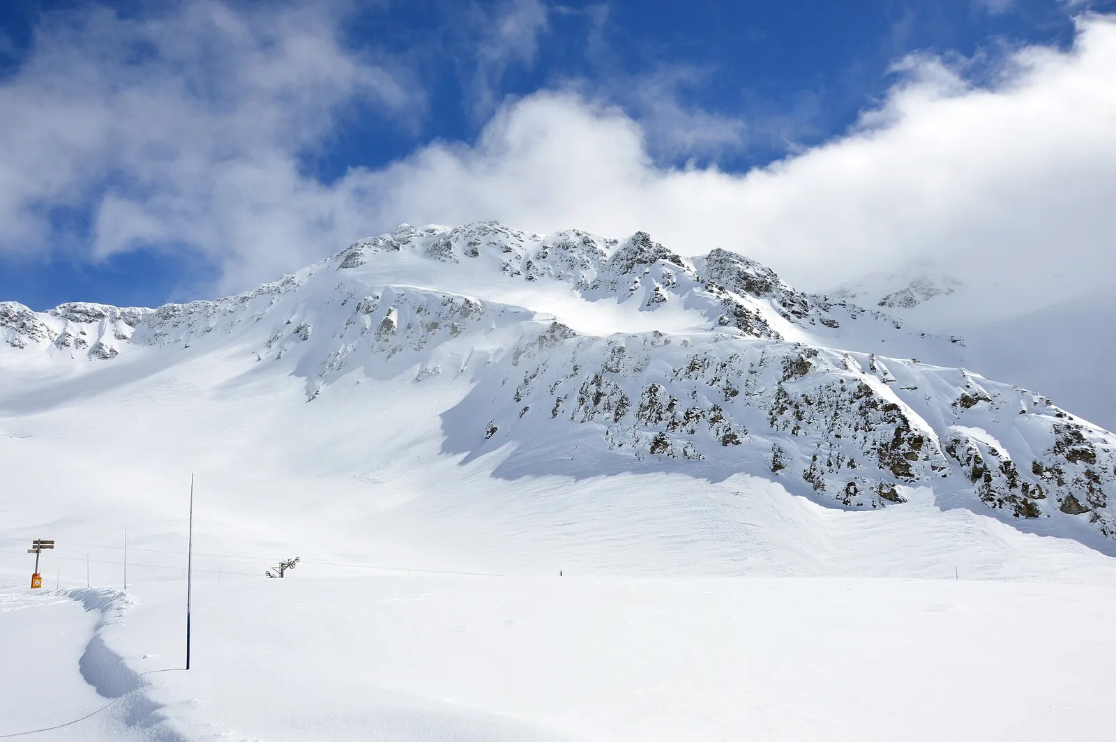
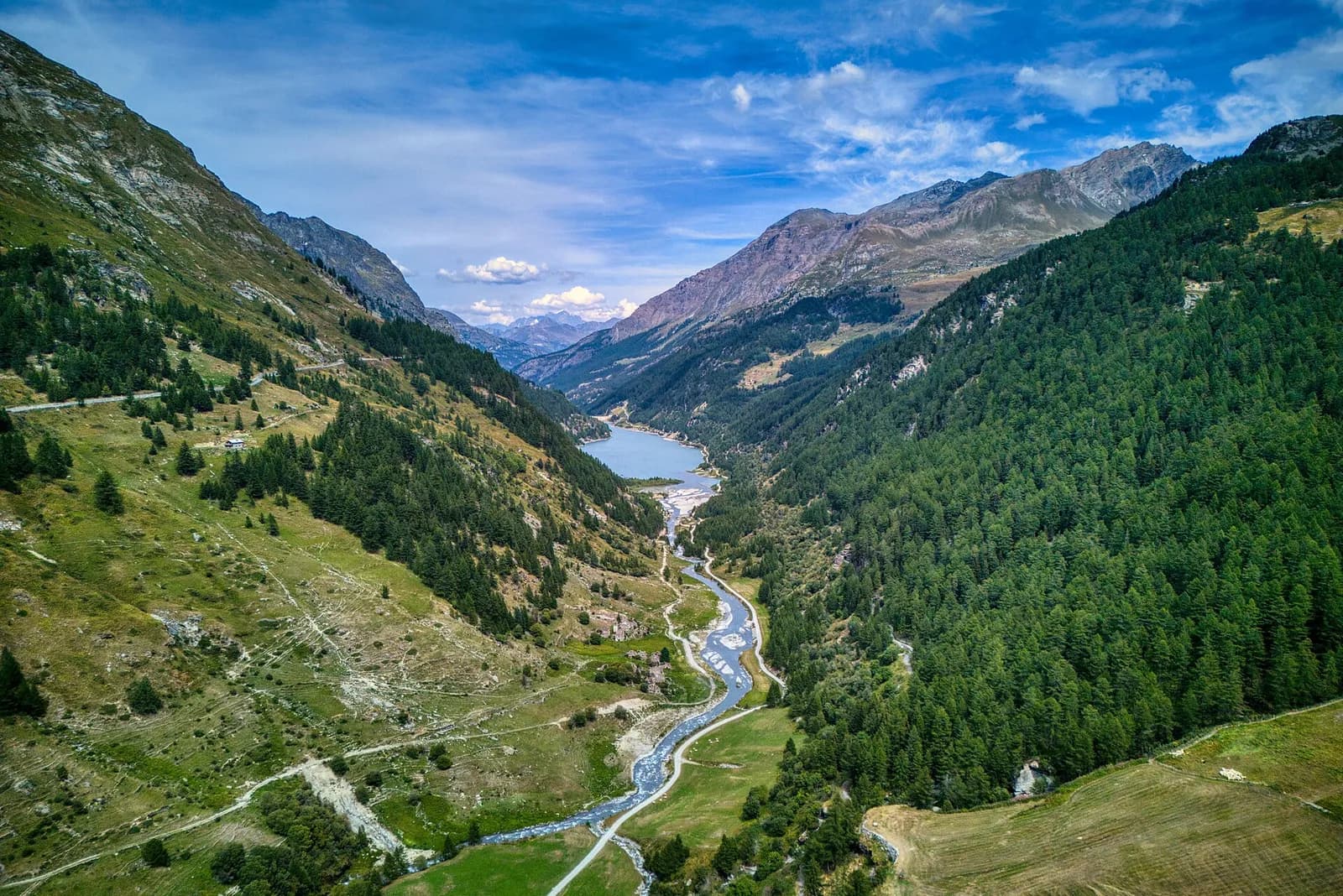
From La Rosière climb gently to the Little St Bernard pass (2,188 m), with its prehistoric stone circle, hospice and Chanousia botanical garden. Re-enter Italy along the great Verney lake and descend to La Thuile (1,441 m), where the Rutor loop closes.
The farewell crosses one of the most historic passes in the Alps: at the Little St Bernard, an Iron Age stone circle 72 metres across — bisected by the border — shares the col with Jupiter’s column, the medieval hospice and the Chanousia botanical garden, founded in 1897 by Abbot Chanoux with over a thousand alpine species. You re-enter Italy along Lake Verney, the region’s largest natural lake and an anglers’ favourite; then the old military road descends in wide bends to La Thuile, where the Rutor loop closes over a glass of Génépy.
Pontos-chave
Col du Petit Saint-Bernard
2188 m · 7.7 km from start
Ciências da Terra
Geologia e paisagem
The Rutor group belongs to the outer Penninic domain: micaschists, fine gneisses and Permo-Carboniferous quartzites of the Ruitor zone, with striking folds visible on the walls above the Deffeyes hut. The three lakes and roches moutonnées of the valley are the work of the Rutor glacier, fast retreating yet still the Aosta Valley’s third largest; at the Col du Mont the Versoyen calcschists crop out with relics of oceanic crust.
História e cultura
At the Little St Bernard a prehistoric stone circle, Jupiter’s column, the medieval hospice and the Chanousia botanical garden founded in 1897 by abbot Chanoux coexist: Alpine history condensed.
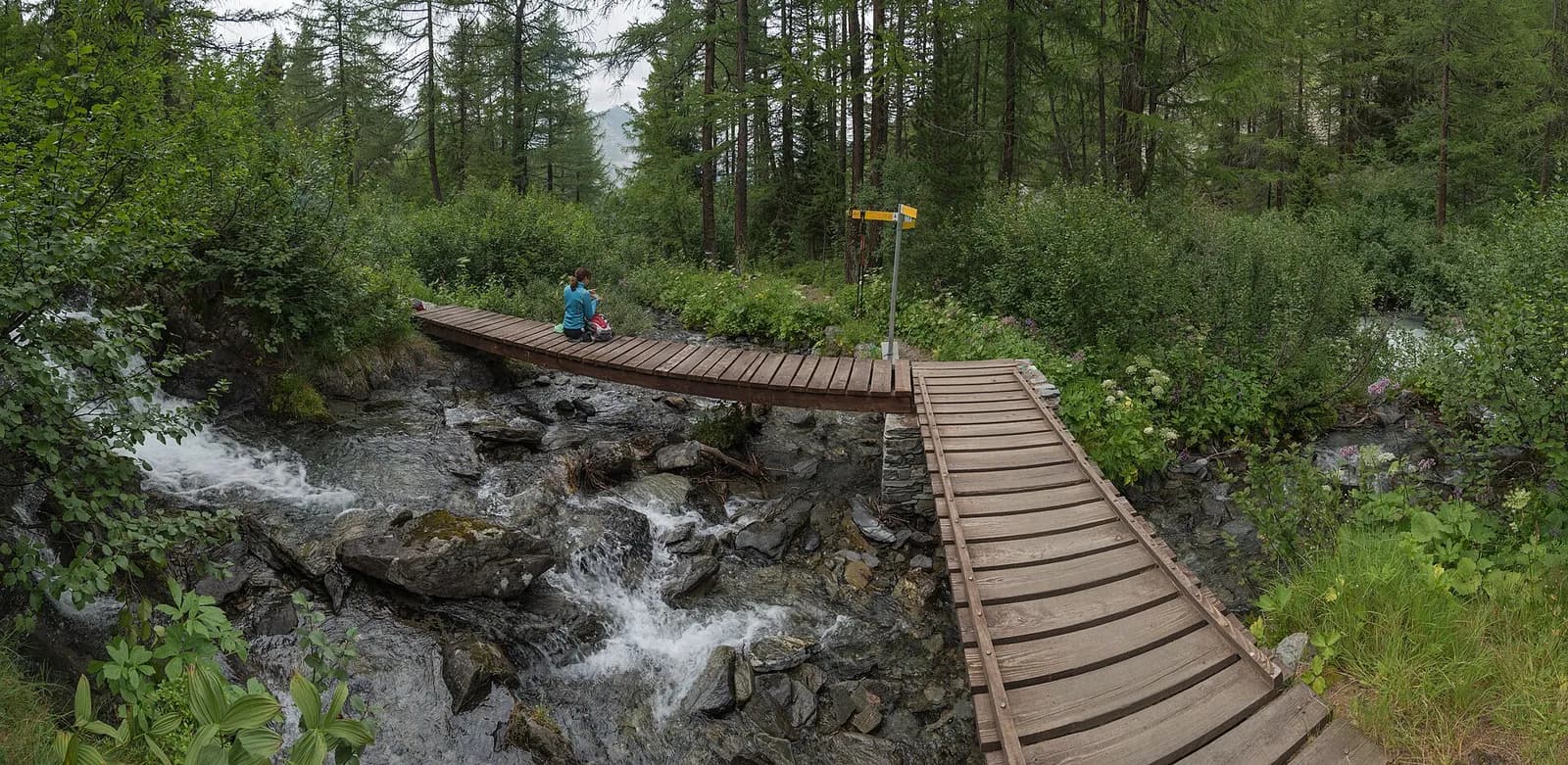
Pontos de água
Water at the stage's support points (La Rosière, La Thuile). On the high ground and at the passes springs are not guaranteed: fill bottles in the valley and at the huts.
Como chegar
Cross-border stage: on the foreign sides local public transport applies (PostAuto in Switzerland, line buses in France/Piedmont). Check seasonal timetables; in peak season several access links run by reservation only.
Estacionamento
Galeria de fotos
Photos are published immediately. JPG/PNG/WebP, max 6 MB.
Etapas adjacentes
AEditado e verificado por Andrea Rama
Fonte dos dados: Tour del Rutor — itinerari La Thuile / Valgrisenche / Haute-Tarentaise · Traccia calcolata su rete sentieri OpenStreetMap (ODbL); verificare sul terreno
Última verificação:
Haute-Tarentaise — La Thuile
Trilhos relacionados
Mesmo vale ou percursos semelhantes — mais caminhadas para descobrir.
Valdigne — La Thuile
Tour du Rutor — Stage 1: La Thuile → Rifugio Albert Deffeyes
The Rutor waterfalls and the climb to the Deffeyes hut.
La Thuile — Valgrisenche
Tour du Rutor — Stage 2: Rifugio Albert Deffeyes → Planaval
Passo Alto and Col de la Crosatie: the great Alta Via 2 traverse.
Valgrisenche
Tour du Rutor — Stage 3: Planaval → Valgrisenche
A short breather along the Dora di Valgrisenche.
Valgrisenche — Haute-Tarentaise (Francia)
Tour du Rutor — Stage 4: Valgrisenche → Sainte-Foy-Tarentaise
The Col du Mont, a historic smugglers’ pass into the Tarentaise.