Tour du Rutor — Stage 2: Rifugio Albert Deffeyes → Planaval
Avisos
- Snowfields possible on the passes until early July
- Check the weather: long high-altitude stages with few escape routes
- Exposed equipped sections: surefootedness and a head for heights required
- Book overnight stops in peak season
 1 / 2
1 / 215.5 km
+1111 m
−2163 m
10.5 h
Nível físico
Mapa e percurso
Traço GPX — verifique no terreno antes de caminhar
Descrição
Pontos-chave
Partida
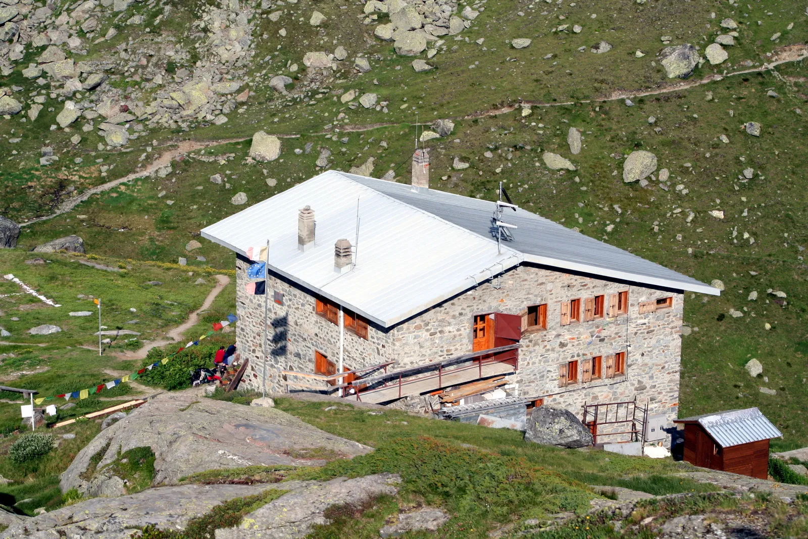
Rifugio Albert Deffeyes · 2487 m
Chegada
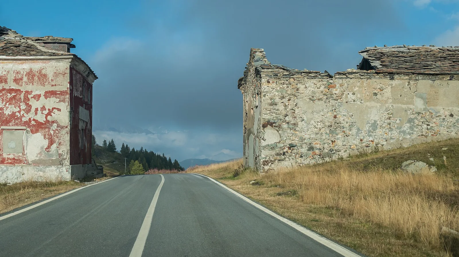
Planaval · 1554 m
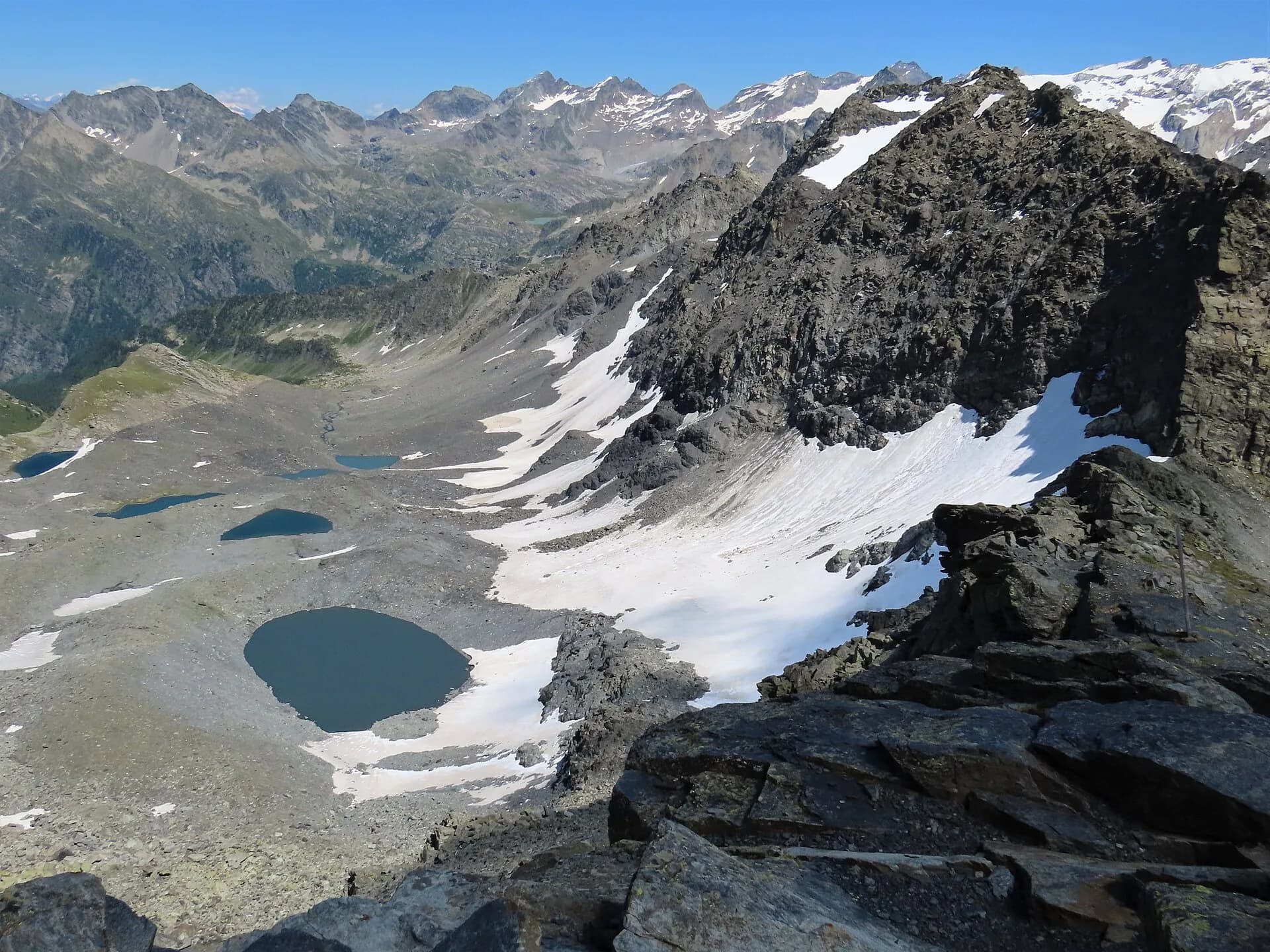
From the Deffeyes hut follow the Alta Via 2 line over the Passo Alto (2,857 m) and the Col de la Crosatie (2,829 m) in sequence, among scree, snowfields and short equipped sections. The descent passes Lake Fond and ends in Planaval (1,557 m), in Valgrisenche.
The tour’s alpine stage, shared with the Alta Via 2. From the hut you traverse the glacial amphitheatre among roches moutonnées and tarns, then climb to the Passo Alto: a rocky notch at 2,857 metres with views from Mont Blanc to the Rutor glacier. The descent into the Orgères valley is steep and on scree at first; snowfields linger well into July. You follow the stream down to the meadows of Planaval, a tiny hamlet of Arvier beneath the wall of the Becca du Lac. No support points along the way: full autonomy in water and food.
Pontos-chave
Passo Alto
2857 m · 2.8 km from start
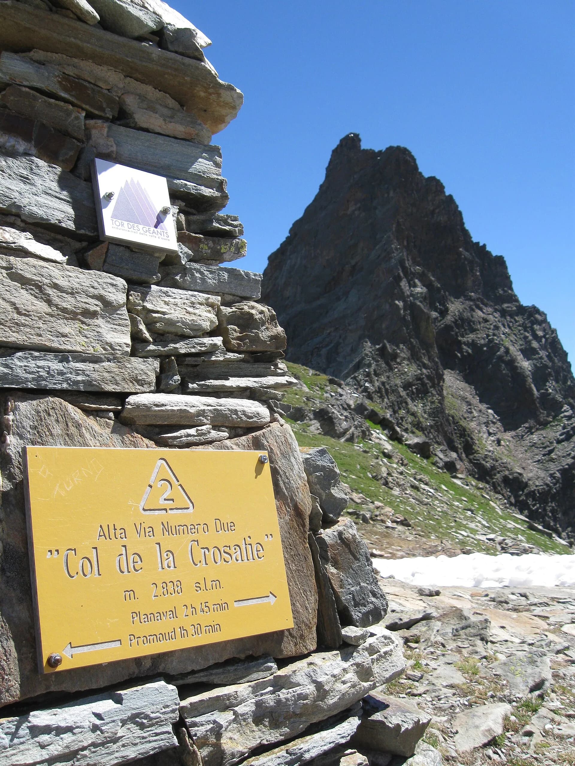
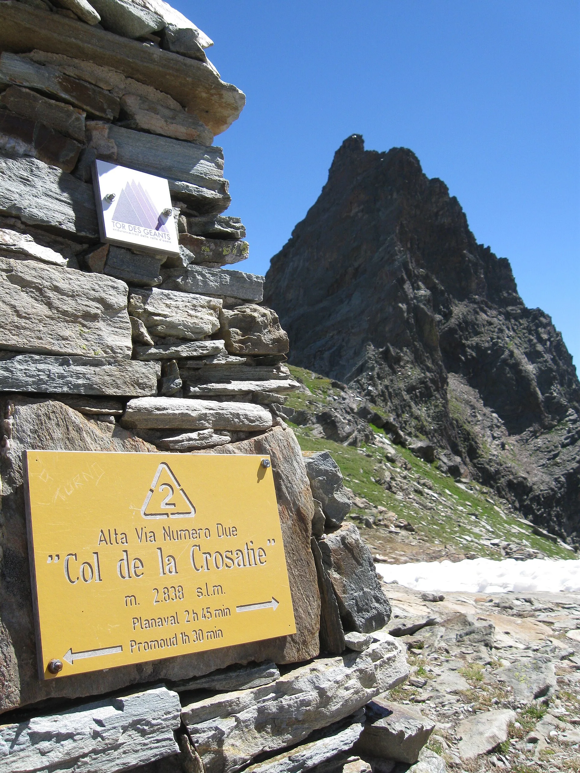
Col de la Crosatie
2829 m · 8.3 km from start
Ciências da Terra
Geologia e paisagem
The Rutor group belongs to the outer Penninic domain: micaschists, fine gneisses and Permo-Carboniferous quartzites of the Ruitor zone, with striking folds visible on the walls above the Deffeyes hut. The three lakes and roches moutonnées of the valley are the work of the Rutor glacier, fast retreating yet still the Aosta Valley’s third largest; at the Col du Mont the Versoyen calcschists crop out with relics of oceanic crust.
História e cultura
The catastrophic outbursts of the Rutor glacial lake (1430-1864) repeatedly flooded the Dora as far as Aosta: processions climbed to the glacier to appease them. The lake’s natural drainage ended the era of the “Rutor floods”.
Pontos de água
Water at the stage's support points (Rifugio Albert Deffeyes, Rifugio Deffeyes, Planaval). On the high ground and at the passes springs are not guaranteed: fill bottles in the valley and at the huts.
Como chegar
Aosta Valley side served by VITA buses and connections from Aosta; many valley heads have summer shuttles. Check seasonal timetables at arriva.it / vita-vda.com.
Estacionamento
Refúgios e abrigos
Galeria de fotos
Photos are published immediately. JPG/PNG/WebP, max 6 MB.
Etapas adjacentes
AEditado e verificado por Andrea Rama
Fonte dos dados: Tour del Rutor — itinerari La Thuile / Valgrisenche / Haute-Tarentaise · Traccia calcolata su rete sentieri OpenStreetMap (ODbL); verificare sul terreno
Última verificação:
La Thuile — Valgrisenche
Trilhos relacionados
Mesmo vale ou percursos semelhantes — mais caminhadas para descobrir.
La Thuile
High Route 2 — Stage 3: La Thuile → Promoud
Climb to Rifugio Deffeyes and Promoud bivouac in the Rutor valley.
La Thuile
High Route 2 — Stage 4: Promoud → Planaval
Cross Col de la Crosatie and descend toward Planaval in Valgrisenche.
La Thuile
Bivio Vallone des Chavannes - Colle del Piccolo San Bernardo
5.2 km · +578 m · E — from Bivio Vallone des Chavannes to Colle del Piccolo San Bernardo (Lys Valley).
La Thuile
Chabodey - Passo Alto (Haut-Pas)
9.9 km · +1873 m · E — from Chabodey to Passo Alto (Haut-Pas) (La Thuile).