High Route 2 — Stage 4: Promoud → Planaval
Avisos
- Check weather and residual snow early season
- Book huts in peak season
14 km
+810 m
−1230 m
5 h
Nível físico
~1336 kcal estimadas
Mapa e percurso
Traço GPX oficial — Região Vale de Aosta / lovevda.it
Descrição
Pontos-chave
Partida
Promoud · 2485 m
Chegada
Planaval · 1545 m
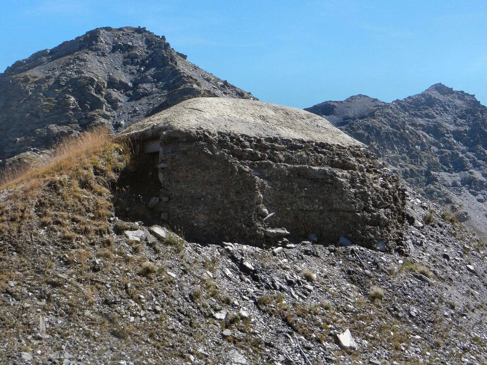
From Promoud bivouac, climb to Col de la Crosatie with its famous stone steps, then descend toward Lac de Fond and Planaval.
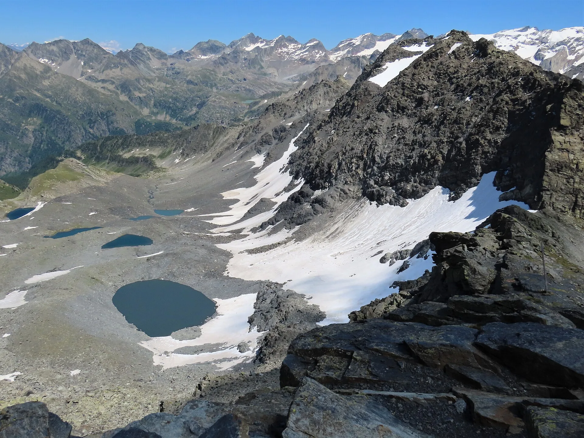
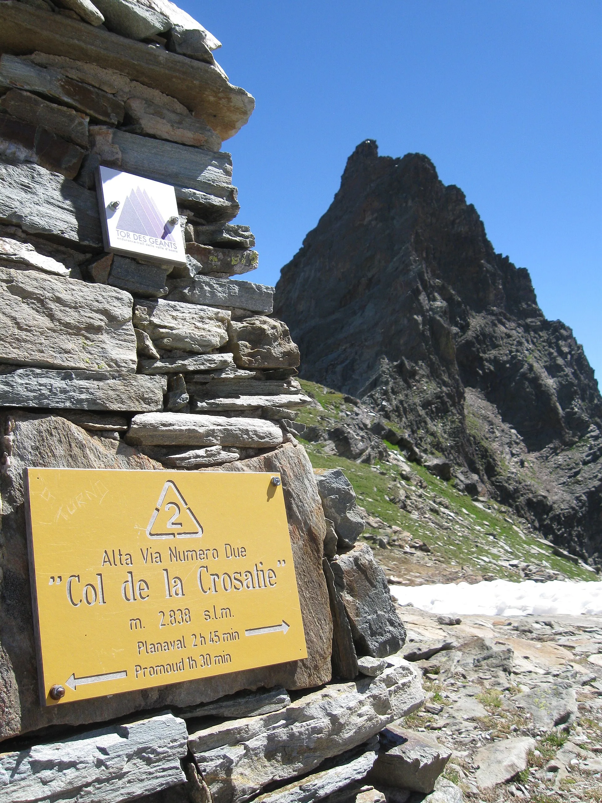
Short but intense: the Col de la Crosatie (2,829 m) is earned up steep grassy slopes and a final fixed-rope section, exposed enough to demand care. From the pass the eye takes in the whole Valgrisenche; the descent passes Lake Fond, a glacial jewel beneath the Becca di Tey, before dropping to Planaval among irrigated meadows and stone chalets.
Pontos-chave
Col de la Crosatie
2650 m · 5 km from start
Marked AV2 alpine pass
Ciências da Terra
Geologia e paisagem
Rutor valley: metamorphic bedrock and active glacial deposits. Retreating Rutor glaciers with proglacial lakes and recent moraines visible from the trail.
História e cultura
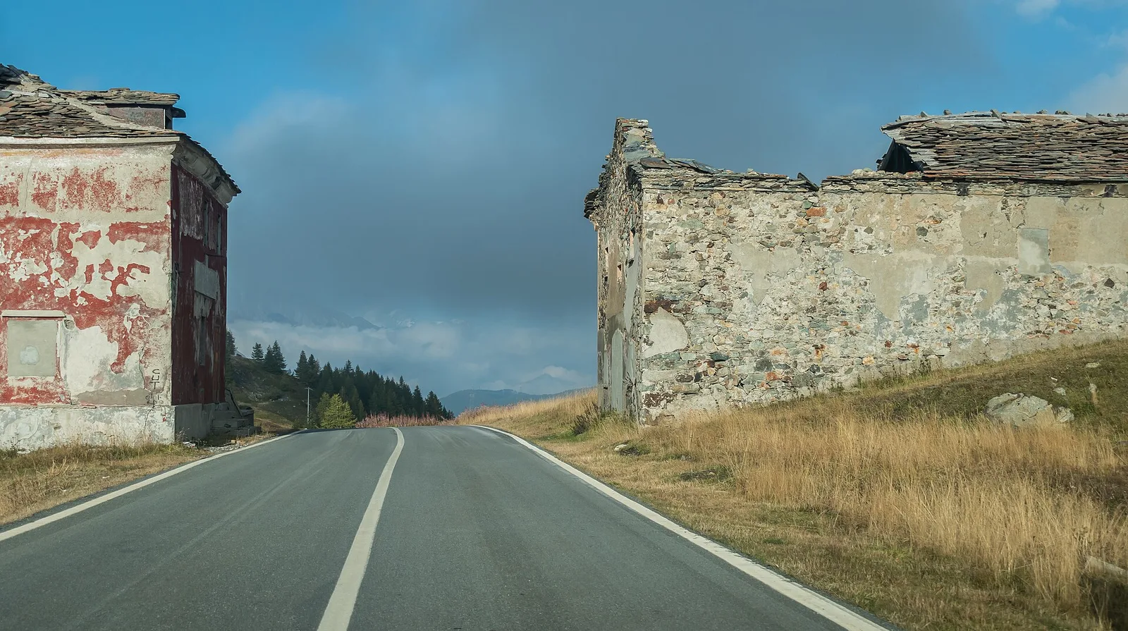
Planaval preserves the most authentic Aosta Valley rural architecture: stone-roofed houses, medieval irrigation channels (ru) and a community that still practises summer transhumance.
Pontos de água
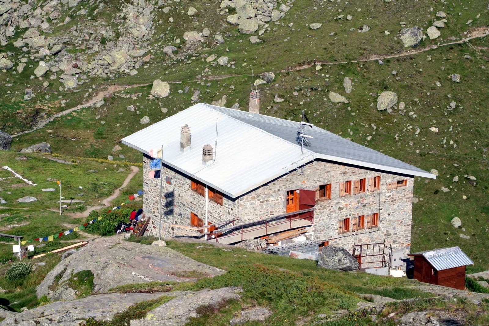
Services in La Thuile. Rifugio Deffeyes and Promoud bivouac with water in season.
Como chegar
VITA buses and connections from Aosta; check seasonal timetables at vita.it.
Estacionamento
Parcheggi comunali nei paesi di valle; verificare limitazioni in alta stagione.
Refúgios e abrigos
Galeria de fotos
Photos are published immediately. JPG/PNG/WebP, max 6 MB.
Flora do trilho
Etapas adjacentes
AEditado e verificado por Andrea Rama
Fonte dos dados: Catasto Sentieri Regione Autonoma VdA — Alta Via n.2 · Open data — DGR 899/2014
Última verificação:
La Thuile
Trilhos relacionados
Mesmo vale ou percursos semelhantes — mais caminhadas para descobrir.
La Thuile — Valgrisenche
Tour du Rutor — Stage 2: Rifugio Albert Deffeyes → Planaval
Passo Alto and Col de la Crosatie: the great Alta Via 2 traverse.
La Thuile
Bivio Vallone des Chavannes - Colle del Piccolo San Bernardo
5.2 km · +578 m · E — from Bivio Vallone des Chavannes to Colle del Piccolo San Bernardo (Lys Valley).
La Thuile
Chabodey - Passo Alto (Haut-Pas)
9.9 km · +1873 m · E — from Chabodey to Passo Alto (Haut-Pas) (La Thuile).
La Thuile
Col de la Fouclaz - Mont-Valaisan
4 km · +440 m · E — from Col de la Fouclaz to Mont-Valaisan (Lys Valley).