Strada per Lazey (presso Cretaz damon) - Mont Charvet
3.8 km
+1059 m
−0 m
3.5 h
Nível físico
Mapa e percurso
Traço GPX — verifique no terreno antes de caminhar
Descrição
Pontos-chave
Partida
Strada per Lazey (presso Cretaz damon) · 1430 m
Chegada
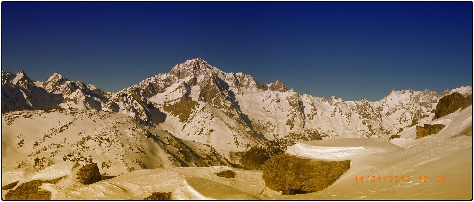
Mont Charvet · 2493 m
Trilho
S16
Strada per Lazey (presso Cretaz damon) - Mont Charvet is an official trail from the Aosta Valley trail registry (code 40_S16). The route lies in the municipality of La Thuile, in the La Thuile. From Strada per Lazey (presso Cretaz damon) (1430 m) to Mont Charvet (2493 m): 3.8 km with +1059 m of elevation change, difficulty E (CAI scale). Minimum elevation 1430 m, maximum 2493 m. Recommended season per registry: Giugno-settembre (months 6, 7, 8, 9). Waymarking: 13 segnavia recorded in the registry. GPX track and elevation data from Regione Autonoma Valle d'Aosta (open data DGR 899/2014).
Estacionamento
Galeria de fotos
Photos are published immediately. JPG/PNG/WebP, max 6 MB.
Fauna para observar
AEditado e verificado por Andrea Rama
Fonte dos dados: Catasto Sentieri Regione Autonoma VdA · Open data — DGR 899/2014
Última verificação:
Valle centrale
Trilhos relacionados
Mesmo vale ou percursos semelhantes — mais caminhadas para descobrir.

Valle centrale
Anello del Verrand
2.6 km · +233 m · E — from Château Verrand to Château Verrand (Rhêmes Valley).

Valle centrale
Area giochi Croux - Parleyaz
4.1 km · +476 m · E — from Area giochi Croux to Parleyaz (Central Valley).

Valle centrale
Arlier - Cloutraz (Pontey)
From Arlier (603m) to Cloutraz (1067m) on the Châtillon hillside: 3.5 km E through vineyards, woodland and views over the Dora Baltea.

Valle centrale
Arpilles - Champromenty
2.1 km · +333 m · E — from Arpilles to Champromenty (Lys Valley).