Frachey - Varda
1.5 km
+370 m
−0 m
1.5 h
Nível físico
Mapa e percurso
Traço GPX — verifique no terreno antes de caminhar
Descrição
Pontos-chave
Partida
Frachey · 1609 m
Chegada
Varda · 1965 m
Trilho
S66
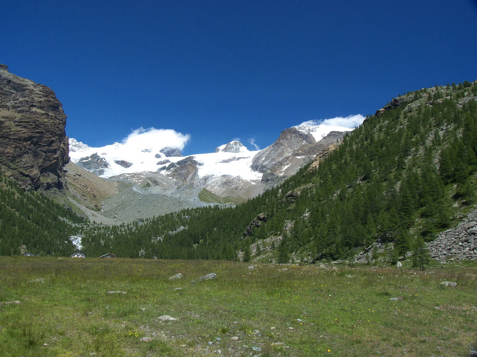
Frachey - Varda is an official trail from the Aosta Valley trail registry (code 07_S66). The route lies in the municipality of Avise, in the Central Valley. From Frachey (1609 m) to Varda (1965 m): 1.5 km with +370 m of elevation change, difficulty E (CAI scale). Minimum elevation 1609 m, maximum 1965 m. GPX track and elevation data from Regione Autonoma Valle d'Aosta (open data DGR 899/2014).
Estacionamento
Galeria de fotos
Photos are published immediately. JPG/PNG/WebP, max 6 MB.
Fauna para observar
AEditado e verificado por Andrea Rama
Fonte dos dados: Catasto Sentieri Regione Autonoma VdA · Open data — DGR 899/2014
Última verificação:
Val d'Ayas
Trilhos relacionados
Mesmo vale ou percursos semelhantes — mais caminhadas para descobrir.

Val d'Ayas
Amponey - Becca Trecare
A demanding EE ascent from Amponey to Becca Trecare at 3032m — nearly 1500m of gain on varied terrain with sweeping summit views.

Val d'Ayas
Amponey - Alpe Mascognaz
1.8 km · +309 m · E — from Amponey to Alpe Mascognaz (Central Valley).

Val d'Ayas
Amponey - Bec de Nannaz
In the Val d'Ayas, Ayas: an E-rated climb toward a high-altitude objective through pastures and rock with views of Monte Rosa.

Val d'Ayas
Amponey - Mont Facebelle
In the Val d'Ayas, Ayas: an E/EE-rated climb toward a high-altitude objective in the alpine landscape.