High Route 2 — Stage 9: Rifugio Vittorio Sella → Cogne
Avisos
- Check weather and residual snow early season
- Book huts in peak season
 1 / 2
1 / 28 km
+0 m
−1045 m
2.5 h
Nível físico
~680 kcal estimadas
Mapa e percurso
Traço GPX oficial — Região Vale de Aosta / lovevda.it
Descrição
Pontos-chave
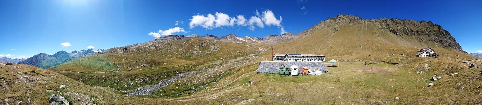
Partida
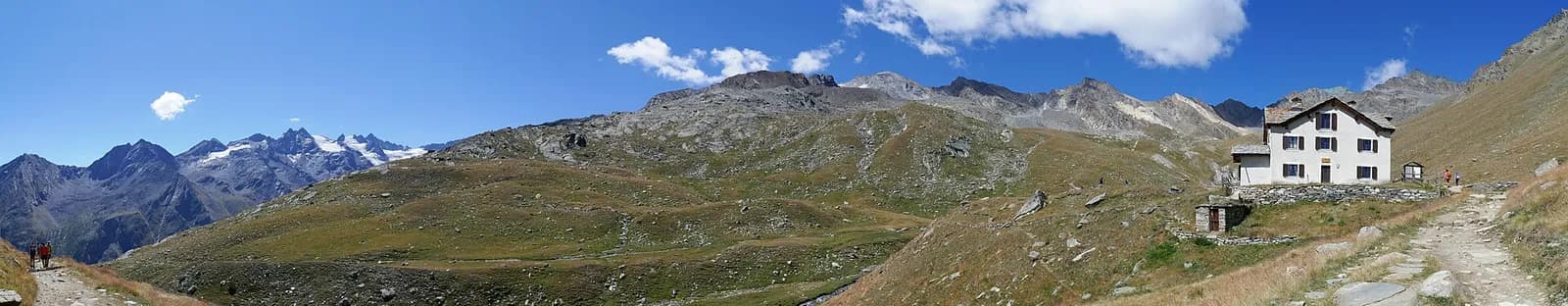
Rifugio Vittorio Sella · 2584 m
Chegada
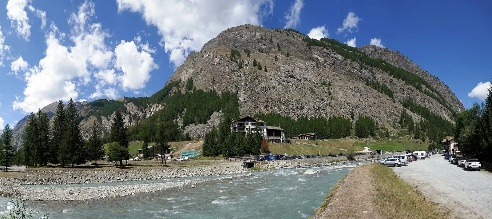
Cogne · 1543 m
Shortest AV2 stage: descend through woods and Paradisia garden to Valnontey and Cogne.
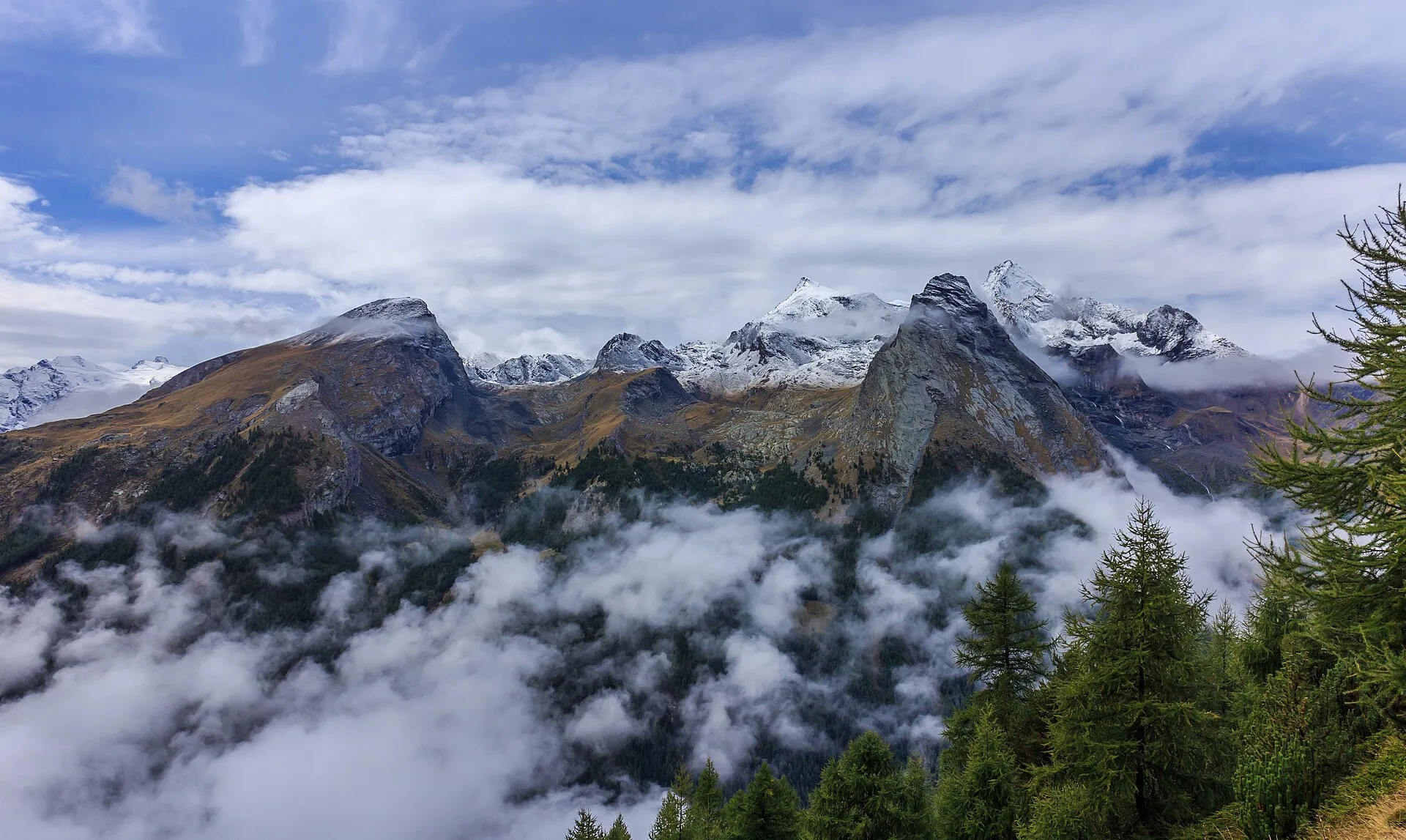
A gentle, glorious descent: from the Sella hut follow the royal mule track down the Lauson valley, among waterfalls and pastures, to Valnontey, with the Tribolazione glacier and the Gran Paradiso north face sealing the valley. The Paradisia alpine botanical garden at Valnontey deserves your last hour; then the Sant’Orso meadow leads into Cogne, capital of the Park.
Pontos-chave
Valnontey
1666 m · 5 km from start
Ciências da Terra
Geologia e paisagem
Glacial valley with moraines and fluvioglacial deposits; gneiss and calcschist outcrops. Paradisia botanic garden documents alpine flora on varied substrates.
História e cultura
Cogne was a mining town for a century: Colonna magnetite, extracted until 1979 at 2,400 metres, descended by an underground railway now open to cyclists.
Pontos de água
Many fountains in Cogne and Valnontey; managed huts at altitude.
Como chegar
VITA buses and connections from Aosta; check seasonal timetables at vita.it.
Estacionamento
Parcheggi comunali nei paesi di valle; verificare limitazioni in alta stagione.
Cumes próximos
Refúgios e abrigos
Galeria de fotos
Photos are published immediately. JPG/PNG/WebP, max 6 MB.
Flora do trilho
Etapas adjacentes
AEditado e verificado por Andrea Rama
Fonte dos dados: Catasto Sentieri Regione Autonoma VdA — Alta Via n.2 · Open data — DGR 899/2014
Última verificação:
Val di Cogne
Trilhos relacionados
Mesmo vale ou percursos semelhantes — mais caminhadas para descobrir.
Val di Cogne
Gran Paradiso Tour — Stage 1: Cogne → Valnontey
A gentle prologue across the Sant’Orso meadow.
Val di Cogne
Gran Paradiso Tour — Stage 2: Valnontey → Rifugio Vittorio Sella
The royal hunting mule track to the Sella hut, kingdom of the ibex.
Val di Cogne — Valsavarenche
Gran Paradiso Tour — Stage 3: Rifugio Vittorio Sella → Eaux Rousses
The Col Lauson, the hiking “roof” of the Park.
Val di Cogne
Gran Paradiso Tour — Stage 9: Rifugio Vittorio Sella → Cogne
The final descent to Valnontey and the return to Cogne.