High Route 2 — Stage 10: Cogne → Rifugio Sogno di Berdzé
Avisos
- Check weather and residual snow early season
- Book huts in peak season
 1 / 2
1 / 212 km
+1100 m
−116 m
5 h
Nível físico
~1425 kcal estimadas
Mapa e percurso
Traço GPX oficial — Região Vale de Aosta / lovevda.it
Descrição
Pontos-chave
Partida
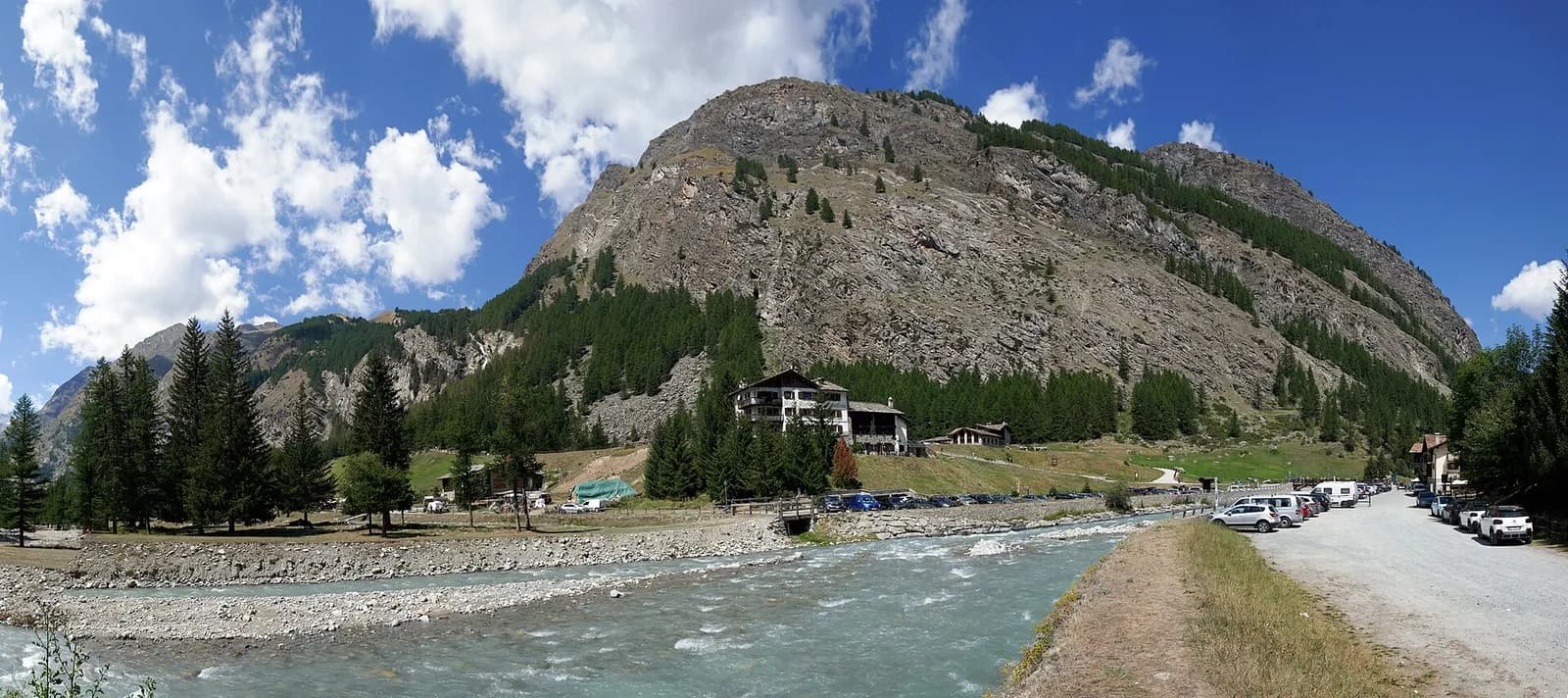
Cogne · 1543 m
Chegada
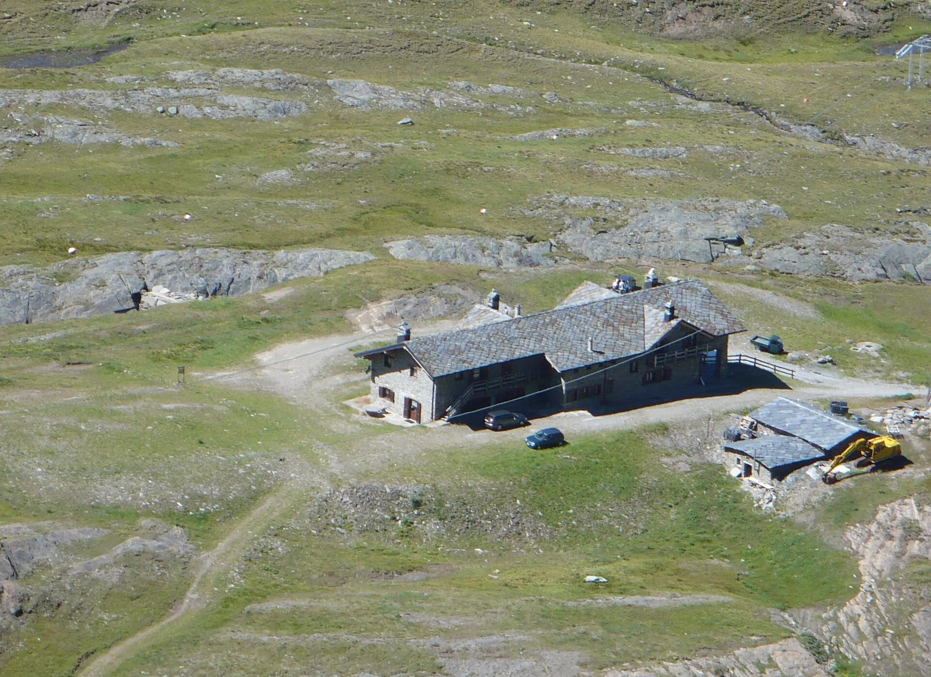
Rifugio Sogno di Berdzé · 2527 m
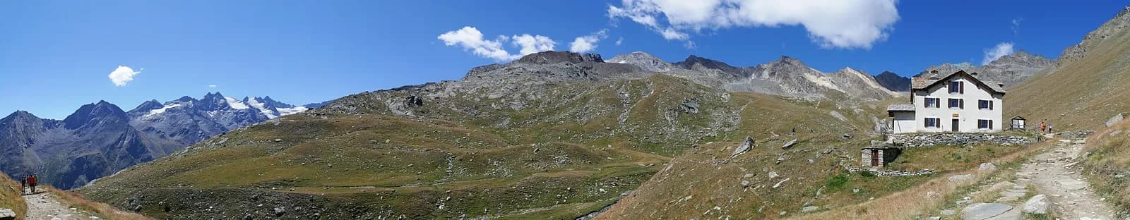
Climb Val di Cogne via Lillaz and Urtier pastures to Sogno di Berdzé hut.
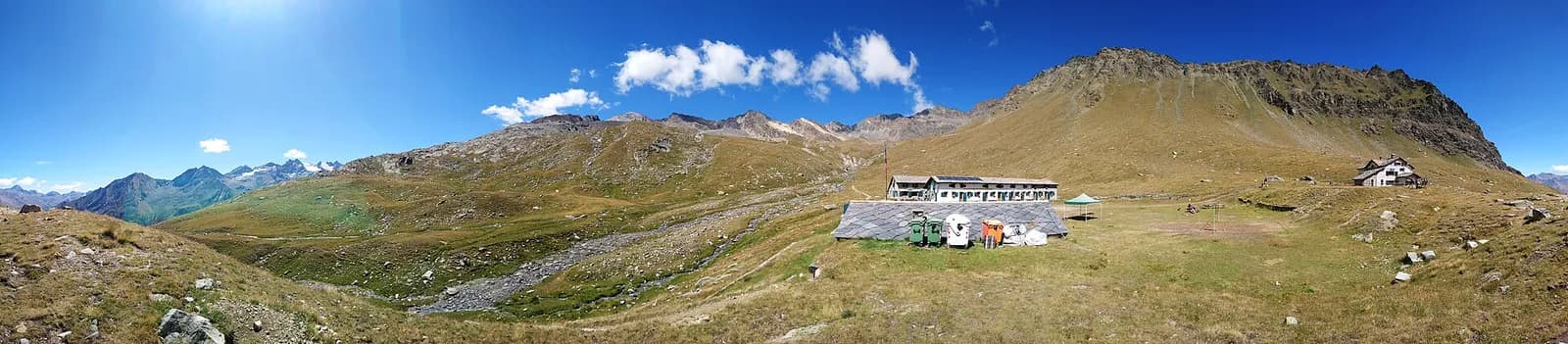
From Cogne you ascend the wild Urtier valley, the most secluded on this side: working alps, stone bridges and, high on the opposite flank, the abandoned Colonna mines. The Sogno di Berdzé hut at Alpe Péradzà (2,530 m) is the valley’s only support: always book. The valley keeps the atmosphere of a forgotten corner of the Park: there are no roads to the upper alps, only the old miners’ and shepherds’ paths, and the silence is broken solely by streams and the whistle of marmots.
Pontos-chave
Lillaz
1650 m · 4 km from start
Ciências da Terra
Geologia e paisagem
Glacial valley with moraines and fluvioglacial deposits; gneiss and calcschist outcrops. Paradisia botanic garden documents alpine flora on varied substrates.
História e cultura
The hut’s name — “Berdzé’s dream”, the shepherd — comes from local legend; the Urtier valley was the miners’ route climbing on foot from Cogne to Europe’s highest mines.
Pontos de água
Many fountains in Cogne and Valnontey; managed huts at altitude.
Como chegar
VITA buses and connections from Aosta; check seasonal timetables at vita.it.
Estacionamento
Parcheggi comunali nei paesi di valle; verificare limitazioni in alta stagione.
Cumes próximos
Refúgios e abrigos
Galeria de fotos
Photos are published immediately. JPG/PNG/WebP, max 6 MB.
Flora do trilho
Etapas adjacentes
AEditado e verificado por Andrea Rama
Fonte dos dados: Catasto Sentieri Regione Autonoma VdA — Alta Via n.2 · Open data — DGR 899/2014
Última verificação:
Val di Cogne
Trilhos relacionados
Mesmo vale ou percursos semelhantes — mais caminhadas para descobrir.
Val di Cogne
Gran Paradiso Tour — Stage 1: Cogne → Valnontey
A gentle prologue across the Sant’Orso meadow.
Val di Cogne
Gran Paradiso Tour — Stage 2: Valnontey → Rifugio Vittorio Sella
The royal hunting mule track to the Sella hut, kingdom of the ibex.
Val di Cogne — Valsavarenche
Gran Paradiso Tour — Stage 3: Rifugio Vittorio Sella → Eaux Rousses
The Col Lauson, the hiking “roof” of the Park.
Val di Cogne
Gran Paradiso Tour — Stage 9: Rifugio Vittorio Sella → Cogne
The final descent to Valnontey and the return to Cogne.