Gran Paradiso Tour — Stage 1: Cogne → Valnontey
2.9 km
+124 m
−11 m
1 h
Nível físico
Mapa e percurso
Traço GPX — verifique no terreno antes de caminhar
Descrição
Pontos-chave
Partida
Cogne · 1543 m
Chegada
Valnontey · 1667 m
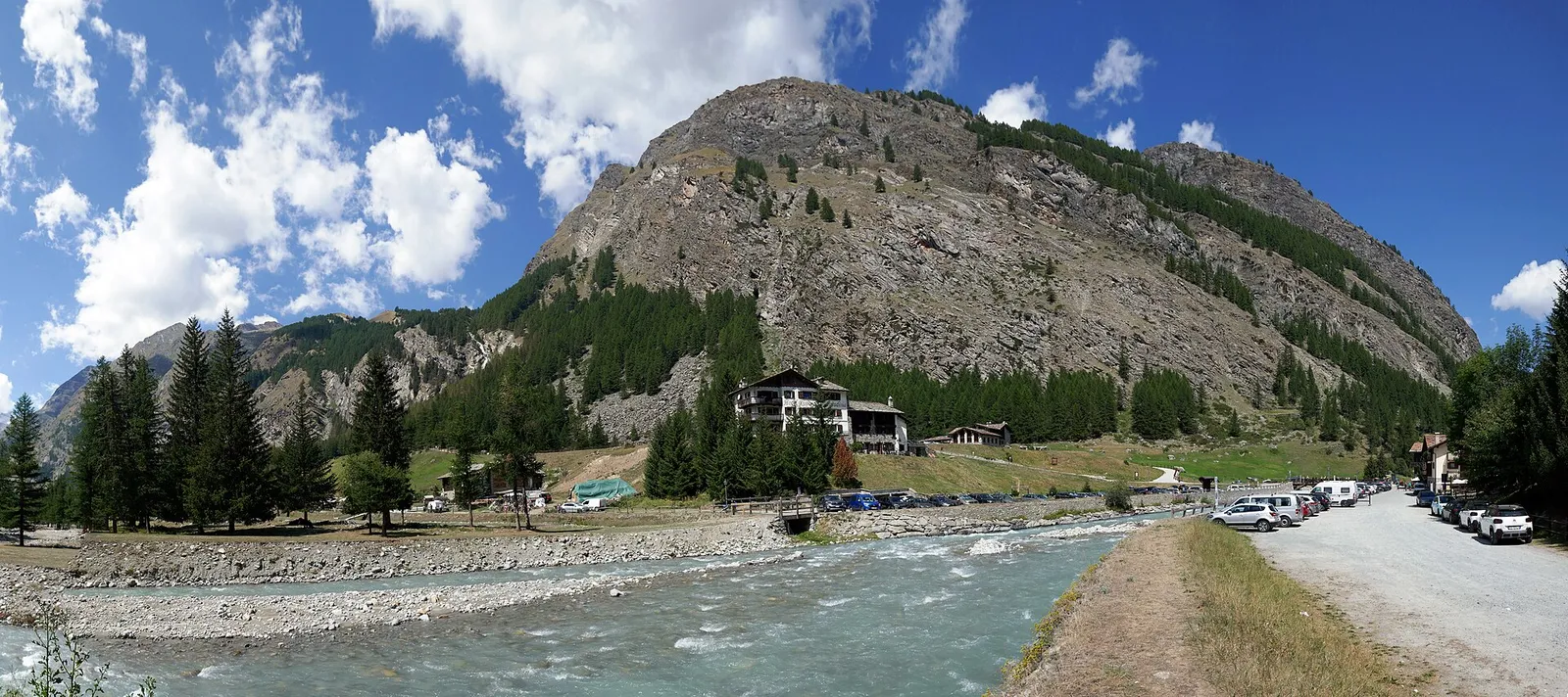
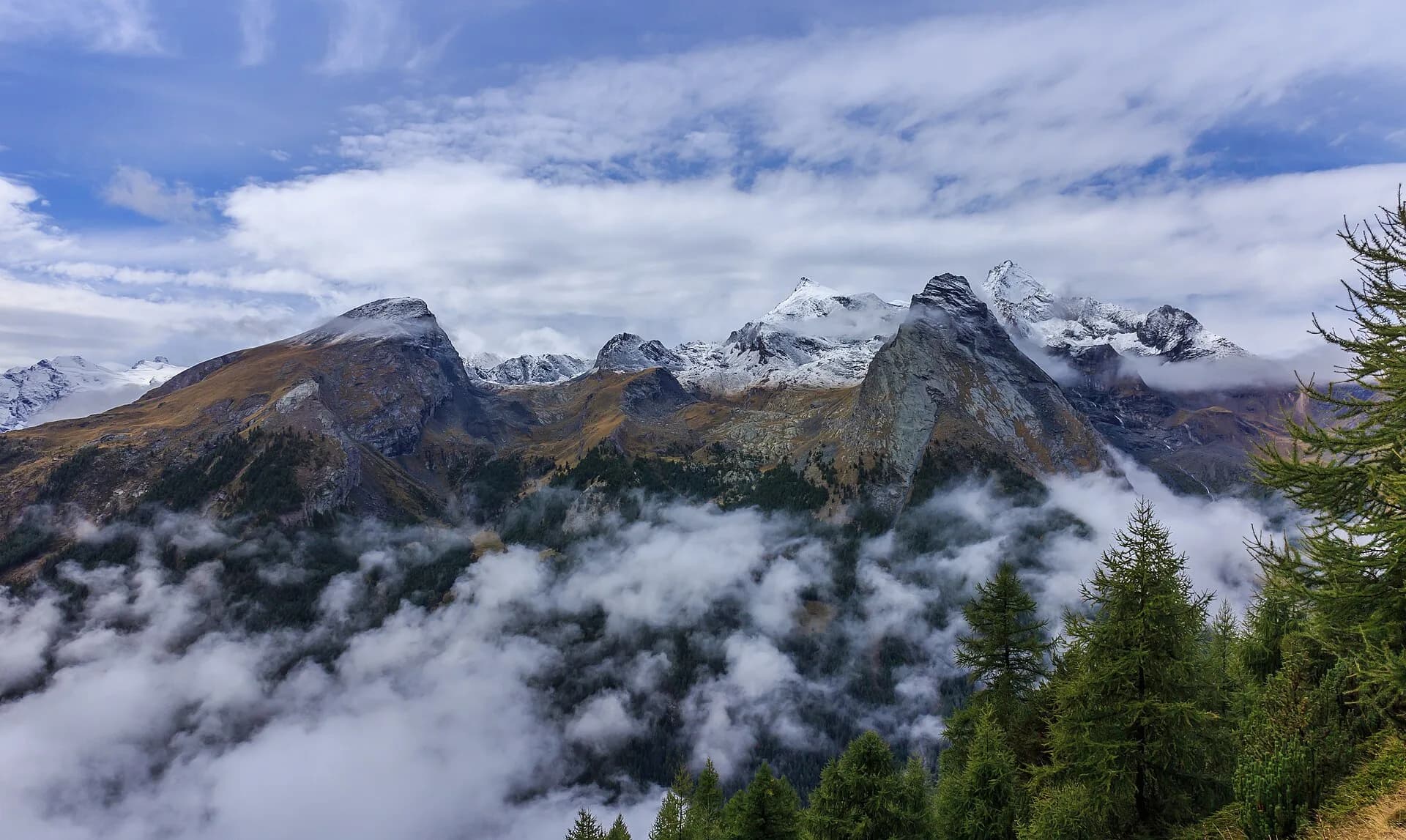
A short approach stage for everyone: from Cogne cross the great Sant’Orso meadow and follow the stream to the village of Valnontey (1,666 m), the tour’s starting base and home of the Paradisia alpine botanical garden.
The Sant’Orso meadow, ranked among “Italy’s most beautiful meadows”, is the curtain that opens the tour: a square kilometre of mown grass with the Tribolazione glacier as backdrop. The walk follows the stream through larch woods and over little wooden bridges — perfect for stretching the legs on arrival day. In Valnontey, the Paradisia botanical garden, with over a thousand alpine species, and the old rural houses of the hamlet deserve a visit. From here start the royal hunting trails that will take you high tomorrow.
Ciências da Terra
Geologia e paisagem
Glacial valley with moraines and fluvioglacial deposits; gneiss and calcschist outcrops. Paradisia botanic garden documents alpine flora on varied substrates.
História e cultura
The Sant’Orso meadow, kept intact for centuries by the community’s will, is the widest irrigated meadow in the Italian Alps; at Valnontey the Paradisia garden has grown over a thousand alpine species since 1955.
Pontos de água
Water at the stage's support points (Cogne, Valnontey). On the high ground and at the passes springs are not guaranteed: fill bottles in the valley and at the huts.
Como chegar
VITA buses and connections from Aosta; check seasonal timetables at vita.it.
Estacionamento
Galeria de fotos
Photos are published immediately. JPG/PNG/WebP, max 6 MB.
Flora do trilho
Etapas adjacentes
AEditado e verificado por Andrea Rama
Fonte dos dados: Parco Nazionale Gran Paradiso — rete sentieri ufficiale · Traccia calcolata su rete sentieri OpenStreetMap (ODbL); verificare sul terreno
Última verificação:
Val di Cogne
Trilhos relacionados
Mesmo vale ou percursos semelhantes — mais caminhadas para descobrir.
Val di Cogne — Valsavarenche
Gran Paradiso Tour — Stage 3: Rifugio Vittorio Sella → Eaux Rousses
The Col Lauson, the hiking “roof” of the Park.
Val di Cogne
Gran Paradiso Tour — Stage 9: Rifugio Vittorio Sella → Cogne
The final descent to Valnontey and the return to Cogne.
Val di Cogne
High Route 2 — Stage 10: Cogne → Rifugio Sogno di Berdzé
Climb from Cogne centre to Rifugio Sogno di Berdzé at Péradzà.
Val di Cogne
High Route 2 — Stage 9: Rifugio Vittorio Sella → Cogne
Scenic descent from Vittorio Sella to Cogne via Valnontey.