Lillaz - Lac de Loie
3.2 km
+736 m
−0 m
2.5 h
Nível físico
Mapa e percurso
Traço GPX — verifique no terreno antes de caminhar
Descrição
Pontos-chave
Partida
Lillaz · 1631 m
Chegada
Lago Loie · 2353 m
Trilho
S30
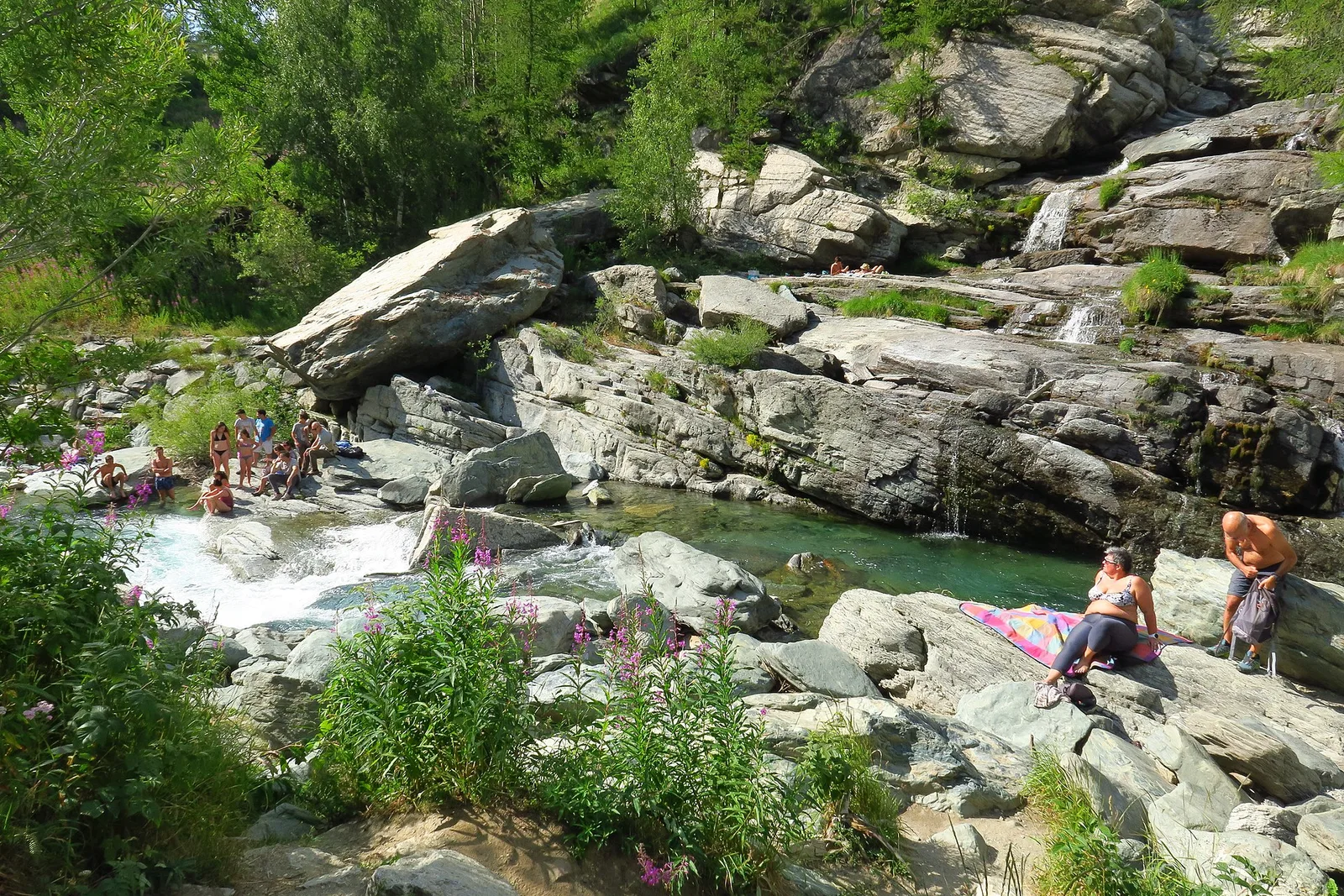
From Lillaz, above the famous waterfalls, waymark no. 12 climbs steeply through larch woods to Lac de Loie (about 2,350 m), a little pool set among the rocks. A classic Cogne half-day — short but with a firm ascent — rewarded by a secluded lake and views over the Bardoney valley, frequented by the Gran Paradiso ibex. For reasonably fit walkers; dogs are not allowed in the Park.
Ciências da Terra
Geologia e paisagem
The Gran Paradiso massif is a crystalline core of the Penninic nappe: augen orthogneisses wrapped in calcschists and greenstones, shaped by the glaciers that feed the valley's lakes and waterfalls.
História e cultura
This is the Gran Paradiso National Park, Italy's oldest (1922), born from the royal hunting reserve of Vittorio Emanuele II: here the ibex was saved from extinction and the trails follow the royal mule tracks. Ibex, chamois, marmots and the bearded vulture are frequent sights.
Estacionamento
Galeria de fotos
Photos are published immediately. JPG/PNG/WebP, max 6 MB.
Flora do trilho
Fauna para observar
AEditado e verificado por Andrea Rama
Fonte dos dados: Catasto Sentieri Regione Autonoma VdA · Open data — DGR 899/2014
Última verificação:
Val di Cogne
Trilhos relacionados
Mesmo vale ou percursos semelhantes — mais caminhadas para descobrir.

Val di Cogne
Alpe Bardoney (incrocio sentieri 12-13G)- Col de l'Arolla
5.3 km · +684 m · EE — from Alpe Bardoney (incrocio sentieri 12-13G) to Col de l'Arolla (Lys Valley).

Val di Cogne
Antiche miniere di ferro di Colonna
3.8 km · +852 m · E — from Moline to Miniere di Colonna (Lys Valley).

Val di Cogne
Arpisson - Col Chasèche
2.3 km · +498 m · E — from Arpisson to Col Chasèche (Lys Valley).

Val di Cogne
Arrivo impianto risalita Chamolé- Tête Noire
1.4 km · +497 m · E — from Arrivo impianto risalita Chamolé to Tête Noire (Lys Valley).