Plan Ponquet - Mont-Chetif
4.8 km
+823 m
−0 m
3.5 h
Nível físico
Mapa e percurso
Traço GPX — verifique no terreno antes de caminhar
Descrição
Pontos-chave
Partida
Plan Ponquet · 1512 m
Chegada
Mont-Chetif · 2324 m
Trilho
S45
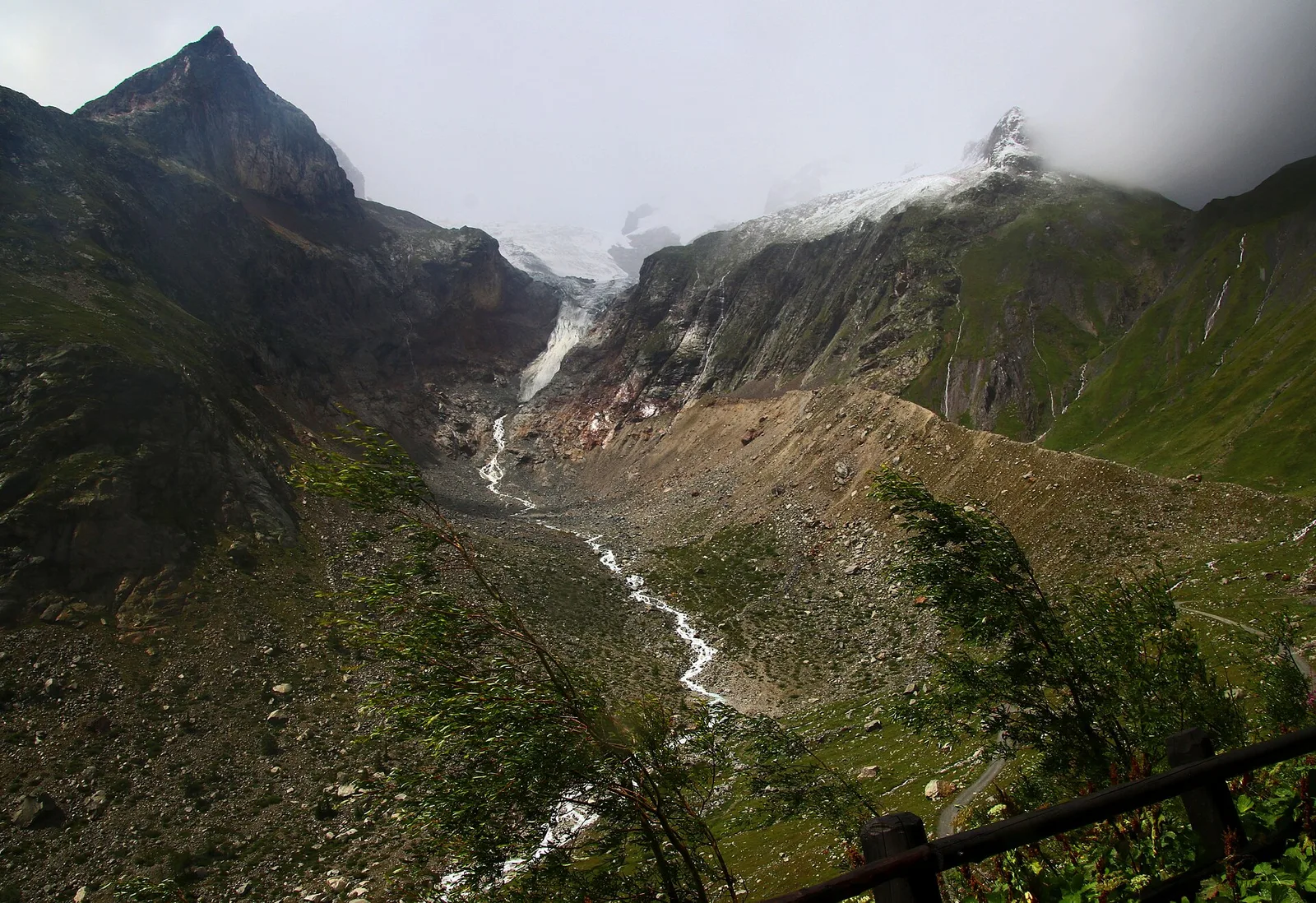
Plan Ponquet - Mont-Chetif is an official trail from the Aosta Valley trail registry (code 22_S45). The route lies in the municipality of Doues, in the Great St Bernard Valley. From Plan Ponquet (1512 m) to Mont-Chetif (2324 m): 4.8 km with +823 m of elevation change, difficulty E (CAI scale). Minimum elevation 1512 m, maximum 2324 m. Recommended season per registry: Luglio - Settembre (months 7, 8, 9). Waymarking: 5 segnavia recorded in the registry. GPX track and elevation data from Regione Autonoma Valle d'Aosta (open data DGR 899/2014).
Estacionamento
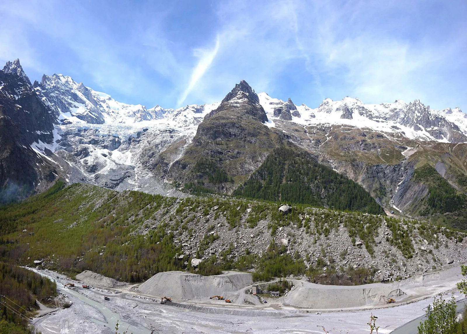
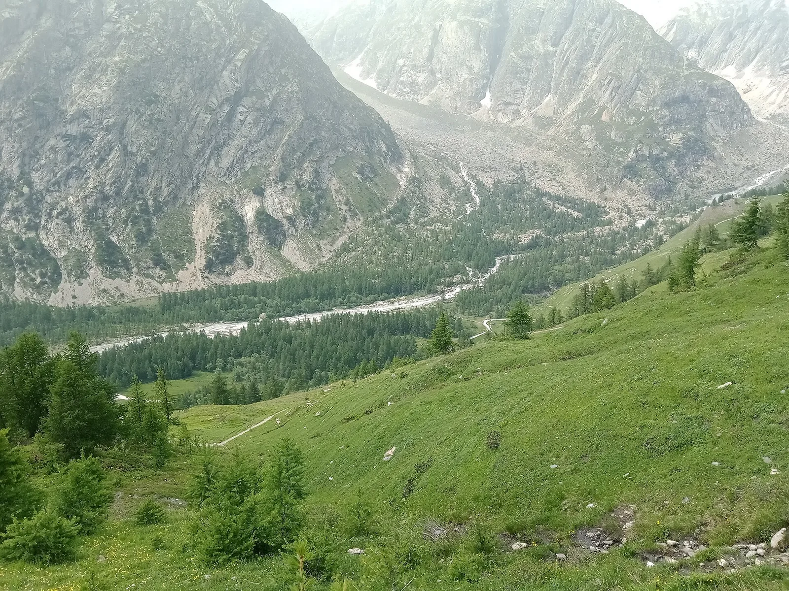
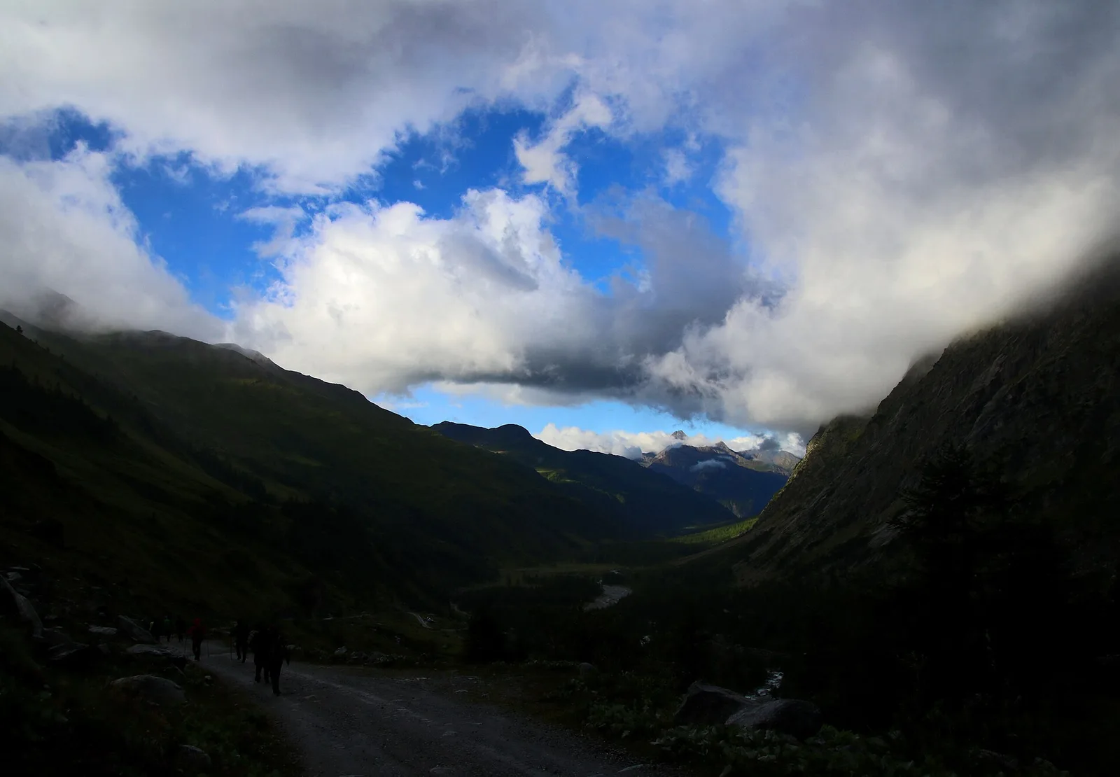
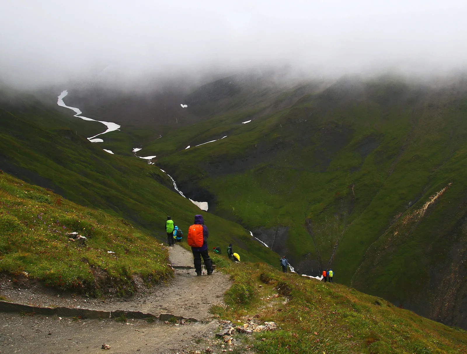
Galeria de fotos
Photos are published immediately. JPG/PNG/WebP, max 6 MB.
Flora do trilho
Fauna para observar
AEditado e verificado por Andrea Rama
Fonte dos dados: Catasto Sentieri Regione Autonoma VdA · Open data — DGR 899/2014
Última verificação:
Val Ferret
Trilhos relacionados
Mesmo vale ou percursos semelhantes — mais caminhadas para descobrir.
Val Ferret
Arp Nouva - Bellecombe - Colle des Angrognettes - Col du Ban Darrey
6.8 km · +929 m · EE — from Arp-Nouva to Colle des Angrognettes (Great St Bernard Valley).
Val Ferret
Arp Nouva - Bivacco Comino
2.8 km · +678 m · EE — from Arp.Nouva to Biv. Comino (Great St Bernard Valley).
Val Ferret
Arp Nouva - Bivacco Florio (Refuge du Dolent)
4.9 km · +961 m · E — from Arp.Nouva to Bivacco Florio (Refuge du Dolent) (Great St Bernard Valley).
Val Ferret
Arp Nouva - Rifugio Dalmazzi
4.2 km · +814 m · EE — from Arp.Nouva to Rifugio Dalmazzi (Great St Bernard Valley).