Porossan, Neyves - Col di Viou
Avisos
- Very demanding ascent (nearly 2000 m): a full-day route, only for fit hikers.
- South-facing slope largely without water points: carry adequate supplies, especially on hot days.
- Possible residual snowfields near the pass early in the season, above 2500 m.
9.3 km
+1983 m
−0 m
7.5 h
Nível físico
Mapa e percurso
Traço GPX — verifique no terreno antes de caminhar
Descrição
Pontos-chave
Partida
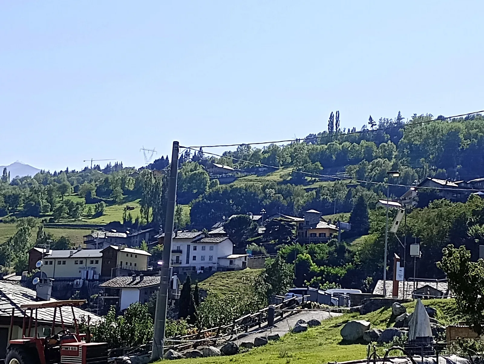
Porossan, Neyves · 739 m
Chegada
Col di Viou · 2713 m
Trilho
S11
One of the longest and most demanding climbs on the sunny adret slope above Aosta. The route starts from the hamlets of Porossan and Neyves (739 m), amid meadows, vineyards and rural clusters overlooking the basin, and gains height steadily along the south-facing flank. Broadleaf woodland soon gives way to conifers and then to alpine pastures, while the gradient offers no respite: nearly two thousand metres of ascent make this a full-day effort, suited to fit hikers. The higher you climb, the more open and rocky the surroundings become, until the high meadows that precede the Col di Viou (2713 m). From the pass the gaze takes in the Aosta basin and the arc of summits that ring it. The descent retraces the ascent. Difficulty E, 9.3 km.
Estacionamento
Galeria de fotos
Photos are published immediately. JPG/PNG/WebP, max 6 MB.
Fauna para observar
AEditado e verificado por Andrea Rama
Fonte dos dados: Catasto Sentieri Regione Autonoma VdA · Open data — DGR 899/2014
Última verificação:
Valle centrale
Trilhos relacionados
Mesmo vale ou percursos semelhantes — mais caminhadas para descobrir.

Valle centrale
Anello del Verrand
2.6 km · +233 m · E — from Château Verrand to Château Verrand (Rhêmes Valley).

Valle centrale
Area giochi Croux - Parleyaz
4.1 km · +476 m · E — from Area giochi Croux to Parleyaz (Central Valley).

Valle centrale
Arlier - Cloutraz (Pontey)
From Arlier (603m) to Cloutraz (1067m) on the Châtillon hillside: 3.5 km E through vineyards, woodland and views over the Dora Baltea.

Valle centrale
Arpilles - Champromenty
2.1 km · +333 m · E — from Arpilles to Champromenty (Lys Valley).