Torlin - Pointe de la Pierre
6.3 km
+1198 m
−0 m
4.5 h
Nível físico
Mapa e percurso
Traço GPX — verifique no terreno antes de caminhar
Descrição
Pontos-chave
Partida
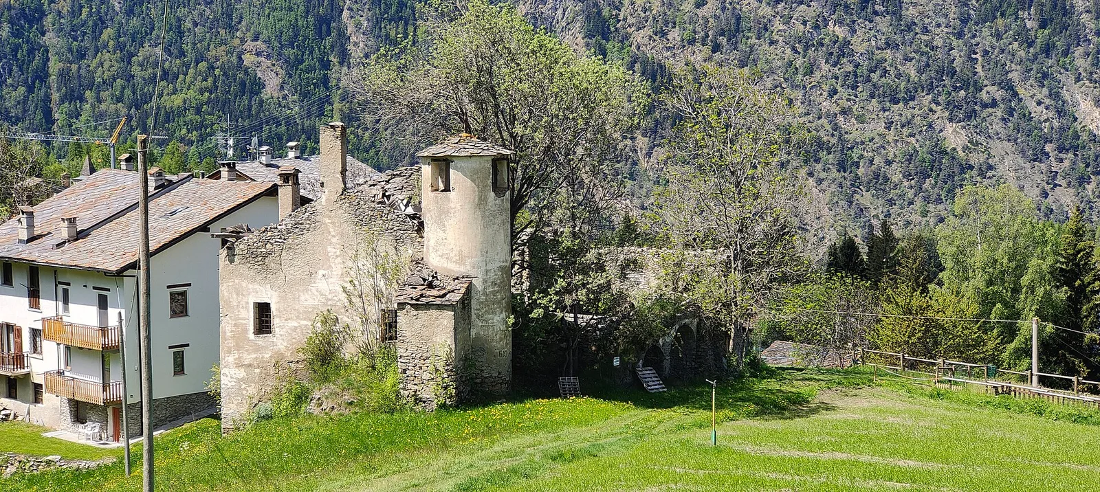
Torlin · 1463 m
Chegada
Pointe de la Pierre · 2261 m
Trilho
S17
Official trail from the Aosta Valley Trail Cadastre in the municipality of Aymavilles, Val di Cogne. It runs from Torlin (1463 m) to Pointe de la Pierre (2261 m), covering 6.3 km with +1198 m of ascent. Difficulty Hiking (E) on the CAI scale, with an estimated walking time of about 4 h 30′. Along the way there are 1 signposts/markers of the regional trail network, to follow at junctions together with the white-and-red blazes. Recommended period: July, August and September.
Estacionamento
Galeria de fotos
Photos are published immediately. JPG/PNG/WebP, max 6 MB.
Flora do trilho
Fauna para observar
AEditado e verificado por Andrea Rama
Fonte dos dados: Catasto Sentieri Regione Autonoma VdA · Open data — DGR 899/2014
Última verificação:
Val di Cogne
Trilhos relacionados
Mesmo vale ou percursos semelhantes — mais caminhadas para descobrir.

Val di Cogne
Alpe Bardoney (incrocio sentieri 12-13G)- Col de l'Arolla
5.3 km · +684 m · EE — from Alpe Bardoney (incrocio sentieri 12-13G) to Col de l'Arolla (Lys Valley).

Val di Cogne
Antiche miniere di ferro di Colonna
3.8 km · +852 m · E — from Moline to Miniere di Colonna (Lys Valley).

Val di Cogne
Arpisson - Col Chasèche
2.3 km · +498 m · E — from Arpisson to Col Chasèche (Lys Valley).

Val di Cogne
Arrivo impianto risalita Chamolé- Tête Noire
1.4 km · +497 m · E — from Arrivo impianto risalita Chamolé to Tête Noire (Lys Valley).