Graines - Col de Garda
6.6 km
+880 m
−0 m
4 h
Nível físico
Mapa e percurso
Traço GPX — verifique no terreno antes de caminhar
Descrição
Pontos-chave
Partida
Graines · 1420 m
Chegada
Col de Garda · 2268 m
Trilho
S26
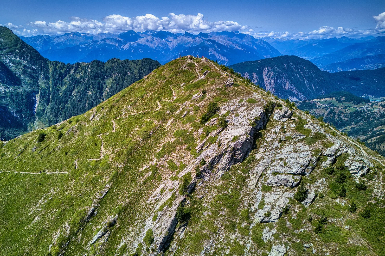
The trail starts at Graines (1420 m), watched over by one of the finest medieval castles in the Aosta Valley. The path climbs steadily through mixed forest and open alpine pastures, offering expanding views of the Val d'Ayas peaks. After gaining 880 metres over 6.6 km, the route reaches Col de Garda at 2268 m — a broad, quiet upland terrace with sweeping mountain panoramas toward the Monte Rosa massif and, on the far side, the Valle del Lys. A demanding but rewarding itinerary for fit hikers, best from June to October.
Estacionamento
Galeria de fotos
Photos are published immediately. JPG/PNG/WebP, max 6 MB.
Flora do trilho
Fauna para observar
AEditado e verificado por Andrea Rama
Fonte dos dados: Catasto Sentieri Regione Autonoma VdA · Open data — DGR 899/2014
Última verificação:
Valle del Lys
Trilhos relacionados
Mesmo vale ou percursos semelhantes — mais caminhadas para descobrir.

Valle del Lys
Anello dei Gemelli della Mologna
8.9 km · +996 m · EEA — from Niel to Niel (Great St Bernard Valley).

Valle del Lys
Balmeto - Leck Albezò
1.2 km · +287 m · E — from Balmeto to Leck Albezò (Champorcher Valley).

Valle del Lys
Bino - Passo di Valnera
4.5 km · +1280 m · E — from Bino to Alpe Jatza (Champorcher Valley).

Valle del Lys
Cascate di Niel
0.6 km · +80 m · E — from Start 7B to Cascate di Niel (Great St Bernard Valley).