Blanchard - Rifugio Mezzalama
Avisos
- Near the hut terrain may be glacial: check conditions before departure.
- July–September only. Heavy snow outside season.
7.5 km
+1282 m
−0 m
5 h
Nível físico
Mapa e percurso
Traço GPX — verifique no terreno antes de caminhar
Descrição
Pontos-chave
Partida
Blanchard · 1731 m
Chegada
Rifugio Mezzalama · 3009 m
Trilho
S64
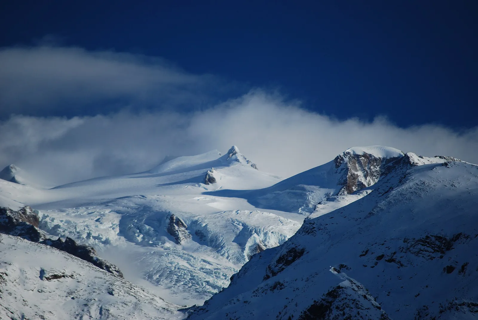
From the village of Blanchard (1731 m) the trail climbs the Val d'Ayas toward the Rifugio Mezzalama (3009 m), one of the Aosta Valley's historic mountaineering huts, set at the foot of the Castore glacier. At 7.5 km and 1282 m of elevation gain, the E route takes hikers above 3000 metres through a progressively more austere landscape: from the high pastures of Blanchard, the treeline is crossed and the realm of rock and ice begins. The Rifugio Mezzalama, open in summer, is a key staging point for alpinists crossing the Rosa and for those ascending toward Testa Grigia. Descent retraces the ascent. Short season: July–September. Near the destination, terrain may be glacial.
Estacionamento
Galeria de fotos
Photos are published immediately. JPG/PNG/WebP, max 6 MB.
Flora do trilho
Fauna para observar
AEditado e verificado por Andrea Rama
Fonte dos dados: Catasto Sentieri Regione Autonoma VdA · Open data — DGR 899/2014
Última verificação:
Val d'Ayas
Trilhos relacionados
Mesmo vale ou percursos semelhantes — mais caminhadas para descobrir.

Val d'Ayas
Amponey - Becca Trecare
A demanding EE ascent from Amponey to Becca Trecare at 3032m — nearly 1500m of gain on varied terrain with sweeping summit views.

Val d'Ayas
Amponey - Alpe Mascognaz
1.8 km · +309 m · E — from Amponey to Alpe Mascognaz (Central Valley).

Val d'Ayas
Amponey - Bec de Nannaz
In the Val d'Ayas, Ayas: an E-rated climb toward a high-altitude objective through pastures and rock with views of Monte Rosa.

Val d'Ayas
Amponey - Mont Facebelle
In the Val d'Ayas, Ayas: an E/EE-rated climb toward a high-altitude objective in the alpine landscape.