Lacs Djouan - Col Manteau
2.3 km
+271 m
−0 m
1.5 h
Nível físico
Mapa e percurso
Traço GPX — verifique no terreno antes de caminhar
Descrição
Pontos-chave
Partida
Lacs Djouan · 2535 m
Chegada
Col Manteau · 2804 m
Trilho
S6
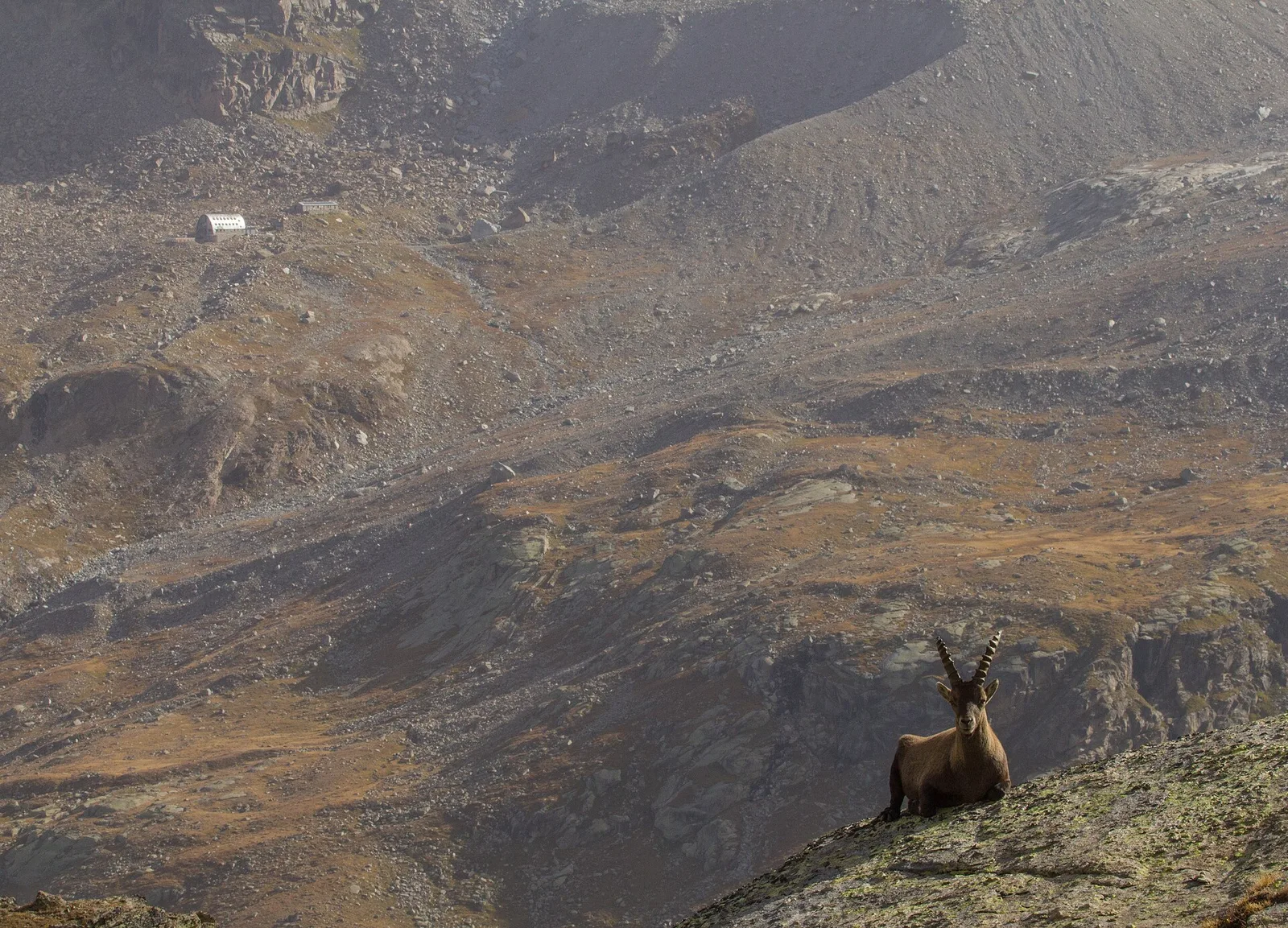
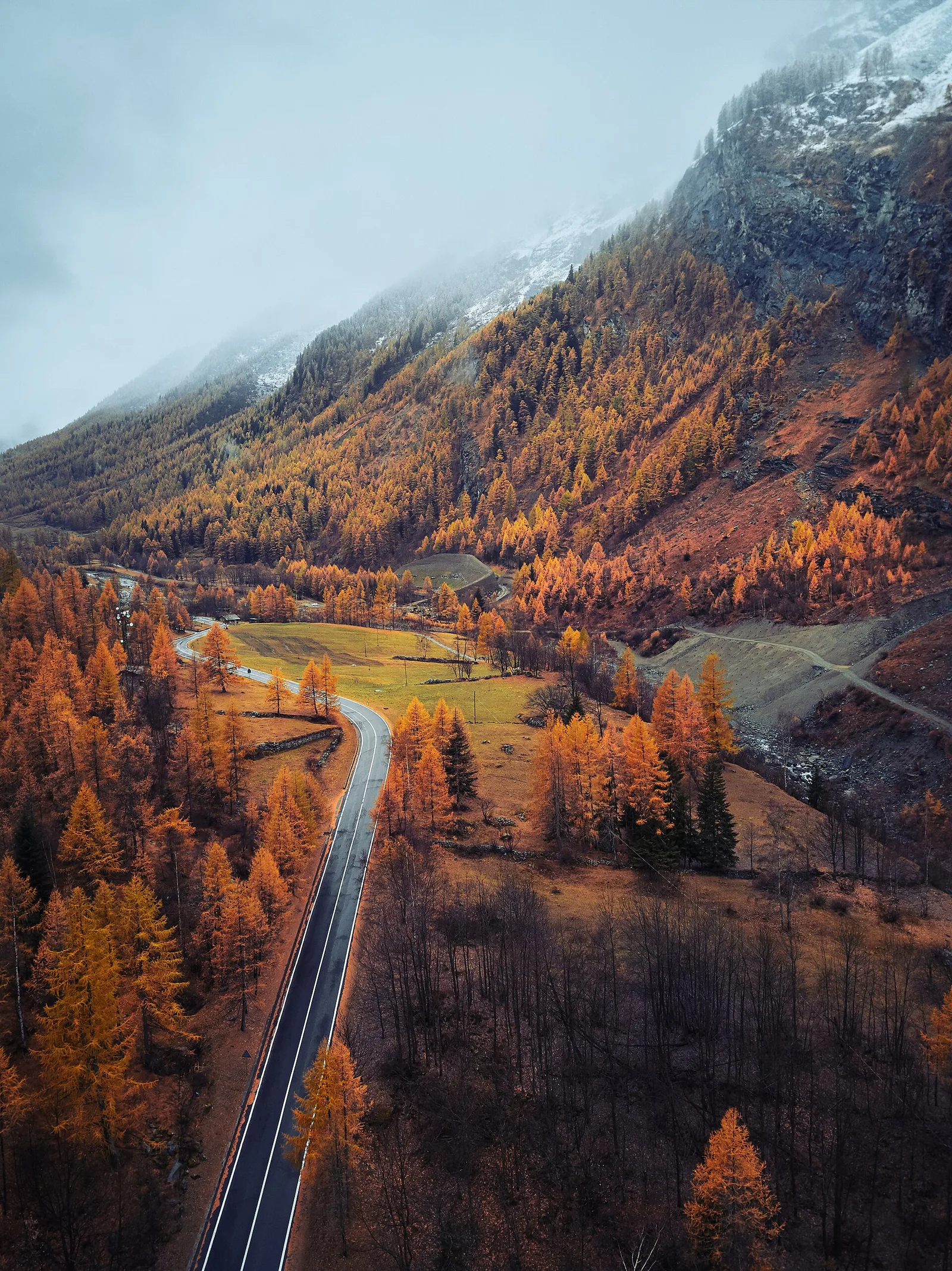
Lacs Djouan - Col Manteau is an official trail from the Aosta Valley trail registry (code 70_S6). The route lies in the municipality of Verrès, in the Ayas Valley. From Lacs Djouan (2535 m) to Col Manteau (2804 m): 2.3 km with +271 m of elevation change, difficulty E (CAI scale). Minimum elevation 2535 m, maximum 2804 m. Recommended season per registry: Luglio-agosto (months 7, 8). GPX track and elevation data from Regione Autonoma Valle d'Aosta (open data DGR 899/2014).
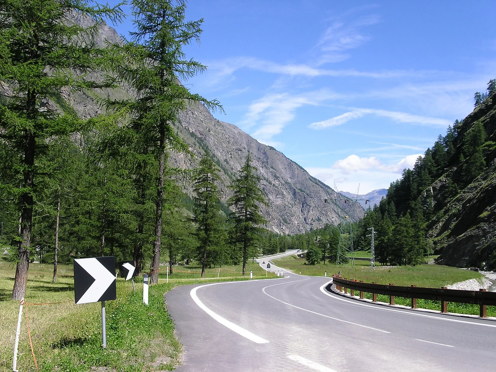
Estacionamento
Galeria de fotos
Photos are published immediately. JPG/PNG/WebP, max 6 MB.
Flora do trilho
AEditado e verificado por Andrea Rama
Fonte dos dados: Catasto Sentieri Regione Autonoma VdA · Open data — DGR 899/2014
Última verificação:
Valsavarenche
Trilhos relacionados
Mesmo vale ou percursos semelhantes — mais caminhadas para descobrir.
Valsavarenche
Degioz - Bocconère
2.5 km · +549 m · E — from Degioz to Bocconère (Ayas Valley).
Valsavarenche
Degioz - Orvieille (Pavillon royal de chasse)
5.9 km · +637 m · E — from Degioz to Orvieille (Pavillon royal de chasse) (Ayas Valley).
Valsavarenche
Eaux Rousses - Col Loson
12.4 km · +1644 m · E — from Eaux-Rousses to Col Loson (Ayas Valley).
Valsavarenche
Fenille - Bois de Clin - Degioz
5.1 km · +233 m · T — from Fenille to Degioz (Ayas Valley).