Rifugio Barbustel - Col de Mézove
5.2 km
+468 m
−0 m
2.5 h
Nível físico
Mapa e percurso
Traço GPX — verifique no terreno antes de caminhar
Descrição
Pontos-chave
Partida
Rifugio Barbustel · 2200 m
Chegada
Col de Mézove · 2613 m
Trilho
S10
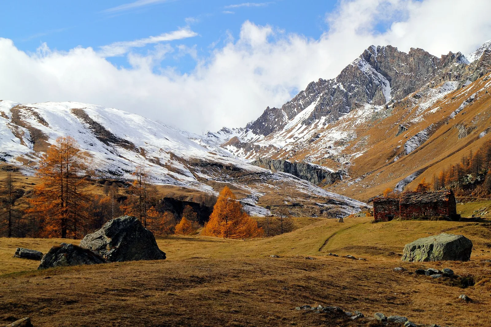
Setting out from Rifugio Barbustel (2200 m) above Charvensod near Aosta, this 5.2 km trail climbs 468 m to Col de Mézove (2613 m). The entire route unfolds above the treeline in a high-alpine landscape of nardus grassland, rhododendron and bilberry heath, and glacier-polished bedrock. Unobstructed views extend over Aosta, the central valley and the surrounding ridgelines from Monte Emilius to the Gran Combin group. Graded E, the route calls for proper mountain gear and awareness of rapidly changing weather at altitude. Season: July to September.
Estacionamento
Galeria de fotos
Photos are published immediately. JPG/PNG/WebP, max 6 MB.
Flora do trilho
AEditado e verificado por Andrea Rama
Fonte dos dados: Catasto Sentieri Regione Autonoma VdA · Open data — DGR 899/2014
Última verificação:
Valle di Champorcher
Trilhos relacionados
Mesmo vale ou percursos semelhantes — mais caminhadas para descobrir.

Valle di Champorcher
Barche - Plan Clavalité - Grand Alpe
13.9 km · +1540 m · E — from Barche to Grand Alpe (Lys Valley).

Valle di Champorcher
Castagnot - Col de Pofouey
3.8 km · +903 m · E — from Castagnot to Colle d'Arcomy (Central Valley).

Valle di Champorcher
Champorcher - Col de la Fricolla
8.8 km · +1350 m · EE — from Champorcher to Col de la Fricolla (Valtournenche).

Valle di Champorcher
Champorcher - Col Laris
10.1 km · +1406 m · E — from Champrocher to Col Laris (Valtournenche).