Orbeillaz - Col Tzecore
3 km
+493 m
−0 m
2 h
Nível físico
Mapa e percurso
Traço GPX — verifique no terreno antes de caminhar
Descrição
Pontos-chave
Partida
Orbeillaz · 1119 m
Chegada
Col Tzecore · 1612 m
Trilho
S25
From Orbeillaz (1119 m) in Val d'Ayas, this short but steep route covers 3 km with 493 m of ascent to Col Tzecore (1612 m). The trail moves quickly from valley-floor meadows and rural hamlets into mixed woodland before reaching the quiet col. Despite its modest length, the sustained gradient makes it a genuine workout. The pass itself is unhurried and off the beaten track, offering rewarding views without the crowds. Suitable for hikers with some experience; accessible in good conditions from late spring to autumn.
Estacionamento
Galeria de fotos
Photos are published immediately. JPG/PNG/WebP, max 6 MB.
Flora do trilho
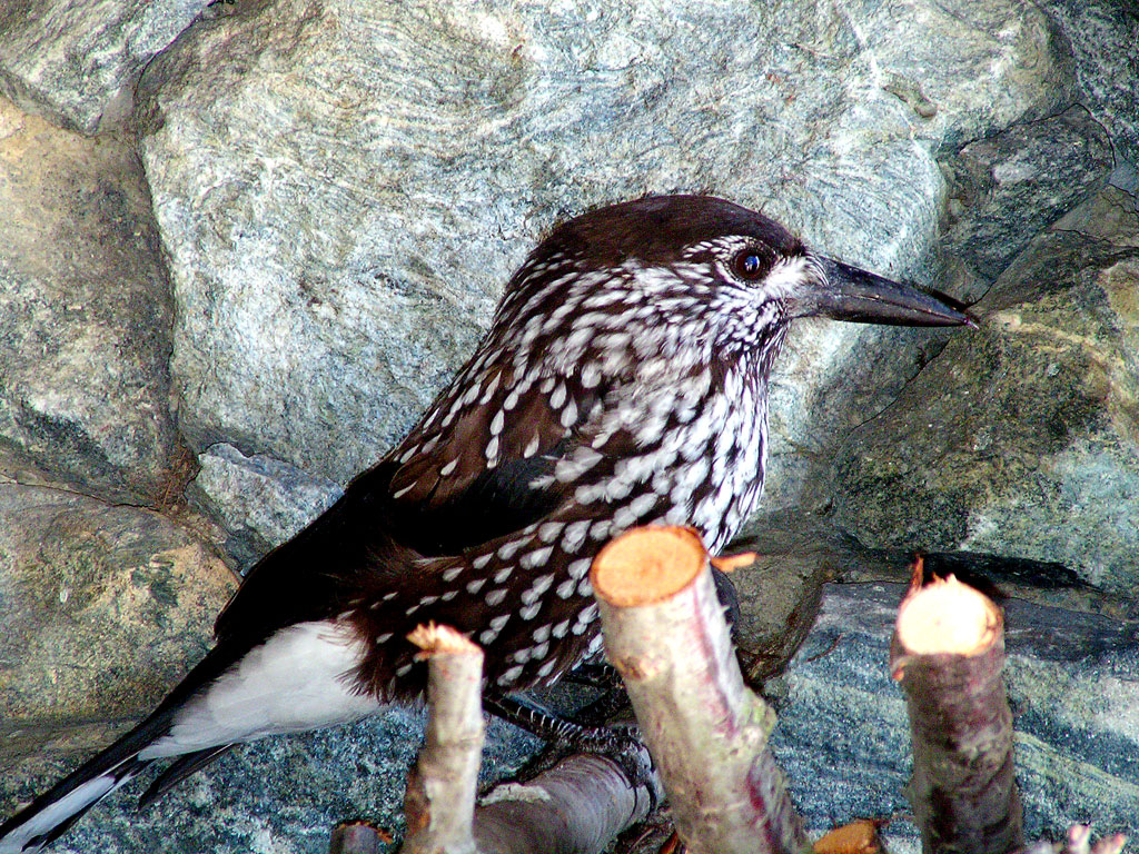
Fauna para observar
AEditado e verificado por Andrea Rama
Fonte dos dados: Catasto Sentieri Regione Autonoma VdA · Open data — DGR 899/2014
Última verificação:
Val d'Ayas
Trilhos relacionados
Mesmo vale ou percursos semelhantes — mais caminhadas para descobrir.

Val d'Ayas
Amponey - Becca Trecare
A demanding EE ascent from Amponey to Becca Trecare at 3032m — nearly 1500m of gain on varied terrain with sweeping summit views.

Val d'Ayas
Amponey - Alpe Mascognaz
1.8 km · +309 m · E — from Amponey to Alpe Mascognaz (Central Valley).

Val d'Ayas
Amponey - Bec de Nannaz
In the Val d'Ayas, Ayas: an E-rated climb toward a high-altitude objective through pastures and rock with views of Monte Rosa.

Val d'Ayas
Amponey - Mont Facebelle
In the Val d'Ayas, Ayas: an E/EE-rated climb toward a high-altitude objective in the alpine landscape.