Vieyes - Col de Becca Plana
Avisos
- In fog the path across pastures and boulder fields can be hard to follow: rely on waymarks and a map.
- Always check the forecast before setting out: mountain weather changes fast and summer afternoon storms are common.
4.7 km
+1157 m
−0 m
4 h
Nível físico
Mapa e percurso
Traço GPX — verifique no terreno antes de caminhar
Descrição
Pontos-chave
Partida
Vieyes · 1149 m
Chegada
Col de Becca Plana · 2266 m
Trilho
S24
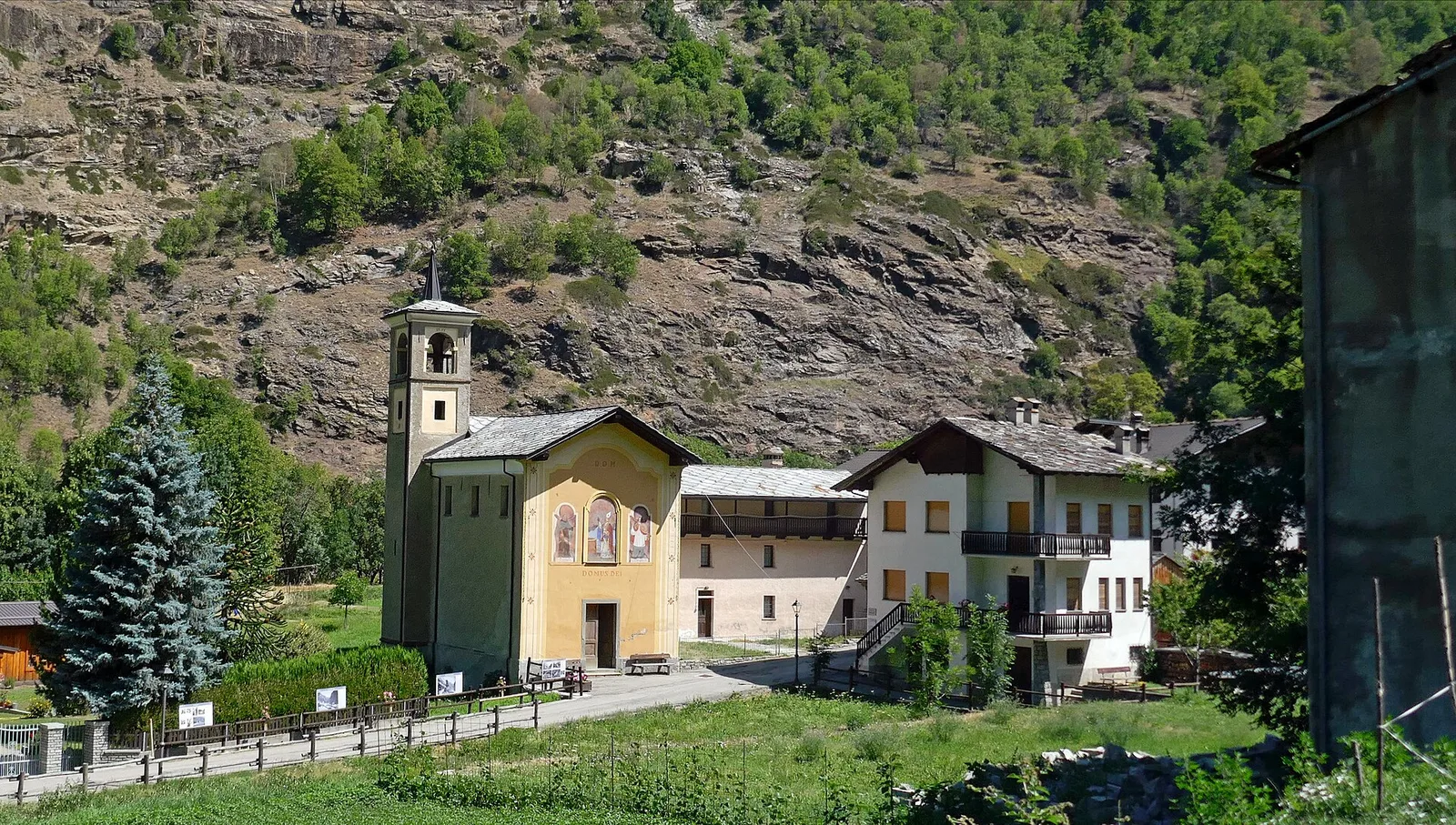
A short but steep path that climbs from the village of Vieyes, at 1,149 metres at the mouth of the Cogne valley, to Col de Becca Plana, at 2,266 metres. In under five kilometres it gains more than eleven hundred metres of height: the gradient is sustained and constant, on a hiking route that soon leaves the conifer wood for the pastures and grassy slopes higher up. The col opens the view onto the surrounding slopes and the Aosta basin, and makes a good objective for those seeking an intense workout in quiet, little-frequented surroundings. Four cadastre signposts mark the main points. Walk it with footwear suited to the gradient; best from summer to autumn.
Estacionamento
Galeria de fotos
Photos are published immediately. JPG/PNG/WebP, max 6 MB.
Fauna para observar
AEditado e verificado por Andrea Rama
Fonte dos dados: Catasto Sentieri Regione Autonoma VdA · Open data — DGR 899/2014
Última verificação:
Valle centrale
Trilhos relacionados
Mesmo vale ou percursos semelhantes — mais caminhadas para descobrir.

Valle centrale
Anello del Verrand
2.6 km · +233 m · E — from Château Verrand to Château Verrand (Rhêmes Valley).

Valle centrale
Area giochi Croux - Parleyaz
4.1 km · +476 m · E — from Area giochi Croux to Parleyaz (Central Valley).

Valle centrale
Arlier - Cloutraz (Pontey)
From Arlier (603m) to Cloutraz (1067m) on the Châtillon hillside: 3.5 km E through vineyards, woodland and views over the Dora Baltea.

Valle centrale
Arpilles - Champromenty
2.1 km · +333 m · E — from Arpilles to Champromenty (Lys Valley).