Ru Courtaud
5.9 km
+0 m
−174 m
2 h
Nível físico
Mapa e percurso
Traço GPX — verifique no terreno antes de caminhar
Descrição
Pontos-chave
Partida
Parcheggio Barmasc · 1898 m
Chegada
Inizio pista · 1893 m
Trilho
S21
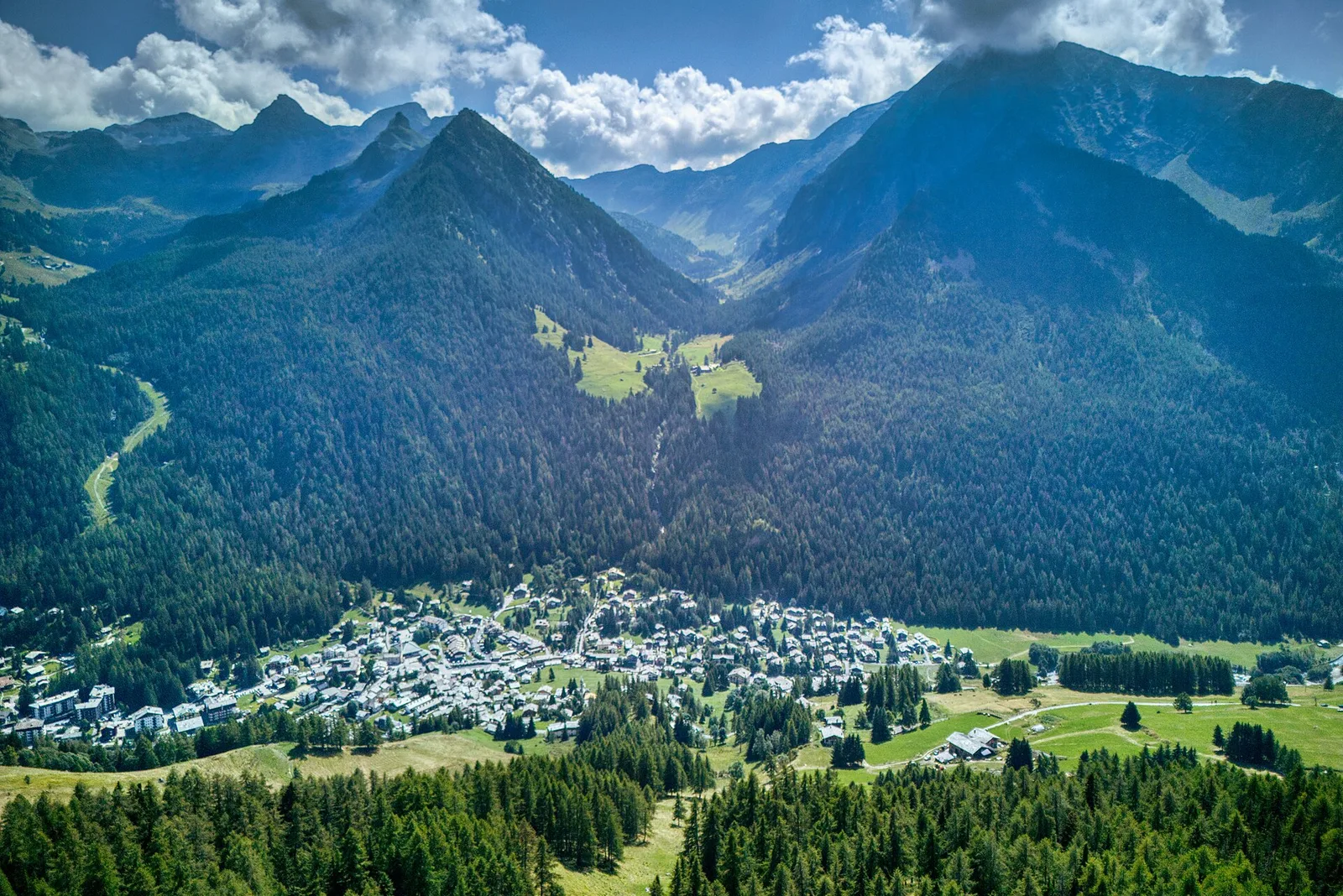
Trail following the Ru Courtaud, a historic irrigation channel cut centuries ago to bring water to the villages of Avise, at around 1900 m altitude. The 5.9 km route between Barmasc (1898 m) and the track start (1893 m) is nearly flat — just 5 m of descent — making it one of the few genuinely easy high-altitude walks in the Aosta Valley. Rated T (tourist), it is suitable for families and all fitness levels. The channel itself, threading through flower meadows and conifer forest, is a testament to traditional mountain engineering.
Estacionamento
Galeria de fotos
Photos are published immediately. JPG/PNG/WebP, max 6 MB.
Fauna para observar
AEditado e verificado por Andrea Rama
Fonte dos dados: Catasto Sentieri Regione Autonoma VdA · Open data — DGR 899/2014
Última verificação:
Val d'Ayas
Trilhos relacionados
Mesmo vale ou percursos semelhantes — mais caminhadas para descobrir.

Val d'Ayas
Amponey - Becca Trecare
A demanding EE ascent from Amponey to Becca Trecare at 3032m — nearly 1500m of gain on varied terrain with sweeping summit views.

Val d'Ayas
Amponey - Alpe Mascognaz
1.8 km · +309 m · E — from Amponey to Alpe Mascognaz (Central Valley).

Val d'Ayas
Amponey - Bec de Nannaz
In the Val d'Ayas, Ayas: an E-rated climb toward a high-altitude objective through pastures and rock with views of Monte Rosa.

Val d'Ayas
Amponey - Mont Facebelle
In the Val d'Ayas, Ayas: an E/EE-rated climb toward a high-altitude objective in the alpine landscape.