Blanchard - Colle Inferiore Cime Bianche
Avisos
- EE section: high-mountain experience required.
- Residual snow in the valley until mid-July.
8 km
+1167 m
−0 m
5 h
Nível físico
Mapa e percurso
Traço GPX — verifique no terreno antes de caminhar
Descrição
Pontos-chave
Partida
Blanchard · 1731 m
Chegada
Colle Inferiore Cime Bianche · 2892 m
Trilho
S25
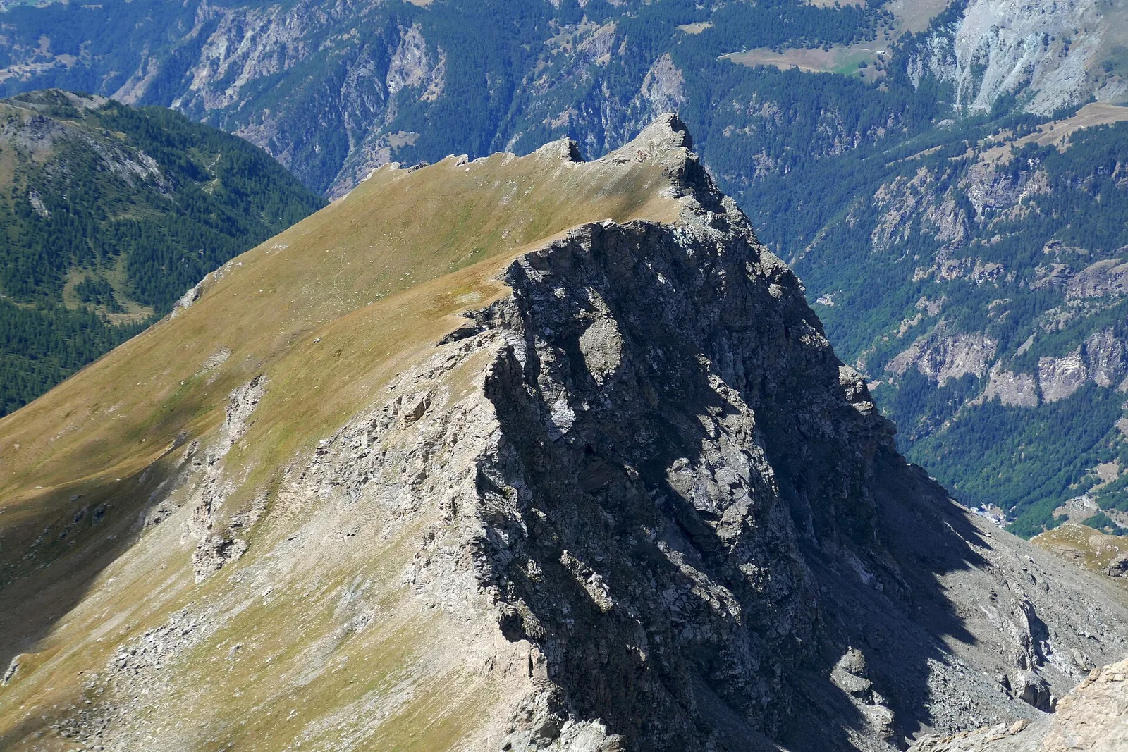
The route from Blanchard to the Colle Inferiore delle Cime Bianche leads into the heart of the Vallone delle Cime Bianche, one of the most pristine high-mountain environments in Val d'Ayas. The walk starts at Blanchard (1731 m). With 1167 m of ascent over 8 km, the route is long and demands fitness. The path climbs the valley on the left orographic side, alternating meadow, wetland, small lakes and rockier terrain. The Colle Inferiore delle Cime Bianche (2892 m) separates Val d'Ayas from Valtournenche. The area is in the Natura 2000 network. The EE rating reflects the high altitude and demanding terrain in the final section.
Estacionamento
Galeria de fotos
Photos are published immediately. JPG/PNG/WebP, max 6 MB.
Flora do trilho
AEditado e verificado por Andrea Rama
Fonte dos dados: Catasto Sentieri Regione Autonoma VdA · Open data — DGR 899/2014
Última verificação:
Valtournenche
Trilhos relacionados
Mesmo vale ou percursos semelhantes — mais caminhadas para descobrir.

Valtournenche
Anello Area sportiva-Fiernaz-Area sportiva
2.9 km · +28 m · T — from Area sportiva to Area sportiva (Valtournenche).

Valtournenche
Anello dei Villaggi di Antey ( Ruvère, Liesse,Fontaney, Villettaz)
A loop through the sunlit hamlets of Antey and Torgnon: traditional Aosta Valley architecture, vineyards and mid-mountain forest, 5.2 km from Ruvère.

Valtournenche
Anello di Champlève
1.9 km · +140 m · E — from Champlève to Champlève (Central Valley).

Valtournenche
Area Pic Nic Champlong - Becca d'Aver e Cima Longhede
6.4 km · +913 m · E — from Area Pic Nic Champlong to Cima Longhede (Valsavarenche).