Blanchard - Bivacco Mariano - Lago Tzère
9 km
+1136 m
−0 m
5 h
Nível físico
Mapa e percurso
Traço GPX — verifique no terreno antes de caminhar
Descrição
Pontos-chave
Partida
Blanchard · 1731 m
Chegada
Lago Tzère · 2870 m
Trilho
S26
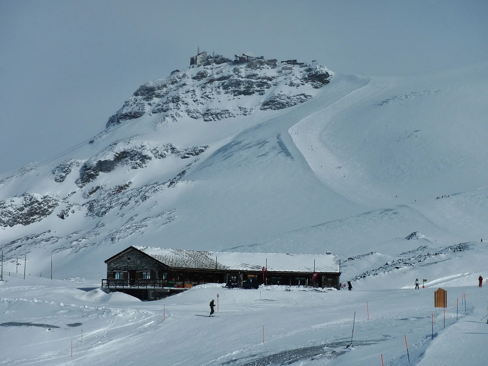
A long, atmospheric route that climbs from Blanchard, at 1,731 metres on the Val d'Ayas hillside, to Lake Tzère, a high-altitude mirror at 2,870 metres, touching the Mariano bivouac along the way. Nine kilometres and more than eleven hundred metres of ascent, on experienced-hiker terrain: the woods are soon left behind for high pastures, moraines and the scree that precedes the lake. The bivouac offers a base in a secluded, little-visited corner of the valley, while the lake, set among the rocks, gives the stillness typical of high glacial basins. Walk it with trained legs and an eye on the weather, since afternoon storms are common at altitude; best in summer, once the snowfields have melted.
Estacionamento
Galeria de fotos
Photos are published immediately. JPG/PNG/WebP, max 6 MB.
Flora do trilho
Fauna para observar
AEditado e verificado por Andrea Rama
Fonte dos dados: Catasto Sentieri Regione Autonoma VdA · Open data — DGR 899/2014
Última verificação:
Val d'Ayas
Trilhos relacionados
Mesmo vale ou percursos semelhantes — mais caminhadas para descobrir.

Val d'Ayas
Amponey - Becca Trecare
A demanding EE ascent from Amponey to Becca Trecare at 3032m — nearly 1500m of gain on varied terrain with sweeping summit views.

Val d'Ayas
Amponey - Alpe Mascognaz
1.8 km · +309 m · E — from Amponey to Alpe Mascognaz (Central Valley).

Val d'Ayas
Amponey - Bec de Nannaz
In the Val d'Ayas, Ayas: an E-rated climb toward a high-altitude objective through pastures and rock with views of Monte Rosa.

Val d'Ayas
Amponey - Mont Facebelle
In the Val d'Ayas, Ayas: an E/EE-rated climb toward a high-altitude objective in the alpine landscape.