Rifugio Prarayer - Rifugio Aosta
Avisos
- EEA: glacial equipment mandatory (harness, ice axe, crampons).
- Not suitable for non-experts. Check conditions before departure.
 1 / 2
1 / 27.3 km
+797 m
−0 m
4 h
Nível físico
Mapa e percurso
Traço GPX — verifique no terreno antes de caminhar
Descrição
Pontos-chave
Partida
Rifugio Prarayer · 2002 m
Chegada
Rifugio Aosta · 2790 m
Trilho
S15
Linking Rifugio Prarayer at 2002 m to Rifugio Aosta at 2790 m in the upper Valpelline, this 7.3 km route gains 797 m and is rated EEA — Expert Hiking with Equipment. Harness, ice axe, and crampons are required for the glacial and snow sections in the upper portion. The terrain crosses moraines, persistent snowfields, and equipped rock passages. The high Valpelline remains under alpine conditions well into summer due to hanging glaciers and granite walls. Check route conditions before departure. Not suitable for inexperienced parties.
Estacionamento
Refúgios e abrigos
Galeria de fotos
Photos are published immediately. JPG/PNG/WebP, max 6 MB.
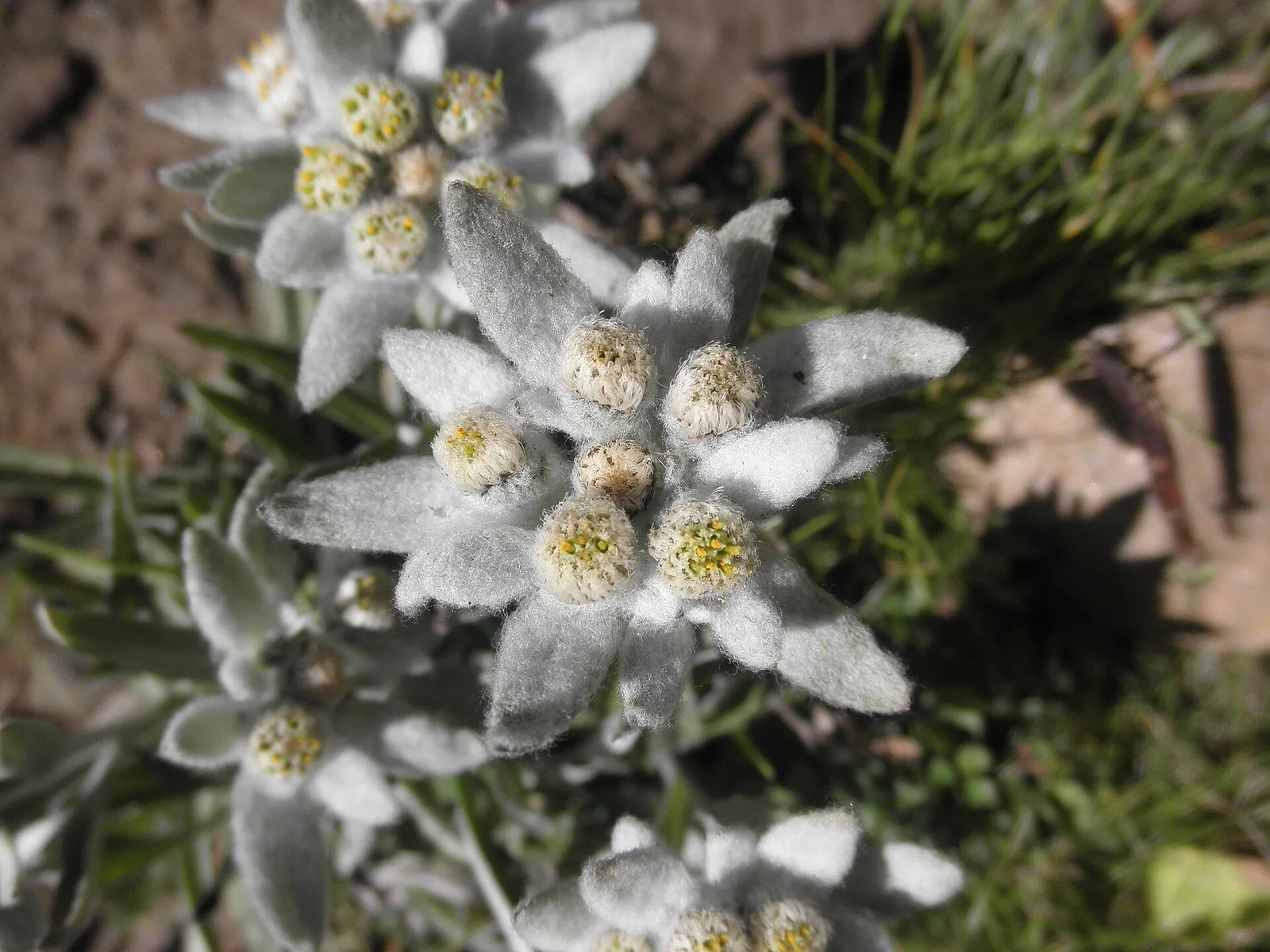
Flora do trilho
AEditado e verificado por Andrea Rama
Fonte dos dados: Catasto Sentieri Regione Autonoma VdA · Open data — DGR 899/2014
Última verificação:
Valpelline
Trilhos relacionados
Mesmo vale ou percursos semelhantes — mais caminhadas para descobrir.

Valpelline
Bionaz (Plan Praz) - Place Moulin
Upper Valpelline, Bionaz: an E-rated route toward a glacial objective over open terrain.

Valpelline
Chamin - Bivacco della Sassa
From Chamin (1,732 m) to the Bivacco della Sassa (2,964 m) in the quiet Valpelline: 7.1 km and 1,246 m of ascent.

Valpelline
Champillon - Rifugio Letey - Col Champillon
3.1 km · +643 m · E — from Champillon to Col Champillon (Valtournenche).

Valpelline
Chanté - Mont Saron
From Allein toward Valpelline across the panoramic ridge between the two valleys: an E-rated route over open pastures with views of the Gran San Bernardo.