Arcésaz - Brusson (Guillattes)
3.6 km
+143 m
−0 m
1.5 h
Nível físico
Mapa e percurso
Traço GPX — verifique no terreno antes de caminhar
Descrição
Pontos-chave
Partida
Arcesaz · 1133 m
Chegada
Strada regionale 33 nei pressi del torrente Evançon · 1276 m
Trilho
S2
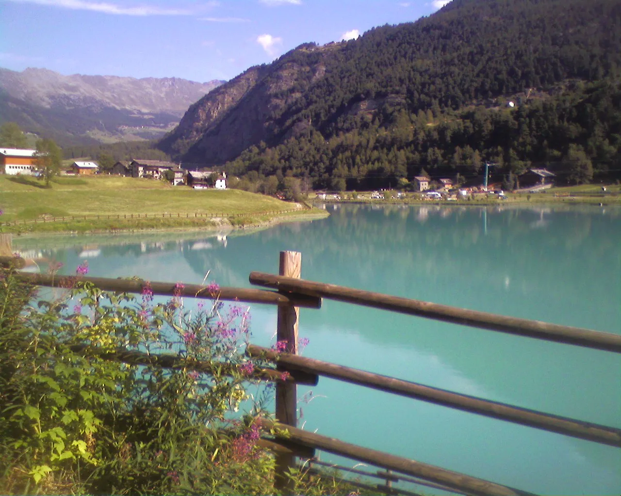
The walk from Arcésaz to Brusson is a valley-floor stroll in the Val d'Ayas, rated T (Tourist), ideal for those seeking a simple, accessible itinerary. The walk starts at Arcésaz (1133 m), the first hamlet encountered entering the Brusson commune from the regional road from Verrès. The route descends gently along paths and minor tracks, partly following the ru d'Arlaz irrigation canal, set within mid-slope vegetation with views of surrounding hamlets and woodland. The path passes through Ponteil and Plan de Servaz, through the Guillates fitness trail, arriving near Brusson (1276 m). The 3.6 km and modest 143 m make this suited to all users including families with young children.
Estacionamento
Galeria de fotos
Photos are published immediately. JPG/PNG/WebP, max 6 MB.
Flora do trilho
Fauna para observar
AEditado e verificado por Andrea Rama
Fonte dos dados: Catasto Sentieri Regione Autonoma VdA · Open data — DGR 899/2014
Última verificação:
Val d'Ayas
Trilhos relacionados
Mesmo vale ou percursos semelhantes — mais caminhadas para descobrir.

Val d'Ayas
Amponey - Becca Trecare
A demanding EE ascent from Amponey to Becca Trecare at 3032m — nearly 1500m of gain on varied terrain with sweeping summit views.

Val d'Ayas
Amponey - Alpe Mascognaz
1.8 km · +309 m · E — from Amponey to Alpe Mascognaz (Central Valley).

Val d'Ayas
Amponey - Bec de Nannaz
In the Val d'Ayas, Ayas: an E-rated climb toward a high-altitude objective through pastures and rock with views of Monte Rosa.

Val d'Ayas
Amponey - Mont Facebelle
In the Val d'Ayas, Ayas: an E/EE-rated climb toward a high-altitude objective in the alpine landscape.