Pont de Messuere - lago Bringuez - Corno Bussola
Avisos
- EE: exceptional elevation gain, difficult terrain in upper section.
- Residual snow at lake and summit until late June.
6.4 km
+1593 m
−0 m
5.5 h
Nível físico
Mapa e percurso
Traço GPX — verifique no terreno antes de caminhar
Descrição
Pontos-chave
Partida
Pont de Messuere · 1425 m
Chegada
Corno Boussolaz · 3023 m
Trilho
S8
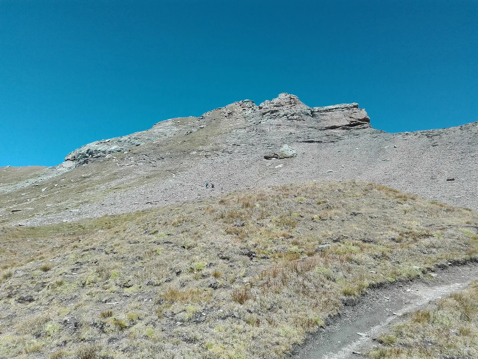
From Pont de Messuere (1425 m) the trail climbs toward the Corno Boussolaz (3023 m) via Lago Bringuez, gaining 1593 m over 6.4 km — one of the most sustained gradients among EE-rated trails in the Aosta Valley registry. Lago Bringuez at intermediate altitude is a glacial lake marking the transition from mid-mountain to high-alpine terrain. The Corno Boussolaz, a summit above 3000 m, offers a wide panorama across the alpine system between Val d'Ayas and the Swiss ridges. Season: June–September; stable conditions essential.
Estacionamento
Galeria de fotos
Photos are published immediately. JPG/PNG/WebP, max 6 MB.
Flora do trilho
Fauna para observar
AEditado e verificado por Andrea Rama
Fonte dos dados: Catasto Sentieri Regione Autonoma VdA · Open data — DGR 899/2014
Última verificação:
Val d'Ayas
Trilhos relacionados
Mesmo vale ou percursos semelhantes — mais caminhadas para descobrir.

Val d'Ayas
Amponey - Becca Trecare
A demanding EE ascent from Amponey to Becca Trecare at 3032m — nearly 1500m of gain on varied terrain with sweeping summit views.

Val d'Ayas
Amponey - Alpe Mascognaz
1.8 km · +309 m · E — from Amponey to Alpe Mascognaz (Central Valley).

Val d'Ayas
Amponey - Bec de Nannaz
In the Val d'Ayas, Ayas: an E-rated climb toward a high-altitude objective through pastures and rock with views of Monte Rosa.

Val d'Ayas
Amponey - Mont Facebelle
In the Val d'Ayas, Ayas: an E/EE-rated climb toward a high-altitude objective in the alpine landscape.