
EE
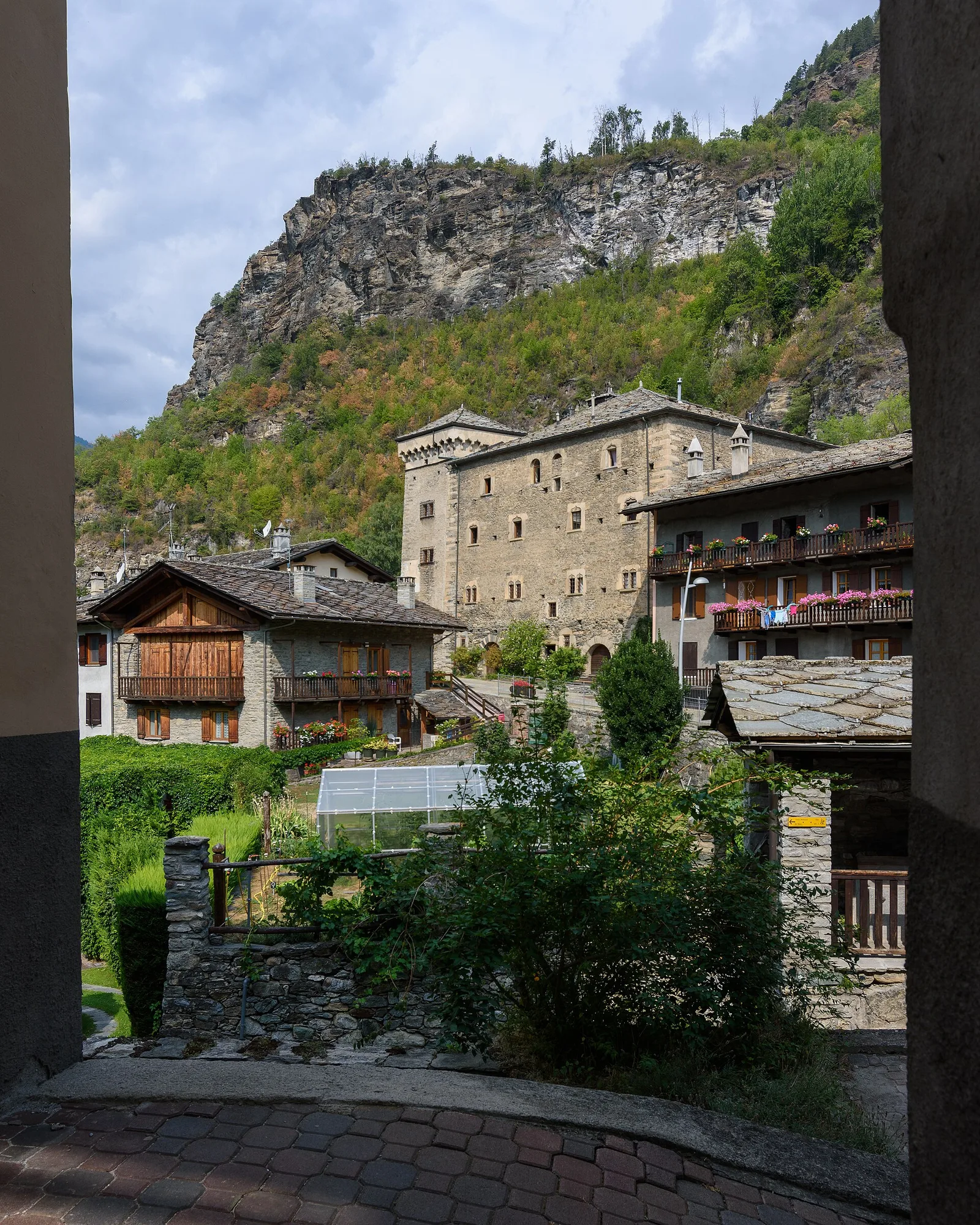
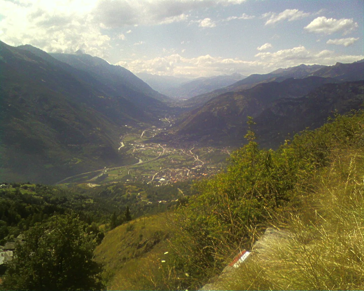
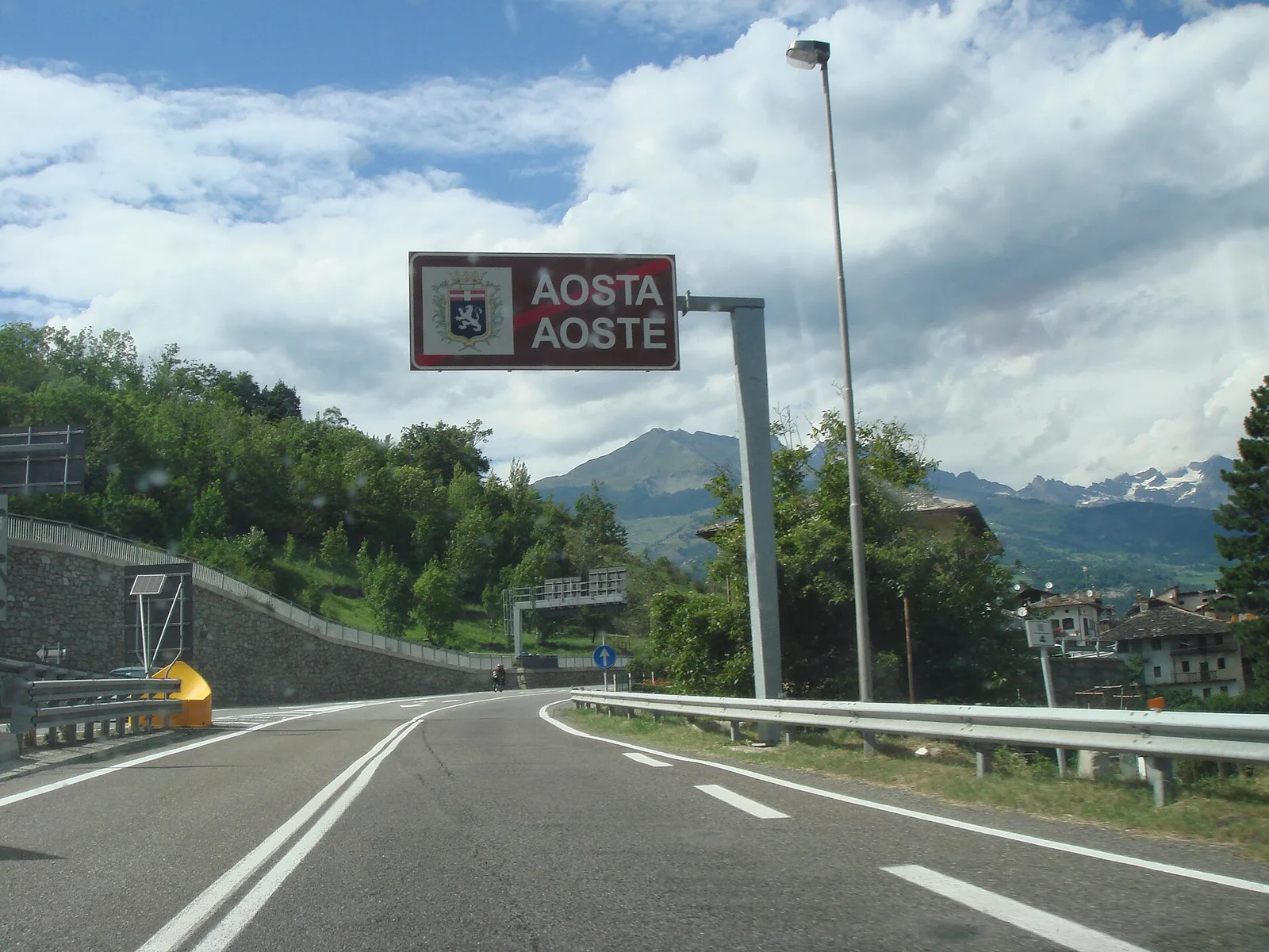
Val d'Ayas
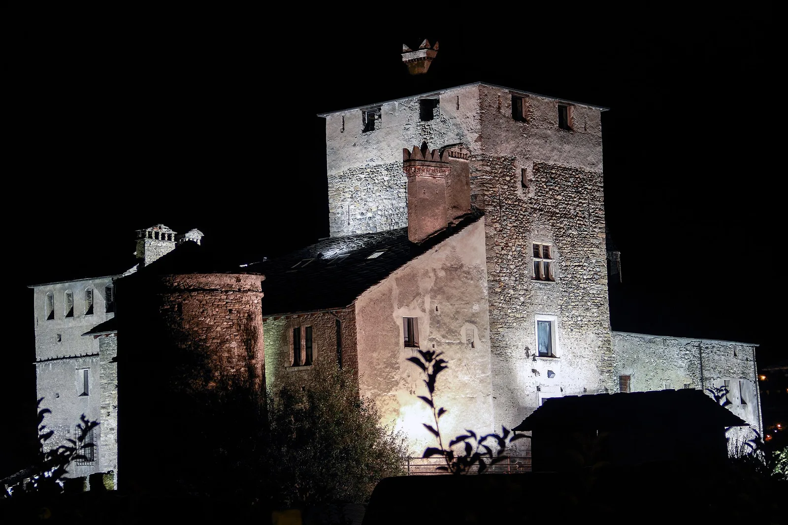
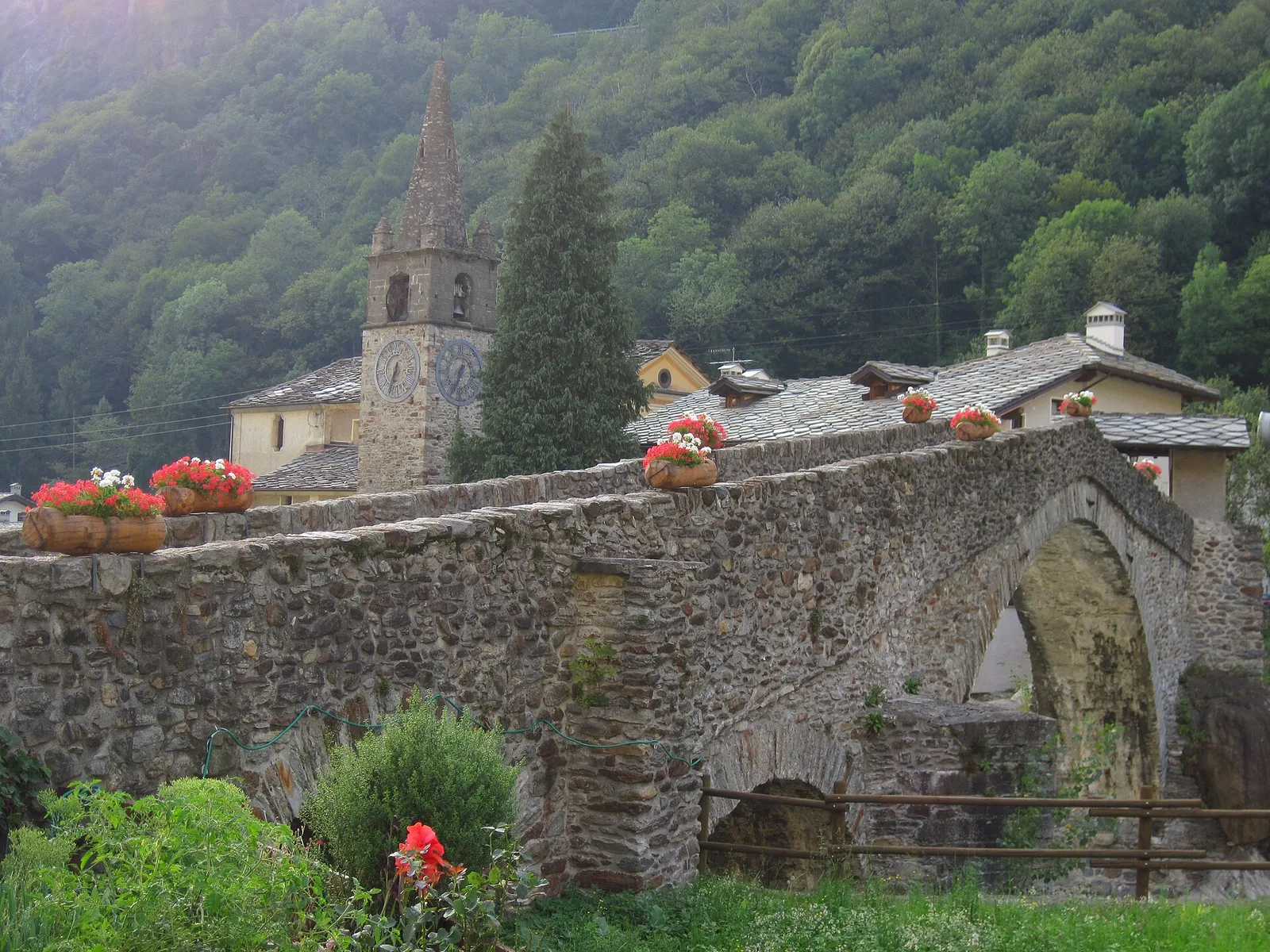
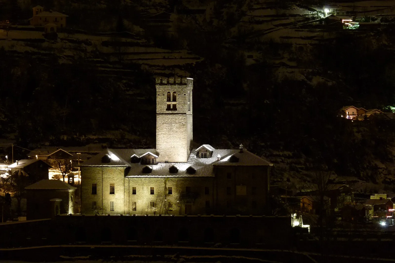
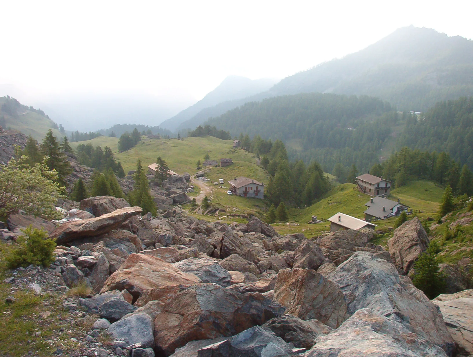
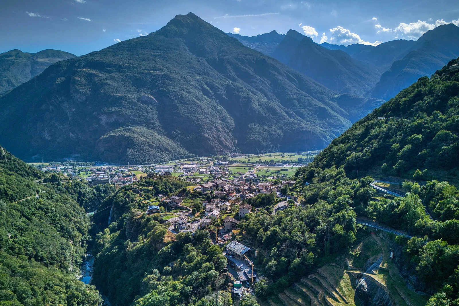
Anello delle gole del torrente Roesaz
9.4 km · +1238 m · EE — from Isollaz to Isollaz (Ayas Valley).
9.4 km+1238 m5.5 h
Where to spot
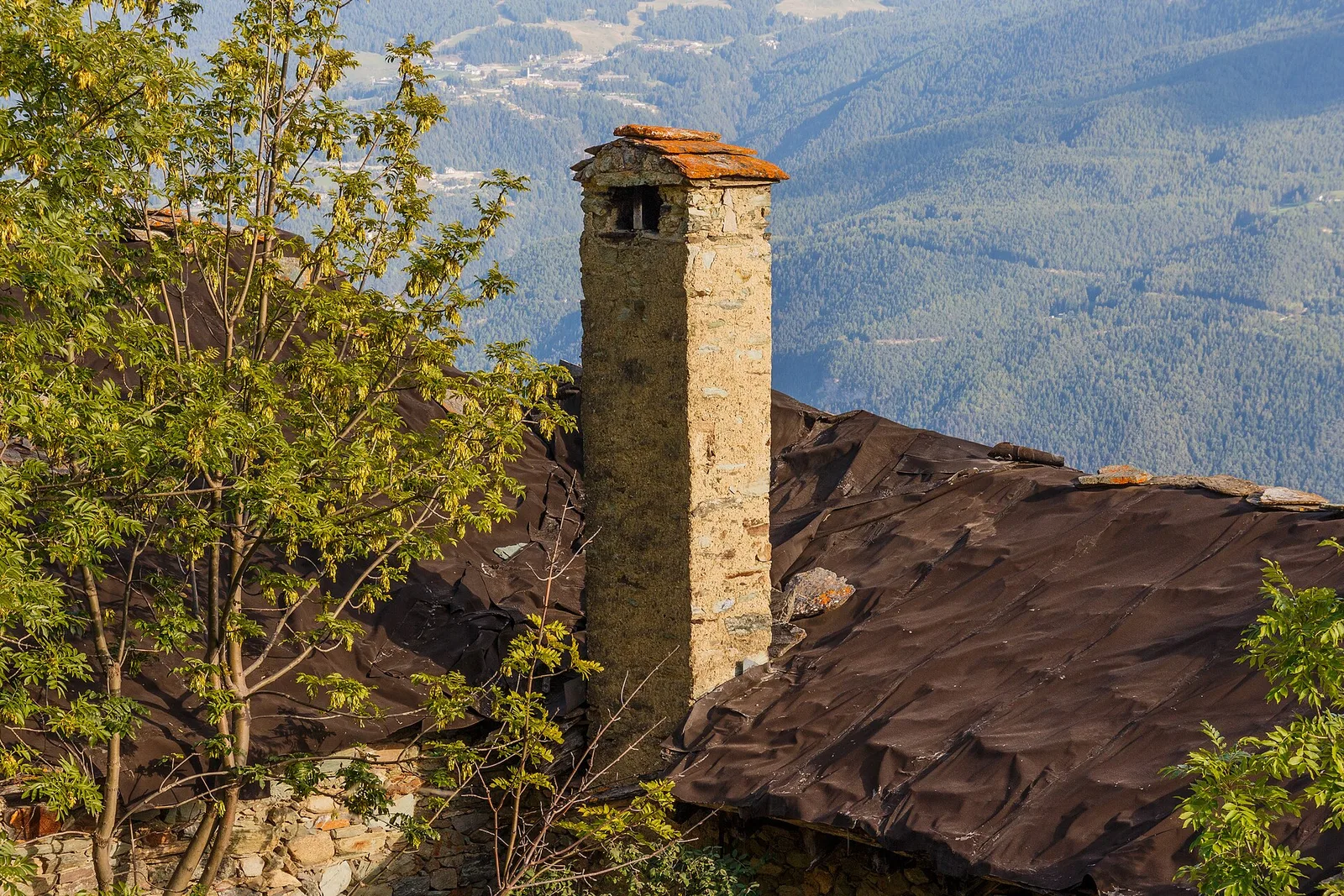
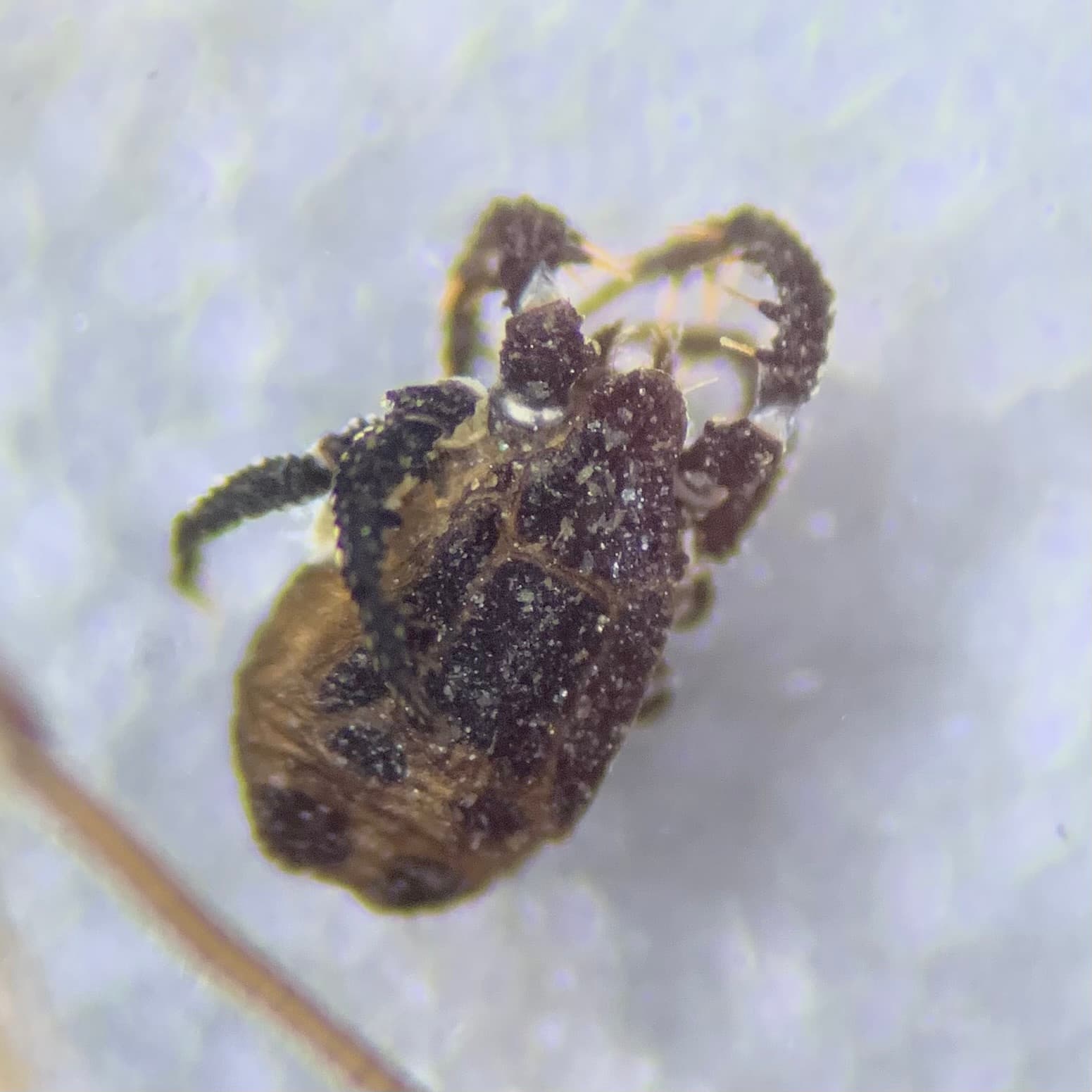
40 trails where Western green lizard is listed in flora/fauna: difficulty T–EE, elevation gain 0–1238 m.
40 · 0.5–15.6 km · +0–1238 m
Val d'Ayas
9.4 km · +1238 m · EE — from Isollaz to Isollaz (Ayas Valley).

Valle centrale
4.1 km · +476 m · E — from Area giochi Croux to Parleyaz (Central Valley).

Valle centrale
From Arlier (603m) to Cloutraz (1067m) on the Châtillon hillside: 3.5 km E through vineyards, woodland and views over the Dora Baltea.
Valle centrale
In the Valdigne, La Salle: an E-rated route through forest and pasture with views of Mont Blanc.
Valle centrale
2.5 km · +390 m · E — from Bachaud to Rumiod la Chapelle (Remiod) (Central Valley).
Valle centrale
From Champsolin to Serignan (1190 m) through terraced vineyards and rural hamlets: the trail that tells the story of Val di Cogne's wine landscape.
Valle centrale
5.2 km · +959 m · E — from Via Chanoux to Promiod (Valdigne).
Valle centrale
4.2 km · +243 m · E — from Chavonne to Pondel (Aymavilles) (Central Valley).
Valle centrale
4.7 km · +821 m · E — from Cort to Charrère (Valsavarenche).
Valpelline
1 km · +107 m · E — from Cretaz to Tour d'Oyace (Lys Valley).
Bassa Valle
3.6 km · +909 m · E — from Croce della Missione to Gias Desot (Valtournenche).
Valle di Champorcher
1.4 km · +297 m · EE — from Echelly to Grand-Rosier (Valtournenche).
Val d'Ayas
0.9 km · +120 m · E — from Erésaz to Ravet (Great St Bernard Valley).

Valle centrale
1.4 km · +164 m · E — from Feilley to Moron (Valtournenche).
Valle centrale
2.7 km · +0 m · E — from Gignod to Ru Bourgeois - Cré (Central Valley).
Valtournenche
1.6 km · +13 m · E — from Grand Moulin to Poutaz (Valtournenche).
Val d'Ayas
3.5 km · +0 m · E — from Grand Rhun to Erésaz (Great St Bernard Valley).
Valle del Lys
4.3 km · +92 m · E — from Capoluogo to Gaby (Ayas Valley).
Bassa Valle
4.2 km · +1074 m · E — from La Clévaz to Plan Fiou (Valsavarenche).
Valle centrale
2 km · +207 m · E — from La Ravoire to Castello di Montmayeur (Valgrisenche).
Valle del Lys
2.3 km · +592 m · E — from Lillianes to Sainte-Marguerite (Central Valley).
Valle centrale
1.5 km · +284 m · E — from Moulin to Plout (Great St Bernard Valley).
Bassa Valle
3.1 km · +639 m · E — from Outrefer to Pourcil (Valtournenche).
Bassa Valle
4.7 km · +579 m · T — from Piazza E.Chanoux to Carogne (Valtournenche).
Valle centrale
3 km · +795 m · E — from Pompiod to Torlin desot (cappella)- Raccordo 38_S6 (Valtournenche).
Bassa Valle
2.2 km · +436 m · E — from Capoluogo to Reserve Naturelle de Holay (Central Valley).
Valle centrale
4.4 km · +0 m · E — from Pré-Saint-Didier to Morgex (Rhêmes Valley).
Val d'Ayas
2.6 km · +308 m · E — from Quinçod to Alésaz (Ayas Valley).
Valle centrale
In the lower Val d'Ayas, Challand-Saint-Victor: an E-rated climb through vineyards, forest and terraced land toward historic hamlets.
Valle centrale
1.6 km · +202 m · E — from Remiod (Rumiod) to Grand Sarriod (Central Valley).
Valpelline
4.9 km · +0 m · E — from Vaud to Châtelair (Valpelline).
Val d'Ayas
1.9 km · +316 m · E — from Sizan to Col d'Arlaz (Ayas Valley).
Valle di Champorcher
15.6 km · +0 m · E — from Crest to Capoluogo (Champorcher Valley).
Valle centrale
3.3 km · +597 m · E — from Terme to Banqueun (Valtournenche).
Valle di Champorcher
0.5 km · +167 m · E — from Terrisse to Attacco Mont Charvatton (Champorcher Valley).
Valle centrale
2.3 km · +394 m · E — from Tiller to Valmianaz (Lys Valley).
Bassa Valle
0.8 km · +0 m · E — from Tour d'Hereraz to Perloz (Central Valley).
Valtournenche
7 km · +702 m · E — from Plau to Plau (Central Valley).
Valpelline
2.5 km · +231 m · E — from Valpelline capoluogo to Crête (Valtournenche).
Valle centrale
1.4 km · +174 m · E — from Villair to Château de Châtelard (Central Valley).