
E
Valle centrale
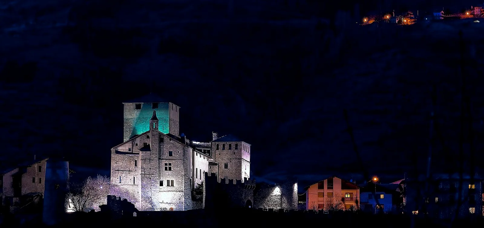
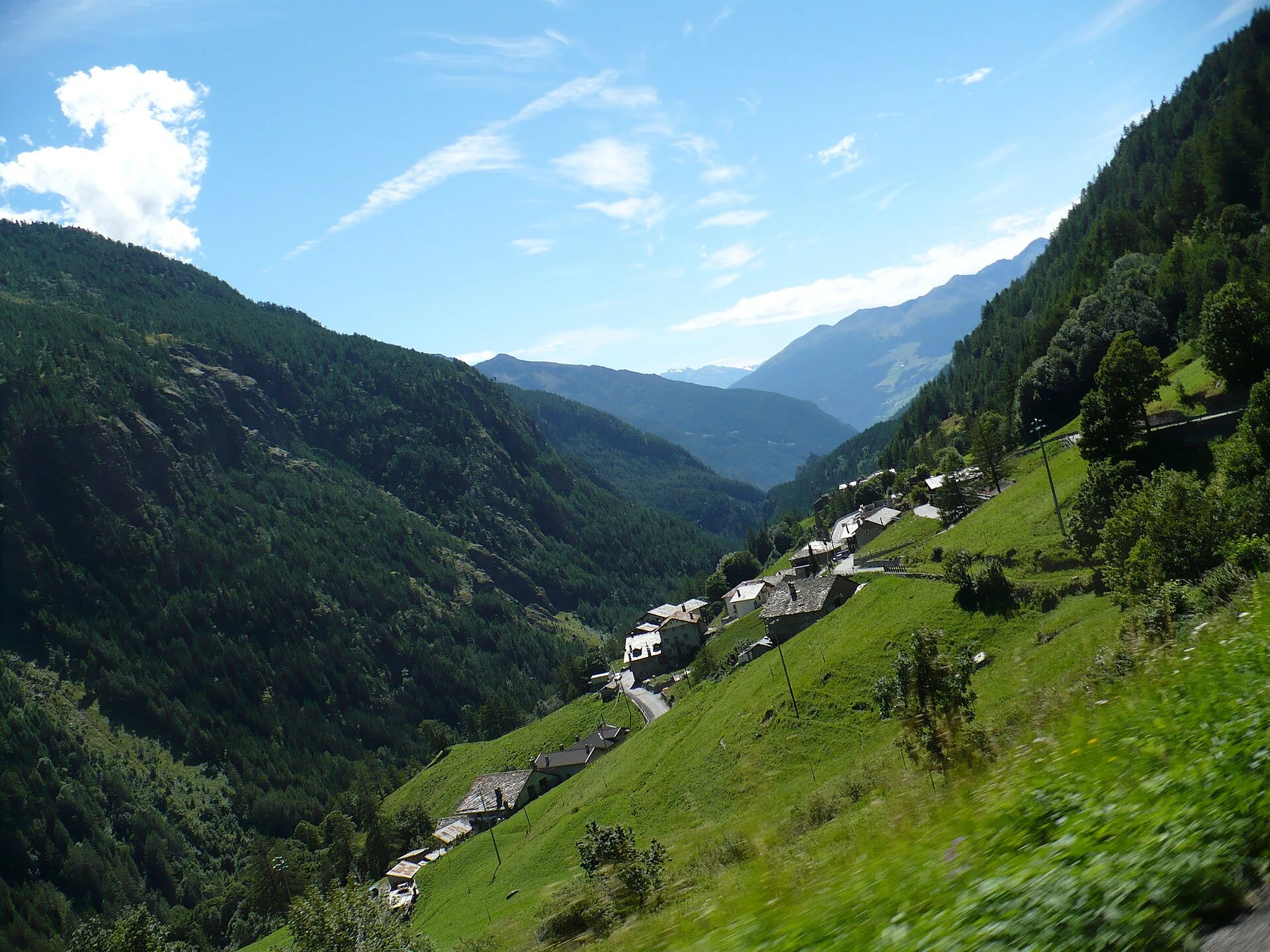
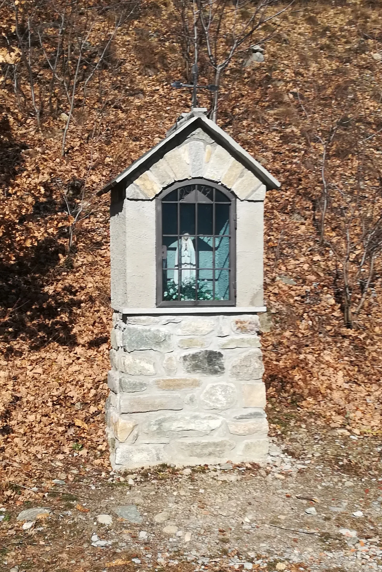
Arlier - Cloutraz (Pontey)
From Arlier (603m) to Cloutraz (1067m) on the Châtillon hillside: 3.5 km E through vineyards, woodland and views over the Dora Baltea.
3.5 km+515 m2 h
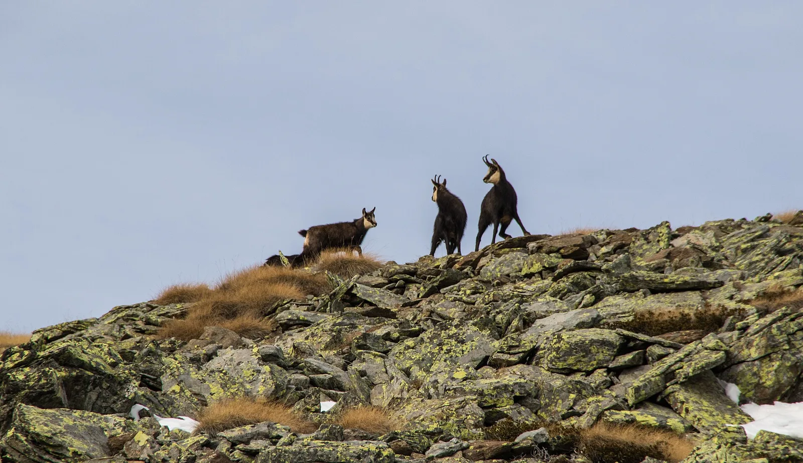
Where to spot
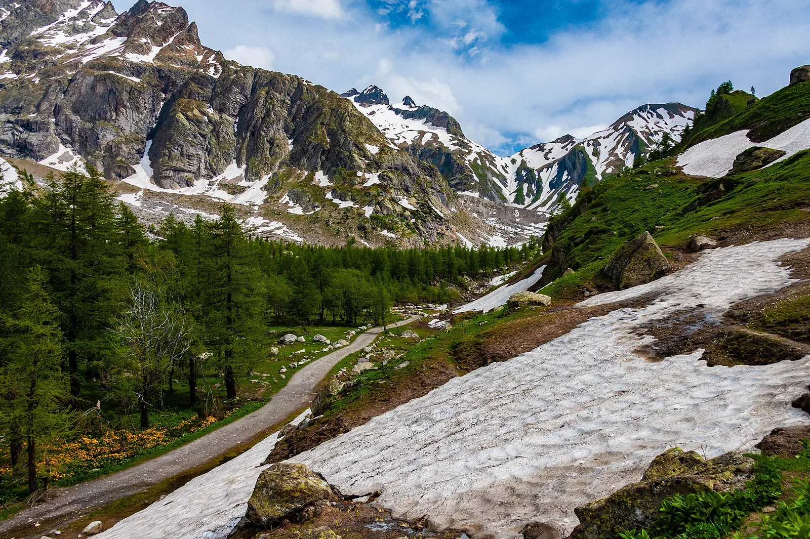
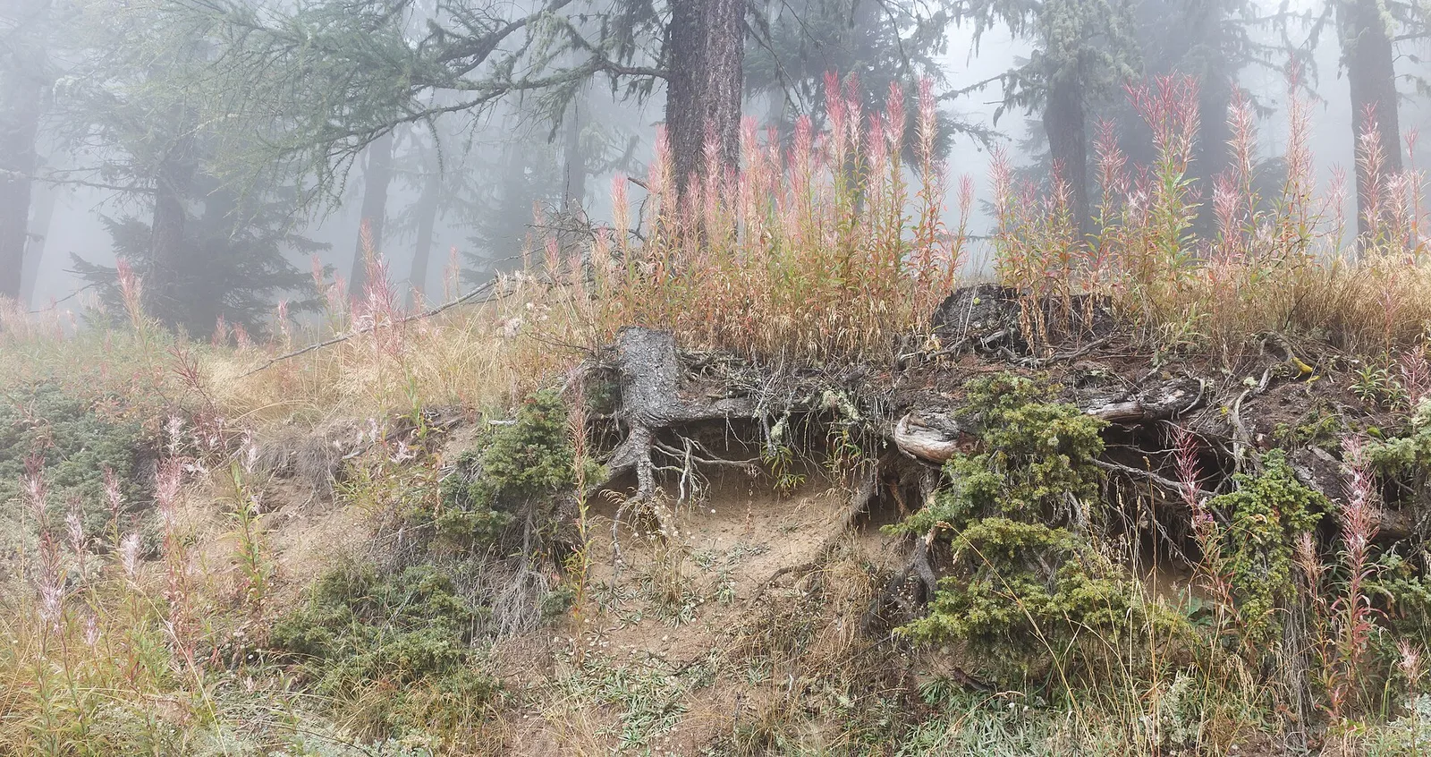
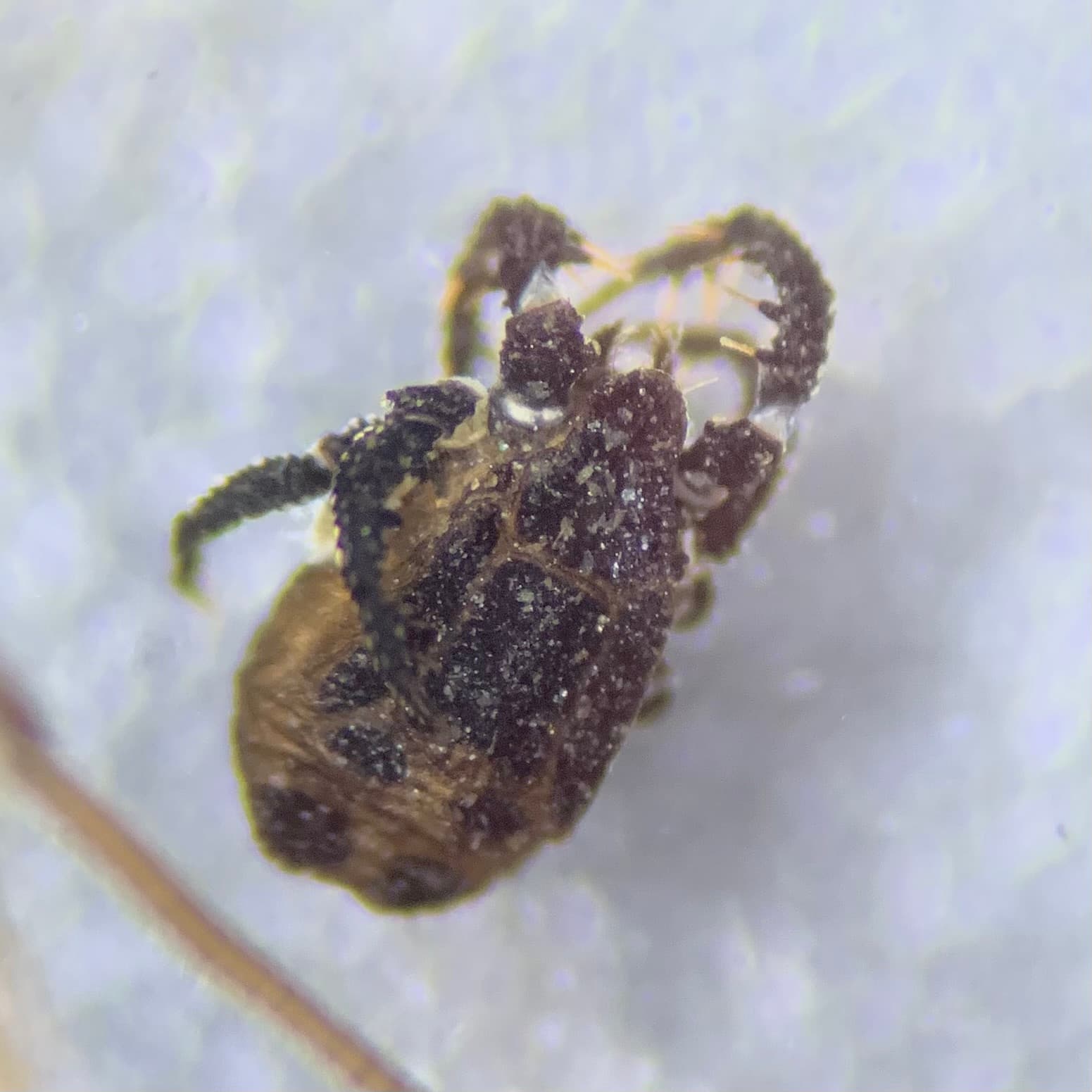
44 trails where Rock bunting is listed in flora/fauna: difficulty T–EE, elevation gain 0–1685 m.
44 · 0.6–10.4 km · +0–1685 m
Valle centrale
From Arlier (603m) to Cloutraz (1067m) on the Châtillon hillside: 3.5 km E through vineyards, woodland and views over the Dora Baltea.
Val Ferret
2.2 km · +291 m · E — from Arp-Nouva to Rif Elena (Great St Bernard Valley).
Valle centrale
2.6 km · +491 m · E — from Avise to Charbonnière (Valdigne).
Valle centrale
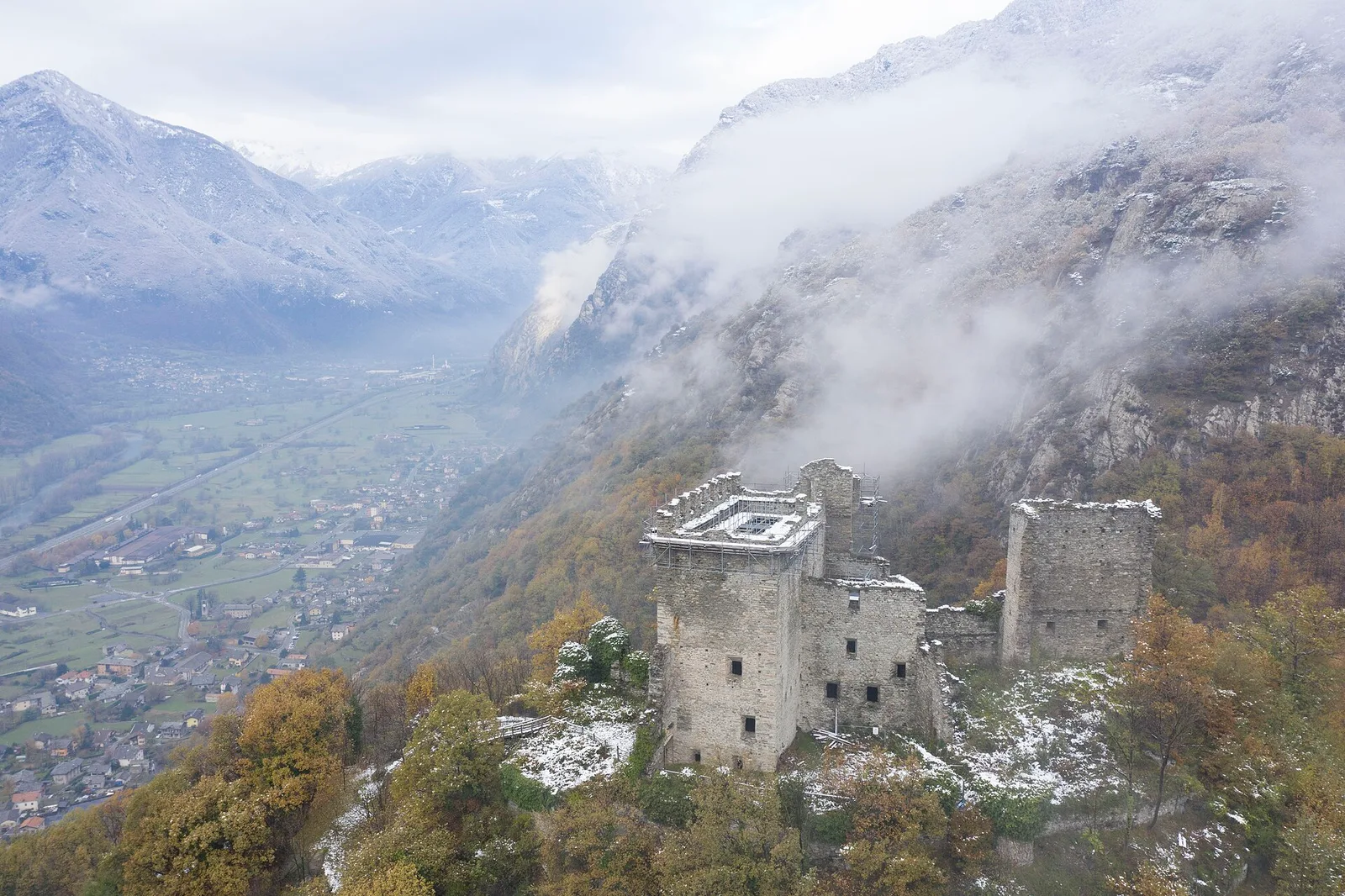
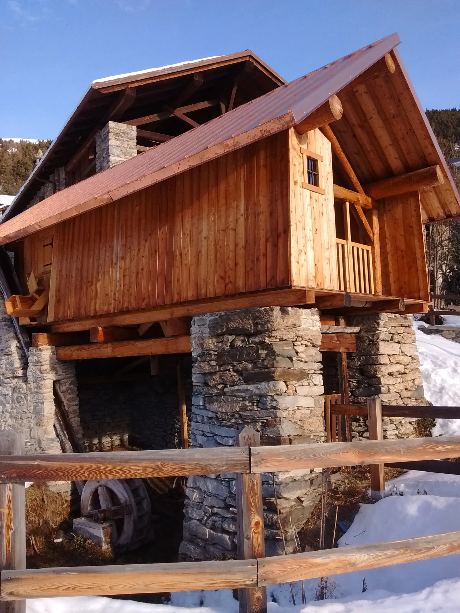
From Moulin to Pont d'Ael (885 m): a short walk to a 3 BC Roman aqueduct bridge, one of the finest preserved in the Alps.
Val d'Ayas
6 km · +828 m · E — from Bellecombe to Thoule (Valdigne).
Valle centrale
0.6 km · +159 m · E — from Cerlogne to Vens (Central Valley).
Valle centrale
4.5 km · +571 m · E — from Challancin to Col de Bard (La Thuile).
Valtournenche
1.3 km · +176 m · E — from Chaté to Musée Petit Monde (Tiatel) (Valpelline).
Bassa Valle
From the valley floor at Chateau Vallaise (454m) to Saint Anne's chapel (1342m): 4.3 km and 921 m of ascent through vineyards, chestnut groves and woodland on the Avise hillside.
Valle centrale
3.7 km · +418 m · E — from Combelin to Alpe Loe (Or) (Central Valley).
Valle centrale
4.9 km · +831 m · E — from Cré to Croix de Bouque (Lys Valley).
Val d'Ayas
2.1 km · +0 m · E — from Crest to Mascognaz (Central Valley).
Valle di Champorcher
2.9 km · +832 m · EE — from Dublanc to Tete du Mont (Champorcher Valley).
Valle di Champorcher
1.4 km · +297 m · EE — from Echelly to Grand-Rosier (Valtournenche).

Valle centrale
1.4 km · +164 m · E — from Feilley to Moron (Valtournenche).

Valle di Champorcher
5.4 km · +633 m · E — from Piazza Municipio to Pontboset (Valsavarenche).
Valtournenche
1.3 km · +310 m · E — from Lies to tornante S.R. (Valtournenche).
Valle centrale
8.1 km · +995 m · E — from Marseiller to Col des Bornes (Valsavarenche).
Valle centrale
8 km · +1466 m · E — from Miserègne to Ponton (Lys Valley).
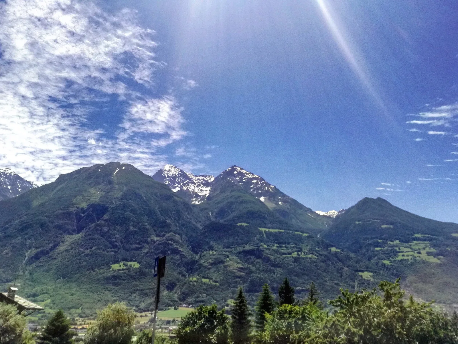
Valle centrale
2 km · +461 m · E — from Moulin to Gorettaz (Lys Valley).
Valle del Lys
3.7 km · +790 m · E — from Nantay to Ruine damon (Central Valley).
Valle centrale
1.2 km · +140 m · E — from Nus to Chateau de Nus (Valpelline).
Valtournenche
3.7 km · +317 m · E — from Paquier to Champleve (Central Valley).
Bassa Valle
2.4 km · +790 m · E — from Saint-Roch to Col de Plan Fenetre (Central Valley).
Valle centrale
4.5 km · +640 m · E — from Pré Saint-Didier to Elevaz (Rhêmes Valley).
Valle del Lys
6.6 km · +1335 m · E — from Quinçod to Merendiou (Ayas Valley).
Valle del Gran San Bernardo
10.4 km · +67 m · E — from Reysod to Etroubles (Central Valley).
Bassa Valle
6.2 km · +567 m · E — from Rovarey to Santuario Notre Dame de la Garde (Valtournenche).
Valle centrale
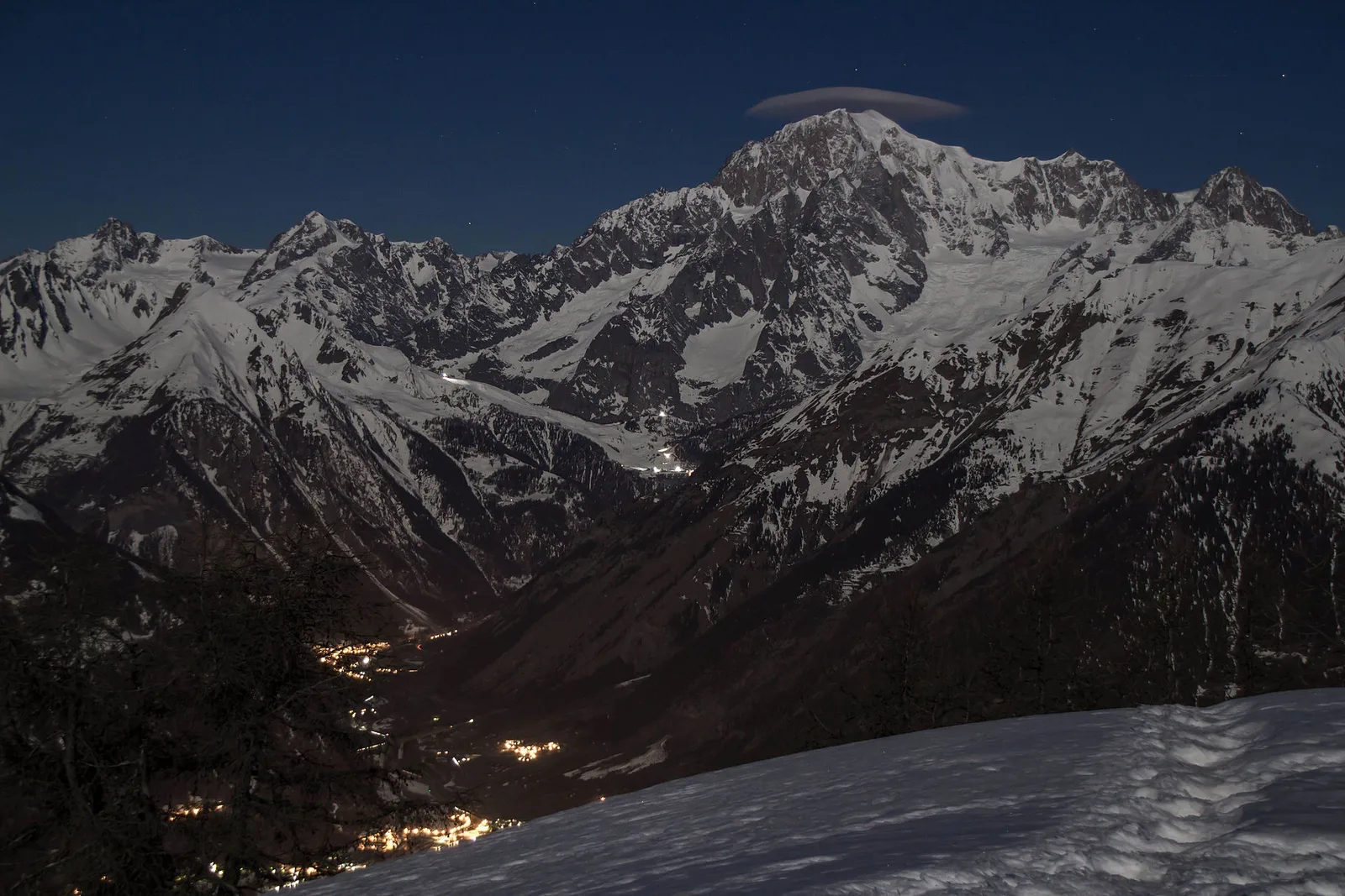
From Runaz (839 m) to the Alpage du Glacier (2163 m): 1635 m of ascent through forest, pastures and open alpine grassland, one of the most demanding routes in the Valdigne.
Valle del Gran San Bernardo
0.8 km · +34 m · T — from Saint-Oyen to Pallais dessous (Great St Bernard Valley).
Valle del Lys
4.2 km · +802 m · EE — from Sainte-Marguerite to Col Giassit (Central Valley).
Valle centrale
2.1 km · +740 m · EE — from Servettaz to Druges (Lys Valley).
Valle di Champorcher
6.4 km · +967 m · E — from Strada Dondena to Parcheggio Dondena (Valtournenche).
Valle centrale
6 km · +977 m · E — from Terme to Col de Joux (Valtournenche).
Val d'Ayas
5.7 km · +1091 m · E — from Toffo (Montjovet) to Sommarèse (Great St Bernard Valley).
Valpelline
A scenic loop above Bionaz, from La Culoz via Mont Echeut and Sevey: 1,200 metres of ascent among alps and balconies over Valpelline.
Valle centrale
1.5 km · +352 m · E — from Valmeanaz to Rean (Great St Bernard Valley).
Valpelline
4.1 km · +598 m · E — from Capoluogo to Billiouque (Valtournenche).
Valle di Champorcher
3 km · +279 m · E — from Veulla to Ruderi Alto Forno (Central Valley).
Valle centrale
3.9 km · +713 m · E — from Veynes to Valtolanaz (Central Valley).
Valle centrale
9 km · +1685 m · E — from Villair to Col de Licony (Central Valley).
Valle centrale
0.9 km · +0 m · E — from Capoluogo to Saint Roch (Central Valley).
Val Veny
3.2 km · +366 m · E — from Visaille to Lago del Miage (Great St Bernard Valley).
Val d'Ayas
1.5 km · +331 m · E — from Vollon (Brusson) to Salomon (Ayas Valley).