Trail guide
The best hikes in Champorcher
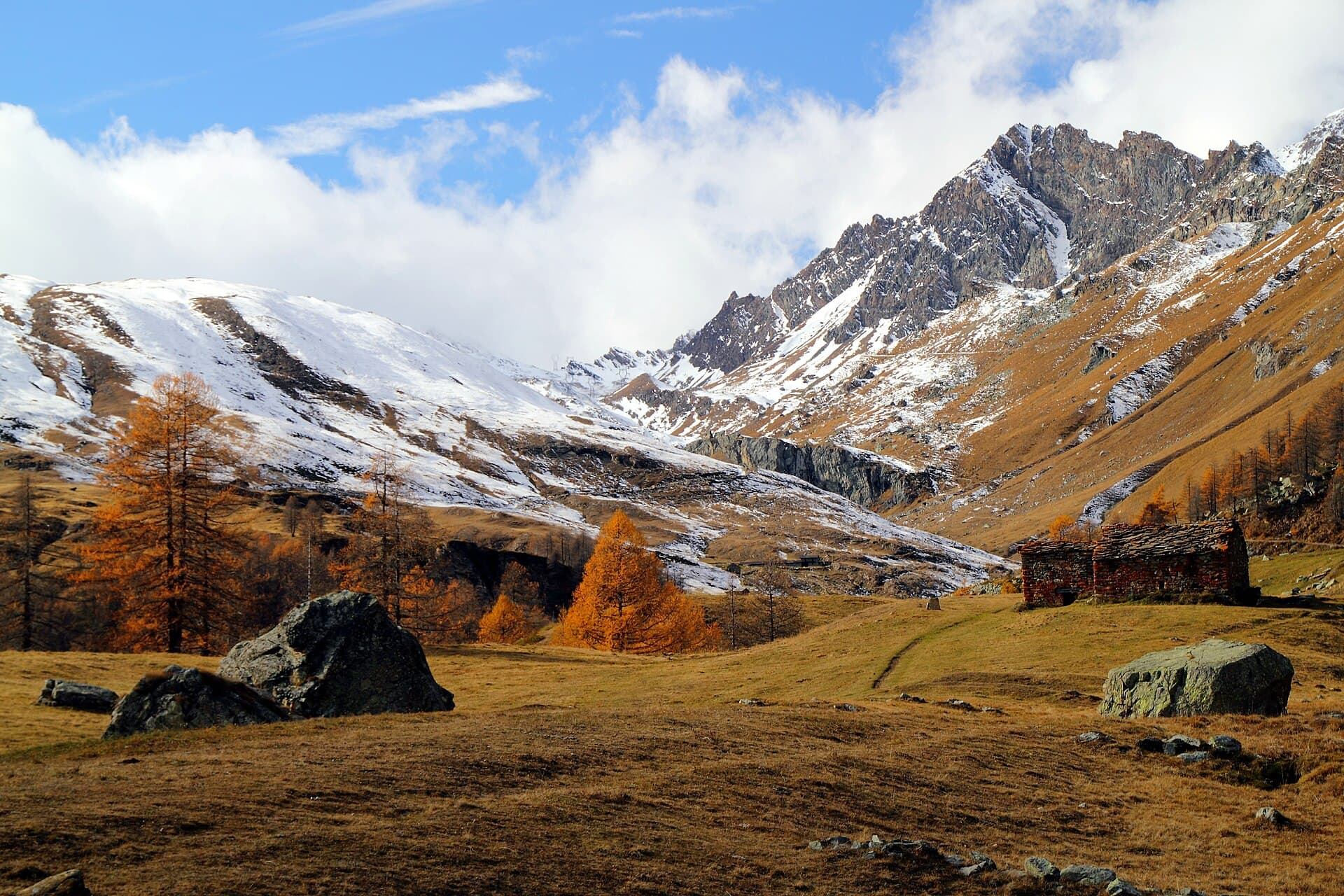
The best hikes in Champorcher: 13 selected trails with difficulty, distance, elevation gain and links to the route pages. Sentieri VdA guide.
Eastern gateway to the Mont Avic Park, Champorcher links the Dondena valley, the Miserin lake and sanctuary and the Alta Via 2 crossing among lakes, peat bogs and the wildlife of the valley’s youngest park.
This guide gathers the best trails in the area, all from the Sentieri VdA catalogue: for each one you get the CAI difficulty, distance, elevation gain and a direct link to the route page with map, elevation profile, photos and the day’s weather.
Every itinerary below uses real data from the Aosta Valley trail registry — waymark numbers, distances and elevation gain — and links to the full page with satellite map, GPX track, elevation profile and the nearest town’s weather. Always check conditions before setting off: at altitude the weather changes fast and some passes stay snow-covered into early summer.
Selected trails
High Route 2 — Stage 13: Champorcher → Crest
18 km · +1254 m · EE — from Champorcher to Crest.
From Champorcher, climb La Leigne valley to Colle della Fricolla and descend to Crest-Damon. The penultimate stage through the woods on the Ayasse’s true right side: chestnut and beech forests and half-abandoned hamlets that tell of mountain depopulation.
High Route 2 — Stage 11: Rifugio Sogno di Berdzé → Rifugio Dondena
7 km · +301 m · E — from Rifugio Sogno di Berdzé to Rifugio Dondena.
Climb to Fenêtre de Champorcher, skirt Lake Misérin and Rifugio Misérin before descending to Dondena in Mont Avic Regional Park. The Fenêtre de Champorcher (2,827 m) is the Alta Via’s last great pass: from the col, on clear days, Monte Rosa fills the north-eastern horizon.
High Route 2 — Stage 12: Rifugio Dondena → Champorcher
6 km · +0 m · E — from Rifugio Dondena to Champorcher.
Short scenic stage: descend Champorcher valley on the Scaletta trail to the village.
Col de Bonze - Col Laris
32.2 km · +3545 m · EE — from Col de Bonze to Col Laris.
Col de Bonze - Col Laris is an official trail from the Aosta Valley trail registry (code PS_S5). The route lies in the municipality of Emarèse, in the Valtournenche. From Col de Bonze (2250 m) to Col Laris (2583 m): 32.2 km with +3545 m of elevation change, difficulty EE (CAI scale).
Champorcher - Col Laris
10.1 km · +1406 m · E — from Champrocher to Col Laris.
Champorcher - Col Laris is an official trail from the Aosta Valley trail registry (code PS_S1). The route lies in the municipality of Châtillon, in the Valtournenche. From Champrocher (1407 m) to Col Laris (2583 m): 10.1 km with +1406 m of elevation change, difficulty E (CAI scale).
Champorcher - Col de la Fricolla
8.8 km · +1350 m · EE — from Champorcher to Col de la Fricolla.
Champorcher - Col de la Fricolla is an official trail from the Aosta Valley trail registry (code PS_S2). The route lies in the municipality of Châtillon, in the Valtournenche. From Champorcher (1407 m) to Col de la Fricolla (2537 m): 8.8 km with +1350 m of elevation change, difficulty EE (CAI scale).
Outre l'Eve - Col de la Fricolla
7.3 km · +1319 m · E — from Outre l'Eve to Col de la Fricolla.
Outre l'Eve - Col de la Fricolla is an official trail from the Aosta Valley trail registry (code 18_S56). The route lies in the municipality of Châtillon, in the Valtournenche. From Outre l'Eve (1200 m) to Col de la Fricolla (2545 m): 7.3 km with +1319 m of elevation change, difficulty E (CAI scale).
Chardonney - Lago Vercoche - Col Laris
6.7 km · +1139 m · EE — from Chardonney to Col Laris.
From Chardonney (1450 m), a hamlet of Champorcher, this Expert Hikers (EE) route reaches Lake Vercoche and continues to the Col Laris (2588 m), with over 1100 metres of ascent in about 6.7 kilometres.
Dondena - Col Fussy - Mont Glacier
7.8 km · +1098 m · EE — from Dondena to Mont Glacier.
A high-altitude route that from Dondena (2103 m), in the upper Champorcher valley in the municipality of Châtillon, climbs to Mont Glacier (3182 m) via the Col Fussy. With nearly 1100 metres of ascent at Expert Hikers (EE) difficulty, it leads above three thousand metres in a harsh setting of high meadows, scree and ridges.
Strada Dondena - Parcheggio Dondena (Giro dei Laghi)
6.4 km · +967 m · E — from Strada Dondena to Parcheggio Dondena.
Strada Dondena - Parcheggio Dondena (Giro dei Laghi) is an official trail from the Aosta Valley trail registry (code 18_S25). The route lies in the municipality of Châtillon, in the Valtournenche. From Strada Dondena (1778 m) to Parcheggio Dondena (2103 m): 6.4 km with +967 m of elevation change, difficulty E (CAI scale).
Parcheggio Dondena - Col de la Roese di Bantse
7.4 km · +873 m · EE — from Parcheggio Dondena to Col de la Roese di Bantse.
Parcheggio Dondena - Col de la Roese di Bantse is an official trail from the Aosta Valley trail registry (code 18_S30). The route lies in the municipality of Châtillon, in the Valtournenche. From Parcheggio Dondena (2103 m) to Col de la Roese di Bantse (2956 m): 7.4 km with +873 m of elevation change, difficulty EE (CAI scale).
Dublanc - Tete du Mont (Pontboset)
2.9 km · +832 m · EE — from Dublanc to Tete du Mont.
Dublanc - Tete du Mont (Pontboset) is an official trail from the Aosta Valley trail registry (code 18_S1). The route lies in the municipality of Châtillon, in the Valtournenche. From Dublanc (1118 m) to Tete du Mont (1907 m): 2.9 km with +832 m of elevation change, difficulty EE (CAI scale).
Gontier - Col d'Arcomy
2.7 km · +540 m · EE — from Gontier to Col d'Arcomy.
Gontier - Col d'Arcomy is an official trail from the Aosta Valley trail registry (code 18_S12). The route lies in the municipality of Châtillon, in the Valtournenche. From Gontier (1440 m) to Col d'Arcomy (1958 m): 2.7 km with +540 m of elevation change, difficulty EE (CAI scale).
Explore the full catalogue on the Trails page and plan your next hike in the Aosta Valley.
Cover photo: Fulvio Spada from Torino, Italy · CC BY-SA 2.0