High Route 2 — Stage 11: Rifugio Sogno di Berdzé → Rifugio Dondena
7 km
+301 m
−643 m
2.5 h
Fitness level
~811 kcal estimated
Elevation profile
Map & route
Download GPXOfficial GPX track — Aosta Valley Region / lovevda.it
Description
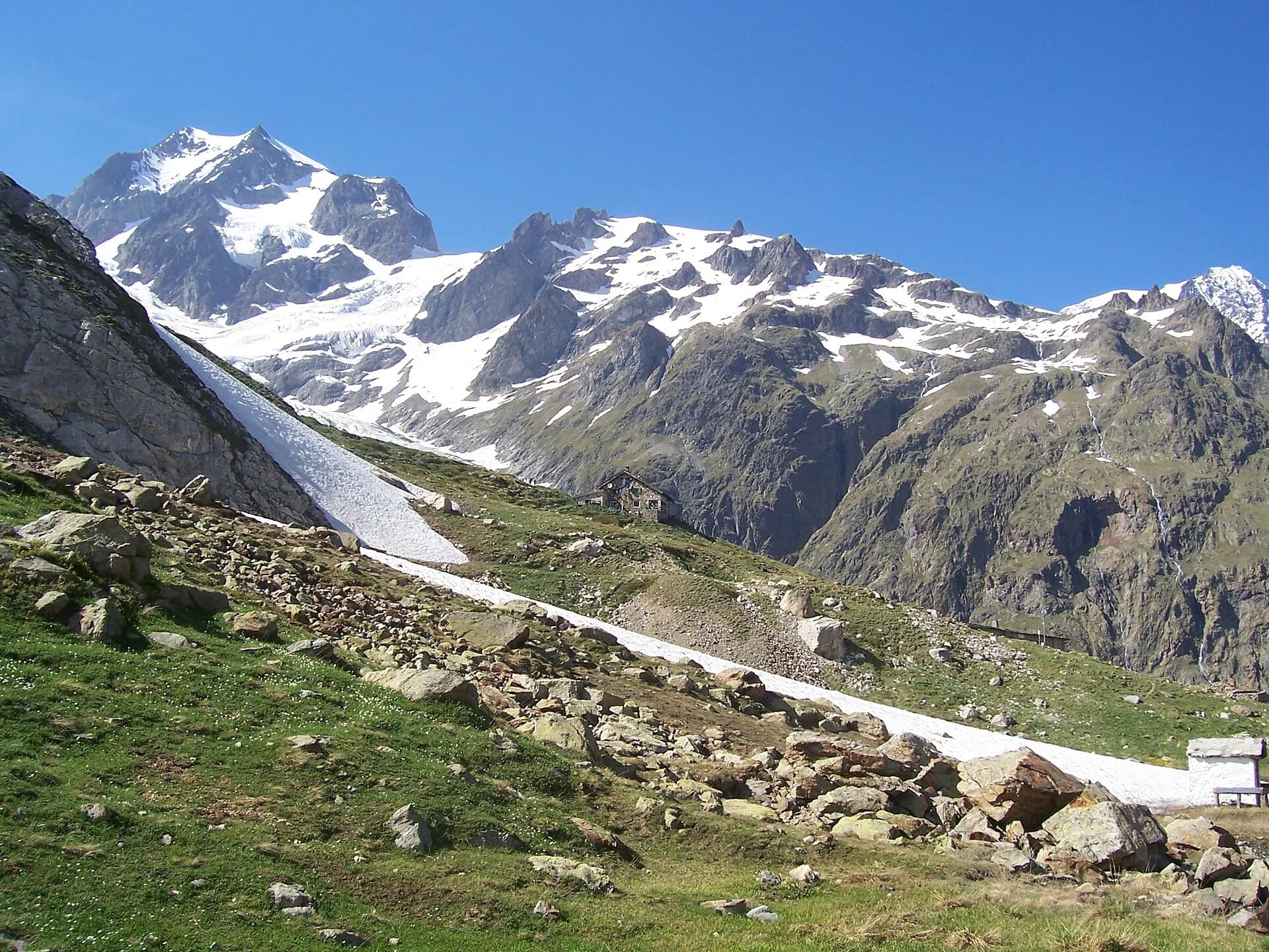
Climb to Fenêtre de Champorcher, skirt Lake Misérin and Rifugio Misérin before descending to Dondena in Mont Avic Regional Park.
Key points
Fenêtre de Champorcher
2827 m · 2 km from start
Marked AV2 alpine pass
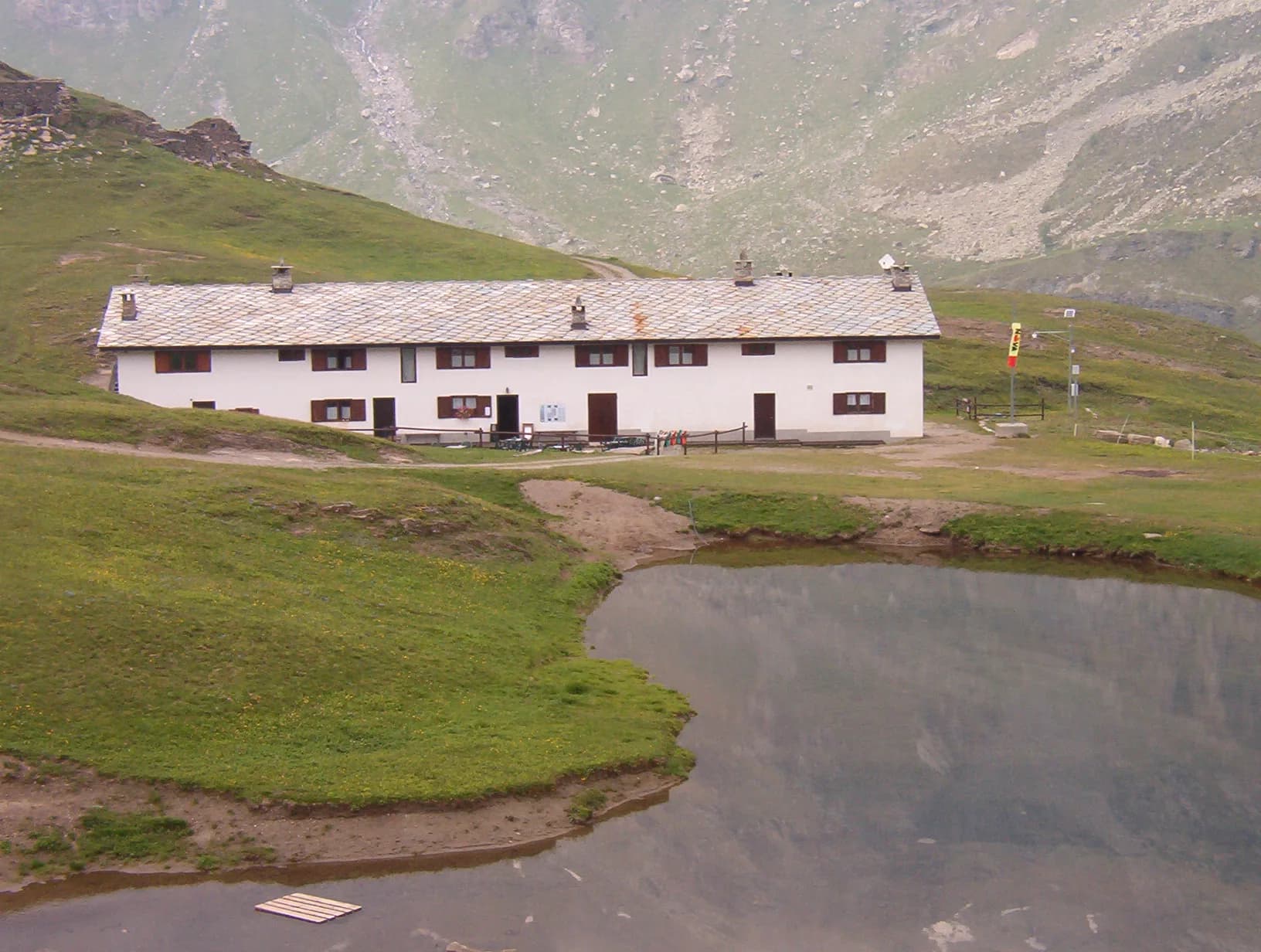
Lago Misérin
2580 m · 4 km from start
Earth sciences
Geology & landscape
Southern flank of Mont Avic: micaschists, gneiss and phyllites; glacial lakes (Misérin) and Pleistocene moraine deposits.
Water sources
Dondena, Misérin and Sogno di Berdzé huts; Champorcher village with bar.
Getting there
VITA buses and connections from Aosta; check seasonal timetables at vita.it.
Parking
Parcheggi comunali nei paesi di valle; verificare limitazioni in alta stagione.
Warnings
- Check weather and residual snow early season
- Book huts in peak season
Start & end
Start
Rifugio Sogno di Berdzé
2527 m
Finish
Rifugio Dondena
2185 m
Refuges & bivouacs
Photo gallery
Flora along the trail
Adjacent stages
ACurated and verified by Andrea
Data source: Catasto Sentieri Regione Autonoma VdA — Alta Via n.2 · Open data — DGR 899/2014
Last verified:
Champorcher
Related trails
Same valley or similar routes — more hikes to explore.
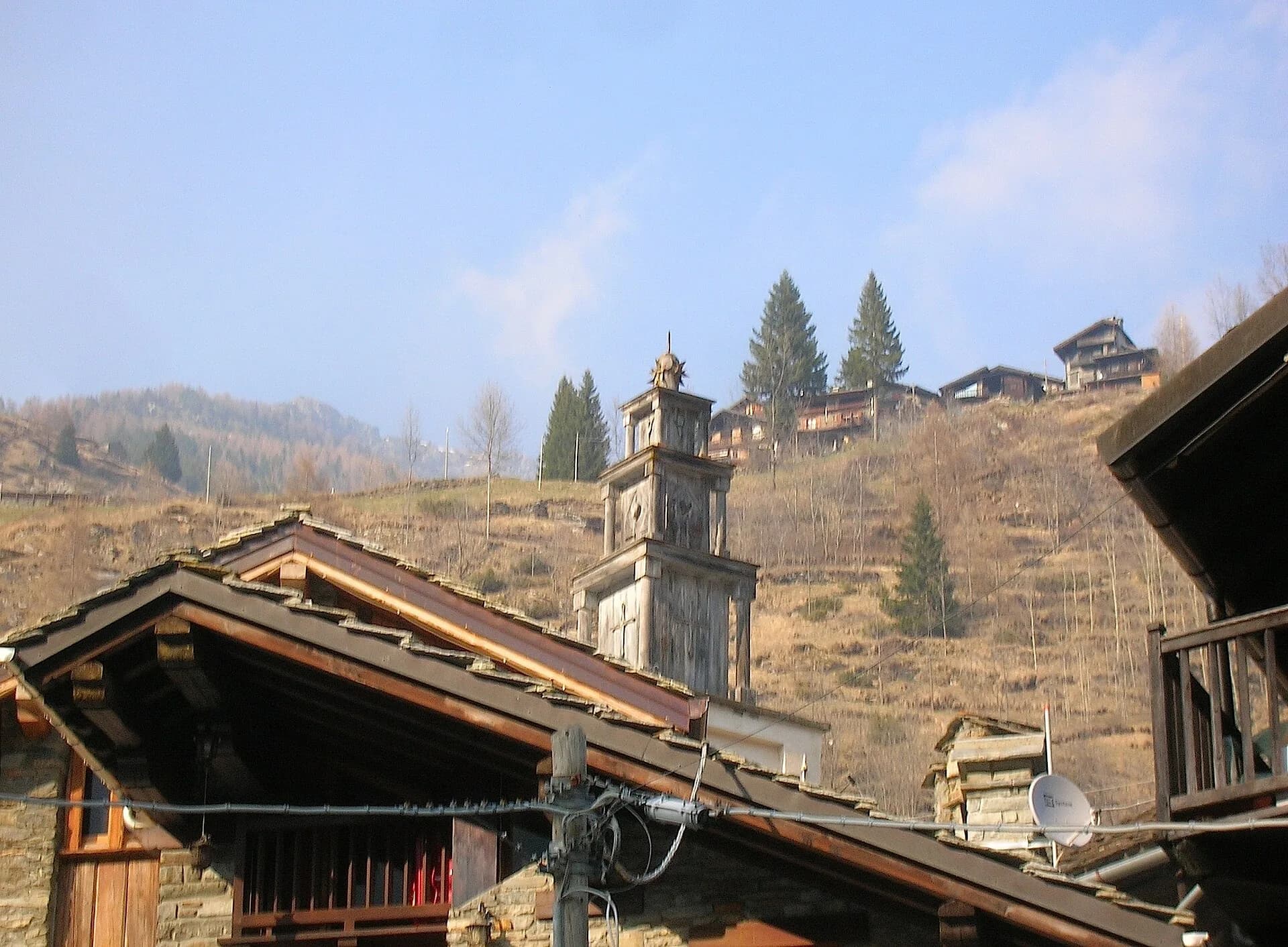
Champorcher
High Route 2 — Stage 13: Champorcher → Crest
Long stage to Crest-Damon with climb to Colle della Fricolla.
Val Veny
High Route 2 — Stage 1: Courmayeur → Rifugio Elisabetta Soldini
First stage of AV2: from Courmayeur to Rifugio Elisabetta in Val Veny, at the foot of Mont Blanc.
Bassa Valle
High Route 2 — Stage 14: Crest → Donnas
Final AV2 stage: from Retempio sanctuary to Donnas in the valley floor.
Val Veny
High Route 2 — Stage 2: Rifugio Elisabetta Soldini → La Thuile
Descent from Col des Chavannes to La Thuile across pastures and the La Thuile valley.