High Route 2 — Stage 1: Courmayeur → Rifugio Elisabetta Soldini
15 km
+1406 m
−340 m
6 h
Fitness level
~1698 kcal estimated
Elevation profile
Map & route
Download GPXOfficial GPX track — Aosta Valley Region / lovevda.it
Description
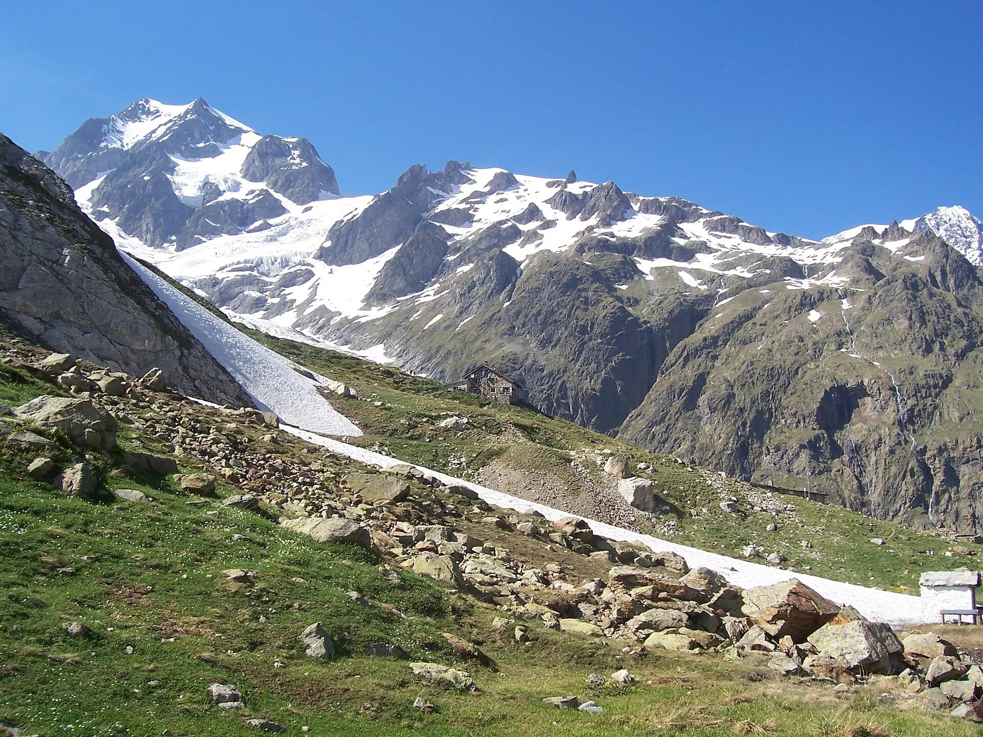
Start in Courmayeur, cross Dolonne and climb to Rifugio Maison Vieille before reaching Lac Combal plateau and Rifugio Elisabetta Soldini. Classic stage with Grandes Jorasses views.
Key points
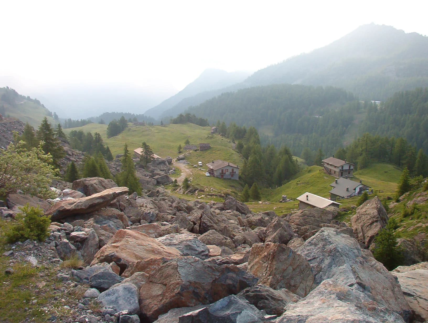
Dolonne
1210 m · 1 km from start
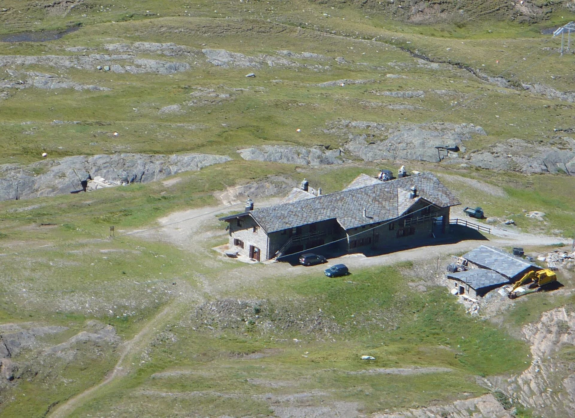
Rifugio Maison Vieille
1956 m · 8 km from start
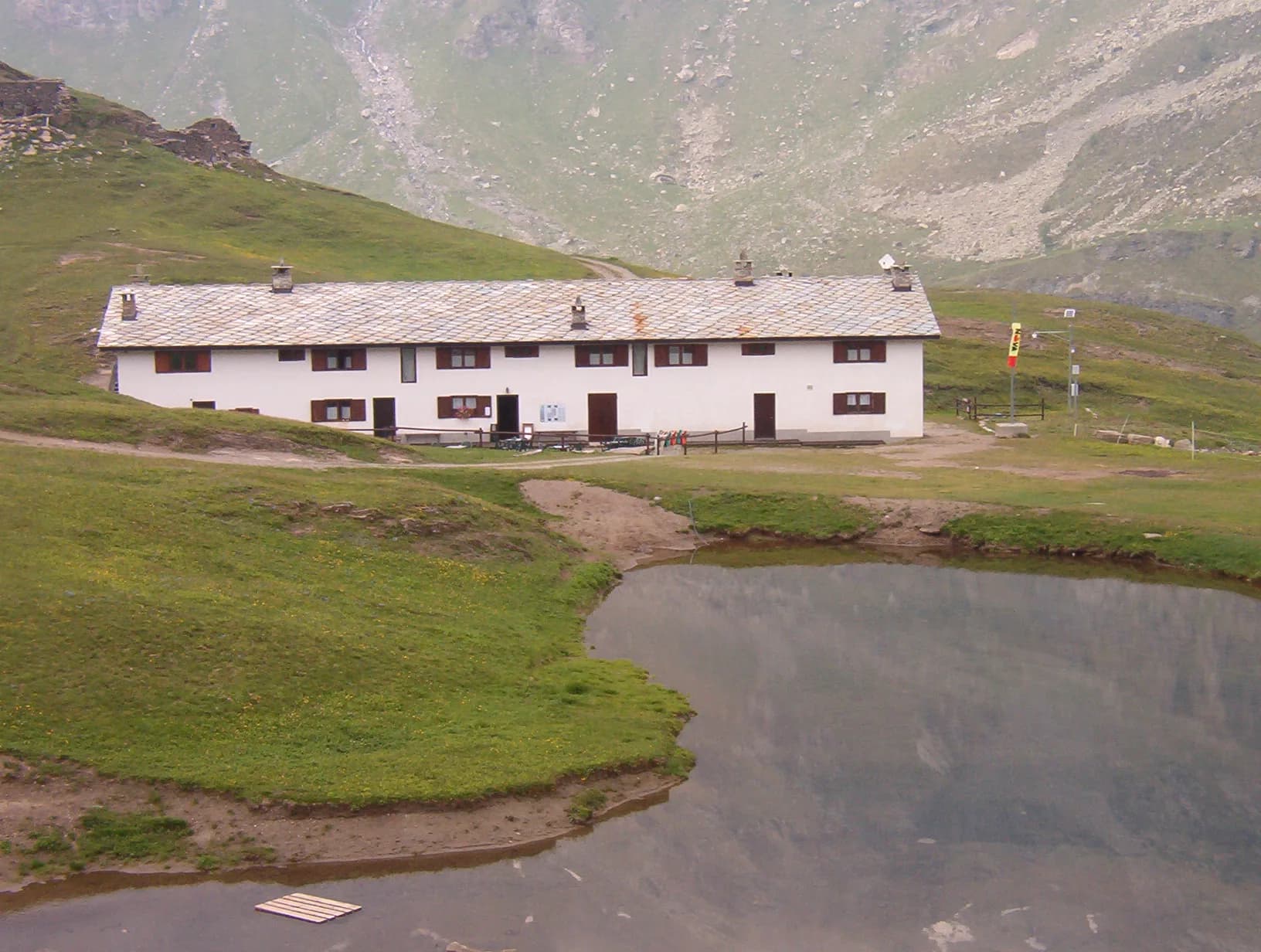
Lago Combal
2100 m · 12 km from start
Earth sciences
Geology & landscape
Southern flank of the Mont Blanc massif: Austroalpine basement gneiss and micaschists, Würmian moraines and proglacial deposits in Val Veny. The Brenva Glacier still shapes the valley floor morphology.
Water sources
Huts and bars in Courmayeur/Dolonne. Springs at Lac Combal; refill at Rifugio Elisabetta.
Getting there
VITA buses and connections from Aosta; check seasonal timetables at vita.it.
Parking
Parcheggi comunali nei paesi di valle; verificare limitazioni in alta stagione.
Warnings
- Check weather and residual snow early season
- Book huts in peak season
Nearby peaks
Start & end
Start
Courmayeur
1200 m
Finish
Rifugio Elisabetta Soldini
2156 m
Refuges & bivouacs
Photo gallery
Flora along the trail
Adjacent stages
ACurated and verified by Andrea
Data source: Catasto Sentieri Regione Autonoma VdA — Alta Via n.2 · Open data — DGR 899/2014
Last verified:
Val Veny
Related trails
Same valley or similar routes — more hikes to explore.
Val di Cogne
High Route 2 — Stage 10: Cogne → Rifugio Sogno di Berdzé
Climb from Cogne centre to Rifugio Sogno di Berdzé at Péradzà.
Champorcher
High Route 2 — Stage 11: Rifugio Sogno di Berdzé → Rifugio Dondena
Cross Fenêtre de Champorcher and Lake Misérin to Dondena.
Champorcher
High Route 2 — Stage 12: Rifugio Dondena → Champorcher
Descent along the «Scaletta» trail to Champorcher village.
Champorcher
High Route 2 — Stage 13: Champorcher → Crest
Long stage to Crest-Damon with climb to Colle della Fricolla.