High Route 2 — Stage 2: Rifugio Elisabetta Soldini → La Thuile

12 km
+456 m
−1169 m
5 h
Fitness level
~1071 kcal estimated
Elevation profile
Map & route
Download GPXOfficial GPX track — Aosta Valley Region / lovevda.it
Description
From Elisabetta, descend toward Col des Chavannes (2603 m) and cross Porassey and Orgères before reaching La Thuile valley floor.
Key points
Col des Chavannes
2603 m · 4 km from start
Marked AV2 alpine pass
Earth sciences
Geology & landscape
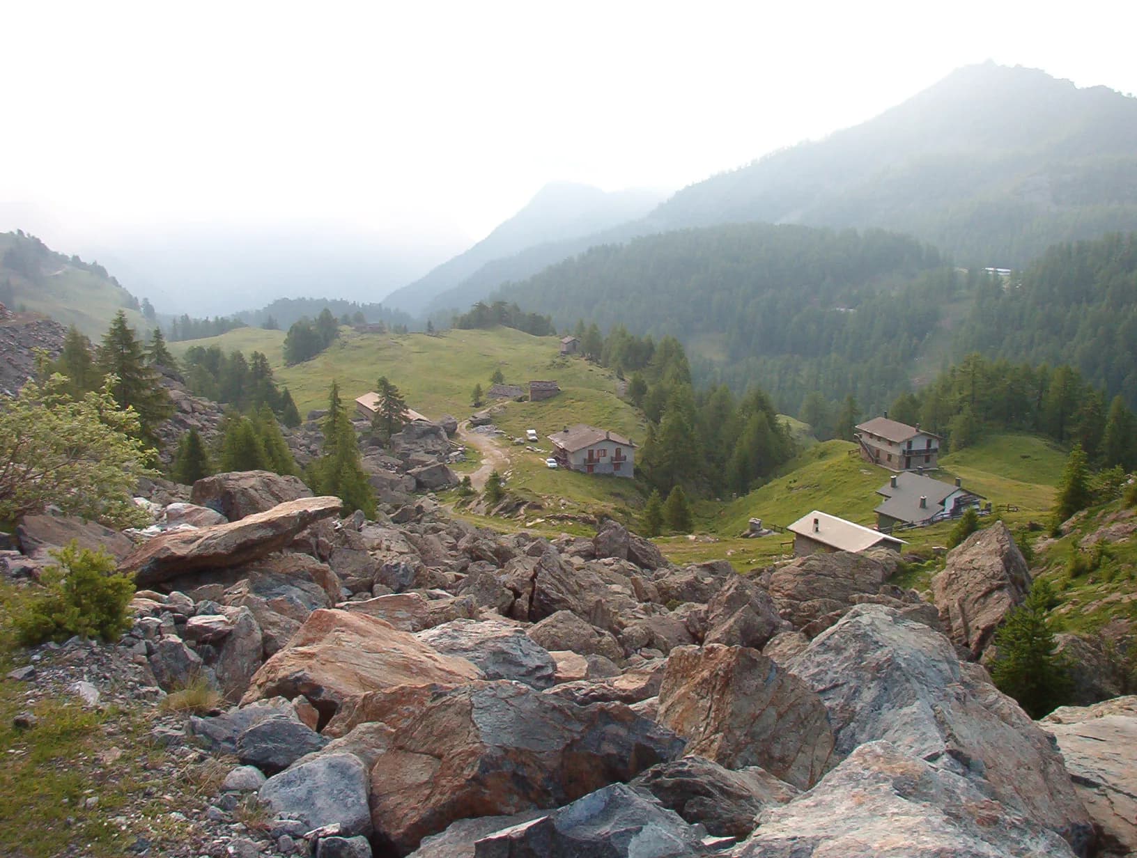
Southern flank of the Mont Blanc massif: Austroalpine basement gneiss and micaschists, Würmian moraines and proglacial deposits in Val Veny. The Brenva Glacier still shapes the valley floor morphology.
Water sources
Huts and bars in Courmayeur/Dolonne. Springs at Lac Combal; refill at Rifugio Elisabetta.
Getting there
VITA buses and connections from Aosta; check seasonal timetables at vita.it.
Parking
Parcheggi comunali nei paesi di valle; verificare limitazioni in alta stagione.
Warnings
- Check weather and residual snow early season
- Book huts in peak season
Nearby peaks
Start & end
Start
Rifugio Elisabetta Soldini
2156 m
Finish
La Thuile
1440 m
Refuges & bivouacs
Photo gallery
Flora along the trail
Adjacent stages
ACurated and verified by Andrea
Data source: Catasto Sentieri Regione Autonoma VdA — Alta Via n.2 · Open data — DGR 899/2014
Last verified:
Val Veny
Related trails
Same valley or similar routes — more hikes to explore.

Val di Cogne
High Route 2 — Stage 10: Cogne → Rifugio Sogno di Berdzé
Climb from Cogne centre to Rifugio Sogno di Berdzé at Péradzà.

Champorcher
High Route 2 — Stage 11: Rifugio Sogno di Berdzé → Rifugio Dondena
Cross Fenêtre de Champorcher and Lake Misérin to Dondena.
Champorcher
High Route 2 — Stage 12: Rifugio Dondena → Champorcher
Descent along the «Scaletta» trail to Champorcher village.

Champorcher
High Route 2 — Stage 13: Champorcher → Crest
Long stage to Crest-Damon with climb to Colle della Fricolla.