Trail guide
The best hikes in La Thuile
The best hikes in La Thuile: 13 selected trails with difficulty, distance, elevation gain and links to the route pages. Sentieri VdA guide.
La Thuile is the valley of lakes and waterfalls: the Rutor glacier with its lakes and three falls, the Deffeyes refuge, the Little St Bernard Pass and wide views of Mont Blanc.
This guide gathers the best trails in the area, all from the Sentieri VdA catalogue: for each one you get the CAI difficulty, distance, elevation gain and a direct link to the route page with map, elevation profile, photos and the day’s weather.
Every itinerary below uses real data from the Aosta Valley trail registry — waymark numbers, distances and elevation gain — and links to the full page with satellite map, GPX track, elevation profile and the nearest town’s weather. Always check conditions before setting off: at altitude the weather changes fast and some passes stay snow-covered into early summer.
Selected trails
High Route 2 — Stage 3: La Thuile → Promoud
16 km · +1428 m · E — from La Thuile to Promoud.
From La Thuile, climb the Rutor valley via La Joux, waterfalls and glacial lakes to Rifugio Deffeyes and Promoud bivouac. You leave the La Thuile basin up the Rutor valley beside its three waterfalls, then the trail bends towards the Passo Alto (2,857 m), a stern gap among boulder fields where snowfields linger into July.
Tour du Rutor — Stage 1: La Thuile → Rifugio Albert Deffeyes
9.2 km · +1113 m · E — from La Thuile to Rifugio Albert Deffeyes.
From La Thuile ascend the Rutor valley past the three spectacular glacier-fed waterfalls to Rifugio Albert Deffeyes (2,494 m), overlooking the snout of the Rutor glacier and its meltwater lakes. From La Thuile you ascend the valley on the historic mule track that once served the coal mines, soon entering conifer forest.
Tour du Rutor — Stage 2: Rifugio Albert Deffeyes → Planaval
15.5 km · +1111 m · EE — from Rifugio Albert Deffeyes to Planaval.
From the Deffeyes hut follow the Alta Via 2 line over the Passo Alto (2,857 m) and the Col de la Crosatie (2,829 m) in sequence, among scree, snowfields and short equipped sections. The descent passes Lake Fond and ends in Planaval (1,557 m), in Valgrisenche.
High Route 2 — Stage 4: Promoud → Planaval
14 km · +810 m · E — from Promoud to Planaval.
From Promoud bivouac, climb to Col de la Crosatie with its famous stone steps, then descend toward Lac de Fond and Planaval. Short but intense: the Col de la Crosatie (2,829 m) is earned up steep grassy slopes and a final fixed-rope section, exposed enough to demand care.
High Route 2 — Stage 2: Rifugio Elisabetta Soldini → La Thuile
12 km · +456 m · E — from Rifugio Elisabetta Soldini to La Thuile.
From Elisabetta, descend toward Col des Chavannes (2603 m) and cross Porassey and Orgères before reaching La Thuile valley floor.
Tour du Rutor — Stage 6: La Rosière → La Thuile
17.4 km · +373 m · E — from La Rosière to La Thuile.
From La Rosière climb gently to the Little St Bernard pass (2,188 m), with its prehistoric stone circle, hospice and Chanousia botanical garden. Re-enter Italy along the great Verney lake and descend to La Thuile (1,441 m), where the Rutor loop closes.
Parcheggio Area camper - Col de la Lex Blanche
11.4 km · +1418 m · E — from Parcheggio Area camper to Col de la Lex Blanche.
Parcheggio Area camper - Col de la Lex Blanche is an official trail from the Aosta Valley trail registry (code 41_S24). The route lies in the municipality of Lillianes, in the Lys Valley. From Parcheggio Area camper (1475 m) to Col de la Lex Blanche (2587 m): 11.4 km with +1418 m of elevation change, difficulty E (CAI scale).
Col des Orgères
9 km · +1272 m · E — from Capoluogo to Col des Orgères.
Col des Orgères is an official trail from the Aosta Valley trail registry (code 41_S3). The route lies in the municipality of Lillianes, in the Lys Valley. From Capoluogo (1458 m) to Col des Orgères (2719 m): 9 km with +1272 m of elevation change, difficulty E (CAI scale).
Rifugio Deffeyes e Colle di Passo Alto
9 km · +1264 m · E — from Joux to Colle passo Alto.
Rifugio Deffeyes e Colle di Passo Alto is an official trail from the Aosta Valley trail registry (code 41_S42). The route lies in the municipality of Lillianes, in the Lys Valley. From Joux (1613 m) to Colle passo Alto (2857 m): 9 km with +1264 m of elevation change, difficulty E (CAI scale).
Faubourg - Col d'Arp (Pré-Saint-Didier) Vallone di Youla
9.6 km · +1181 m · E — from Faubourg to Col d'Arp.
Faubourg - Col d'Arp (Pré-Saint-Didier) Vallone di Youla is an official trail from the Aosta Valley trail registry (code 41_S1). The route lies in the municipality of Lillianes, in the Lys Valley. From Faubourg (1459 m) to Col d'Arp (2571 m): 9.6 km with +1181 m of elevation change, difficulty E (CAI scale).
La Thuile - Rifugio Deffeyes
8.9 km · +968 m · E — from La Thuile, Thovex to Rifugio Deffeyes.
La Thuile - Rifugio Deffeyes is an official trail from the Aosta Valley trail registry (code 41_S35). The route lies in the municipality of Lillianes, in the Lys Valley. From La Thuile, Thovex (1535 m) to Rifugio Deffeyes (2500 m): 8.9 km with +968 m of elevation change, difficulty E (CAI scale).
Strada Piccolo San Bernardo (tornante quota1861) - Laityre
6.5 km · +876 m · E — from Strada Piccolo San Bernardo (tornante quota 1861) to Laityre.
Strada Piccolo San Bernardo (tornante quota1861) - Laityre is an official trail from the Aosta Valley trail registry (code 41_S8). The route lies in the municipality of Lillianes, in the Lys Valley.
Petosan - Col de la Croix
4.8 km · +626 m · E — from Petosan to Col de la Croix.
Petosan - Col de la Croix is an official trail from the Aosta Valley trail registry (code 41_S38). The route lies in the municipality of Lillianes, in the Lys Valley. From Petosan (1768 m) to Col de la Croix (2383 m): 4.8 km with +626 m of elevation change, difficulty E (CAI scale).
Explore the full catalogue on the Trails page and plan your next hike in the Aosta Valley.
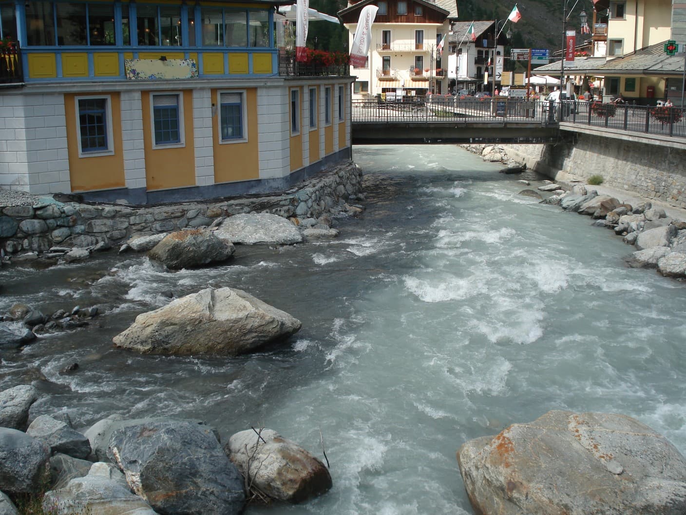
Cover photo: Postcrosser · CC BY-SA 3.0