Strada per Daillon - Alpe Ponteille (ru de Menouve)
8.8 km
+379 m
−0 m
3 h
Fitness level
Elevation profile
Map & route
Download GPXGPX track — verify on the ground before hiking
Description
This itinerary follows the Ru de Menouve, one of Aosta Valley's historic irrigation channels cut along the slopes to carry mountain water down to the fields. It begins on the road to Daillon, a hamlet of Allein, at 1434 metres: the route climbs first on tarmac, then on a dirt track, passing the localities of Maurier, Comba and Berruard. From here the walk becomes long and gentle, eight kilometres and just under four hundred metres of ascent, following the thread of the ru along the hillside. It is the classic mountain-aqueduct path: minimal gradients, an environment of larch woods and alpine pastures typical of this belt, with wide views over the Great St Bernard valley. The trail leads to the lower Alpe Ponteille, at 1830 metres, on the edge of the Menouve valley, at the boundary with the municipality of Etroubles. Graded E, but with modest effort: a route suitable for everyone, where physical exertion gives way to reading the traditional farming and hydraulic landscape.
Start & end
Start
Strada per Daillon
1434 m
Finish
Alpe Ponteille (ru de Menouve)
1830 m
ACurated and verified by Andrea
Data source: Catasto Sentieri Regione Autonoma VdA · Open data — DGR 899/2014
Last verified:
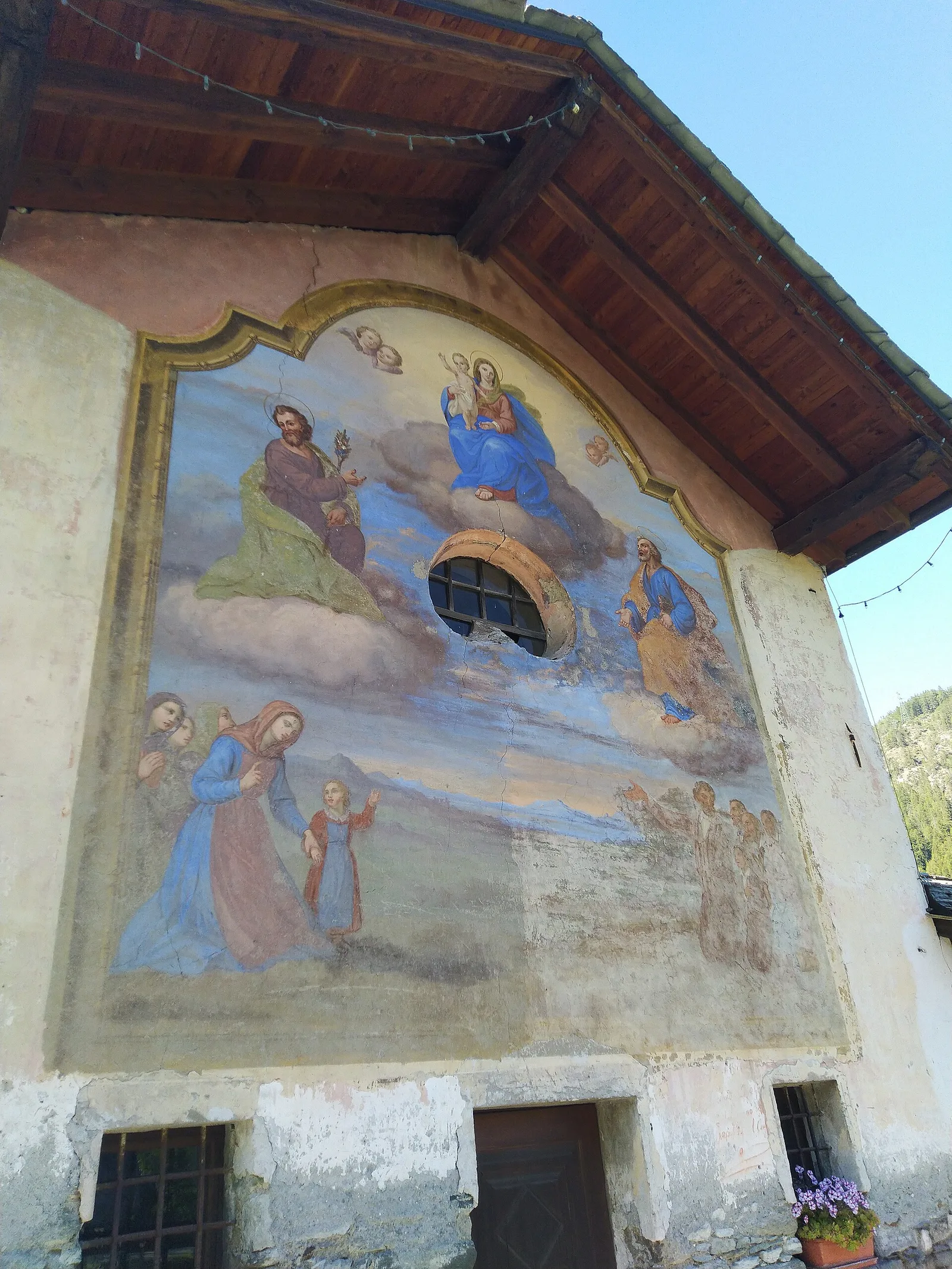
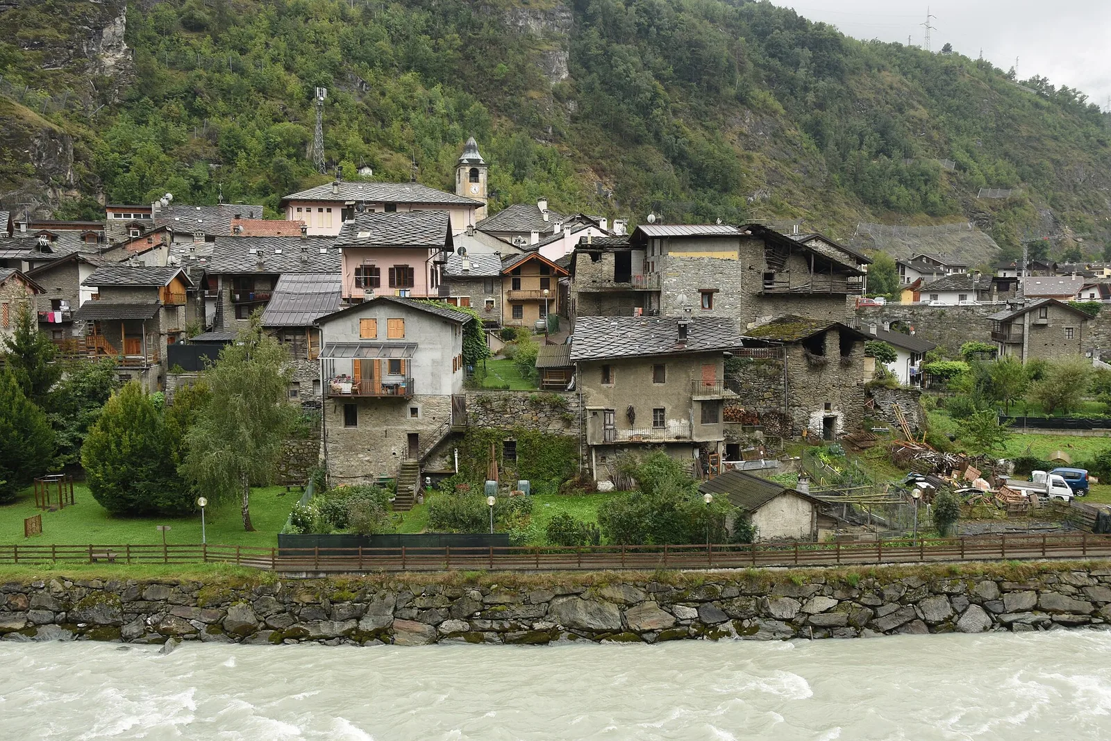
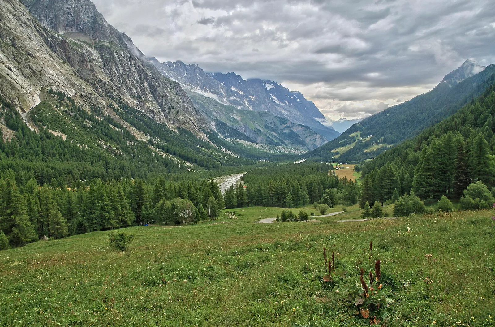
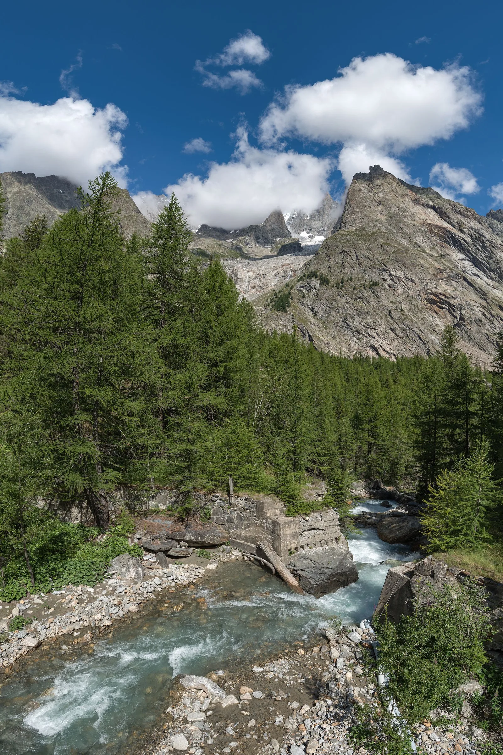
Valle del Gran San Bernardo
Related trails
Same valley or similar routes — more hikes to explore.
Valle del Gran San Bernardo
Allein - Mont Saron
7.5 km · +1434 m · E — from Chef-lieu to Mont Saron (Great St Bernard Valley).

Valle del Gran San Bernardo
Anello dei Gemelli della Mologna
8.9 km · +996 m · EEA — from Niel to Niel (Great St Bernard Valley).
Valle del Gran San Bernardo
Area pic-nic Plan Veny - Lac du Breuillat
3.6 km · +420 m · E — from Area pic-nic Plan Veny to Lac du Breuillat (Great St Bernard Valley).
Valle del Gran San Bernardo
Area pic-nic Plan Veny - Rifugio Monzino
3.4 km · +997 m · EEA — from Area pic-nic Plan Veny to Rifugio Monzino (Great St Bernard Valley).