Avise - Le Pré - Cerellaz
Map & route
GPX track — verify on the ground before hiking
Fitness level
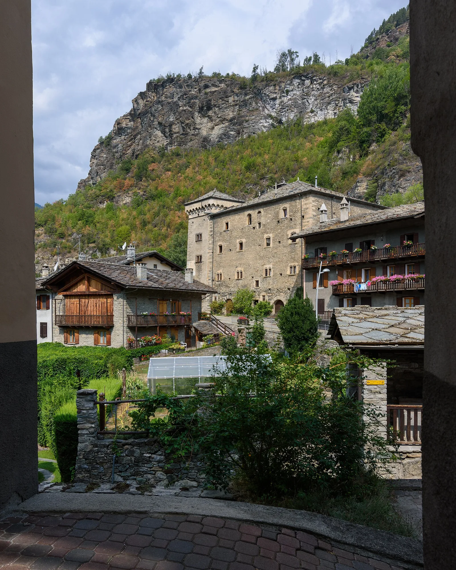
Official trail from the Aosta Valley Trail Cadastre in the municipality of Avise, Valle centrale. It runs from Avise (782 m) to Cerellaz (1250 m), covering 3.7 km with +470 m of ascent. Difficulty Hiking (E) on the CAI scale, with an estimated walking time of about 2 h. Recommended period: April, May, June, July, August, September and October.
Getting there
Parking
Photo gallery
Photos are published immediately. JPG/PNG/WebP, max 6 MB.
Flora along the trail
ACurated and verified by Andrea Rama
Data source: Catasto Sentieri Regione Autonoma VdA · Open data — DGR 899/2014
Last verified:
Valle centrale
Related trails
Same valley or similar routes — more hikes to explore.
Valle centrale
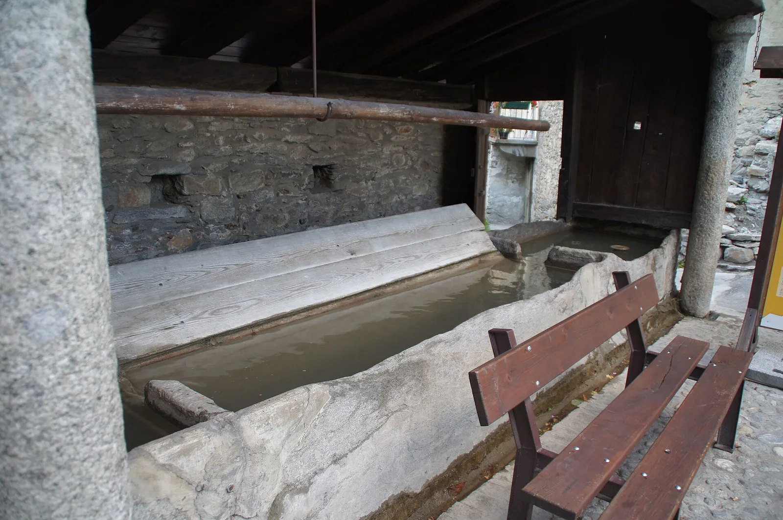
Anello del Verrand
2.6 km · +233 m · E — from Château Verrand to Château Verrand (Rhêmes Valley).
Valle centrale
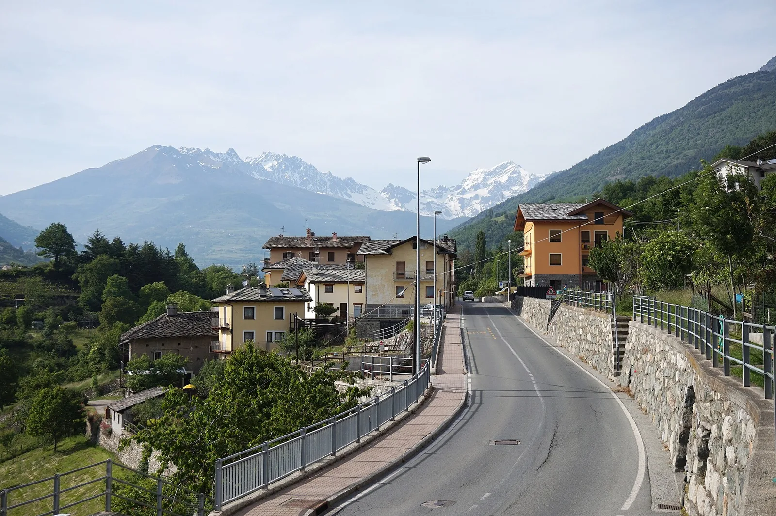
Area giochi Croux - Parleyaz
4.1 km · +476 m · E — from Area giochi Croux to Parleyaz (Central Valley).
Valle centrale
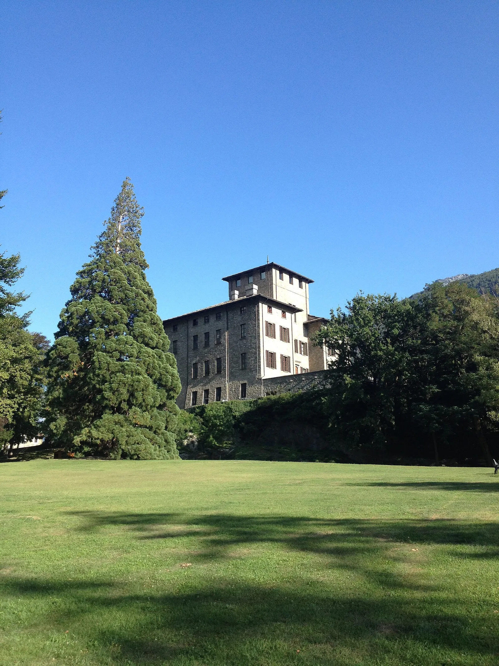
Arlier - Cloutraz (Pontey)
From Arlier (603m) to Cloutraz (1067m) on the Châtillon hillside: 3.5 km E through vineyards, woodland and views over the Dora Baltea.
Valle centrale
Arpilles - Champromenty
2.1 km · +333 m · E — from Arpilles to Champromenty (Lys Valley).