Runaz - Mont Colombo
Warnings
- Average gradient over 30%: only for fit hikers with sure footing.
- Avoid in wet or snowy conditions.
Map & route
GPX track — verify on the ground before hiking
Fitness level
A punishing ascent in the Valdigne: 978 metres of climbing packed into just 3.2 km from Runaz (839 m) to Mont-Colombo (1814 m). Average gradients exceed 30%, demanding sure footing and good fitness throughout. The lower slopes pass through chestnut woodland before giving way to larch and open pasture. The reward is exceptional: Mont Blanc and its glacier complex reveal themselves progressively as height is gained, with a sweeping panorama at the summit over the entire upper Valdigne. Rated E; avoid in wet or icy conditions.
Getting there
Parking
Photo gallery
Photos are published immediately. JPG/PNG/WebP, max 6 MB.
Flora along the trail
Wildlife to spot
ACurated and verified by Andrea Rama
Data source: Catasto Sentieri Regione Autonoma VdA · Open data — DGR 899/2014
Last verified:
Valle centrale
Related trails
Same valley or similar routes — more hikes to explore.
Valle centrale
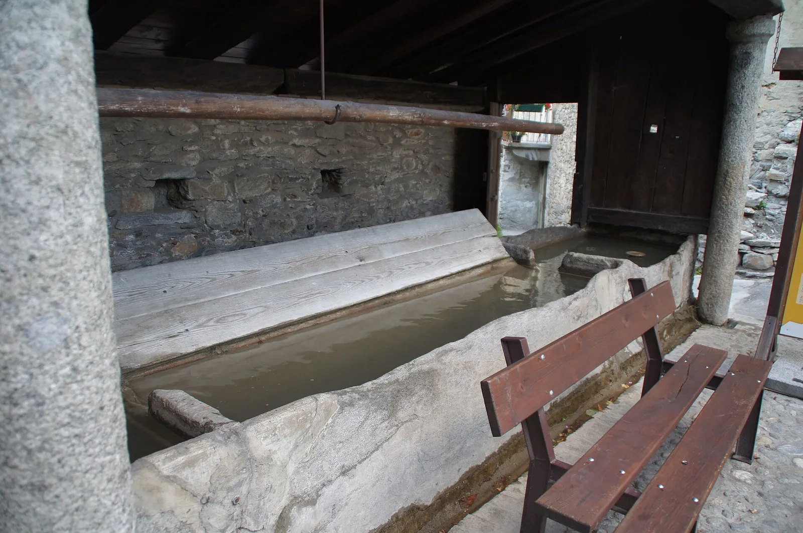
Anello del Verrand
2.6 km · +233 m · E — from Château Verrand to Château Verrand (Rhêmes Valley).
Valle centrale
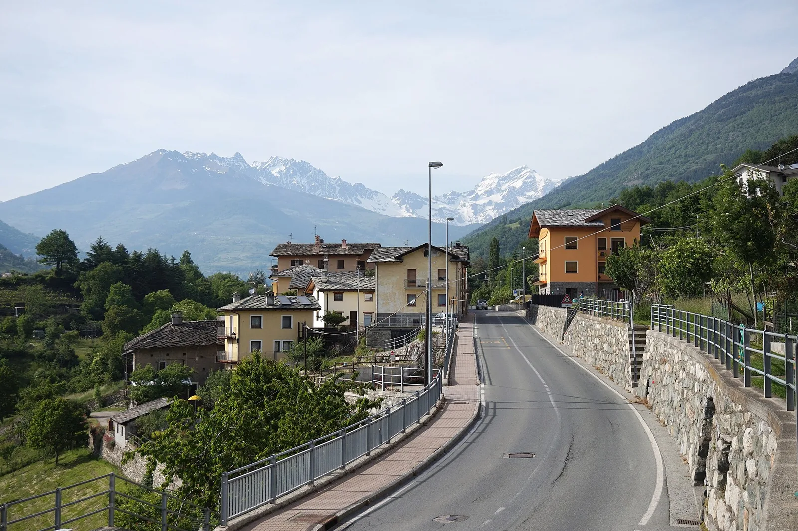
Area giochi Croux - Parleyaz
4.1 km · +476 m · E — from Area giochi Croux to Parleyaz (Central Valley).
Valle centrale
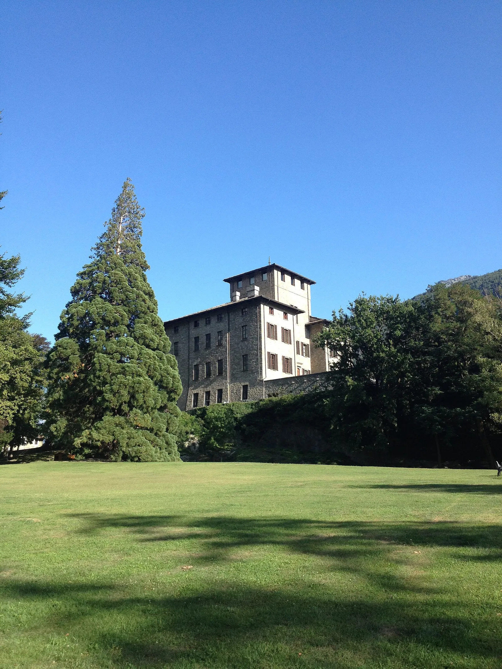
Arlier - Cloutraz (Pontey)
From Arlier (603m) to Cloutraz (1067m) on the Châtillon hillside: 3.5 km E through vineyards, woodland and views over the Dora Baltea.
Valle centrale
Arpilles - Champromenty
2.1 km · +333 m · E — from Arpilles to Champromenty (Lys Valley).