Bivio strada sterrata per Jovençan - Col Citrin
4.9 km
+640 m
−0 m
3 h
Fitness level
Elevation profile
Map & route
Download GPXGPX track — verify on the ground before hiking
Description
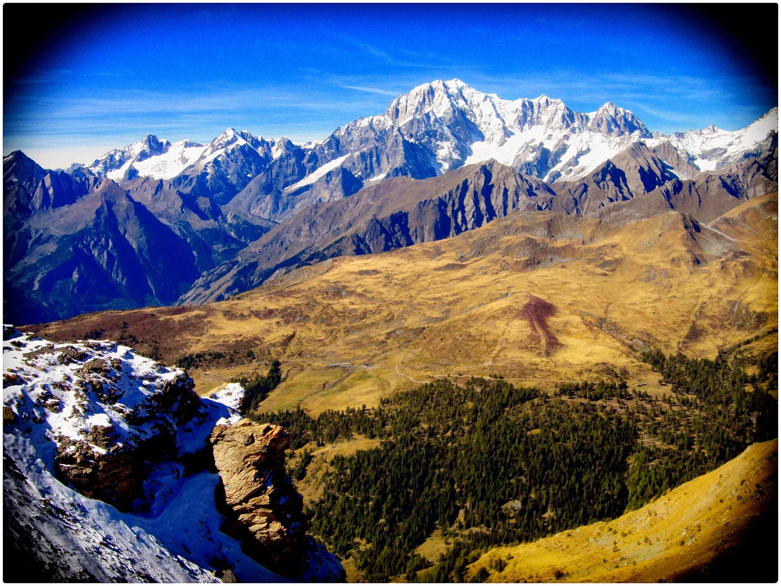
A short but rewarding climb to a panoramic pass between the Valdigne and the inner valleys of the Great St Bernard. The route starts from a junction on a dirt road (1855 m), already in alpine-pasture country, and rises at a steady gradient across the grassy slopes typical of this altitude band, where pastures take over from the last conifers. The modest elevation gain (+640 m) and short distance make it a half-day outing, though it still calls for the steady pace of a high-mountain ascent. At the Col Citrin (2487 m), the watershed between the Citrin basin and the Vertosan valley, a broad panorama opens onto the peaks ringing the head of the valley: Mont Velan, Mont Gelé and the Grand Combin group stand out in particular. Difficulty E, 4.9 km.
Warnings
- The high section lacks reliable water points: carry adequate supplies.
- Possible residual snowfields near the pass early in the season.
Start & end
Start
Bivio str sterr per Jovençan
1855 m
Finish
Col Citrin
2487 m
ACurated and verified by Andrea
Data source: Catasto Sentieri Regione Autonoma VdA · Open data — DGR 899/2014
Last verified:
Valdigne
Related trails
Same valley or similar routes — more hikes to explore.
Valdigne
Artaz - Col Pillonnet
6.3 km · +912 m · E — from Artaz to Col Pilonnet (Valdigne).
Valdigne
Artaz - Mont Tantané
4.7 km · +1021 m · EE — from Artaz to Mont Tantané (Valdigne).
Valdigne
Artaz - Mont Zerbion
6.7 km · +997 m · E — from Artaz to Mont Zerbion (Valdigne).
Valdigne
Avise - Charbonnière
2.6 km · +491 m · E — from Avise to Charbonnière (Valdigne).