Bard - Tête de Cou
Map & route
GPX track — verify on the ground before hiking
Fitness level
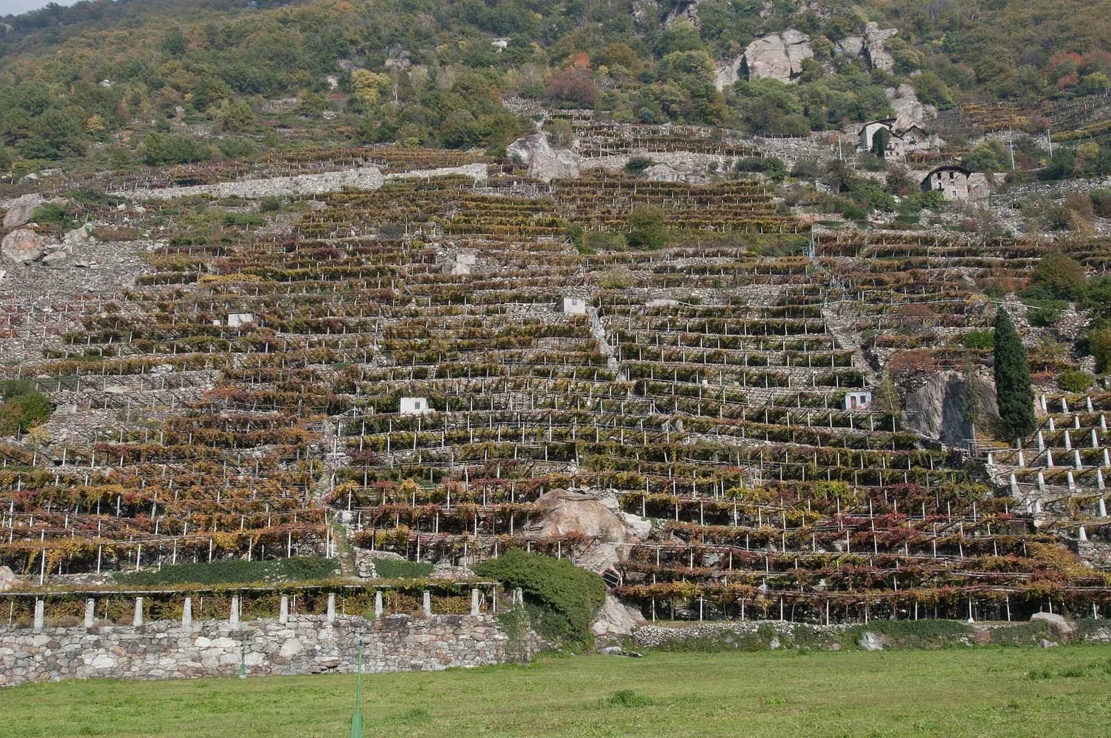
Bard is the lowest municipality in the Aosta Valley, its valley floor sitting at just 364 m. Dominated by the imposing Forte di Bard — a Napoleonic fortress rebuilt in the nineteenth century and now an internationally renowned museum — the village is the starting point for this demanding trail, which gains 1044 m over 5.2 km to reach the Tête de Cou at 1410 m. The route climbs wooded slopes in the Valle del Lys area, passing through dense beech and chestnut forest in the lower section before transitioning to mountain scrub higher up. The Tête de Cou offers views over the lower Valle del Lys and the Dora Baltea. Suitable for fit hikers comfortable with sustained steep gradients.
Getting there
Parking
Photo gallery
Photos are published immediately. JPG/PNG/WebP, max 6 MB.
Flora along the trail
ACurated and verified by Andrea Rama
Data source: Catasto Sentieri Regione Autonoma VdA · Open data — DGR 899/2014
Last verified:
Bassa Valle
Related trails
Same valley or similar routes — more hikes to explore.

Bassa Valle
Arsines - Col Fenetre
A short woodland climb from Arsines, above Arnad, to Col Fenêtre: a scenic pass of the lower Aosta Valley.

Bassa Valle
Barme - Carogne
1.6 km · +397 m · E — from Barme to Carogne (Valtournenche).

Bassa Valle
Barme - Omens
1.2 km · +284 m · E — from Barme to Omens (Valtournenche).
Bassa Valle
Biel - La Serra di Biel - Le Grand Chateau
3.9 km · +549 m · E — from Biel to Serra di Biel (Valsavarenche).