Bivacco Menabreaz
Warnings
- Low-traffic trail: carry an offline GPS track and leave your itinerary with someone
- High elevation gain: honestly assess your fitness level; not suitable for beginners
- Low starting elevation means a long day; plan time and energy accordingly
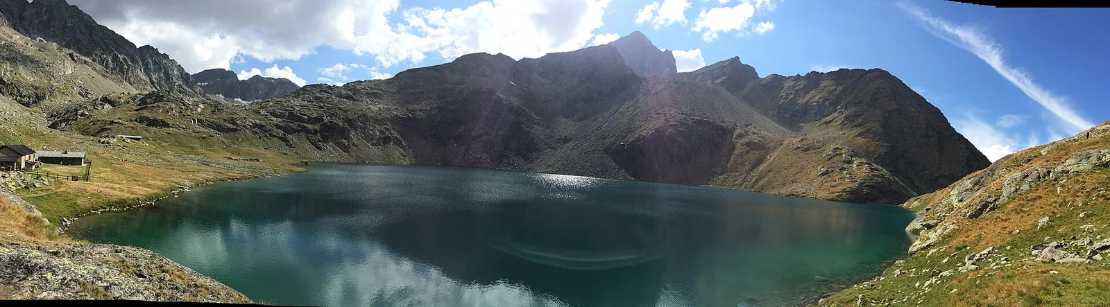
Map & route
GPX track — verify on the ground before hiking
Fitness level
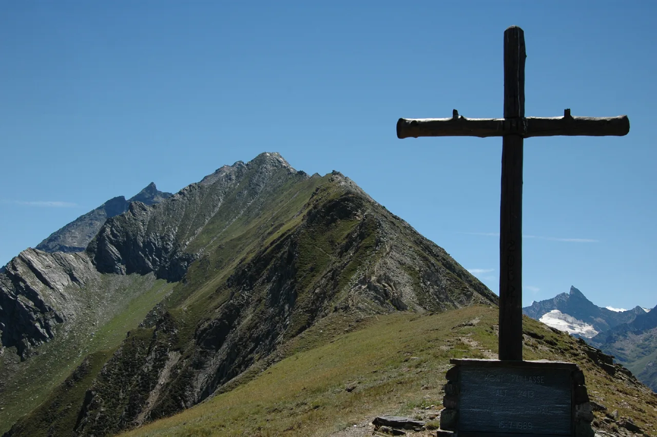
A trail that demands full commitment: from Grand Brissogne at 1042 metres the climb never relents across 7.4 kilometres and 1567 metres of elevation gain to the Bivacco Menabreaz at 2556 metres. This left orographic flank of the central Aosta Valley sees almost no visitor traffic, making it a genuine discovery for those seeking solitude and authentic alpine terrain. The E rating is well-earned — varied surfaces, an occasionally faint path, and the combined length and sustained gradient demand strong physical fitness. The upper pastures and ridgelines open onto sweeping panoramas of the main valley. A compelling choice for those who want to experience Valdostan mountain country away from the beaten track.
Getting there
Parking
Photo gallery
Photos are published immediately. JPG/PNG/WebP, max 6 MB.
Flora along the trail
Wildlife to spot
ACurated and verified by Andrea Rama
Data source: Catasto Sentieri Regione Autonoma VdA · Open data — DGR 899/2014
Last verified:
Valle centrale
Related trails
Same valley or similar routes — more hikes to explore.
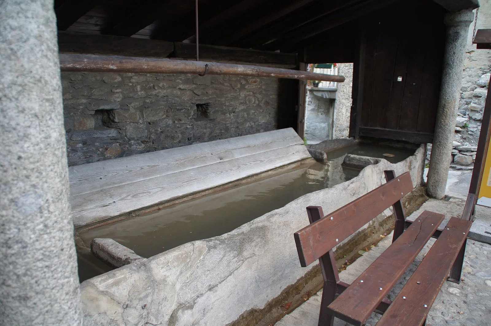
Valle centrale
Anello del Verrand
2.6 km · +233 m · E — from Château Verrand to Château Verrand (Rhêmes Valley).
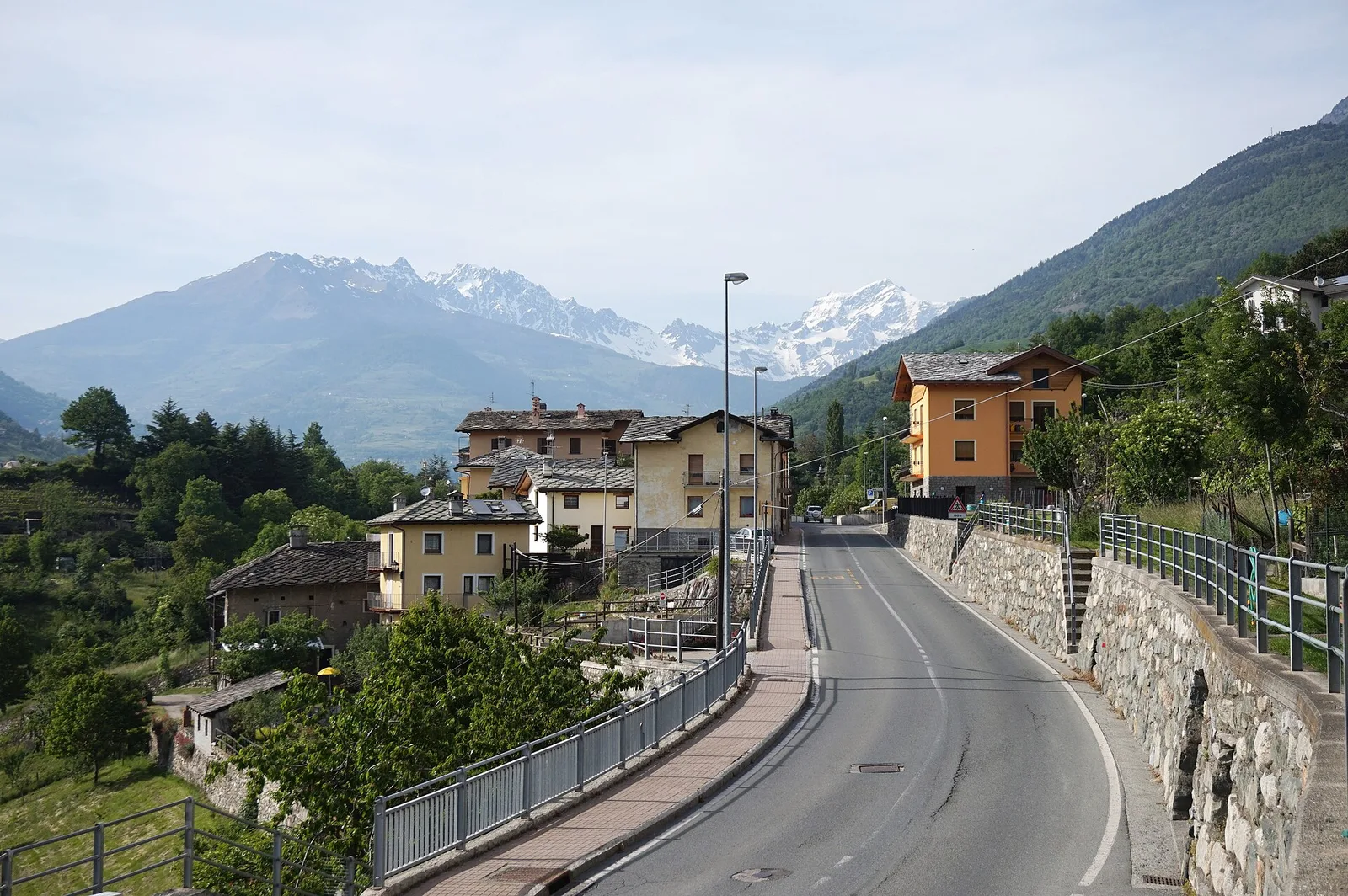
Valle centrale
Area giochi Croux - Parleyaz
4.1 km · +476 m · E — from Area giochi Croux to Parleyaz (Central Valley).
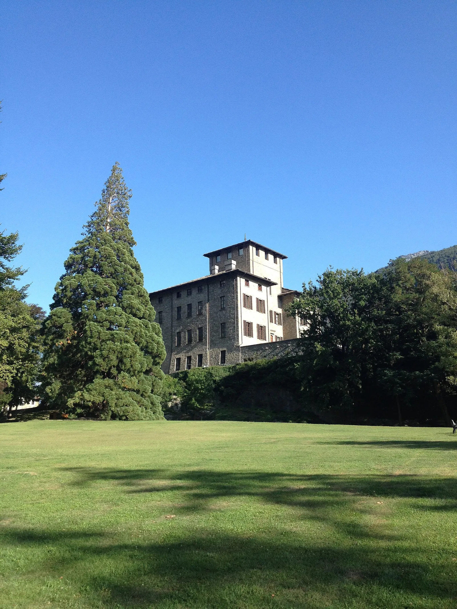
Valle centrale
Arlier - Cloutraz (Pontey)
From Arlier (603m) to Cloutraz (1067m) on the Châtillon hillside: 3.5 km E through vineyards, woodland and views over the Dora Baltea.
Valle centrale
Arpilles - Champromenty
2.1 km · +333 m · E — from Arpilles to Champromenty (Lys Valley).