Bivacco Menabreaz - Col d'Arbolle
Warnings
- High-altitude EE section: high-mountain experience obligatory.
- Snow and ice possible until late summer.
- High remoteness: carry emergency equipment.
Map & route
GPX track — verify on the ground before hiking
Fitness level
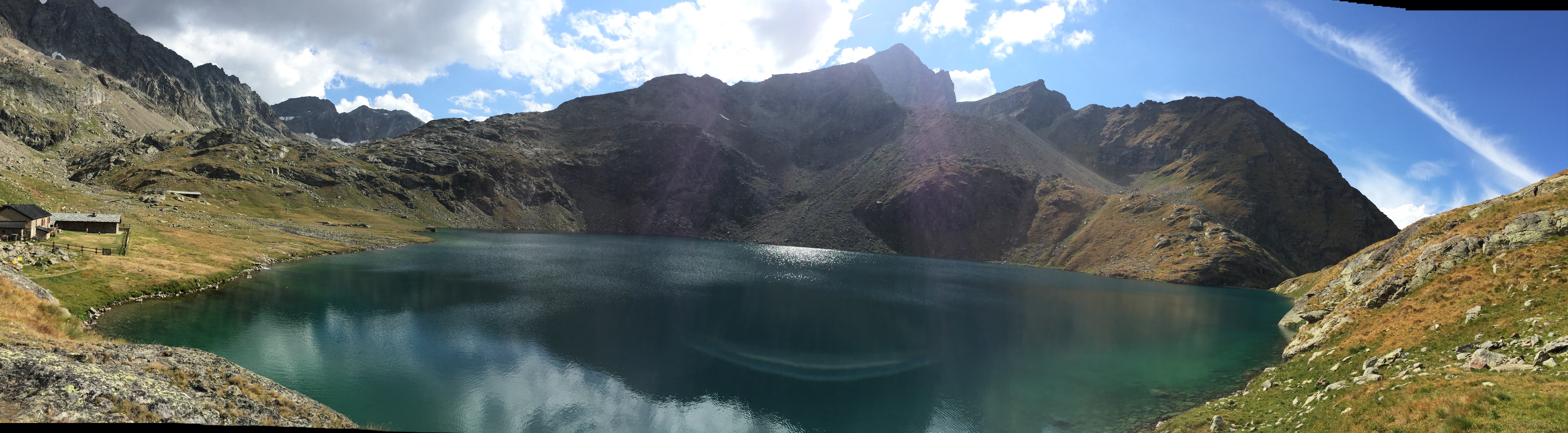
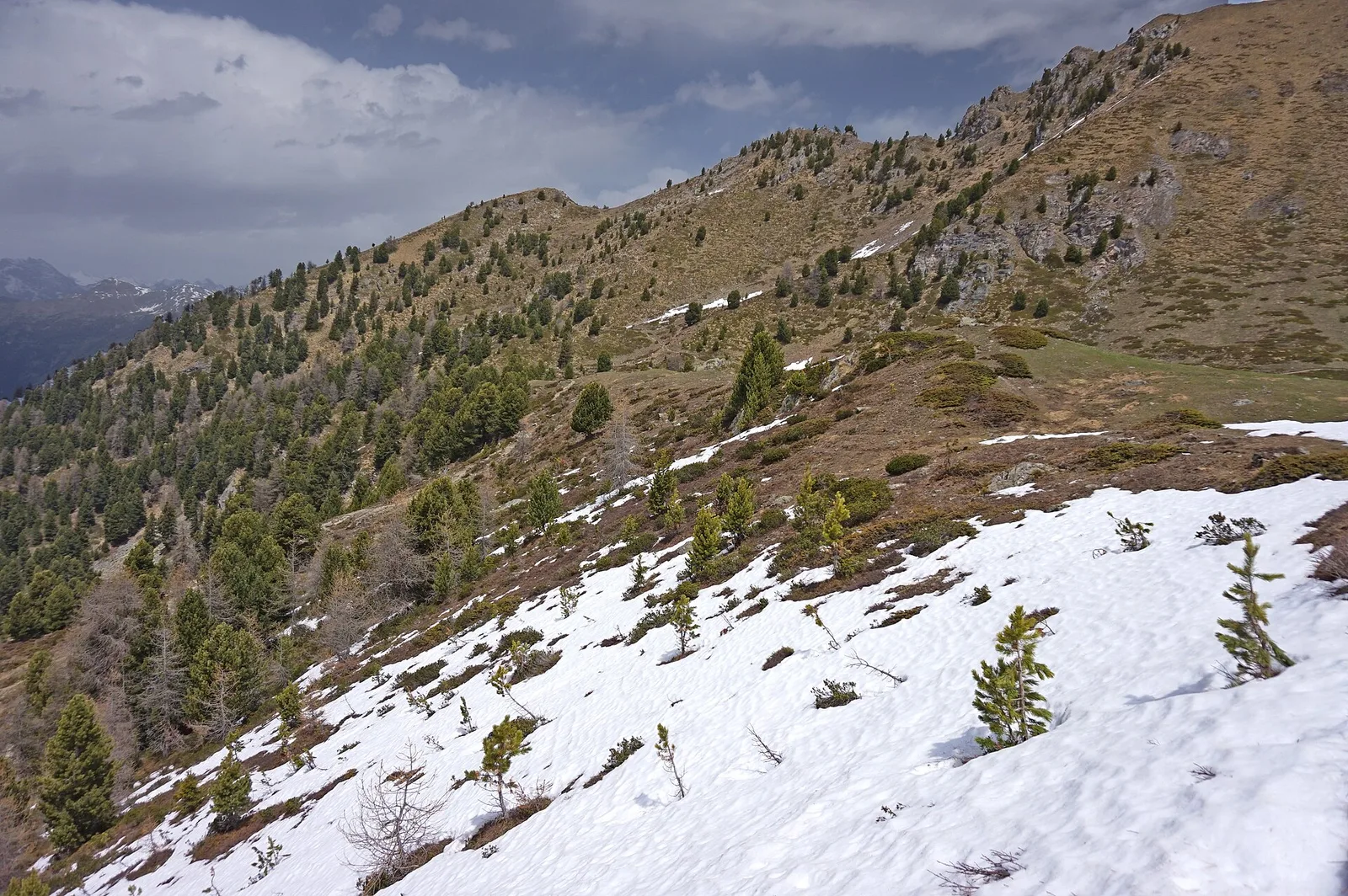
The section from Bivacco Menabreaz to Col d'Arbolle is the high section of a route reaching one of the most isolated passes in the Monte Emilius massif between Brissogne and Charvensod. The Bivacco Mario Ernesto Ménabreaz (2546 m) stands on the shores of Lago Les Laures and is the starting point. From the bivouac, the trail climbs to Col d'Arbolle (3154 m) with 604 m of ascent over 4.5 km, crossing a high-mountain environment of rocky walls, scree and ridgeline terrain between Punta Rossa and Monte Emilius. The EE rating reflects the high altitude, demanding terrain and difficulty of route-finding in the final section. Col d'Arbolle links the Brissogne valley with approaches to Pila and Charvensod.
Getting there
Parking
Photo gallery
Photos are published immediately. JPG/PNG/WebP, max 6 MB.
Flora along the trail
ACurated and verified by Andrea Rama
Data source: Catasto Sentieri Regione Autonoma VdA · Open data — DGR 899/2014
Last verified:
Val di Cogne
Related trails
Same valley or similar routes — more hikes to explore.
Val di Cogne
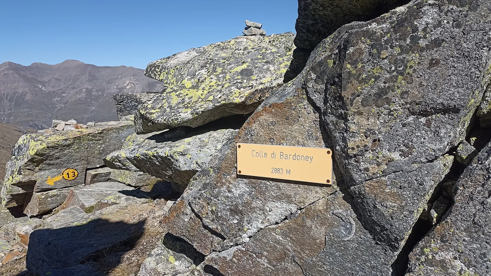
Alpe Bardoney (incrocio sentieri 12-13G)- Col de l'Arolla
5.3 km · +684 m · EE — from Alpe Bardoney (incrocio sentieri 12-13G) to Col de l'Arolla (Lys Valley).
Val di Cogne
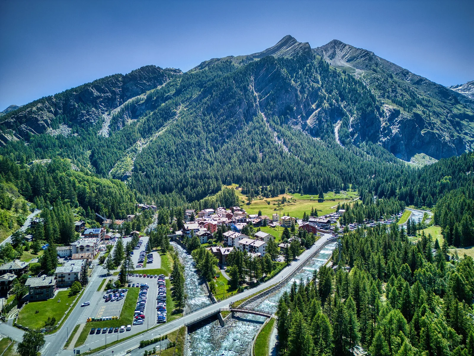
Antiche miniere di ferro di Colonna
3.8 km · +852 m · E — from Moline to Miniere di Colonna (Lys Valley).
Val di Cogne
Arpisson - Col Chasèche
2.3 km · +498 m · E — from Arpisson to Col Chasèche (Lys Valley).
Val di Cogne
Arrivo impianto risalita Chamolé- Tête Noire
1.4 km · +497 m · E — from Arrivo impianto risalita Chamolé to Tête Noire (Lys Valley).