
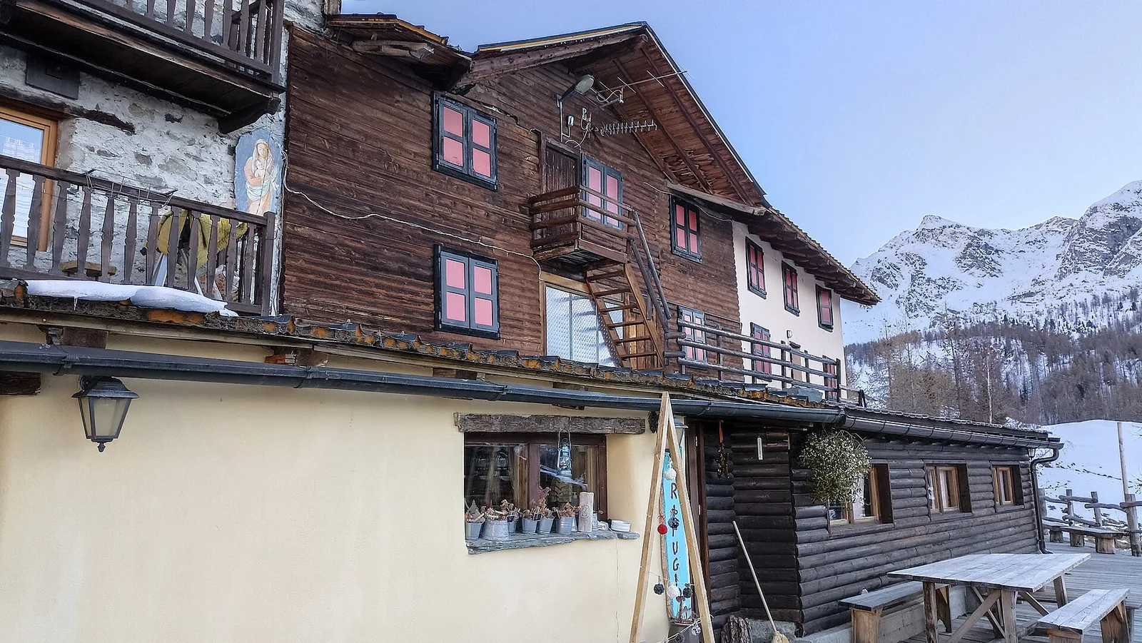
EE
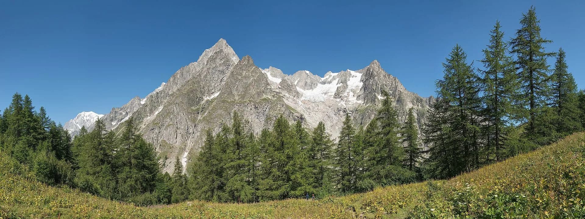
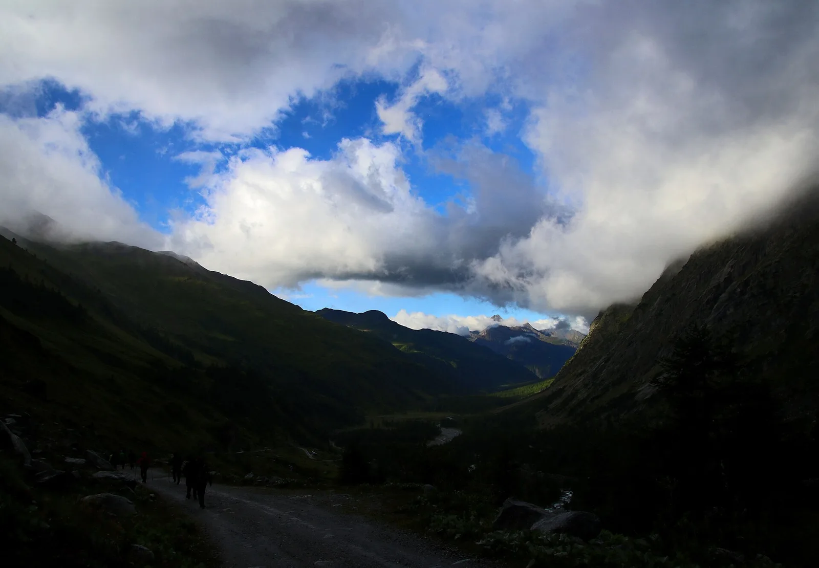
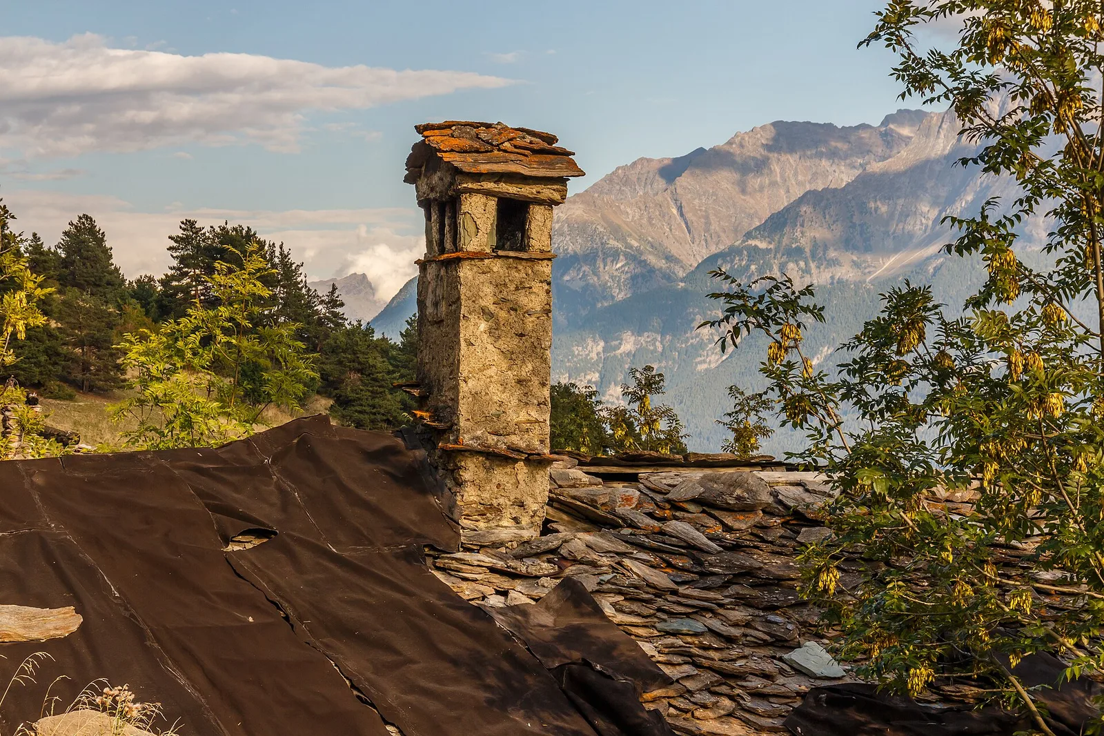
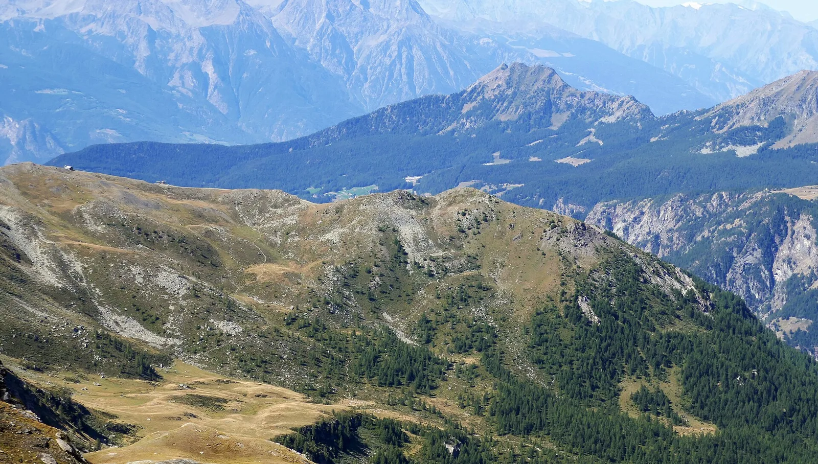
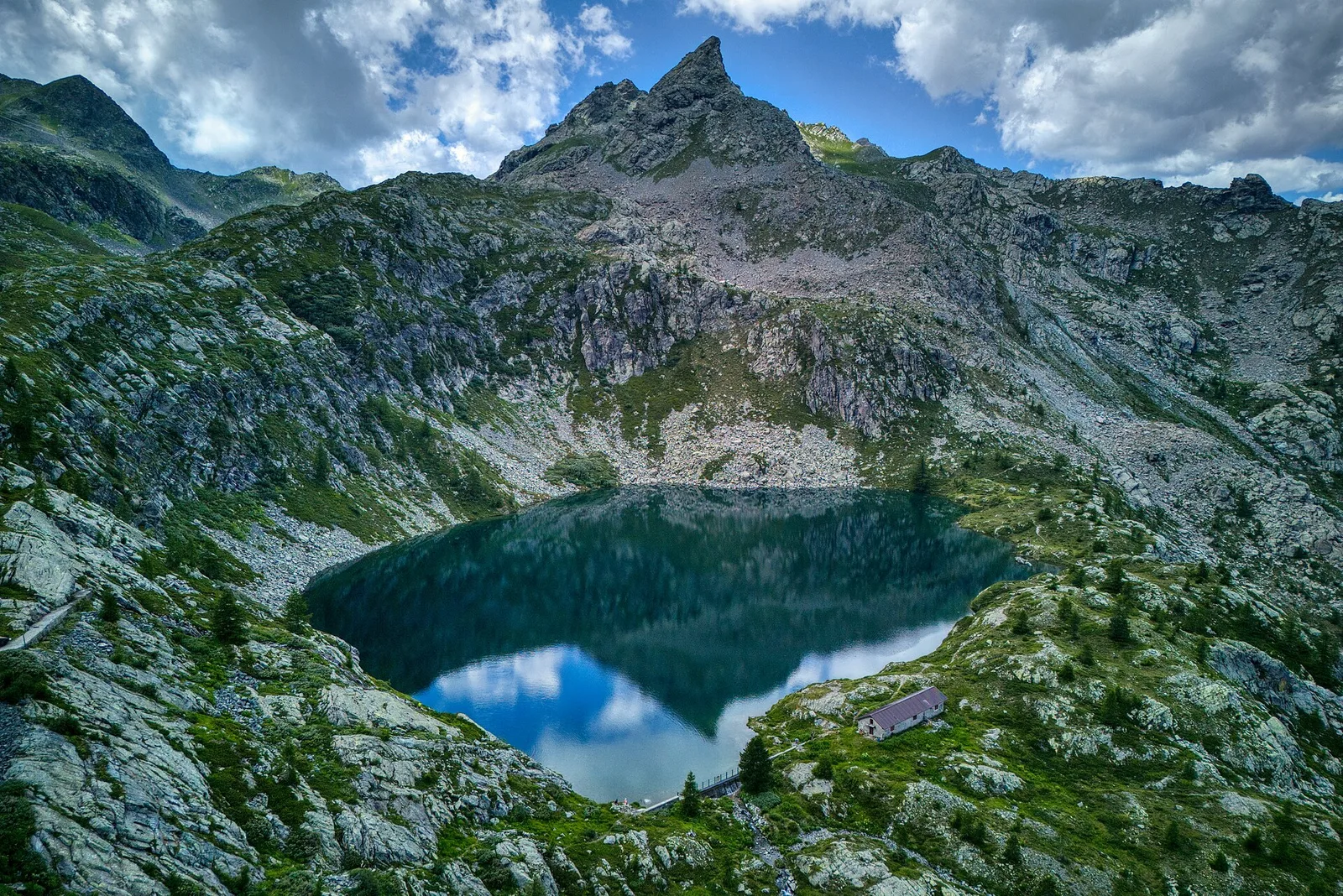
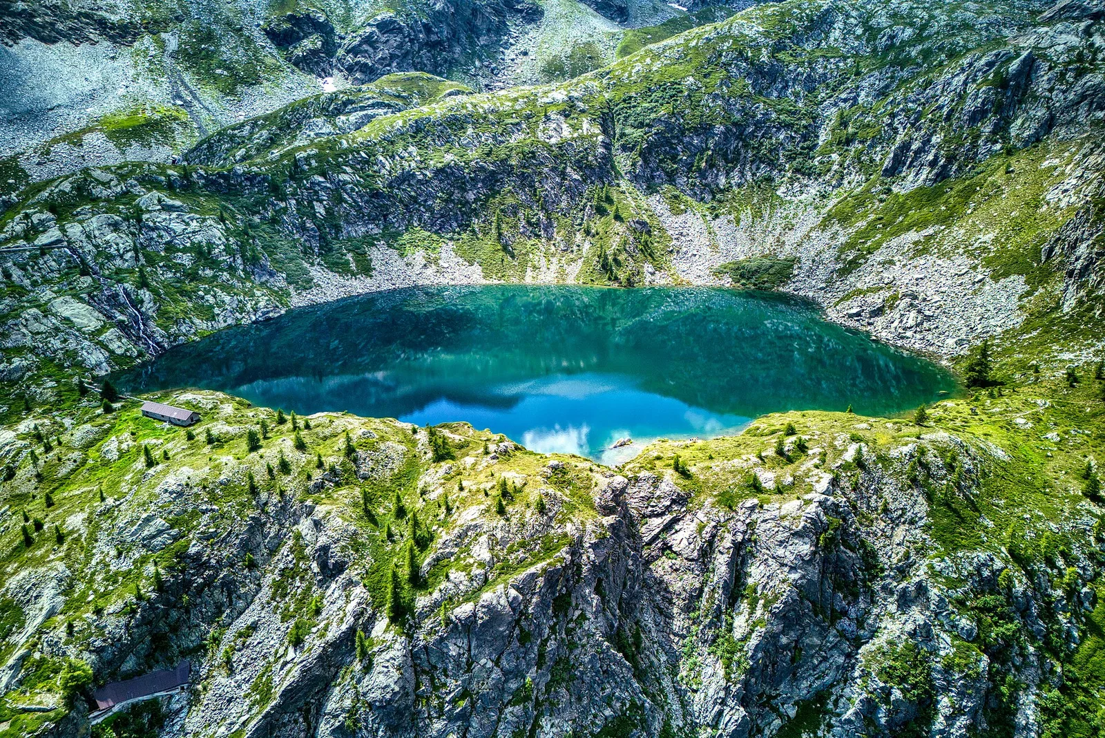
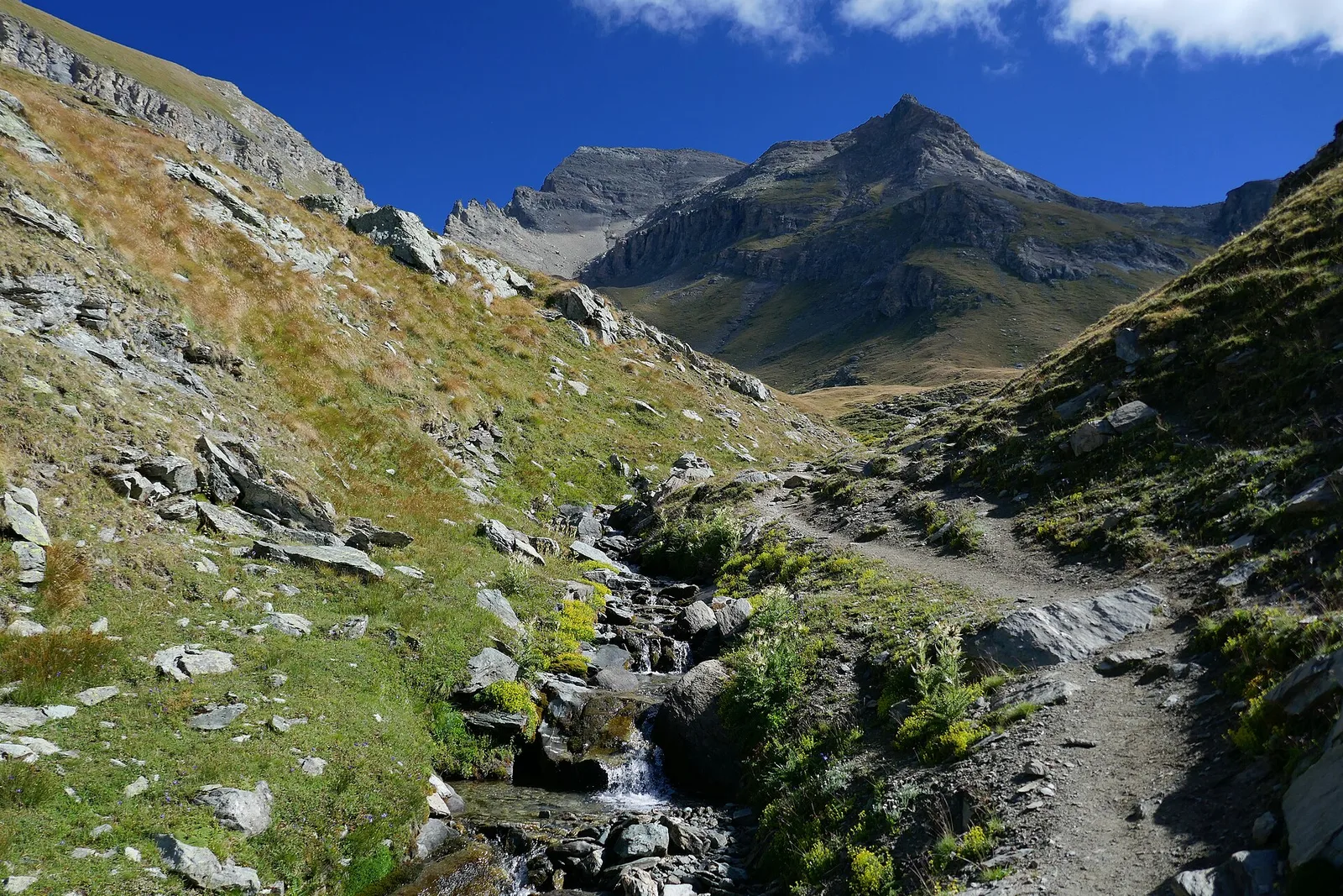
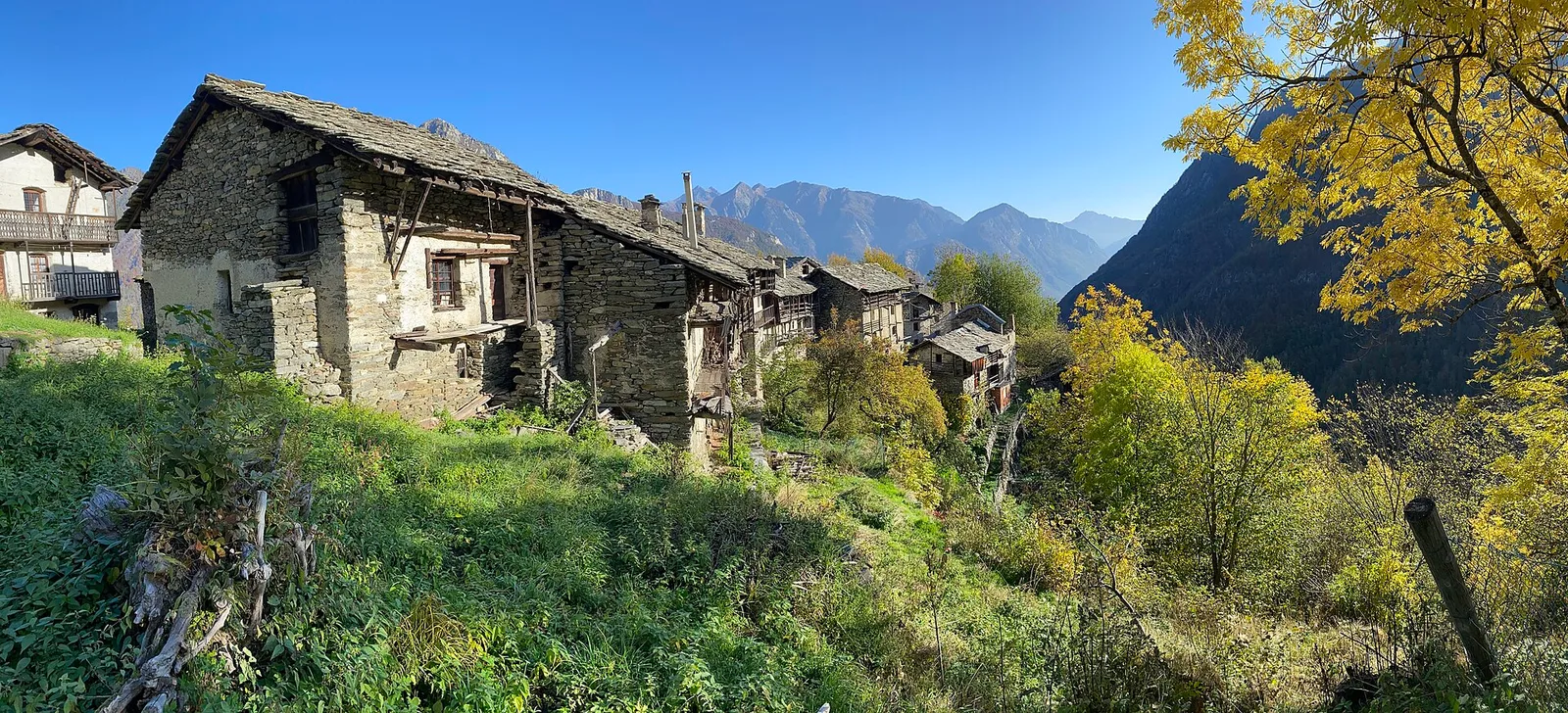
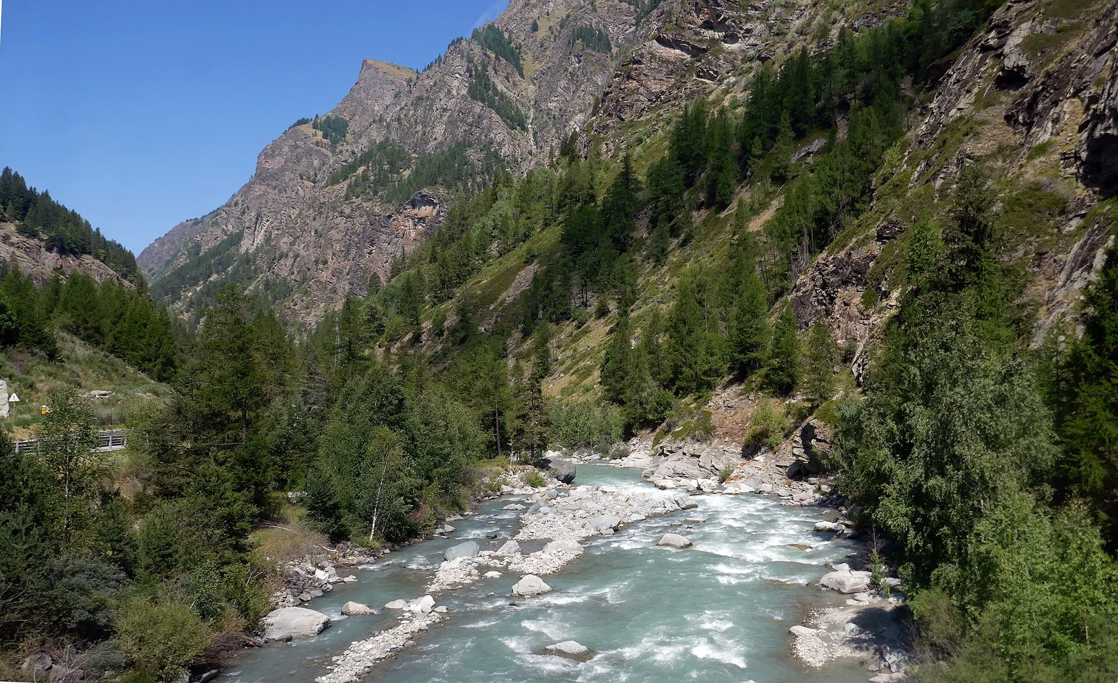
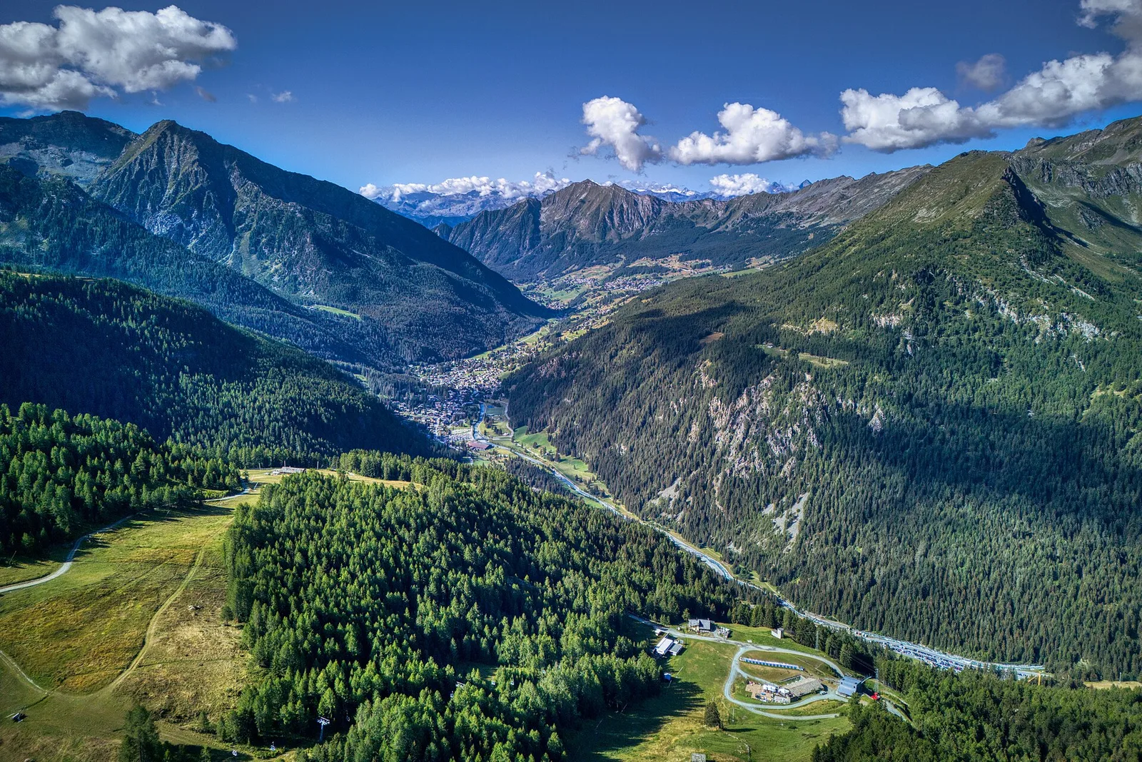
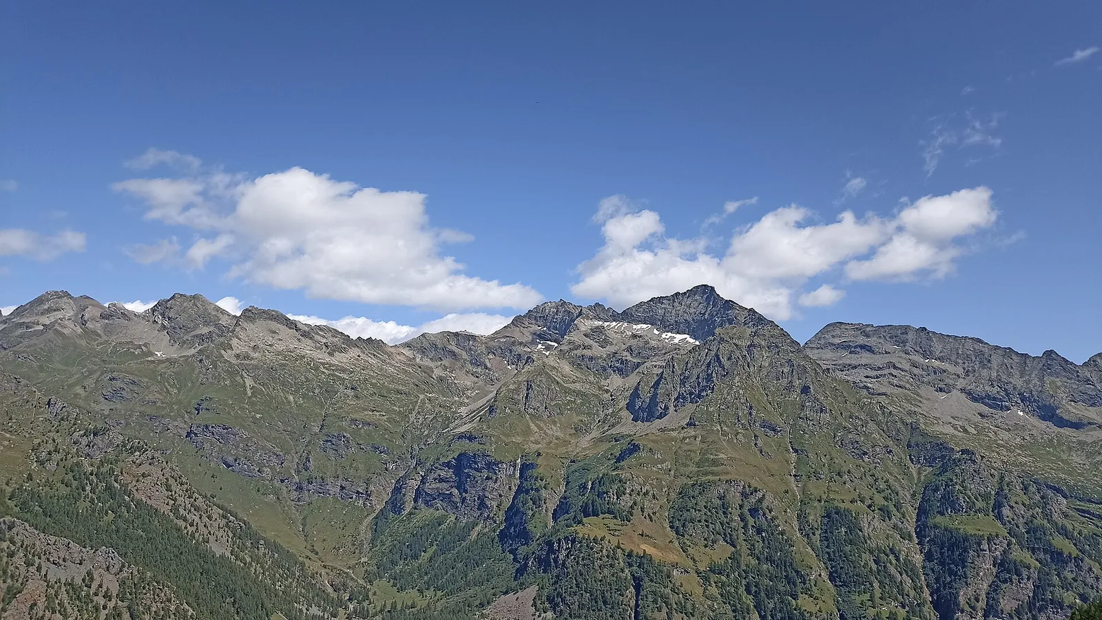
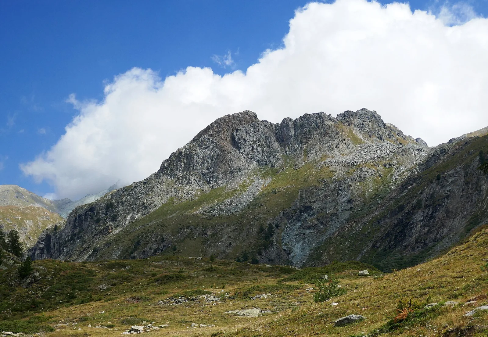
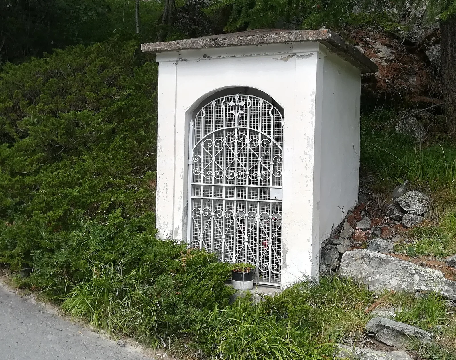
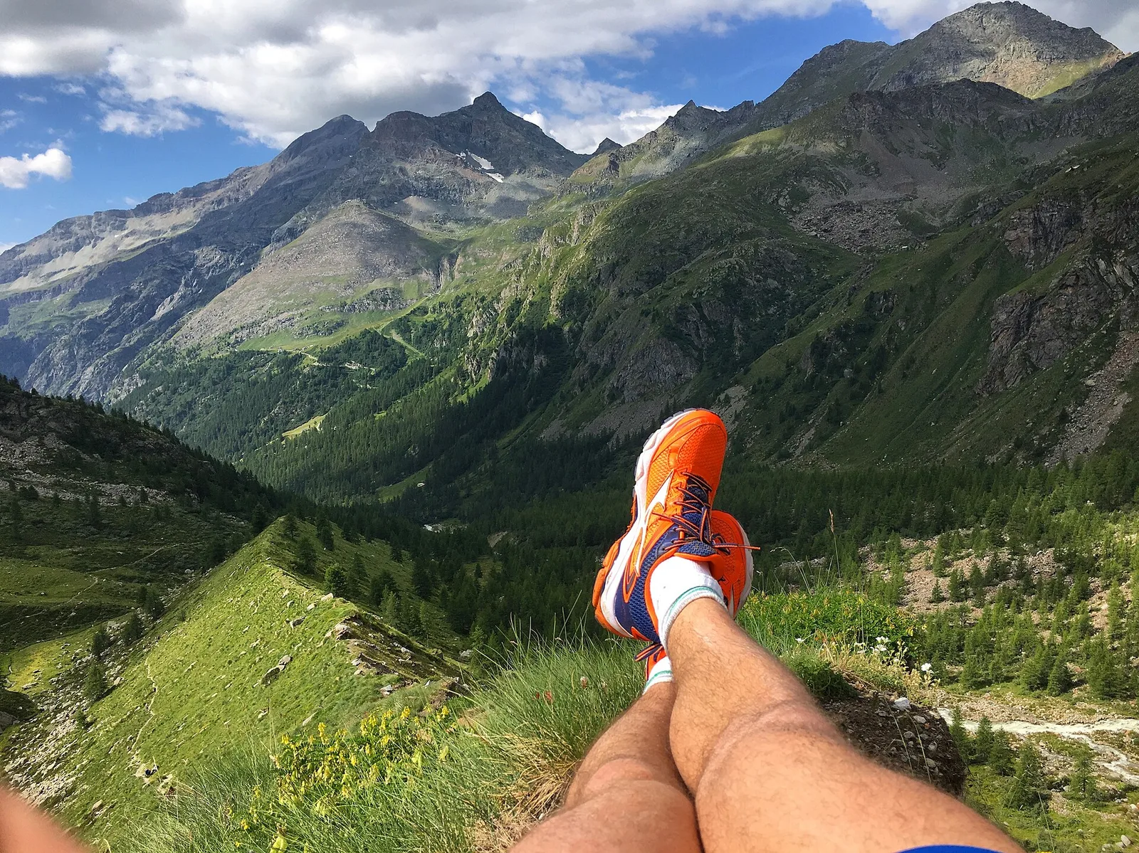
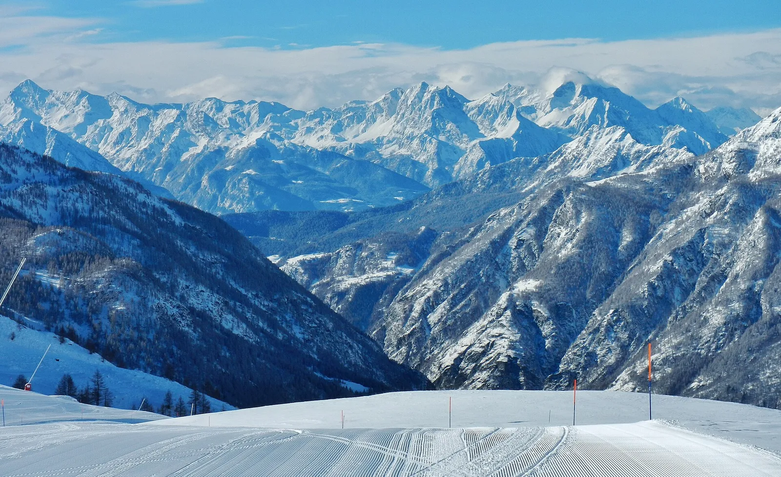
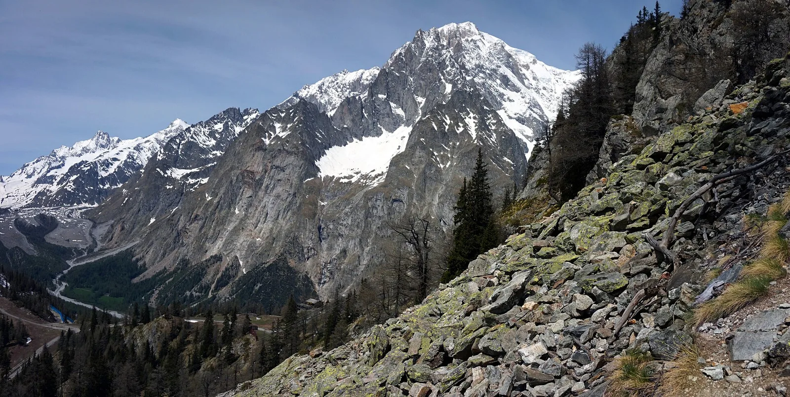
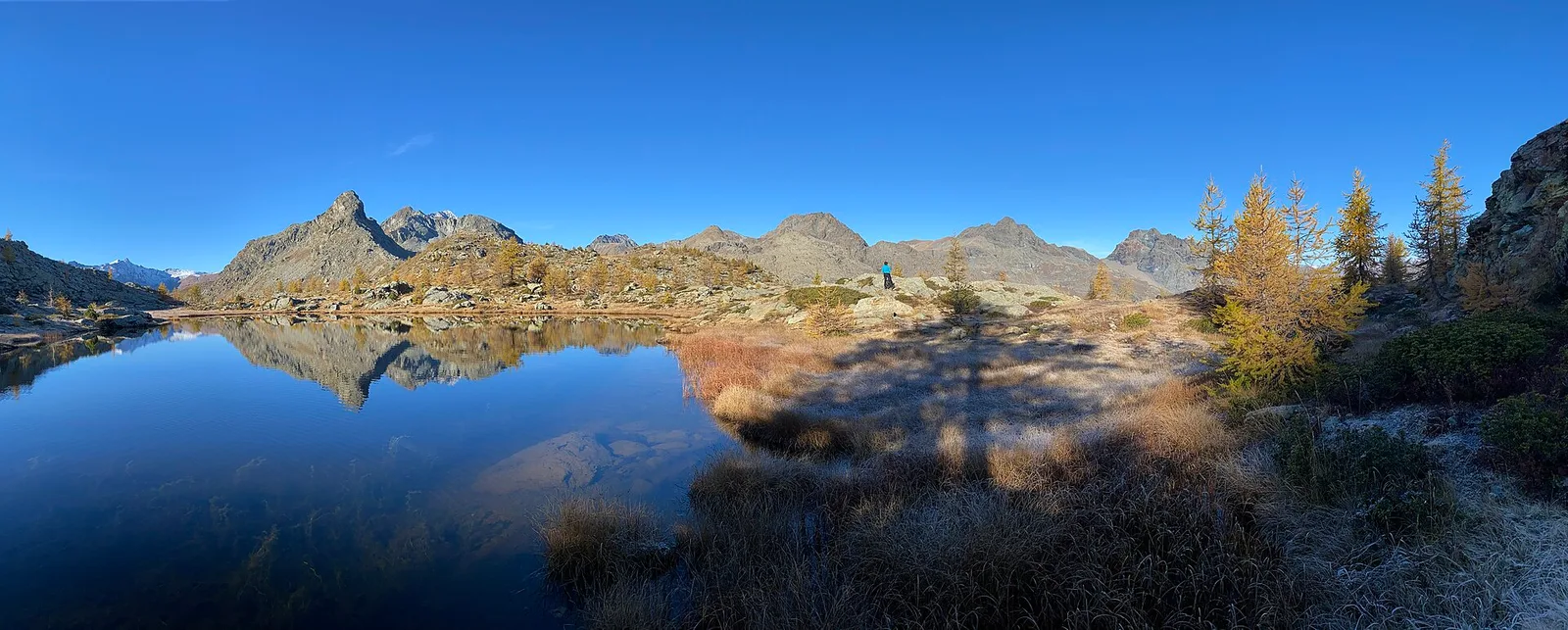
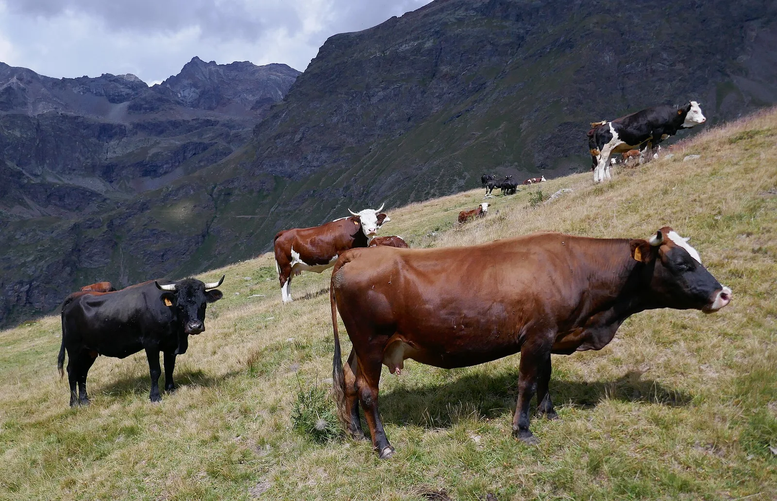
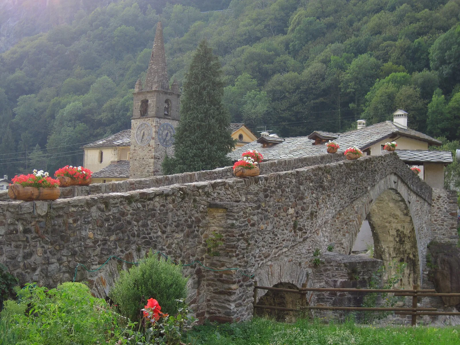
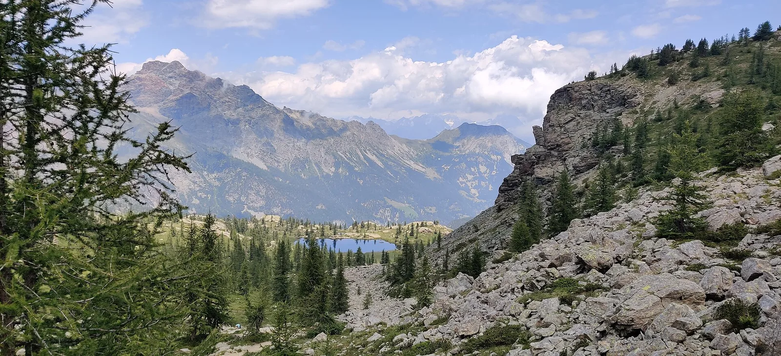
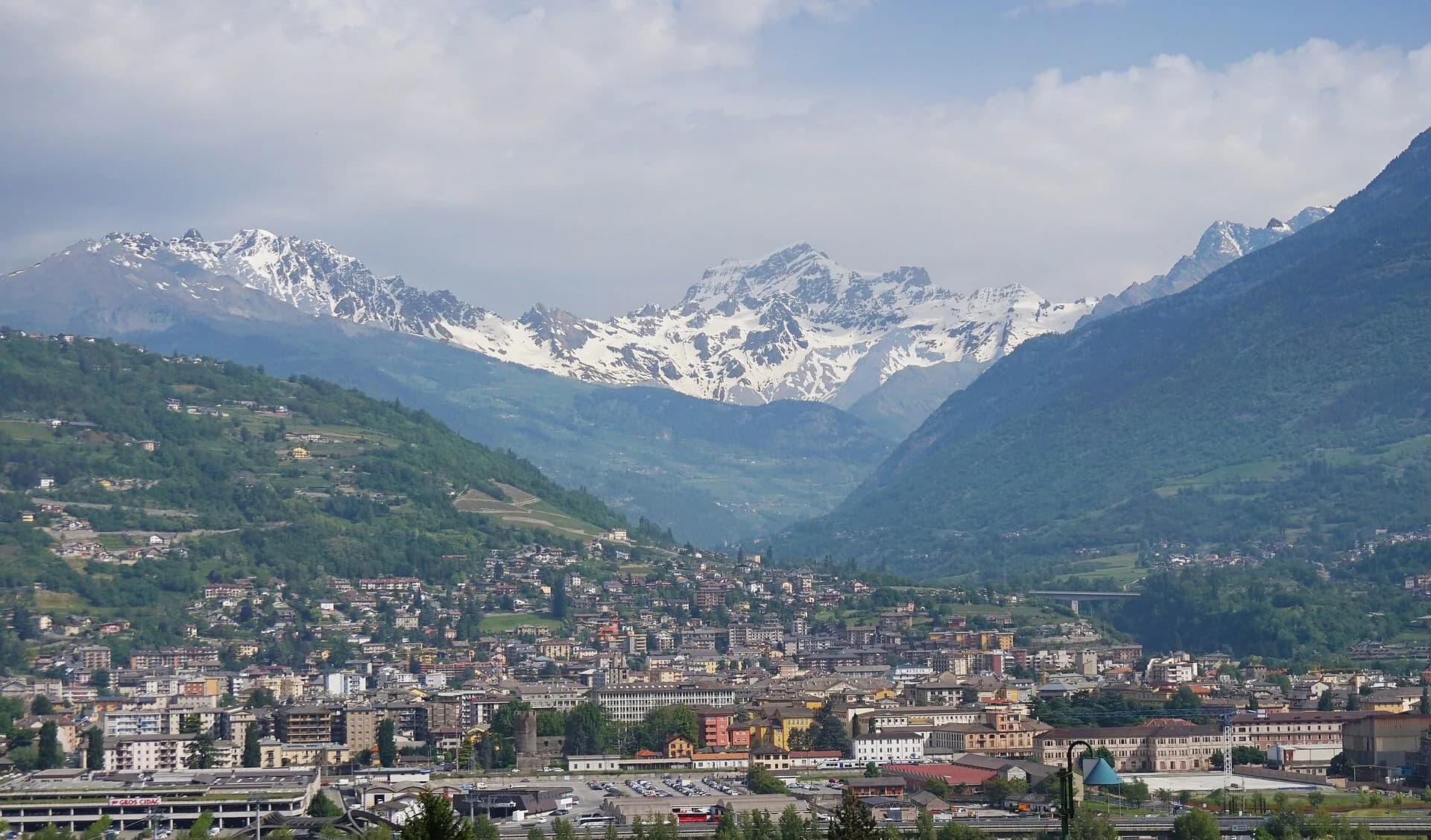
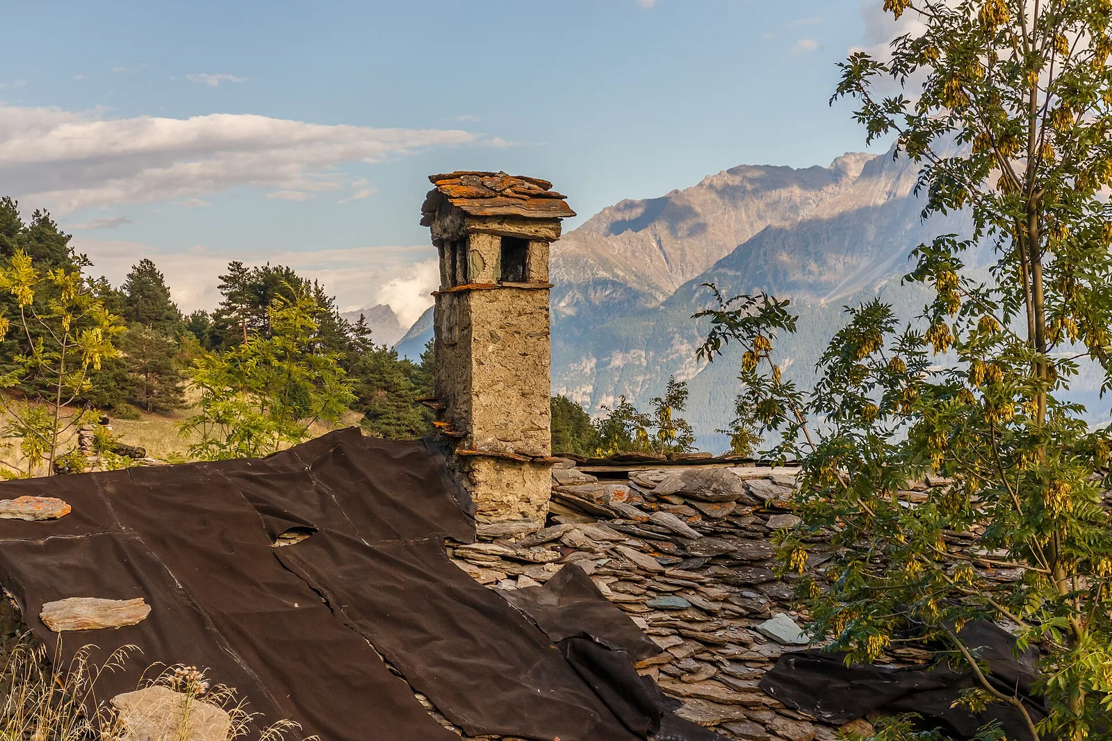
Valle del Lys
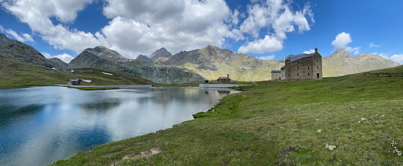
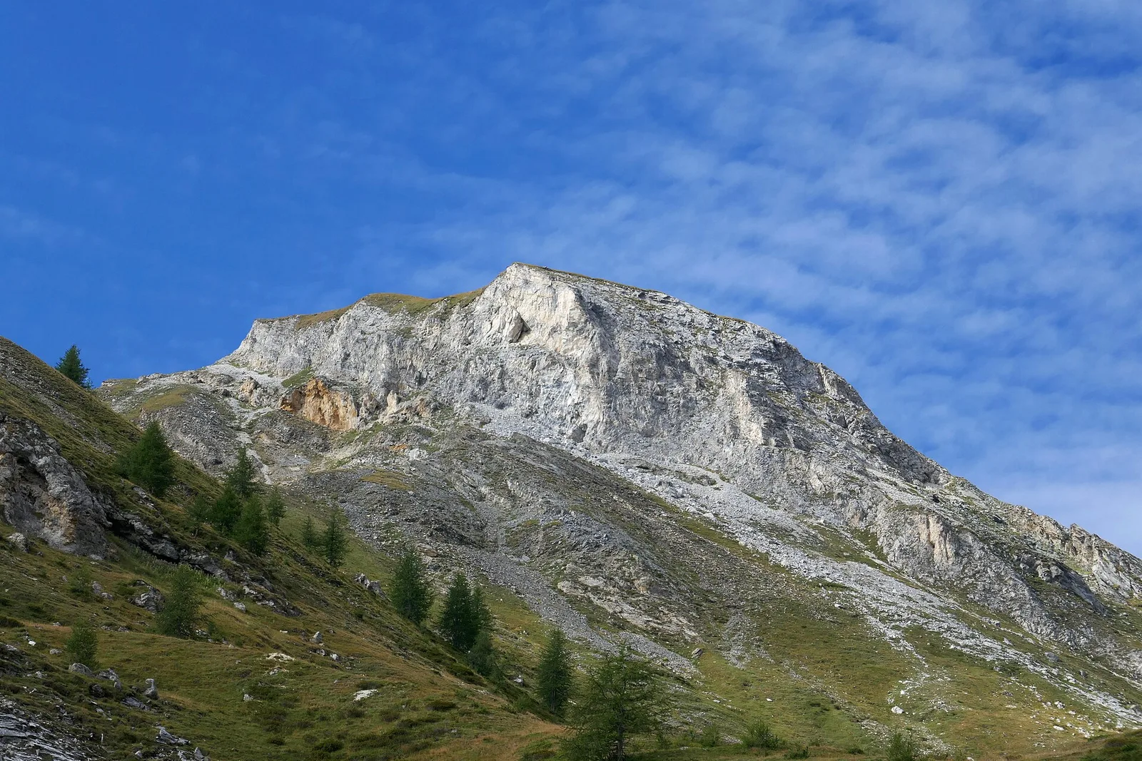
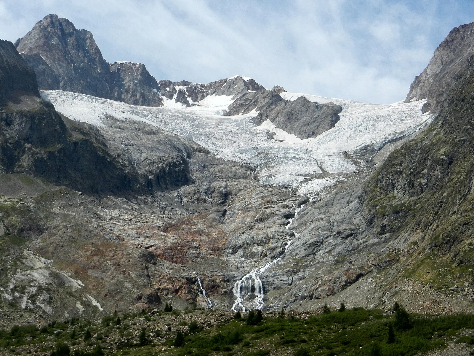
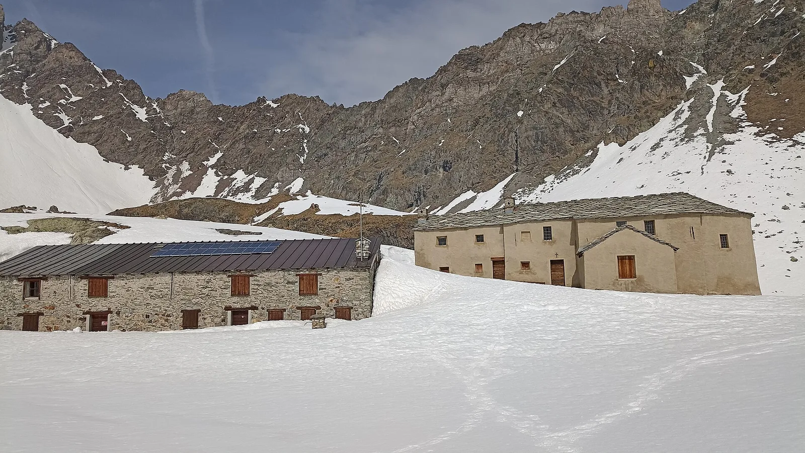
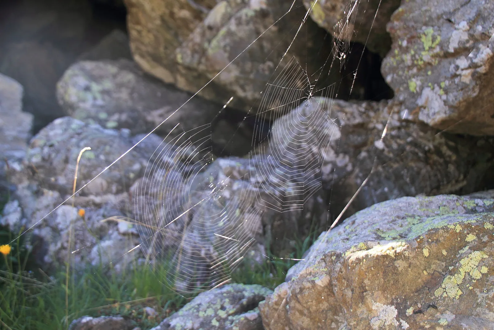
Alpe Bardoney (incrocio sentieri 12-13G)- Col de l'Arolla
5.3 km · +684 m · EE — from Alpe Bardoney (incrocio sentieri 12-13G) to Col de l'Arolla (Lys Valley).
5.3 km+684 m3 h
Trails by difficulty
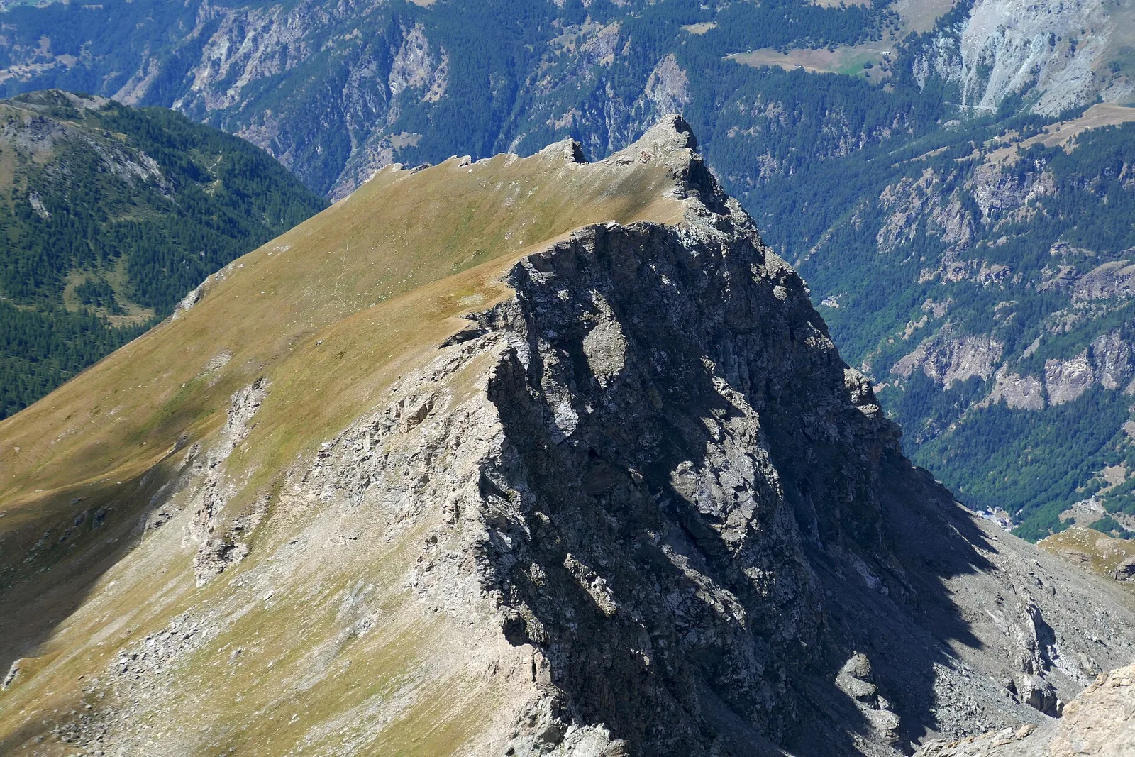
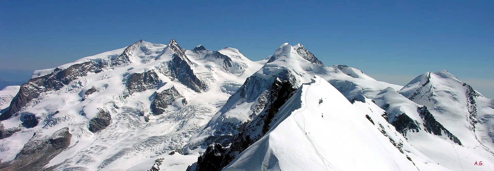
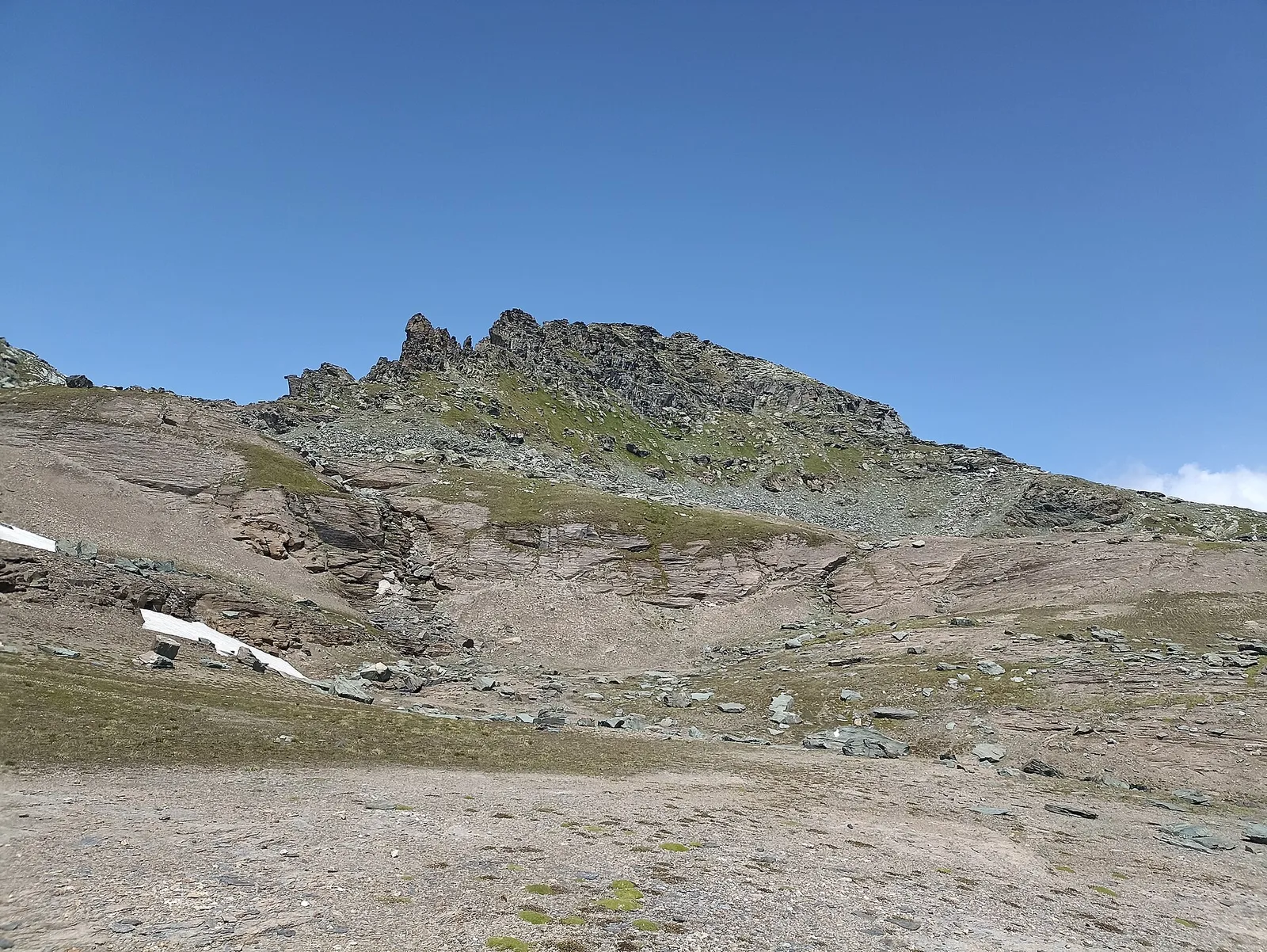
183 trails rated for expert hikers · CAI EE/EEA (CAI scale): EE–EEA, distances 0.8–53.5 km, elevation gain 0–3545 m.
183 · 0.8–53.5 km · +0–3545 m
Valle del Lys
5.3 km · +684 m · EE — from Alpe Bardoney (incrocio sentieri 12-13G) to Col de l'Arolla (Lys Valley).

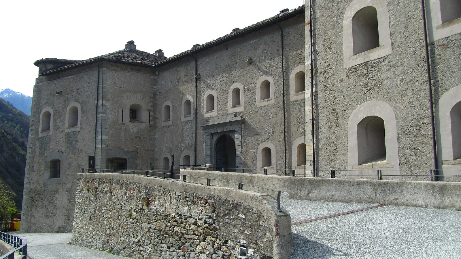
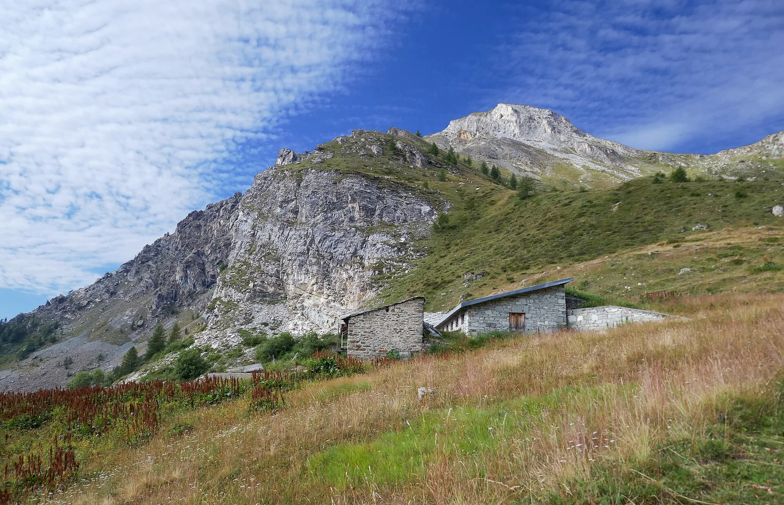
Valtournenche — Val Saint-Barthélemy
The wild heart of the Alta Via: 17 km across Fenêtre de Tsan, Col Terray and on to Rifugio Oratorio di Cuney, with Matterhorn and Grand Combin dominating a horizon of 2700-metre passes.

Valpelline
From the Sanctuary of Cuney to the Valpelline: a long descent over exposed ridges with short scramble sections, ending at Oyace in the heart of the Aosta Valley's most untouched valley.

Valpelline
The wild Valpelline: Oyace and Ollomont sit at nearly the same elevation, but Col Brison at 2520 m demands over 1100 m of climbing with views to Mont Vélan and Grand Combin on the Swiss border.
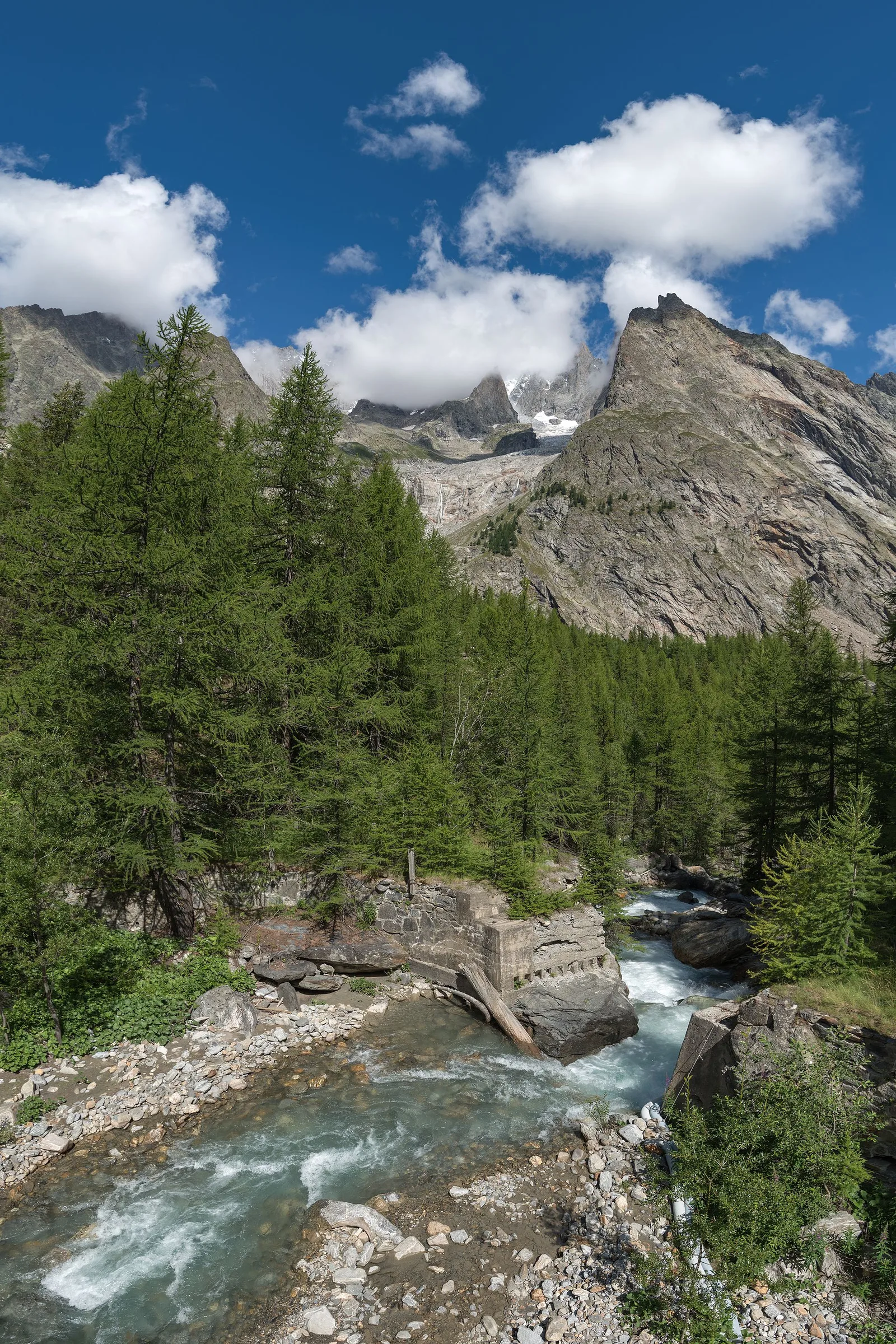
Val Ferret
Col Malatrà at 2925 m is the rooftop of Alta Via 1: from the panoramic crest above Mont Blanc the trail descends into Val Ferret to the legendary Rifugio Walter Bonatti.

Valle di Gressoney
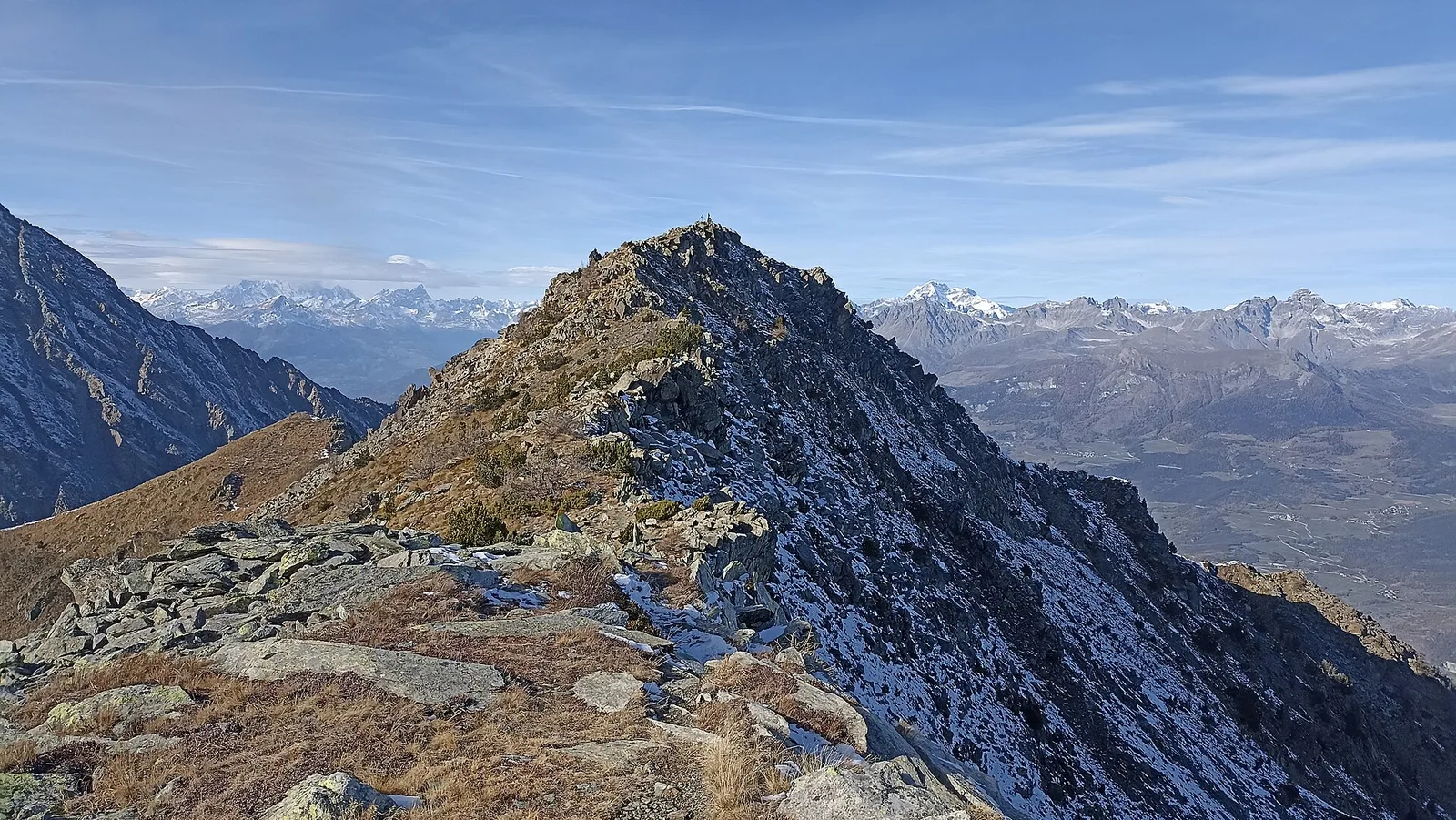
The longest stage in this sequence: 18 km of solitary ridge walking above the Lys valley with Monte Rosa views, ending in the Walser town of Gressoney-Saint-Jean.

Valle di Gressoney — Valle d'Ayas
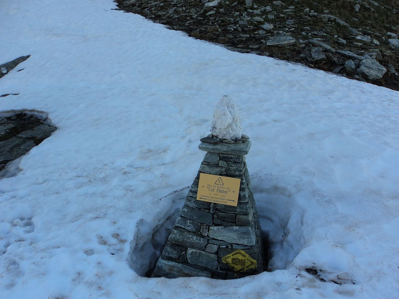
Crossing Col Pinter at 2777 m is the highlight of this stage: a wild pass between two alpine valleys where Monte Rosa dominates the entire eastern horizon.

Valle d'Ayas
From the ridges above Champoluc to Rifugio Grand Tournalin with the Matterhorn always in view: high-mountain terrain with sweeping panoramas over the Ayas valley and its pastoral landscape.

Champorcher
Long stage to Crest-Damon with climb to Colle della Fricolla.

Valsavarenche
Highest stage on VdA High Routes: Col du Loson (3296 m) and Rifugio Vittorio Sella.

Valle centrale
7.5 km · +1488 m · EE — from Amponey to Becca Trecare (Central Valley).

Valle centrale
6.2 km · +1467 m · EE — from Amponey to Bec de Nannaz (Central Valley).

Valle centrale
5.6 km · +1077 m · EE — from Amponey to Mont Facebelle (Central Valley).

Valle del Gran San Bernardo
8.9 km · +996 m · EEA — from Niel to Niel (Great St Bernard Valley).
Val d'Ayas
9.4 km · +1238 m · EE — from Isollaz to Isollaz (Ayas Valley).
Valle del Gran San Bernardo
3.4 km · +997 m · EEA — from Area pic-nic Plan Veny to Rifugio Monzino (Great St Bernard Valley).
Valle del Gran San Bernardo
6.8 km · +929 m · EE — from Arp-Nouva to Colle des Angrognettes (Great St Bernard Valley).
Valle del Gran San Bernardo
2.8 km · +678 m · EE — from Arp.Nouva to Biv. Comino (Great St Bernard Valley).
Valle del Gran San Bernardo
4.2 km · +814 m · EE — from Arp.Nouva to Rifugio Dalmazzi (Great St Bernard Valley).
Valdigne
4.7 km · +1021 m · EE — from Artaz to Mont Tantané (Valdigne).
Valle centrale
2.7 km · +804 m · EE — from Avouil to Rifugio Bobba (Central Valley).
Valgrisenche
7.7 km · +1065 m · EE — from Bellon to Tsa de la Comba (Valgrisenche).
Valpelline
3.3 km · +507 m · EE — from Berzin to Cappella di Saint-Evence (Valpelline).

Valle centrale
4.5 km · +604 m · EE — from Bivacco Menabreaz to Col d'Arbolle (Central Valley).

Valle centrale
3.2 km · +557 m · EE — from Bivacco Menabreaz to Col de Leppe (Central Valley).

Valle centrale
4 km · +486 m · EE — from Bivacco Menabreaz to Col des Laures (Central Valley).
Valle centrale
5.2 km · +1128 m · EE — from Blanchard to Bivacco Città di Mariano (Central Valley).
Valle centrale
9 km · +1136 m · EE — from Blanchard to Lago Tzère (Central Valley).
Valle centrale
8.3 km · +1104 m · EE — from Blanchard to Colle Roisetta (Central Valley).
Valle centrale
8 km · +1167 m · EE — from Blanchard to Colle Inferiore Cime Bianche (Central Valley).
Valle centrale
9.4 km · +1869 m · EE — from Blanchard to Rifugio Quintino Sella (Central Valley).
Valle centrale
8.8 km · +1668 m · EE — from Blanchard to Rifugio Guide di Ayas (Central Valley).
Valle centrale
8.7 km · +2062 m · EE — from Bonavessy to Mont Crabun (Central Valley).
Valle centrale
3.7 km · +763 m · EE — from Breuil-Cervinia to Rifugio Bobba (Central Valley).
Valle centrale
5 km · +949 m · EE — from Breuil-Cervinia to Croce Carrel (Central Valley).
Valle centrale
7.1 km · +1234 m · EE — from Breuil-Cervinia to Anfiteatro del Furggen (Central Valley).
Valle centrale
8.6 km · +1322 m · EE — from Breuil-Cervinia to Col de Saint-Théodule (Central Valley).
Valle centrale
6.6 km · +0 m · EE — from Capiron to Gettaz (Central Valley).
Valle centrale
4.5 km · +937 m · EE — from Capiron to Mont Lyan (Central Valley).

Valle centrale
7.7 km · +1623 m · EE — from Champoluc to Bivacco Lateltin (Central Valley).
Valle centrale
8.2 km · +1814 m · EEA — from Champoluc to Testa Grigia (Central Valley).
Valtournenche
8.8 km · +1350 m · EE — from Champorcher to Col de la Fricolla (Valtournenche).
Valtournenche
6.7 km · +1139 m · EE — from Chardonney to Col Laris (Valtournenche).

Valle del Lys
5.4 km · +1018 m · EE — from Chardonney to Mont de Corquet (Lys Valley).
Val di Cogne
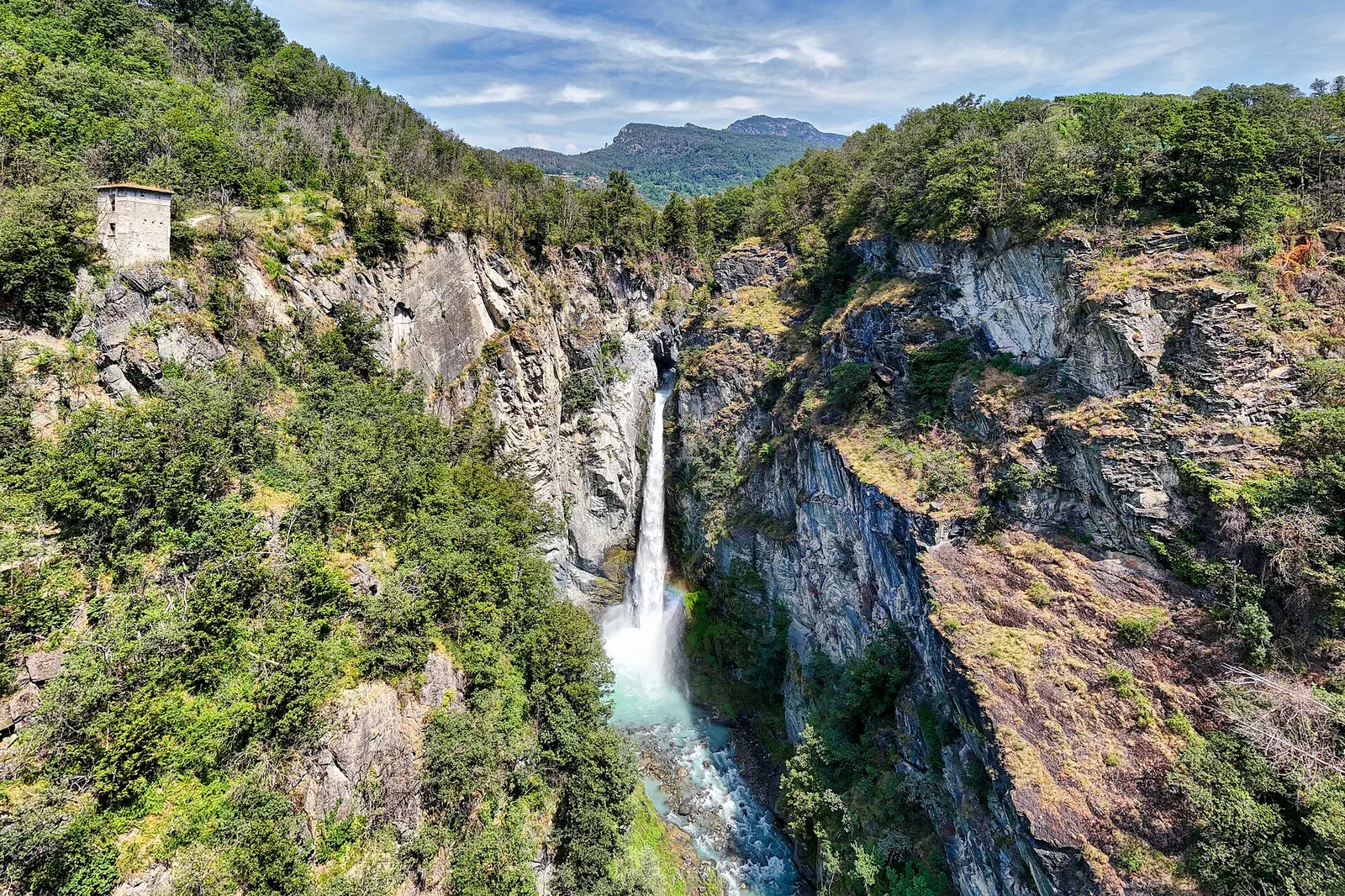
53.5 km · +0 m · EE — from Pont-Suaz to Capoluogo (Cogne Valley).
Valpelline
6.5 km · +813 m · EEA — from Châté to Becca d'Aver (Valpelline).
Valle centrale
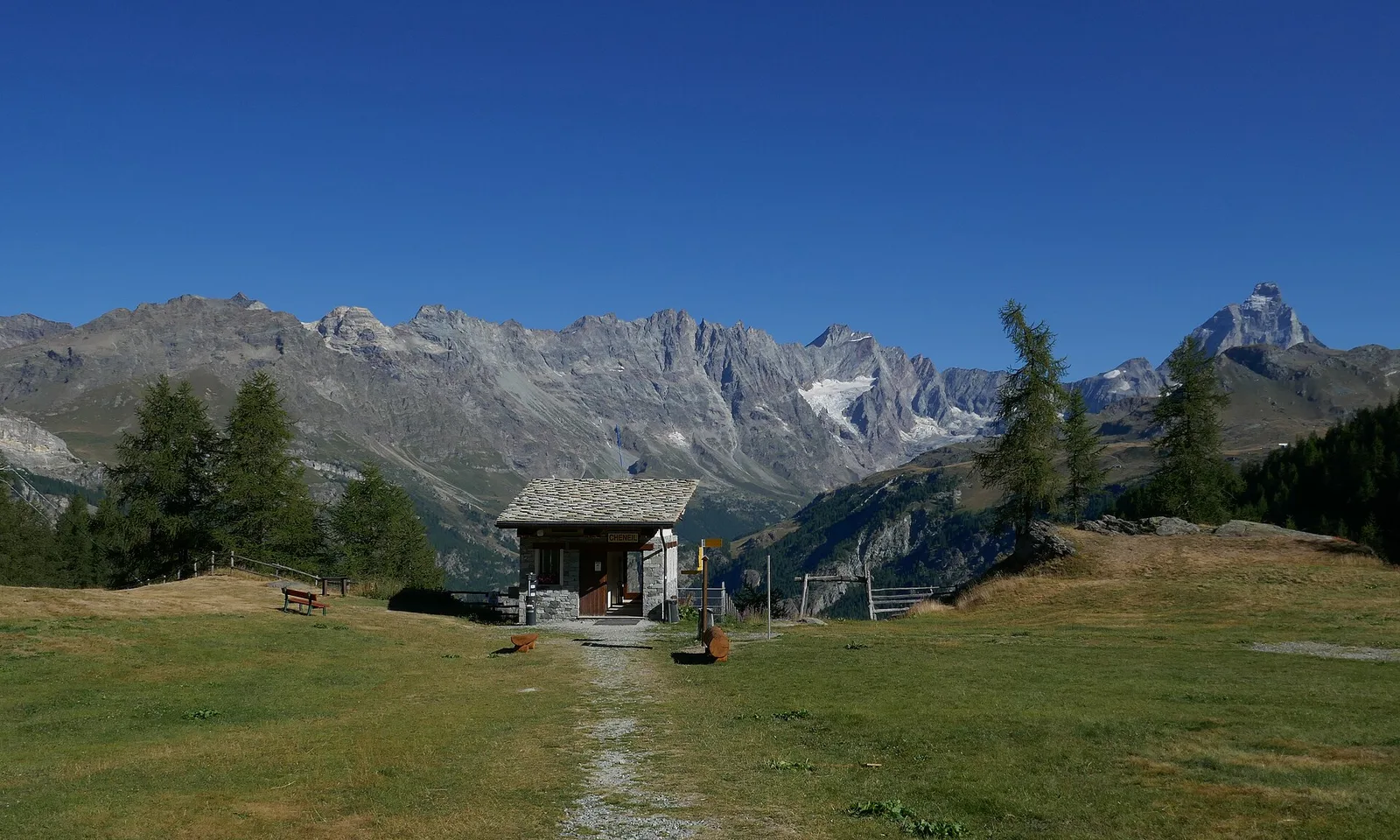
5 km · +1299 m · EE — from Parcheggio Cheneil to Mont Roisetta (Central Valley).
Valle del Lys
2.2 km · +494 m · EE — from Chez Boz to Prapremier (Lys Valley).

Valdigne
7.2 km · +1539 m · EE — from Cloutraz to Col Giron (Valdigne).
Valpelline
23.9 km · +0 m · EE — from Col Collon to Col de Crêtes Séche (Valpelline).
Valpelline
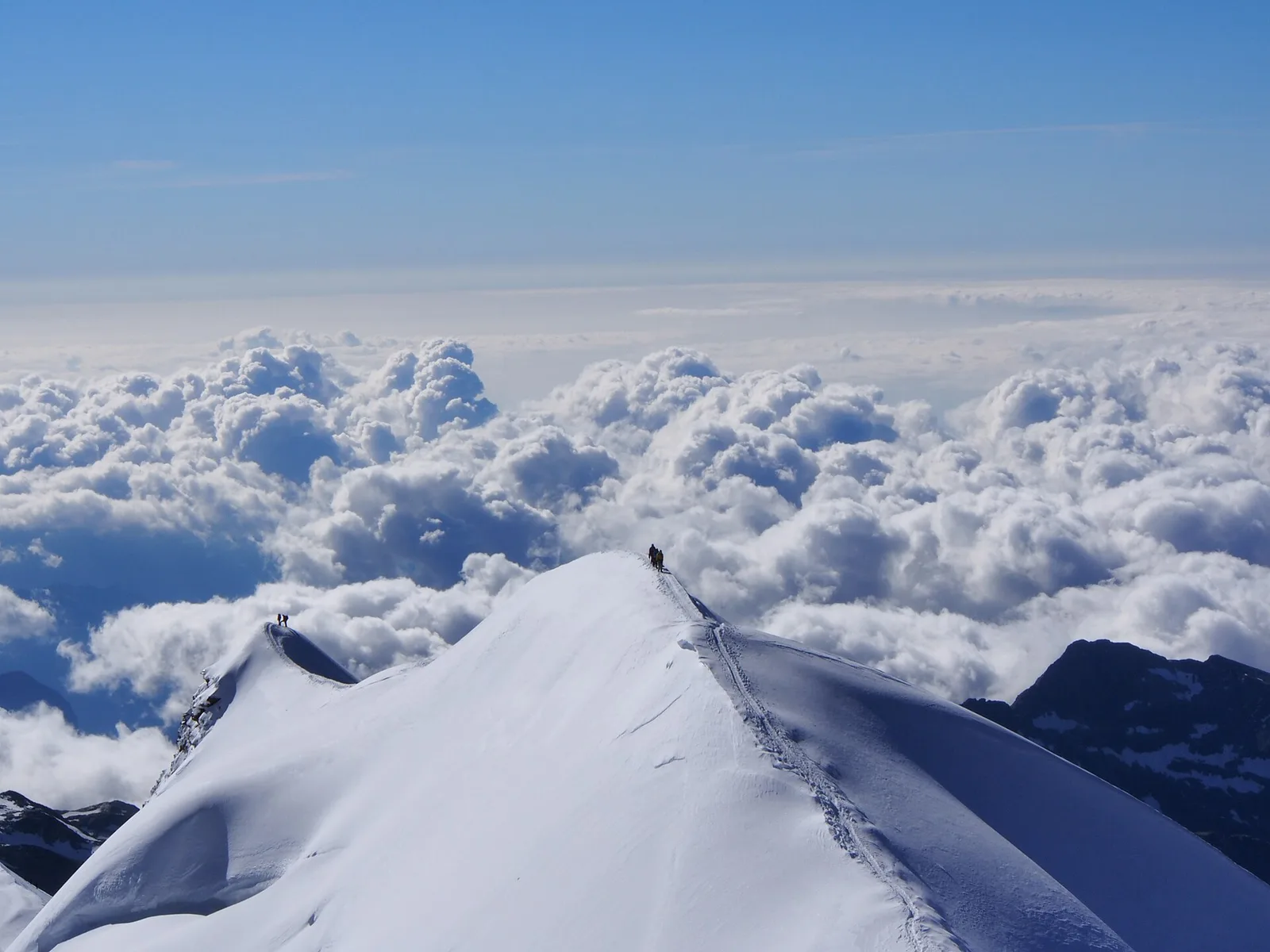
33.1 km · +2969 m · EE — from Col Collon to Colle del Teodulo (Valpelline).
Valtournenche
32.2 km · +3545 m · EE — from Col de Bonze to Col Laris (Valtournenche).

Valle del Lys
3.3 km · +0 m · EEA — from Col TsaSeche to Col del Drink (Lys Valley).
Valle del Lys
4.4 km · +920 m · EEA — from Colle Bettaforca to Rifugio Quintino Sella (Lys Valley).
Valle centrale
3.6 km · +586 m · EE — from Illiaz Perron to Colle Roisetta (Central Valley).
Valle del Gran San Bernardo
5.8 km · +1129 m · EE — from Dolonne to Mont-Chetif (Great St Bernard Valley).
Valtournenche
7.8 km · +1098 m · EE — from Dondena to Mont Glacier (Valtournenche).

Valle del Gran San Bernardo
12.3 km · +1264 m · EE — from Druges to Bivacco Menabreaz (Great St Bernard Valley).

Valle del Gran San Bernardo
13.4 km · +1593 m · EE — from Druges to Col de Leppe (Great St Bernard Valley).
Valle del Gran San Bernardo
10.8 km · +1062 m · EE — from Druges to Grande Chaux (Great St Bernard Valley).
Valtournenche
2.9 km · +832 m · EE — from Dublanc to Tete du Mont (Valtournenche).
Valle di Champorcher
2.9 km · +832 m · EE — from Dublanc to Tete du Mont (Champorcher Valley).

Valtournenche
1.4 km · +297 m · EE — from Echelly to Grand-Rosier (Valtournenche).
Valle del Lys
8.6 km · +898 m · EE — from Epinel to Bivacco Gontier (Lys Valley).

Valpelline
8.6 km · +1369 m · EE — from Etirol to Col de Fort (Valpelline).

Valpelline
9.9 km · +1466 m · EE — from Etirol to Cima Bianca (Valpelline).

Valpelline
11.4 km · +1433 m · EE — from Etirol to Col de Chavacour (Valpelline).
Valle centrale
6.6 km · +1385 m · EE — from Fey to Col d'Arche (Central Valley).
Valle del Lys
8.6 km · +1458 m · EE — from Fontainemore to Col de Chardon (Lys Valley).
Val di Rhêmes
9.9 km · +1151 m · EE — from Fonteil to Becca d'Aveille (Rhêmes Valley).
Valle centrale
5.7 km · +1094 m · EE — from Frachey to Col du Rothorn (Central Valley).
Valpelline
3.7 km · +1428 m · EE — from Glacier to Rifugio Amianthe (Valpelline).
Valtournenche
2.7 km · +540 m · EE — from Gontier to Col d'Arcomy (Valtournenche).
Valtournenche
1.1 km · +265 m · EE — from Gontier to Grand-Mont-Blanc (Valtournenche).
Valle del Lys
4 km · +755 m · EE — from Grand Alpe to Col Lavodilec (Lys Valley).
Valtournenche
5.9 km · +657 m · EE — from Grand Moulin to Cappella Saint Evence (Torgnon) (Valtournenche).

Valtournenche
1.8 km · +425 m · EE — from Grand Rosier to Tete du Mont (Valtournenche).
Valle centrale
5.8 km · +1264 m · EE — from Cheneil to Grand Tournalin (Central Valley).
Valle del Lys
6.7 km · +1050 m · EE — from Gressoney-la-Trinité to Passo del Rothorn (Salerfòrkò) (Lys Valley).
Valle del Lys
5.4 km · +1403 m · EE — from Gressoney-la-Trinité to Piccolo Rothorn (Lys Valley).

Valle del Lys
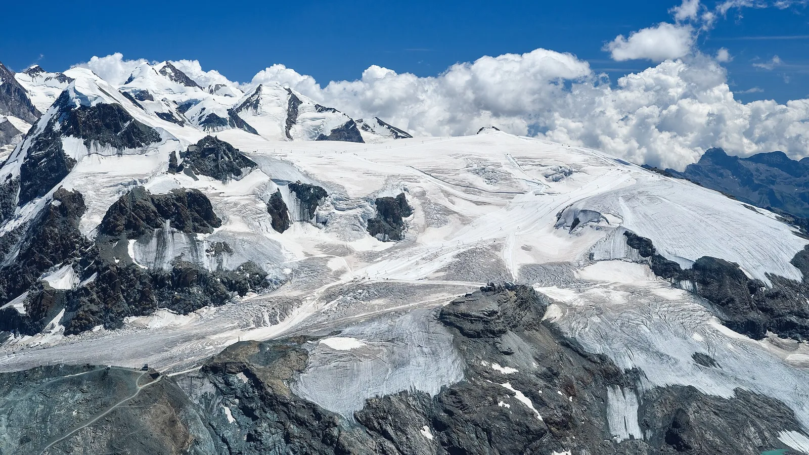
5.9 km · +1689 m · EEA — from Capoluogo to Testa Grigia (Groabhopt) (Lys Valley).
La Thuile
5.3 km · +1205 m · EE — from Joux to Becca Pouegnenta (La Thuile).
Valdigne
7.5 km · +1356 m · EE — from La Clusaz to Pas de Planaval (Valdigne).
Valle del Gran San Bernardo
1.5 km · +308 m · EE — from La Saxe to Belvedere (Great St Bernard Valley).
Val di Cogne
3 km · +759 m · EE — from Lac de Chamolé to Pointe-Valletta (Cogne Valley).

Valle del Lys
8.4 km · +1277 m · EE — from Le Crin to Col Fénis (Lys Valley).

Valle del Lys
9 km · +1364 m · EE — from Le Crin to Col Fussy (Lys Valley).
Valle del Lys
9.1 km · +1362 m · EE — from Le Crin to Col Fussy (Lys Valley).

Valle del Lys
7.8 km · +1322 m · EE — from Le Crin to Col Lavodilec (Lys Valley).

Valle del Lys
8.6 km · +1305 m · EE — from Le Crin to Col Moutsaillon (Lys Valley).

Valle del Lys
5.2 km · +828 m · EE — from Le Crin to La Rossaz (Lys Valley).

Valle del Lys
5.9 km · +804 m · EE — from Le Crin to La Tramouaille de la Rossaz (Lys Valley).
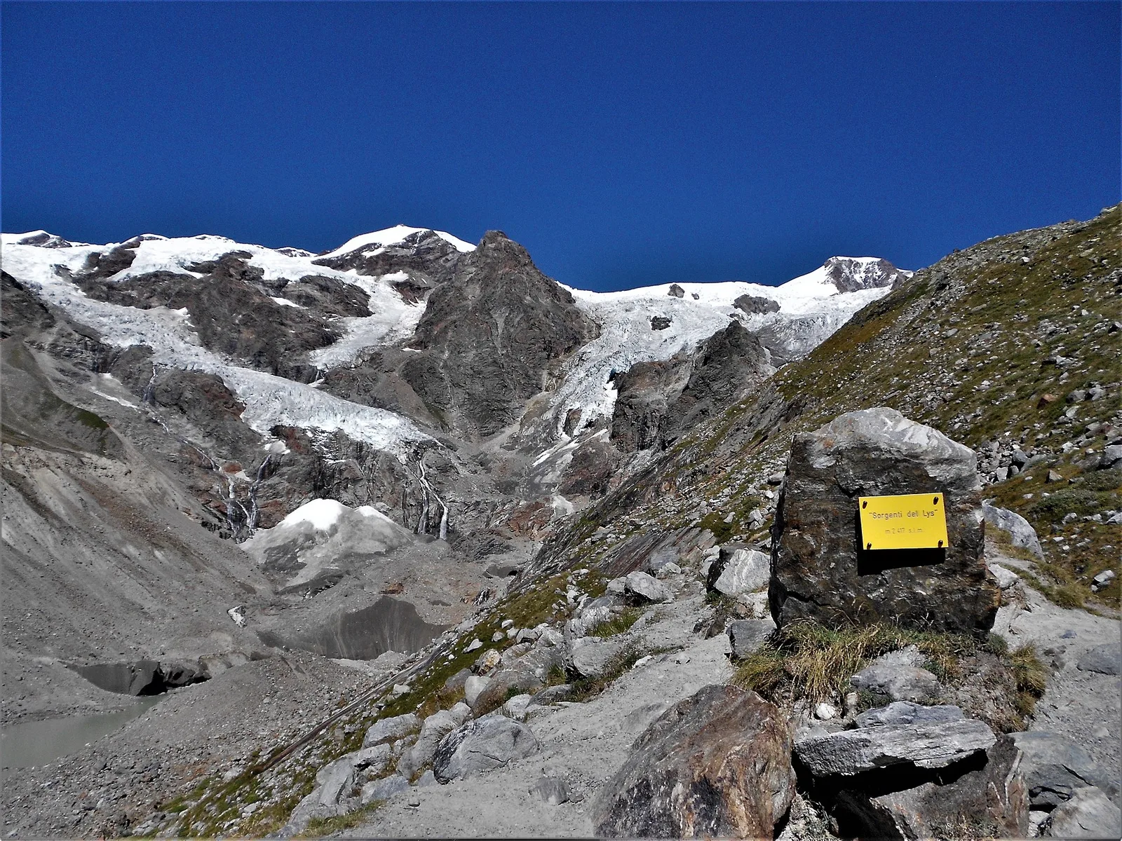
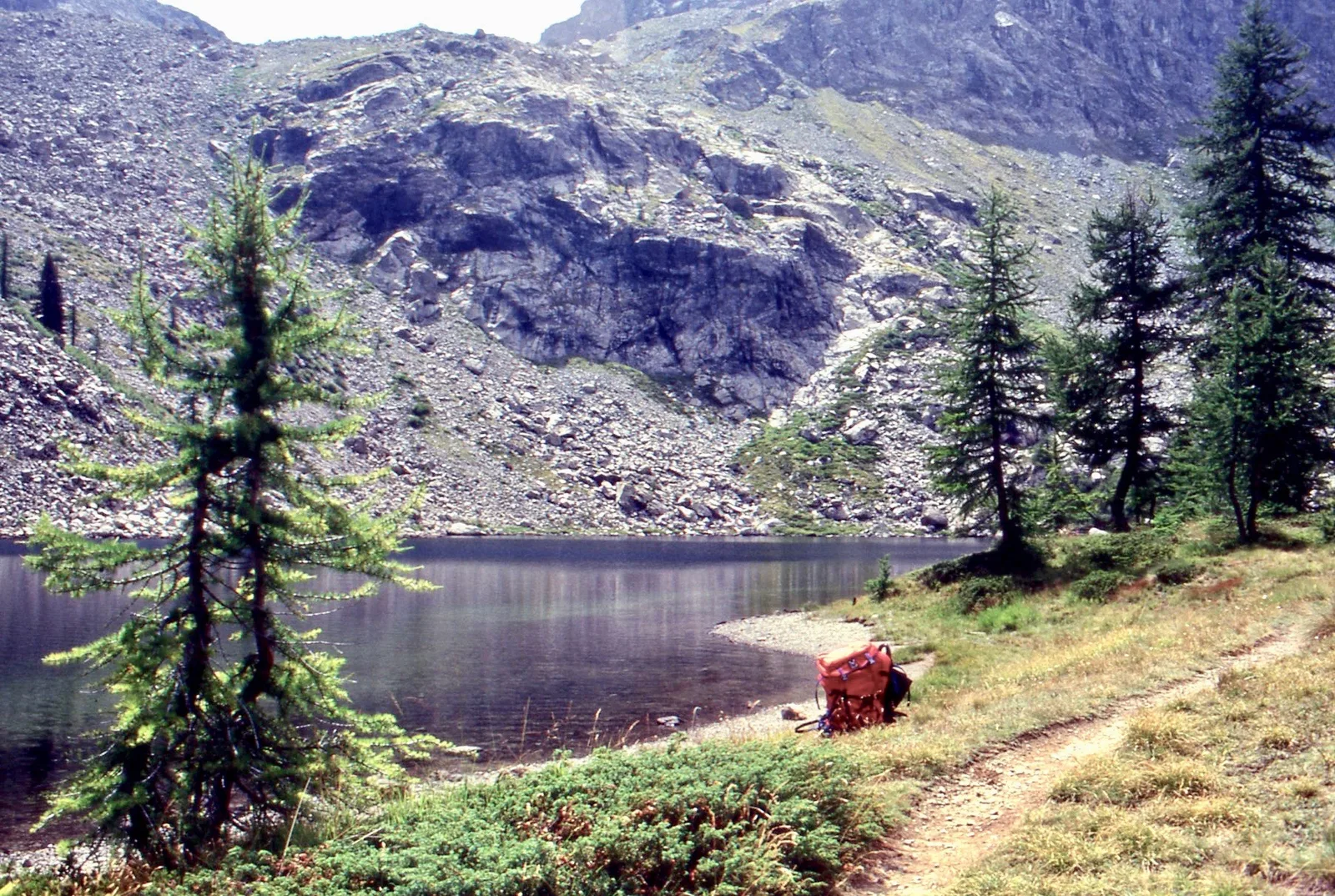
Valle del Lys
3.3 km · +571 m · EE — from Staffal to Sorgenti del Lys (Lys Valley).
Val d'Ayas
6 km · +975 m · EEA — from Levionaz to Passage du Grand Neyron (Ayas Valley).
Valle del Lys
13 km · +1321 m · EE — from Lillaz to Col des Eaux-Rousses (Lys Valley).
Valle centrale
8.4 km · +1813 m · EE — from Lo Pian to Col de Panaz (Central Valley).
Valle centrale
3.7 km · +740 m · EE — from Lod to Pointe de Falinière (Central Valley).
Valtournenche
6.2 km · +1444 m · EE — from Lusey to Col Varotta (Valtournenche).
Valle del Lys
5 km · +865 m · EE — from Maison Blanche to Praz Premier (Lys Valley).

Valle del Lys
5.2 km · +1204 m · EE — from Maisonnasse to Col de Raye Chevrère (Lys Valley).
Valtournenche
9.8 km · +1837 m · EE — from Monteil to Le Give (Valtournenche).
Valle del Gran San Bernardo
3.9 km · +952 m · EE — from Niel to Punta dei Tre Vescovi (Great St Bernard Valley).
Valle di Champorcher
4.9 km · +1393 m · EE — from Obrò Biela to Passo di Rissuolo (Champorcher Valley).
Valle del Lys
3.5 km · +1000 m · EE — from Ondre Eselbode to Bivacco Gastaldi (Lys Valley).
Valle centrale
3 km · +360 m · EE — from Ostafa to Col du Pinter (Central Valley).
Valtournenche
5.8 km · +1334 m · EE — from Outrefer to Mognissola (Valtournenche).
Valpelline
11.2 km · +535 m · EE — from Ru to Place Moulin (Valpelline).
Valle centrale
7.2 km · +1422 m · EE — from Paquier to Becca d'Aran (Central Valley).
Valtournenche
7.4 km · +873 m · EE — from Parcheggio Dondena to Col de la Roese di Bantse (Valtournenche).
Valle del Gran San Bernardo
2.3 km · +378 m · EE — from Pavillon to Morena Thoula (Great St Bernard Valley).
Valle del Gran San Bernardo
2.7 km · +212 m · EE — from Pavillon to Belvedere della Brenva (Great St Bernard Valley).
Valle centrale
5.5 km · +971 m · EE — from Perrères to Motta di Plété Occidentale (Central Valley).
Valle centrale
9 km · +1334 m · EE — from Perrères to Col de Valcournera (Central Valley).
Valle centrale
5.5 km · +928 m · EEA — from Laghetto Vofrède to Rifugio Perucca Vuillermoz (Central Valley).
Valtournenche
2.6 km · +507 m · EE — from Petit-Rosier to Col d'Arcomy (Valtournenche).
Valtournenche
1.4 km · +381 m · EE — from Petit-Rosier to Col de Poussauel (Valtournenche).
Valle del Lys
3.2 km · +384 m · EEA — from Piatta-de-Greuvon to Pointe Valletta (Lys Valley).
Valpelline
8.3 km · +866 m · EE — from Place Moulin to Rifugio Nacamuli (Valpelline).
Valle del Lys
4.6 km · +1151 m · EE — from Plan Coummarial to Mont Mars (Lys Valley).
Valle centrale
4.8 km · +1032 m · EE — from Plan de la Glae to Mont Pancherot (Central Valley).
Valle del Gran San Bernardo
3.7 km · +1079 m · EE — from Pont Combal to Bivacco Rainetto (Great St Bernard Valley).
Valle del Gran San Bernardo
2.9 km · +283 m · EE — from Pont Combal to Ghiacciaio del Miage quota 2260 (Great St Bernard Valley).
Val d'Ayas
6.4 km · +1593 m · EE — from Pont de Messuere to Corno Boussolaz (Ayas Valley).
Valle del Gran San Bernardo
2.3 km · +421 m · EE — from Pré de Pascal to Mont-Chetif (Great St Bernard Valley).
Valdigne
9.1 km · +1246 m · EE — from Promiod to Mont Tantané (Valdigne).

Val d'Ayas
8.9 km · +1708 m · EE — from Quinçod to Colle Chasten (Ayas Valley).
Val d'Ayas
8.6 km · +1708 m · EE — from Quinçod to Colle Chasten (Ayas Valley).
Valtournenche
2.9 km · +376 m · EE — from Remoran to Col d'Arcomy (Valtournenche).
Valtournenche
2.1 km · +331 m · EE — from Remoran to Col Terre Rousse (Valtournenche).
Valle centrale
2.2 km · +586 m · EE — from Résy to Palon de Résy (Central Valley).
Valle di Champorcher
4.3 km · +1026 m · EE — from Rifugio Alpenzù to Passo di Valfredda (Champorcher Valley).
Val di Cogne
5.1 km · +1055 m · EE — from Rifugio Arbolle to Mont-Emilius (Cogne Valley).

Val d'Ayas
2.6 km · +518 m · EE — from Rifugio Arp to Punta Valfredda (Ayas Valley).
Valle centrale
5.6 km · +726 m · EE — from Rifugio Barmasse to Bivacco Rivolta (Central Valley).
Val d'Ayas
3.5 km · +545 m · EE — from Rifugio Chabod to Passage du Grand Neyron (Ayas Valley).
Valle del Lys
1.7 km · +418 m · EEA — from Rifugio Coda to Mont Mars (Lys Valley).
Valle del Lys
6.4 km · +1094 m · EE — from Rifugio del Lys to Rifugio Mantova (Lys Valley).
Valle del Gran San Bernardo
3 km · +756 m · EE — from Rifugio Elisabetta to Bivacco Hess (Great St Bernard Valley).
Valle centrale
2.4 km · +464 m · EE — from Rifugio Grand Tournalin to Bec de Nannaz (Central Valley).
Valle centrale
2.2 km · +485 m · EE — from Rifugio Grand Tournalin to Becca Trécare (Central Valley).
Valle centrale
2.7 km · +661 m · EE — from Rifugio Grand Tournalin to Petit Tournalin (Central Valley).
Valpelline
1.5 km · +312 m · EE — from Rifugio Oratorio di Cunéy to Becca Fontaney (Valpelline).
Valpelline
5.8 km · +1127 m · EE — from Rifugio Prarayer to Colle di Valcorneraz (Valpelline).
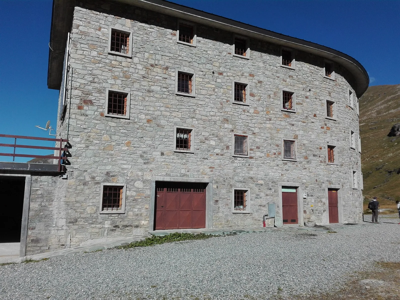
Valpelline
7.3 km · +797 m · EEA — from Rifugio Prarayer to Rifugio Aosta (Valpelline).
Valle di Champorcher
5.1 km · +1333 m · EE — from Rong to Passo dell'Alpetto (Champorcher Valley).
Valle di Champorcher
4.8 km · +1211 m · EE — from Rong to Passo Valdobbiola (Champorcher Valley).
Valle del Lys
2.9 km · +688 m · EE — from Rovarey to Thuy damon (Chambave) (Lys Valley).
Valle centrale
9.1 km · +1579 m · EE — from Saint-Jacques to Mont Roisetta (Central Valley).

Valle centrale
6.8 km · +1202 m · EE — from Saint-Jacques to Monte Croce (Central Valley).
Valle centrale
9.5 km · +1907 m · EEA — from Saint-Jacques to Rifugio Quintino Sella (Central Valley).
Valle centrale
4.2 km · +802 m · EE — from Sainte-Marguerite to Col Giassit (Central Valley).
Valpelline
4.5 km · +1016 m · EE — from Servaz to Cima Bianca (Valpelline).

Valle del Lys
6.6 km · +1413 m · EE — from Servettaz to Col de Bellalanaz (Lys Valley).
Valle del Lys
2.1 km · +740 m · EE — from Servettaz to Druges (Lys Valley).

Valle del Lys
8.4 km · +1020 m · EE — from Staffal to Punta Telcio (Lys Valley).
Valle del Lys
8.6 km · +1731 m · EE — from Staffal to Rifugio Mantova (Lys Valley).

Valtournenche
3.5 km · +745 m · EE — from Strada Dondena to Cima Piana (Valtournenche).
Valtournenche
3.5 km · +639 m · EE — from Strada Dondena to Col Cima Piana (Valtournenche).

Valtournenche
3.5 km · +639 m · EE — from Strada Dondena to Col Cima Piana (Valtournenche).

Valtournenche
0.8 km · +258 m · EE — from Strada Dondena to Col Terre Rousse (Valtournenche).

Val d'Ayas
8.6 km · +1149 m · EE — from Strada per Estoul to Corno Boussolaz (Ayas Valley).
Val d'Ayas
7.9 km · +1149 m · EE — from Strada per Estoul to Corno Boussolaz (Ayas Valley).
Val d'Ayas
5.2 km · +886 m · EE — from Estoul to Mont Bieteron (Ayas Valley).

Valle centrale
7.5 km · +1317 m · EE — from Sassa to Rifugio Coda (Central Valley).
Valle del Gran San Bernardo
15.8 km · +0 m · EE — from Capoluogo to Eaux Rousses (Great St Bernard Valley).
Val d'Ayas
17.2 km · +1676 m · EE — from Eaux Rousses to Rifugio Sella (Ayas Valley).
Valtournenche
7.9 km · +0 m · EE — from Rifugio Chalet de l'Epée to Capoluogo (Valtournenche).
Valle centrale
16.3 km · +1383 m · EE — from Rifugio Barmasse to Rifugio Cuney (Central Valley).
Val d'Ayas
7.9 km · +1795 m · EE — from Toulaplana, Creton to Pointe Bioula (Ayas Valley).

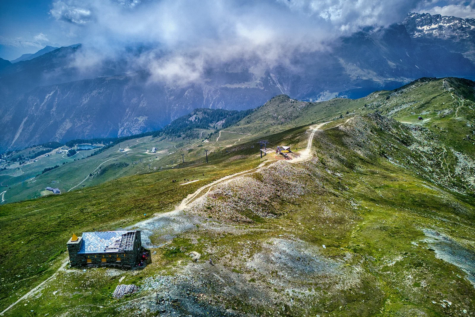
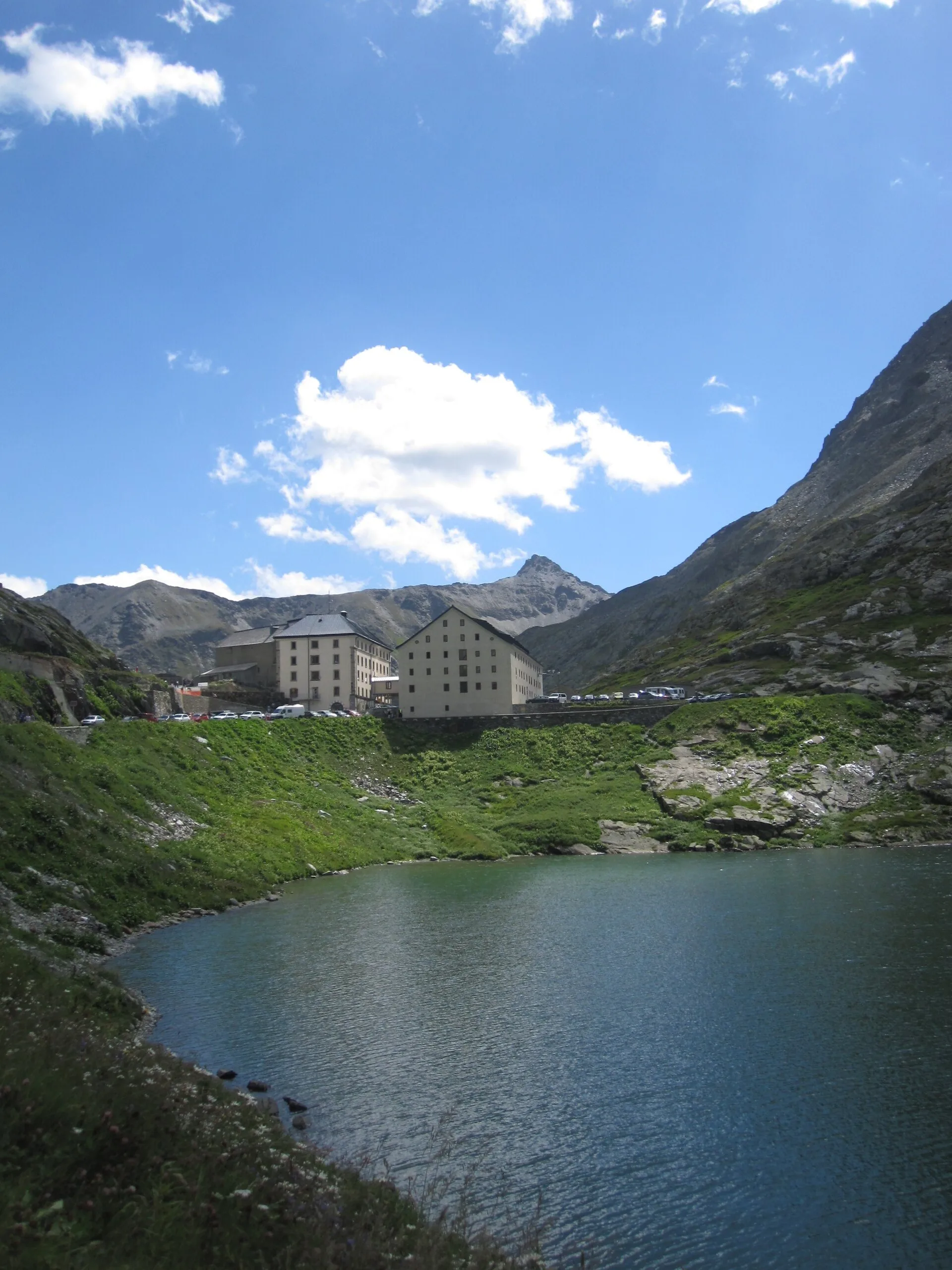
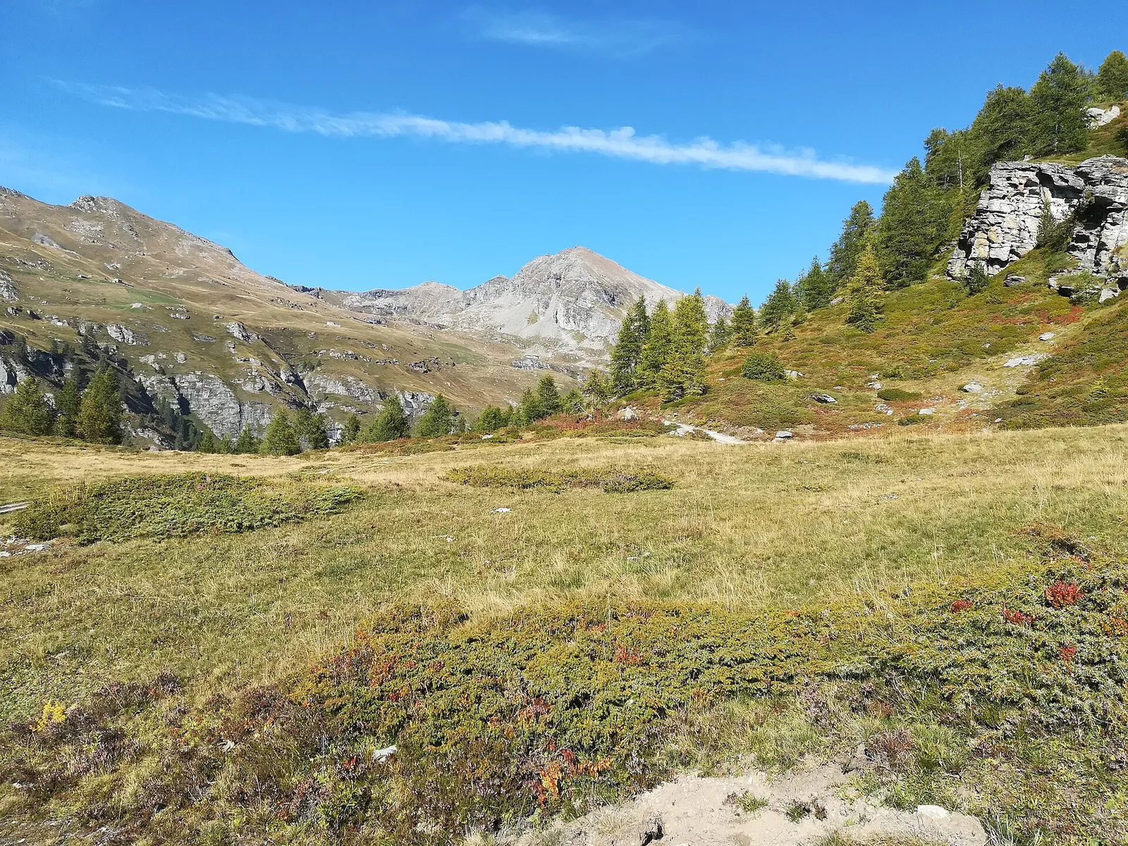
Valtournenche
Climb to Colle del Teodulo, pass toward the Swiss side of the tour.
Valpelline
Approach to the Gran Combin massif.

Valpelline
Descent to Oyace closing the VdA Gran Combin loop.
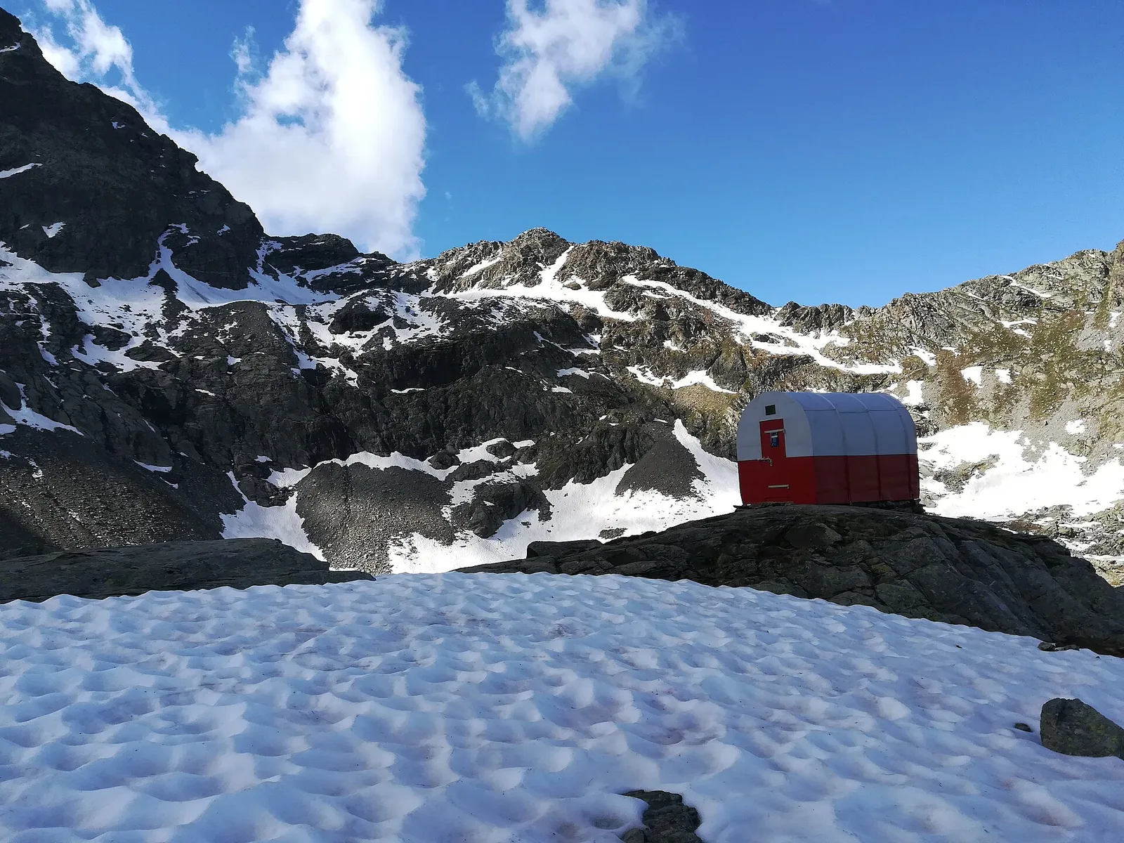
Valsavarenche
Climb to Col du Loson and Rifugio Vittorio Sella.

Valle del Lys
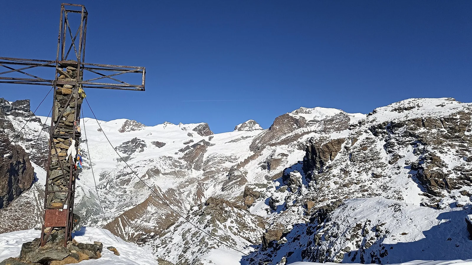
Traverse toward Colle del Teodulo (3301 m) and Breuil-Cervinia.
Valle centrale
2.1 km · +235 m · EE — from Vens to Col du Joux (Central Valley).
Valle centrale
8.5 km · +1254 m · EE — from Verrogne to Mont de Vertosan (Central Valley).
Valle centrale
4.8 km · +719 m · EE — from Verrogne to Becca France (Central Valley).
Valle centrale
8.4 km · +1360 m · EE — from Vetan to Mont Fallère (Central Valley).
Valle centrale
7.2 km · +1009 m · EE — from Vetan to Col Palettaz (Central Valley).
Valle centrale
5.3 km · +1303 m · EE — from Veulla to Col Varotta (Central Valley).
Valle centrale
9 km · +1861 m · EE — from Veulla to Grand Lac (Central Valley).
Valle del Gran San Bernardo
1.8 km · +249 m · EE — from Villair to Belvedere (Great St Bernard Valley).

Valle di Champorcher
7.1 km · +1699 m · EE — from Zer Schmettò to Bivacco Lateltin (Champorcher Valley).